Summerville is a town in the U.S. state of South Carolina situated mostly in Dorchester County, with small portions in Berkeley and Charleston counties. It is part of the Charleston-North Charleston-Summerville Metropolitan Statistical Area. Summerville’s population at the 2020 census was 50,915.
| Name: | Summerville town |
|---|---|
| LSAD Code: | 43 |
| LSAD Description: | town (suffix) |
| State: | South Carolina |
| County: | Berkeley County, Charleston County, Dorchester County |
| Incorporated: | 1847 |
| Elevation: | 89 ft (27 m) |
| Total Area: | 22.67 sq mi (58.72 km²) |
| Land Area: | 22.54 sq mi (58.37 km²) |
| Water Area: | 0.14 sq mi (0.35 km²) |
| Total Population: | 50,915 |
| Population Density: | 2,259.27/sq mi (872.30/km²) |
| ZIP code: | 29483-29486 |
| Area code: | 843, 854 |
| FIPS code: | 4570270 |
| GNISfeature ID: | 1251073 |
| Website: | www.summervillesc.gov |
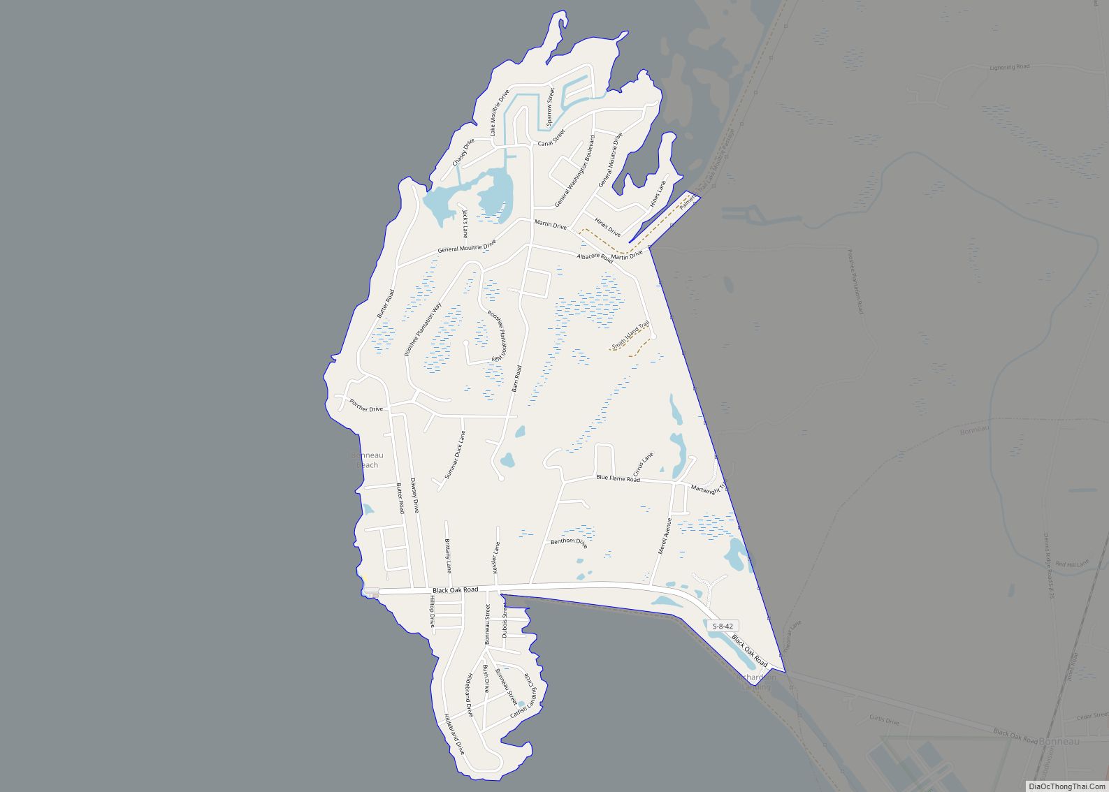
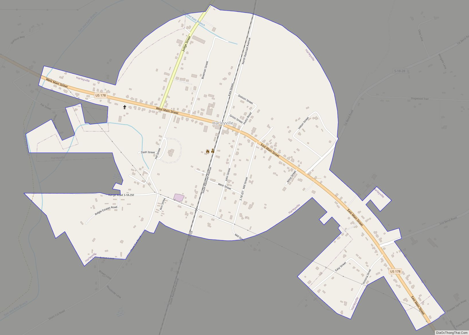
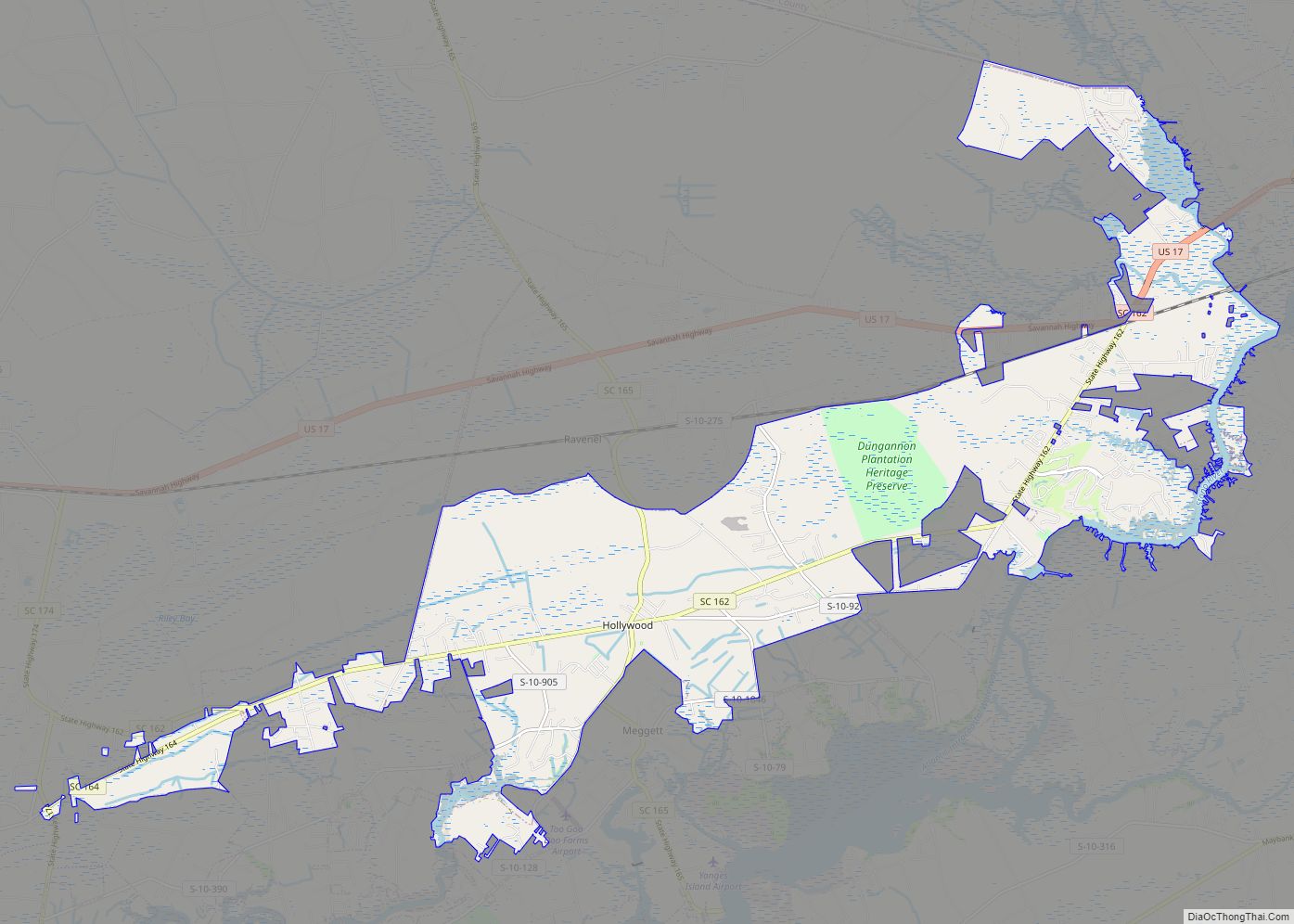
Online Interactive Map
Click on ![]() to view map in "full screen" mode.
to view map in "full screen" mode.
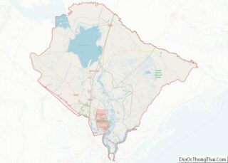
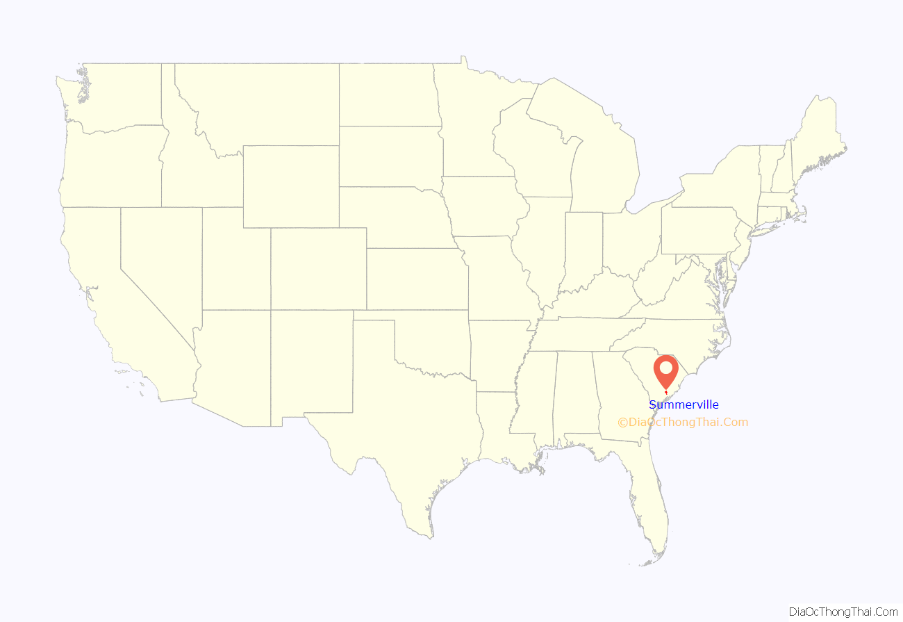
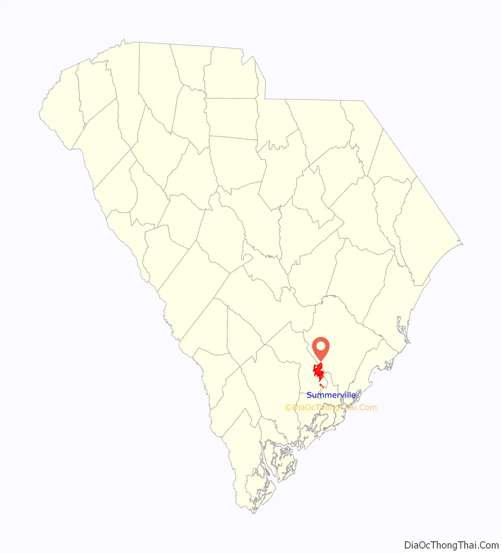
Summerville location map. Where is Summerville town?
History
The first settlement in Summerville began following the American Revolutionary War; it was called Pineland Village in 1785. Development in the area resulted from plantation owners who resided in the Charleston area and came to Summerville to escape seasonal insects and swamp fever.
Summerville became an official town on 17 December 1847. That year, the town passed a law against cutting down trees, the nation’s first such law, and a $25 fine was issued to anyone who did so without permission. The town’s official seal reads “Sacra Pinus Esto (The Pine is Sacred).”
In 1899, the International Congress of Physicians (or “Tuberculosis Congress”) listed Summerville as one of the world’s two best areas for treatment of and recovery from lung and throat disorders, due to its dry and sandy location and the many pine trees that release turpentine derivatives into the air. This notation is credited with aiding Summerville’s commercial and residential development.
The former Summerville post office built in 1938 contains a mural, Train Time – Summerville, painted by Bernadine Custer in 1939. Federally commissioned murals were produced from 1934 to 1943 in the U.S. through the Section of Painting and Sculpture, later called the Section of Fine Arts, of the Treasury Department.
The Ashley River Road, Middleton Place, Colonial Dorchester State Historic Site, Old White Meeting House Ruins and Cemetery, and the Summerville Historic District are listed on the National Register of Historic Places.
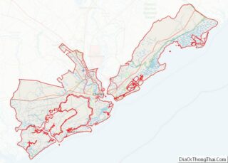
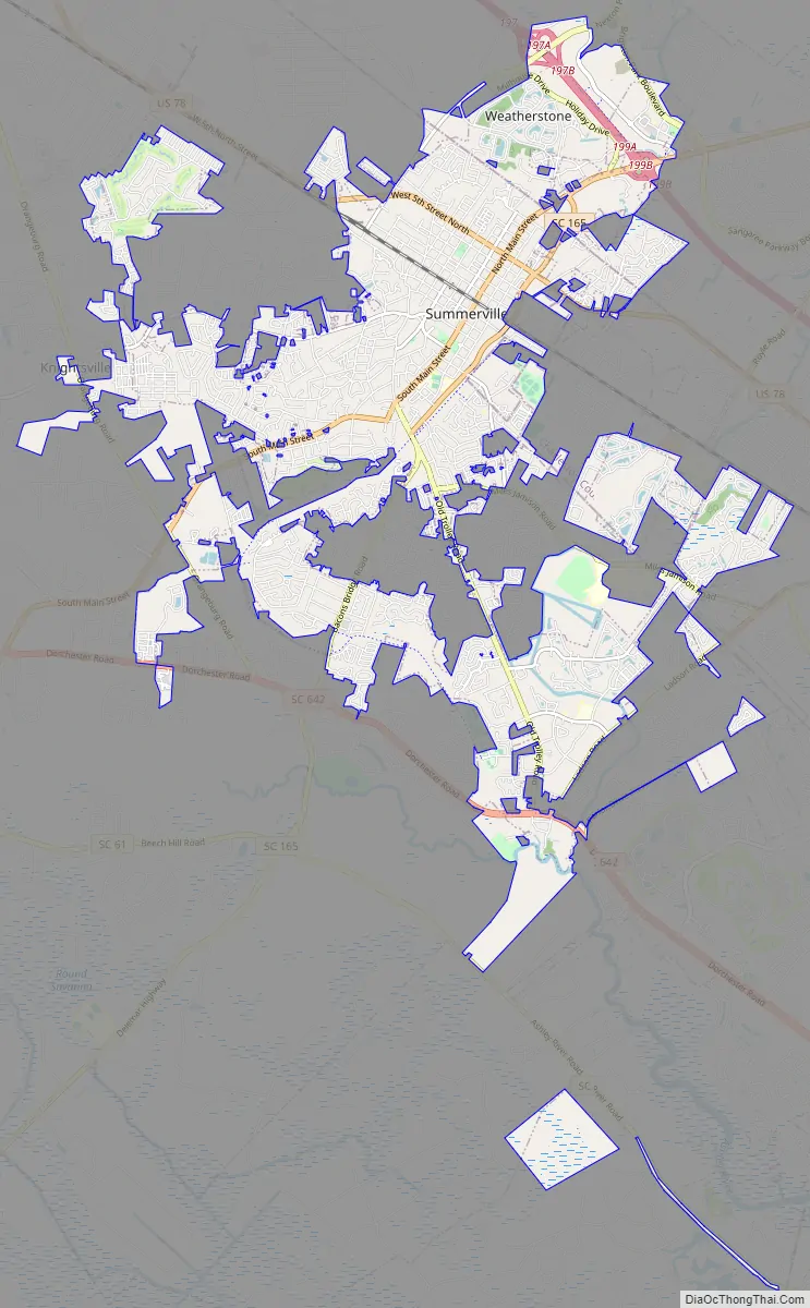
Summerville Road Map
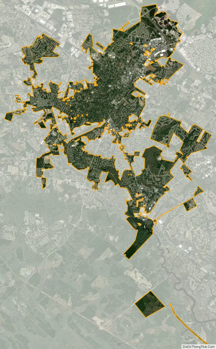
Summerville city Satellite Map
Geography
The center of Summerville is in southeastern Dorchester County; the town extends northeast into Berkeley and Charleston counties. It is bordered to the east by the town of Lincolnville and to the southeast by the city of North Charleston. Summerville’s town limits extend south as far as the Ashley River next to Old Fort Dorchester State Historical Park.
U.S. Route 78 passes near the center of Summerville, leading southeast 24 miles (39 km) to downtown Charleston and northwest 29 miles (47 km) to Interstate 95 at St. George. Interstate 26 leads through Summerville’s northeast corner, with access from Exit 199, leading southeast to Charleston and northwest 90 miles (140 km) to Columbia.
According to the United States Census Bureau, the town has an area of 18.1 square miles (47.0 km), of which 18.0 square miles (46.7 km) is land and 0.12 square miles (0.3 km), or 0.62%, is water.
See also
Map of South Carolina State and its subdivision:- Abbeville
- Aiken
- Allendale
- Anderson
- Bamberg
- Barnwell
- Beaufort
- Berkeley
- Calhoun
- Charleston
- Cherokee
- Chester
- Chesterfield
- Clarendon
- Colleton
- Darlington
- Dillon
- Dorchester
- Edgefield
- Fairfield
- Florence
- Georgetown
- Greenville
- Greenwood
- Hampton
- Horry
- Jasper
- Kershaw
- Lancaster
- Laurens
- Lee
- Lexington
- Marion
- Marlboro
- McCormick
- Newberry
- Oconee
- Orangeburg
- Pickens
- Richland
- Saluda
- Spartanburg
- Sumter
- Union
- Williamsburg
- York
- Alabama
- Alaska
- Arizona
- Arkansas
- California
- Colorado
- Connecticut
- Delaware
- District of Columbia
- Florida
- Georgia
- Hawaii
- Idaho
- Illinois
- Indiana
- Iowa
- Kansas
- Kentucky
- Louisiana
- Maine
- Maryland
- Massachusetts
- Michigan
- Minnesota
- Mississippi
- Missouri
- Montana
- Nebraska
- Nevada
- New Hampshire
- New Jersey
- New Mexico
- New York
- North Carolina
- North Dakota
- Ohio
- Oklahoma
- Oregon
- Pennsylvania
- Rhode Island
- South Carolina
- South Dakota
- Tennessee
- Texas
- Utah
- Vermont
- Virginia
- Washington
- West Virginia
- Wisconsin
- Wyoming