Sullivan’s Island, historically known as O’Sullivan’s Island, is a town and island in Charleston County, South Carolina, United States, at the entrance to Charleston Harbor, with a population of 1,791 at the 2010 census, and 1,891 people in 2020. The town is part of the Charleston metropolitan area, and is considered a very affluent suburb of Charleston.
Sullivan’s Island was the point of entry for approximately 40 to 50 percent of the 400,000 enslaved Africans brought to Colonial America, meaning that 99% of all African Americans have ancestors that came through the island. It has been likened to Ellis Island, the 19th-century reception point for immigrants in New York City. During the American Revolution, the island was the site of a major battle at Fort Sullivan on June 28, 1776, since renamed Fort Moultrie in honor of the American commander at the battle.
On September 23, 1989, Hurricane Hugo came ashore near Sullivan’s Island; few people were prepared for the destruction that followed in its wake. The eye of the hurricane passed directly over Sullivan’s Island. The Ben Sawyer Bridge was a casualty, breaking free of its locks. Before the storm was over, one end of the bridge was in the water and the other was pointing skyward. Sullivan’s Island police chief, Jack Lilien, was the last person to leave the island before the bridge gave way.
| Name: | Sullivan’s Island town |
|---|---|
| LSAD Code: | 43 |
| LSAD Description: | town (suffix) |
| State: | South Carolina |
| County: | Charleston County |
| Elevation: | 9 ft (3 m) |
| Total Area: | 3.44 sq mi (8.91 km²) |
| Land Area: | 2.50 sq mi (6.47 km²) |
| Water Area: | 0.94 sq mi (2.44 km²) |
| Total Population: | 1,891 |
| Population Density: | 757.01/sq mi (292.28/km²) |
| ZIP code: | 29482 |
| Area code: | 843, 854 |
| FIPS code: | 4570090 |
| GNISfeature ID: | 1231842 |
| Website: | sullivansisland-sc.com |
Online Interactive Map
Click on ![]() to view map in "full screen" mode.
to view map in "full screen" mode.
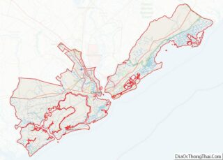
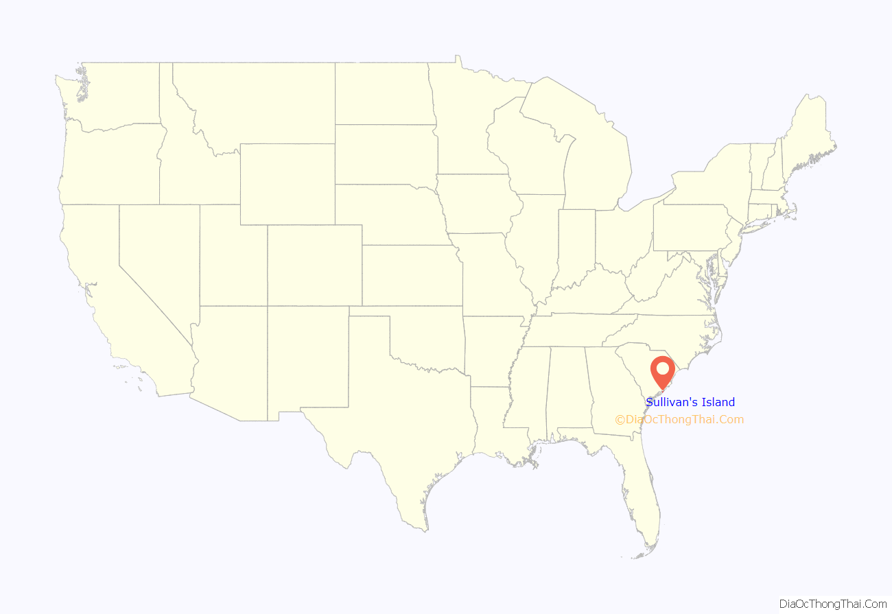
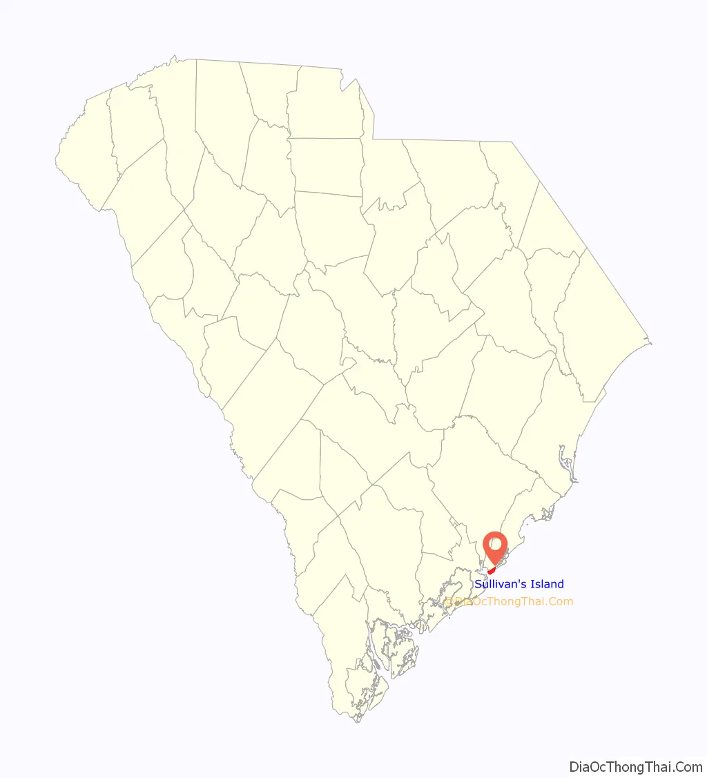
Sullivan’s Island location map. Where is Sullivan’s Island town?
History
The island was known as O’Sullivan’s Island, named for Captain Florence O’Sullivan, who was stationed here as a lookout in the late 17th century. O’Sullivan was captain of one of the ships in the first fleet to establish the colonial settlement of Charles Town. In 1671, he became surveyor general. He appears in the earliest record of Irish immigration to the Carolinas, mentioned as being taken on “at Kingsayle (Kinsale) in Ireland”.
Sullivan’s Island was used as a quarantine station for enslaved Africans, who were housed in various “pest houses” on the island and checked for communicable diseases before they were transported to Charleston for sale at public auction. Sullivan’s Island was the port of entry for over 40% of the estimated 400,000 enslaved Africans transported to Colonial America, making it the largest slave port in North America. It is estimated that more than half, if not all, of all African Americans have ancestors who passed through Sullivan’s Island.
On July 26, 2008, the Toni Morrison Society dedicated a small, black, steel bench on Sullivan’s Island to the memory of the Africans forced into slavery, one of several which are planned. The memorial was privately funded.
In 2009, the National Park Service installed a commemorative marker at Fort Moultrie describing the Sullivan’s Island Quarantine Station. The text on the plaque reads:
Albert Wheeler Todd, an architect from Charleston, designed a town hall for the island. For most of its history, the town, located on the southwest half of the island, was known as “Moultrieville”. Later, Atlanticville, a community on the north-east of the islands, merged with Moultrieville and together the two became the town of Sullivan’s Island. In 1962, the new Charleston Light was built.
In May 2006, the Town of Sullivan’s Island became the first municipality in South Carolina to ban smoking in all public places. The ordinance passed 4–2 and the ban went into effect in June.
The Atlanticville Historic District, Battery Gadsden, Battery Thomson, Fort Moultrie Quartermaster and Support Facilities Historic District, Moultrieville Historic District, Dr. John B. Patrick House, Sullivan’s Island Historic District, and U.S. Coast Guard Historic District are listed on the National Register of Historic Places.
Fort Moultrie
On June 28, 1776, an incomplete fort was held by South Carolinian forces under Colonel William Moultrie against an invasion by a British force under the command of Henry Clinton sailing with Commodore Sir Peter Parker’s Royal Navy fleet. The British cannonade proved to have no effect on the sand-filled palmetto log walls of the fort; the only fatalities were the result of those shots that carried over the walls.
During this battle, a flag designed by Moultrie flew over the fortress; it was dark blue with a crescent moon on it bearing the word “liberty”. When this flag was shot down, Sergeant William Jasper reportedly picked it up and held it aloft, rallying the troops until a new standard could be provided. Because of the importance of this pivotal battle, that flag became symbolic of liberty in South Carolina, the South, and the nation as a whole.
The Battle of Sullivan’s Island was commemorated by the addition of a white palmetto tree to the flag used to rally that day, known as the Moultrie Flag. This was used as the basis of the state flag of South Carolina. The victory is celebrated and June 28 is known as Carolina Day.
The history of the island has been dominated by Fort Moultrie, which, until its closure in the late 1940s, served as the base of command for the defense of Charleston. After World War II, the Department of Defense concluded that such coastal defense installations were no longer needed, given current technology and style of war. It is now used as heritage tourism.
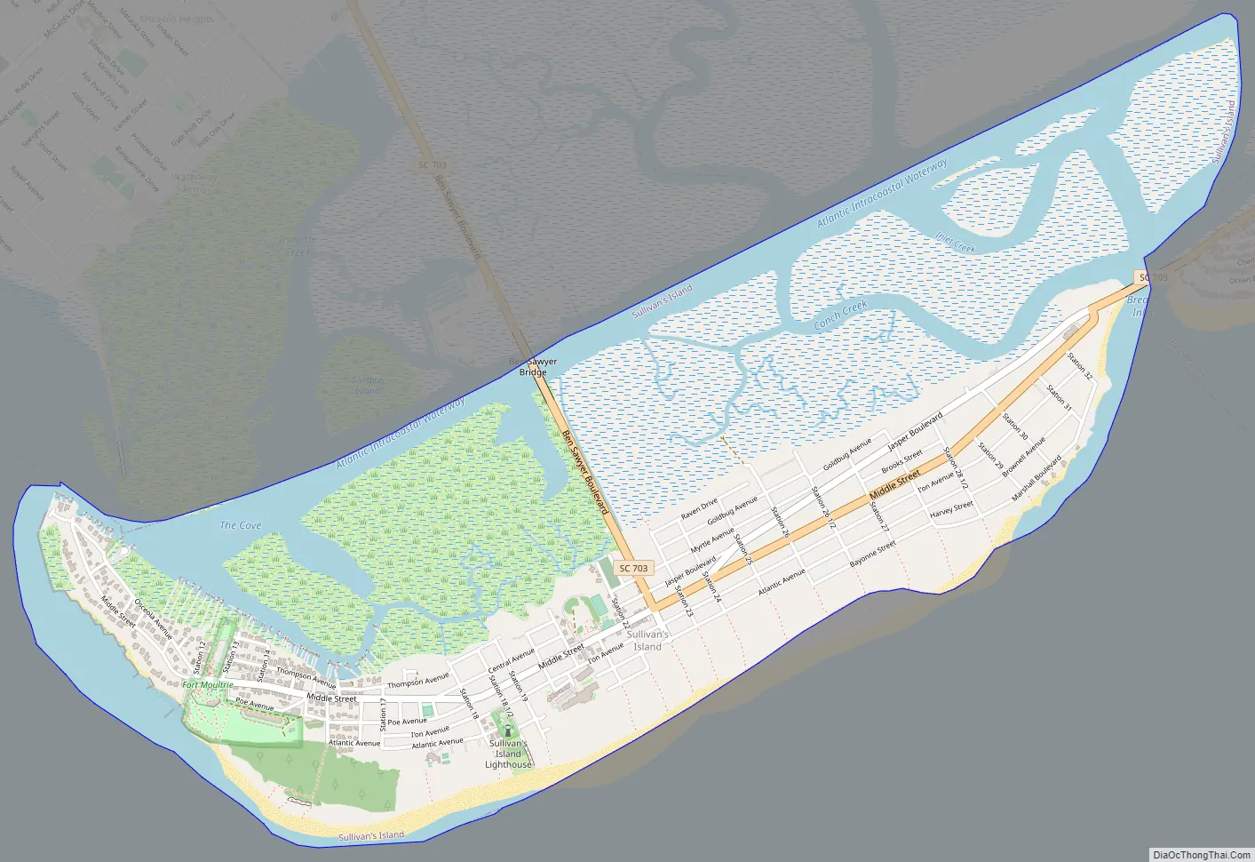
Sullivan’s Island Road Map
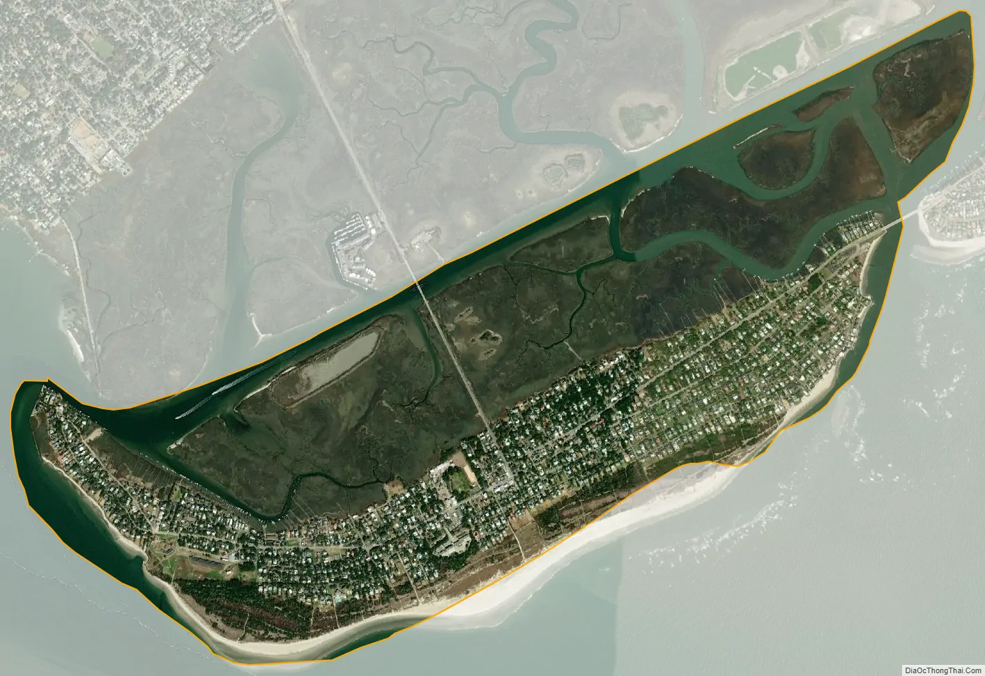
Sullivan’s Island city Satellite Map
Geography
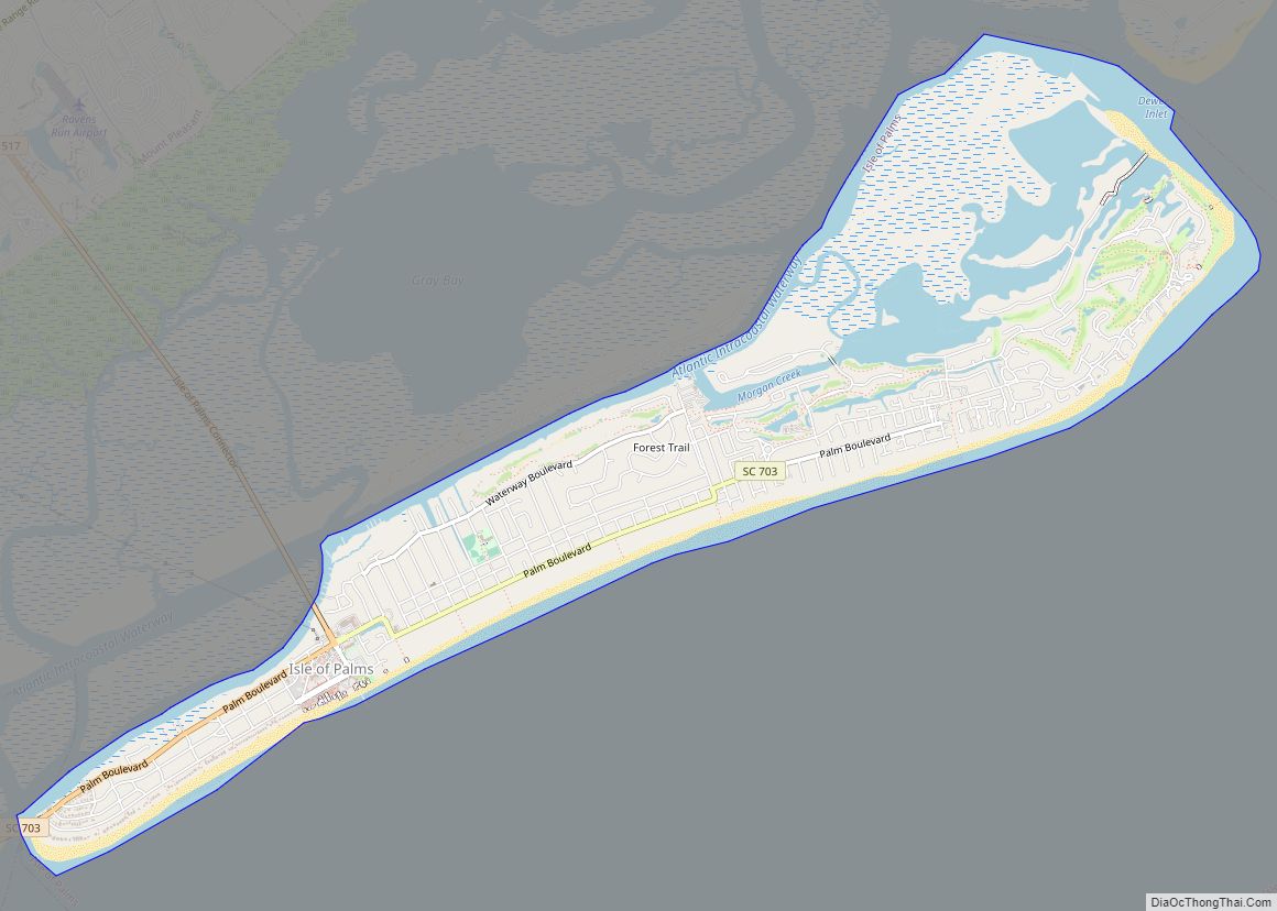
Sullivan’s Island is located along the Atlantic Ocean near the center of Charleston County. The town is bordered to the west by the entrance to Charleston Harbor, to the north by Cove Inlet and the Intracoastal Waterway, and to the east by Breach Inlet and Swinton Creek. The Ben Sawyer Bridge connects Sullivan’s Island to Mount Pleasant to the north. A bridge spanning Breach Inlet connects it to Isle of Palms to the east. By road it is 9 miles (14 km) north and then west into Charleston.
According to the U.S. Census Bureau, the town of Sullivan’s Island has a total area of 3.4 square miles (8.9 km), of which 2.5 square miles (6.5 km) is land and 0.93 square miles (2.4 km), or 27.36%, is water.
See also
Map of South Carolina State and its subdivision:- Abbeville
- Aiken
- Allendale
- Anderson
- Bamberg
- Barnwell
- Beaufort
- Berkeley
- Calhoun
- Charleston
- Cherokee
- Chester
- Chesterfield
- Clarendon
- Colleton
- Darlington
- Dillon
- Dorchester
- Edgefield
- Fairfield
- Florence
- Georgetown
- Greenville
- Greenwood
- Hampton
- Horry
- Jasper
- Kershaw
- Lancaster
- Laurens
- Lee
- Lexington
- Marion
- Marlboro
- McCormick
- Newberry
- Oconee
- Orangeburg
- Pickens
- Richland
- Saluda
- Spartanburg
- Sumter
- Union
- Williamsburg
- York
- Alabama
- Alaska
- Arizona
- Arkansas
- California
- Colorado
- Connecticut
- Delaware
- District of Columbia
- Florida
- Georgia
- Hawaii
- Idaho
- Illinois
- Indiana
- Iowa
- Kansas
- Kentucky
- Louisiana
- Maine
- Maryland
- Massachusetts
- Michigan
- Minnesota
- Mississippi
- Missouri
- Montana
- Nebraska
- Nevada
- New Hampshire
- New Jersey
- New Mexico
- New York
- North Carolina
- North Dakota
- Ohio
- Oklahoma
- Oregon
- Pennsylvania
- Rhode Island
- South Carolina
- South Dakota
- Tennessee
- Texas
- Utah
- Vermont
- Virginia
- Washington
- West Virginia
- Wisconsin
- Wyoming