Summerton is a town in Clarendon County, South Carolina, United States. Per the 2020 census, the population was 814.
| Name: | Summerton town |
|---|---|
| LSAD Code: | 43 |
| LSAD Description: | town (suffix) |
| State: | South Carolina |
| County: | Clarendon County |
| Elevation: | 138 ft (42 m) |
| Total Area: | 1.35 sq mi (3.51 km²) |
| Land Area: | 1.35 sq mi (3.51 km²) |
| Water Area: | 0.00 sq mi (0.00 km²) |
| Total Population: | 814 |
| Population Density: | 601.18/sq mi (232.08/km²) |
| ZIP code: | 29148 |
| Area code: | 803, 839 |
| FIPS code: | 4570225 |
| GNISfeature ID: | 1251072 |
| Website: | www.townofsummerton.com |
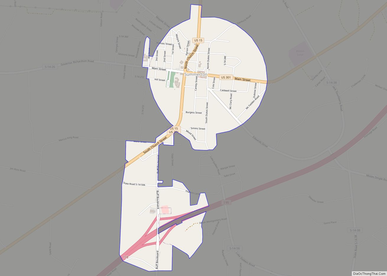
Online Interactive Map
Click on ![]() to view map in "full screen" mode.
to view map in "full screen" mode.
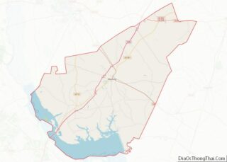
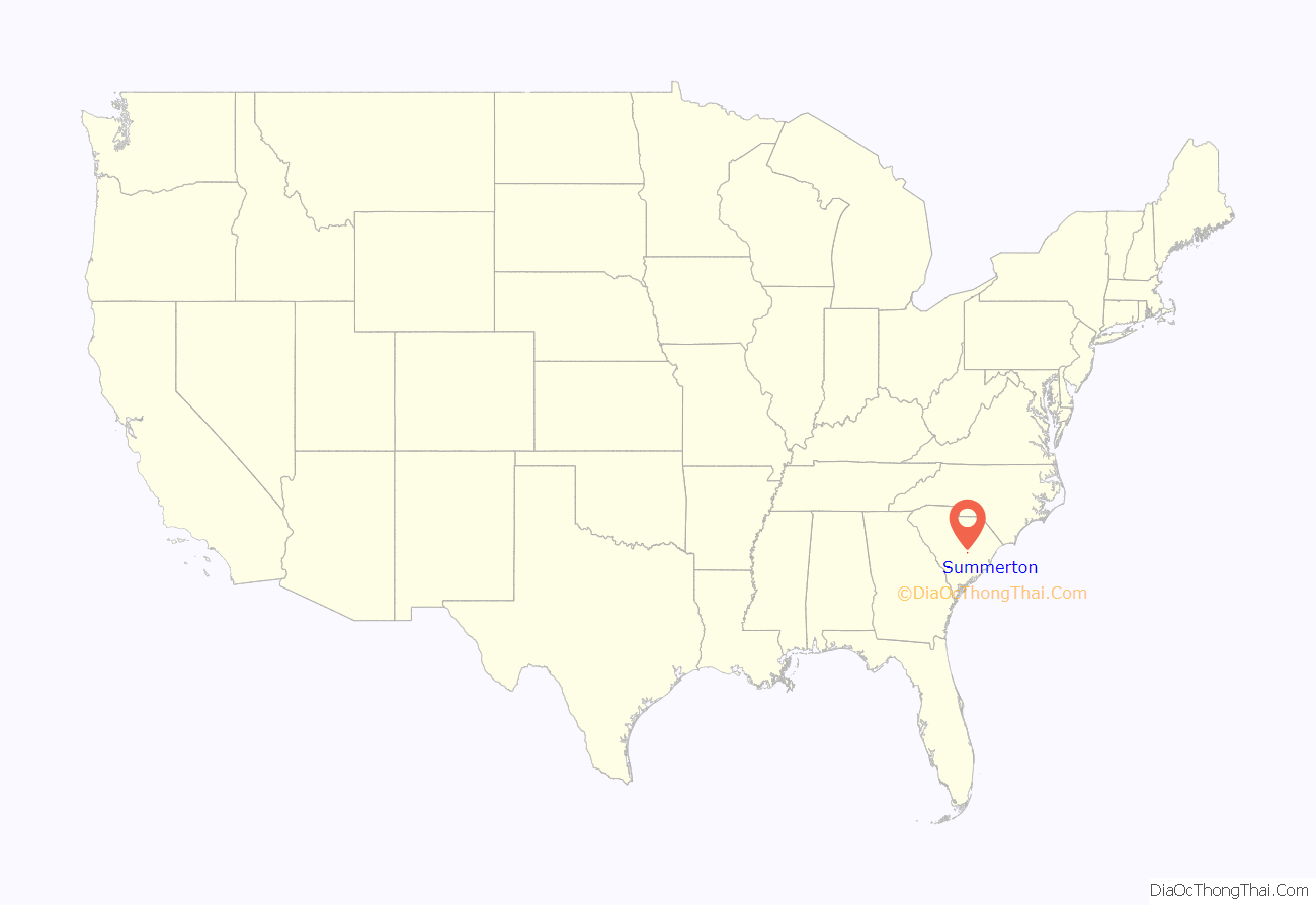
Summerton location map. Where is Summerton town?

History
Summerton’s history began circa 1830 to 1840. Plantation owners made their move inward to Summerton to escape from the mosquitos along the Santee River. It was thought of as a health resort and safe retreat from the “malaria” associated with the swamp. The town was officially chartered by the South Carolina legislative delegation on Christmas Eve, 1889.
Summerton is well known for the court case Briggs v. Elliott (Court citation:347 US 483). Briggs was the first filed of the four court cases combined into Brown v. Board of Education, the famous case in which the U.S. Supreme Court in 1954 officially overturned racial segregation in U.S. public schools. Summerton High School and Scott’s Branch High School were added to Brown v. Board of Education National Historical Park in 2022.
Despite the outcome of Briggs and Brown, as of 2004 Summerton’s schools remain effectively segregated, with nearly all white students now attending the private Clarendon Hall, leaving the public schools almost entirely African-American. As of 2004, 95% of public high school students at Scotts Branch High are black, despite 40% white population in the community.
Today, Summerton is still noted for being a summer retreat and vacation spot for visitors interested in nature and outdoor recreation activities, e.g. golf, fishing, hunting, boating, camping.
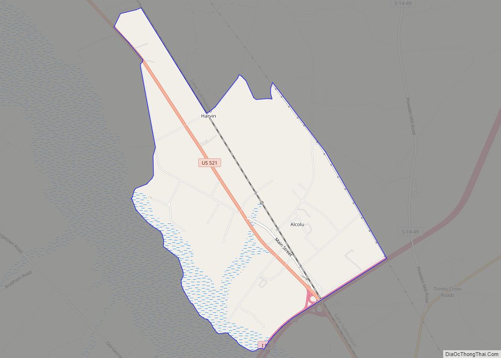
Summerton Road Map
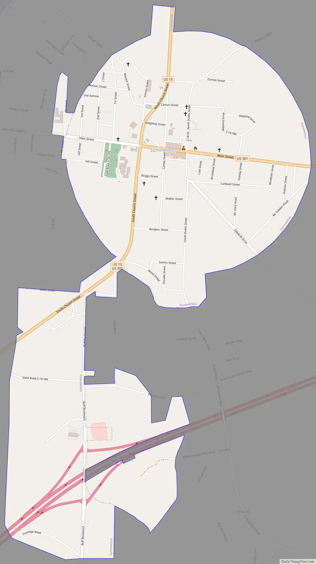
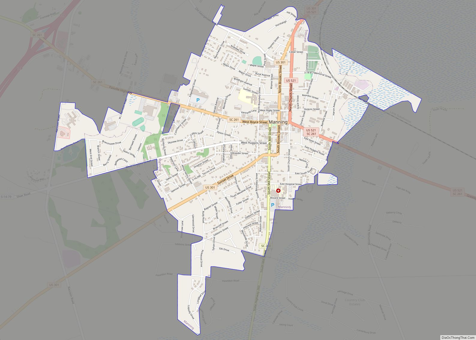
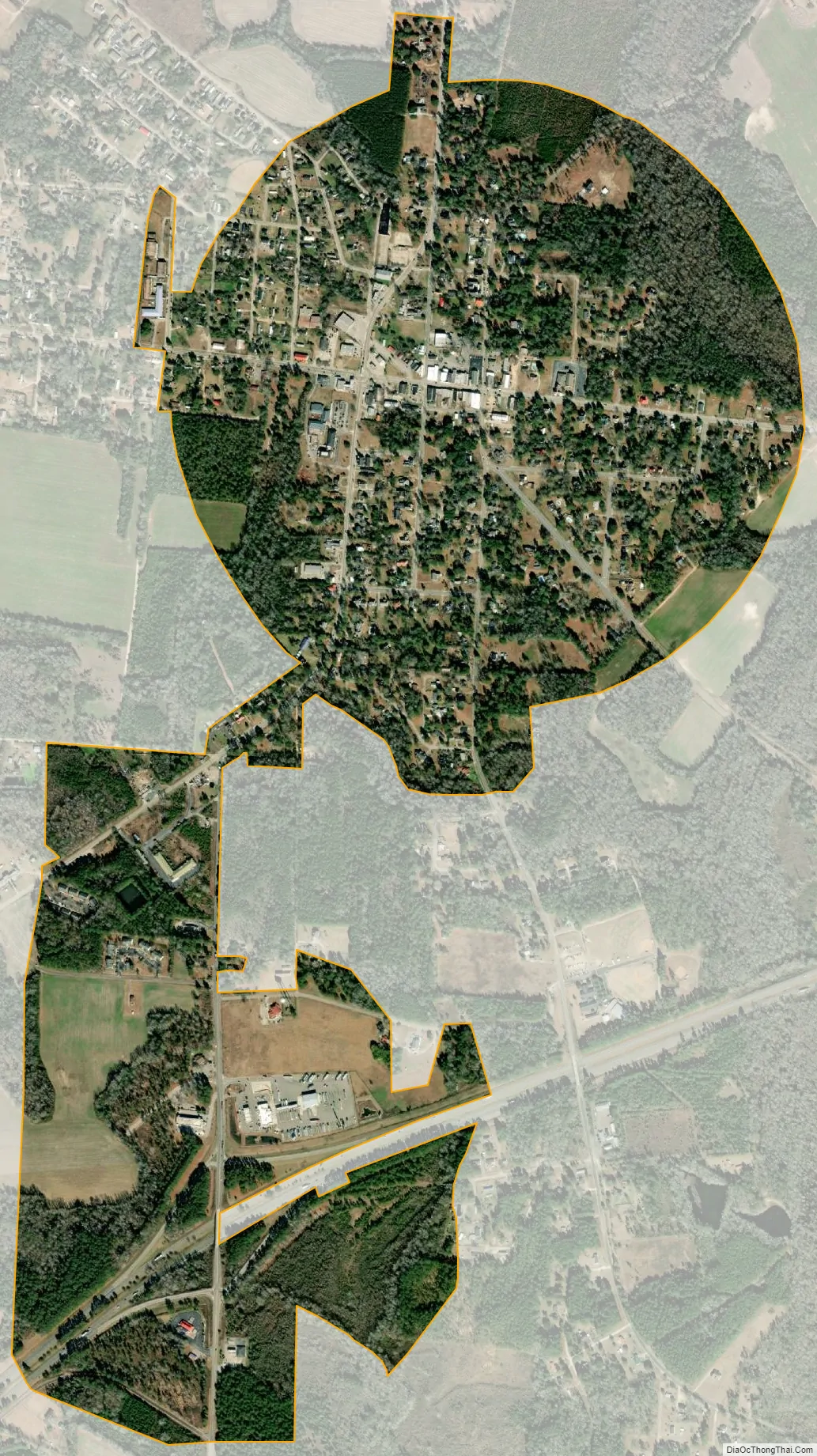
Summerton city Satellite Map
Geography
Summerton is in southwestern Clarendon County at 33°36′19″N 80°21′8″W / 33.60528°N 80.35222°W / 33.60528; -80.35222 (33.605145, -80.352159). Interstate 95 passes just south of the town, with access from Exit 108. I-95 leads northeast 57 miles (92 km) to Florence and southwest 120 miles (190 km) to Savannah, Georgia. U.S. Routes 15 and 301 join in the center of Summerton. US 301 leads northeast 10 miles (16 km) to Manning, the Clarendon County seat, and US 15 leads north 23 miles (37 km) to Sumter, while the combined highways lead southwest 11 miles (18 km) to Santee.
Summerton is located in the heart of Santee Cooper Country, 8 miles (13 km) from the shores of Lake Marion.
According to the United States Census Bureau, Summerton has a total area of 1.3 square miles (3.3 km), all land.
See also
Map of South Carolina State and its subdivision:- Abbeville
- Aiken
- Allendale
- Anderson
- Bamberg
- Barnwell
- Beaufort
- Berkeley
- Calhoun
- Charleston
- Cherokee
- Chester
- Chesterfield
- Clarendon
- Colleton
- Darlington
- Dillon
- Dorchester
- Edgefield
- Fairfield
- Florence
- Georgetown
- Greenville
- Greenwood
- Hampton
- Horry
- Jasper
- Kershaw
- Lancaster
- Laurens
- Lee
- Lexington
- Marion
- Marlboro
- McCormick
- Newberry
- Oconee
- Orangeburg
- Pickens
- Richland
- Saluda
- Spartanburg
- Sumter
- Union
- Williamsburg
- York
- Alabama
- Alaska
- Arizona
- Arkansas
- California
- Colorado
- Connecticut
- Delaware
- District of Columbia
- Florida
- Georgia
- Hawaii
- Idaho
- Illinois
- Indiana
- Iowa
- Kansas
- Kentucky
- Louisiana
- Maine
- Maryland
- Massachusetts
- Michigan
- Minnesota
- Mississippi
- Missouri
- Montana
- Nebraska
- Nevada
- New Hampshire
- New Jersey
- New Mexico
- New York
- North Carolina
- North Dakota
- Ohio
- Oklahoma
- Oregon
- Pennsylvania
- Rhode Island
- South Carolina
- South Dakota
- Tennessee
- Texas
- Utah
- Vermont
- Virginia
- Washington
- West Virginia
- Wisconsin
- Wyoming