Map of Milan city, Tennessee
Milan (/ˈmaɪ.lən/) is the second largest city after Humboldt in Gibson County, Tennessee and the largest entirely within the county. It is home to the Milan Army Ammunition Plant, the West Tennessee Agricultural Museum and several historical sites listed on the National Register of Historic Places (NRHP). The city was the first in Tennessee to ... Read more
Map of Milan city, Tennessee
Map of Midtown CDP
Midtown is a census-designated place (CDP) in Roane County, Tennessee, United States. Its population was 1,360 as of the 2010 census. Twice in the 1990s residents voted to incorporate as a town, and for a time the community maintained a municipal government, but the incorporation was challenged in court and eventually overturned after the state ... Read more
Map of Midtown CDP
Map of Middleton city, Tennessee
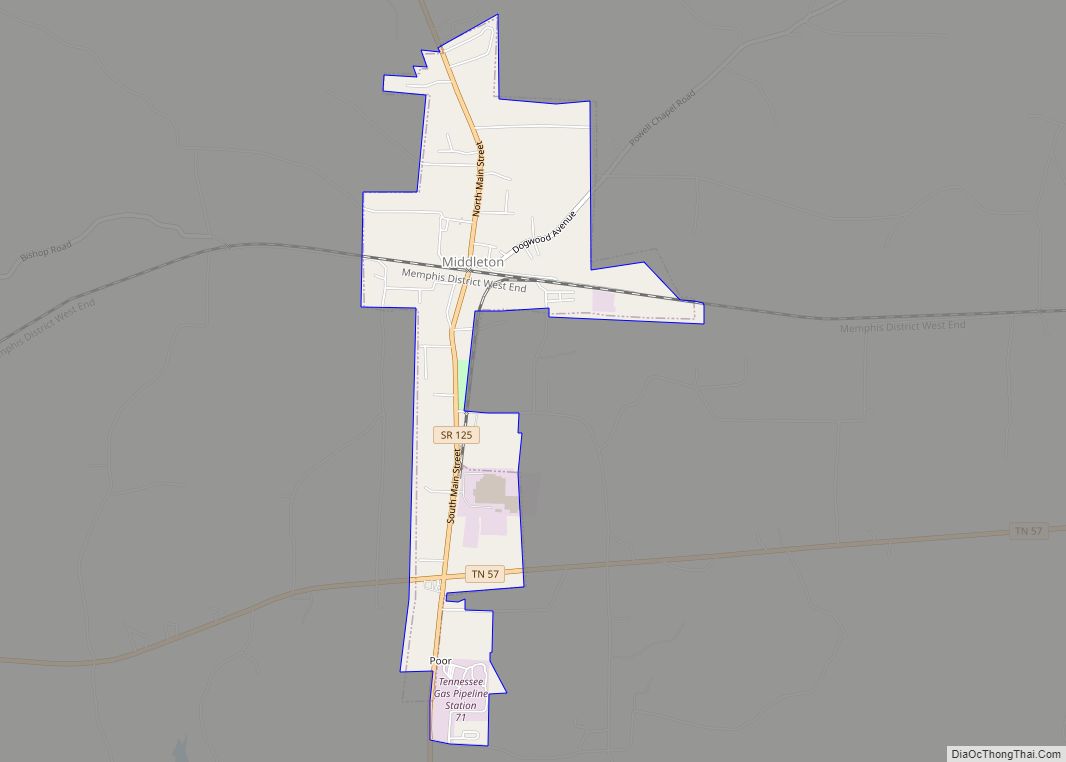
Middleton is a city in Hardeman County, Tennessee, United States. The population was 706 at the 2010 census, up from 602 at the 2000 census. It is located at the intersection of Tennessee State Route 125 and Tennessee State Route 57. Its slogan is the “Crossroads of the South”. Middleton city overview: Name: Middleton city ... Read more
Map of Middleton city, Tennessee
Map of Middle Valley CDP
Middle Valley is a census-designated place (CDP) in Hamilton County, Tennessee, United States. The population was 11,695 at the 2020 census. It is part of the Chattanooga, TN–GA Metropolitan Statistical Area. Middle Valley CDP overview: Name: Middle Valley CDP LSAD Code: 57 LSAD Description: CDP (suffix) State: Tennessee County: Hamilton County Elevation: 699 ft (213 m) Total ... Read more
Map of Middle Valley CDP
Map of Michie town
Michie is a town in McNairy County, Tennessee. The population was 647 at the 2000 census and 591 at the 2010 census. Michie town overview: Name: Michie town LSAD Code: 43 LSAD Description: town (suffix) State: Tennessee County: McNairy County Elevation: 607 ft (185 m) Total Area: 5.62 sq mi (14.56 km²) Land Area: 5.62 sq mi (14.56 km²) Water Area: 0.00 sq mi (0.00 km²) ... Read more
Map of Michie town
Map of Moscow city, Tennessee
Moscow (/ˈmɒskoʊ/ MOS-koh) is a city in Fayette County, Tennessee, United States. The population was 568 at the 2020 census, 556 at the 2010 census, and 422 at the 2000 census. The town was named after a Cherokee Chief [Mosgo], meaning “Town between 2 rivers.” North Fork and Wolf Rivers. The Army Corps of Engineers ... Read more
Map of Moscow city, Tennessee
Map of Morristown city, Tennessee
Morristown is a city in and the county seat of Hamblen County, Tennessee, United States. Morristown also extends into Jefferson County on the western and southern ends. The city’s population was recorded to be 30,431 at the 2020 United States census. It is the principal city of the Morristown Metropolitan Statistical Area, which encompasses all ... Read more
Map of Morristown city, Tennessee
Map of Morrison town, Tennessee
Morrison is a town in Warren County, Tennessee, United States. The population was 684 at the 2000 census and 694 at the 2010 census. Morrison town overview: Name: Morrison town LSAD Code: 43 LSAD Description: town (suffix) State: Tennessee County: Warren County Elevation: 1,073 ft (327 m) Total Area: 2.99 sq mi (7.74 km²) Land Area: 2.99 sq mi (7.74 km²) Water Area: ... Read more
Map of Morrison town, Tennessee
Map of Mooresburg CDP
Mooresburg is a census-designated place (CDP) and a unincorporated town in Hawkins County, Tennessee, United States. Its population was 941 as of the 2010 census. It is located along U.S. Route 11W between Rogersville and Bean Station. Mooresburg CDP overview: Name: Mooresburg CDP LSAD Code: 57 LSAD Description: CDP (suffix) State: Tennessee County: Hawkins County ... Read more
Map of Mooresburg CDP
Map of Monterey town, Tennessee
Monterey is a town in Putnam County, Tennessee, United States. The population was 2,850 at the 2010 census. It is part of the Cookeville, Tennessee Micropolitan Statistical Area. Monterey town overview: Name: Monterey town LSAD Code: 43 LSAD Description: town (suffix) State: Tennessee County: Putnam County Incorporated: 1893 Elevation: 1,880 ft (570 m) Total Area: 3.03 sq mi (7.85 km²) ... Read more
Map of Monterey town, Tennessee
Map of Monteagle town
Monteagle is a town in Franklin, Grundy, and Marion counties in the U.S. state of Tennessee, in the Cumberland Plateau region of the southeastern part of the state. The population was 1,238 at the 2000 census – 804 of the town’s 1,238 residents (64.9%) lived in Grundy County, 428 (34.6%) in Marion County, and 6 ... Read more
Map of Monteagle town
Map of Mitchellville city, Tennessee
Mitchellville is a city in Sumner County, Tennessee, United States. The population was 189 at the 2010 census, down from 207 in 2000. Mitchellville city overview: Name: Mitchellville city LSAD Code: 25 LSAD Description: city (suffix) State: Tennessee County: Sumner County Elevation: 778 ft (237 m) Total Area: 0.54 sq mi (1.39 km²) Land Area: 0.54 sq mi (1.39 km²) Water Area: 0.00 sq mi ... Read more
Map of Mitchellville city, Tennessee