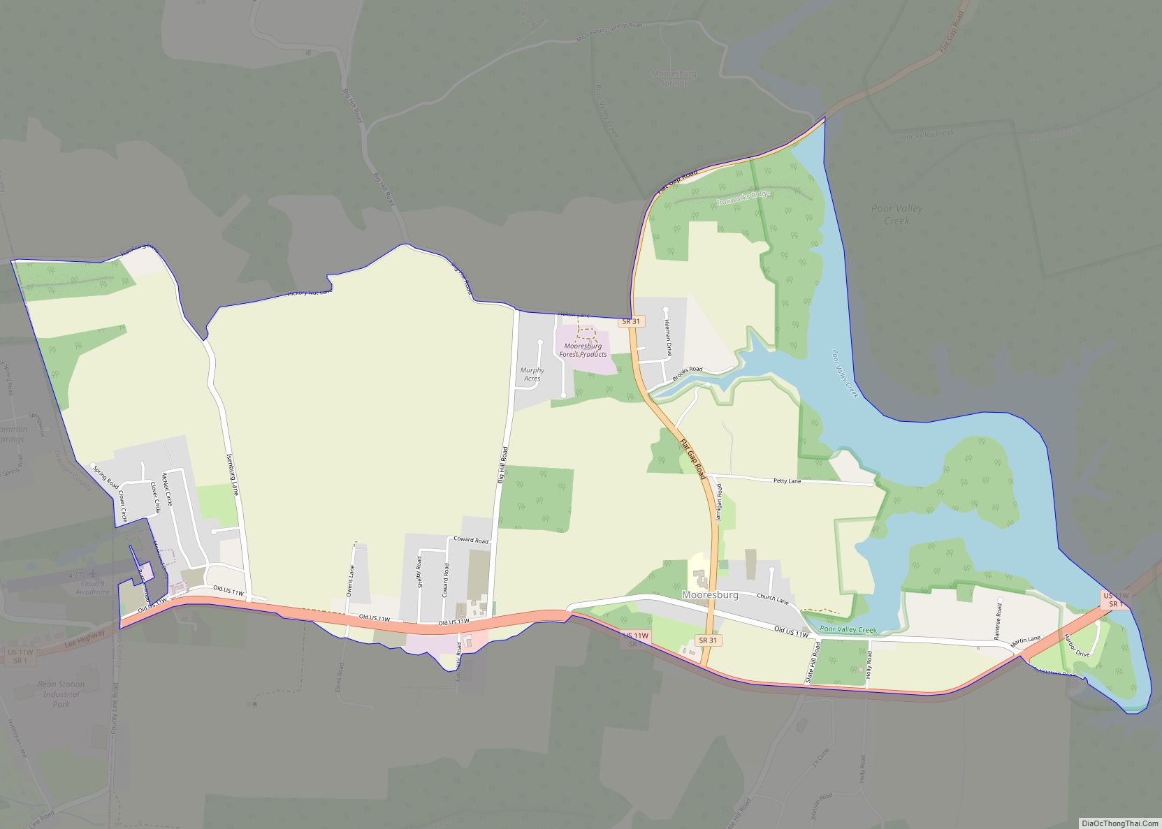
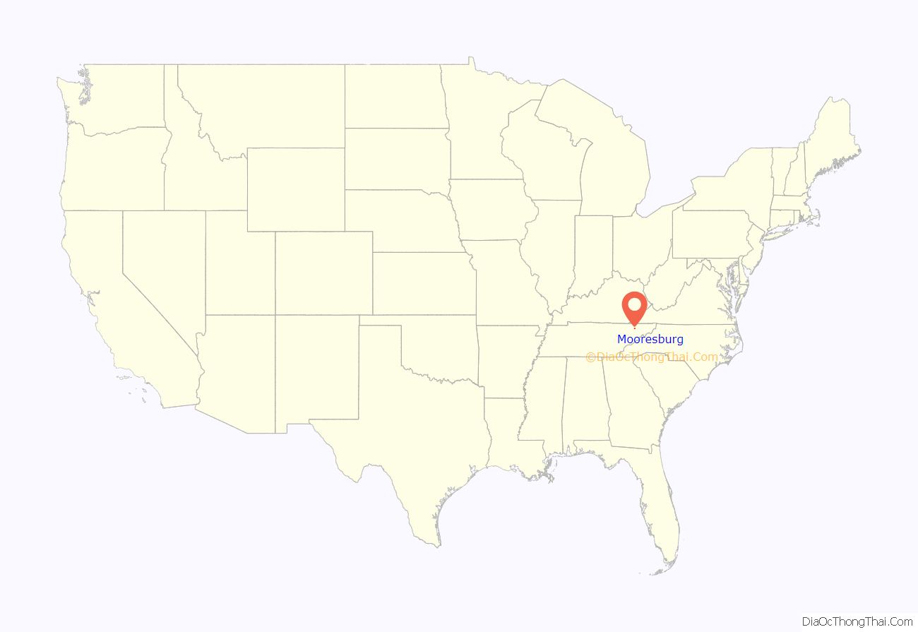
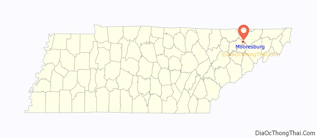
Mooresburg is a census-designated place (CDP) and a unincorporated town in Hawkins County, Tennessee, United States. Its population was 941 as of the 2010 census. It is located along U.S. Route 11W between Rogersville and Bean Station.
| Name: | Mooresburg CDP |
|---|---|
| LSAD Code: | 57 |
| LSAD Description: | CDP (suffix) |
| State: | Tennessee |
| County: | Hawkins County |
| Elevation: | 1,089 ft (332 m) |
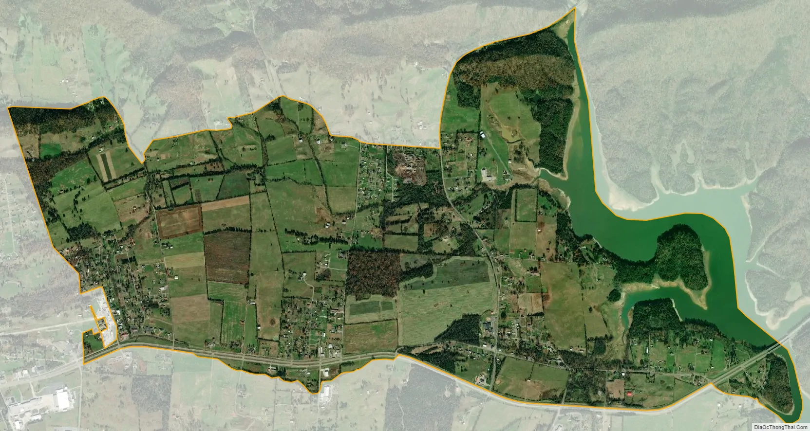
| Total Area: | 4.23 sq mi (10.95 km²) |
| Land Area: | 3.79 sq mi (9.81 km²) |
| Water Area: | 0.44 sq mi (1.15 km²) |
| Total Population: | 877 |
| Population Density: | 231.64/sq mi (89.44/km²) |
| ZIP code: | 37811 |
| Area code: | 423 |
| FIPS code: | 4749940 |
| GNISfeature ID: | 1294319 |
| Website: | mooresburg.net |
Online Interactive Map
Click on ![]() to view map in "full screen" mode.
to view map in "full screen" mode.
Mooresburg location map. Where is Mooresburg CDP?
History
Mooresburg was named for Major Hugh Moore, whose family settled in the area around 1800. Hugh had purchased over several thousands and laid out the setting for the town of Mooresburg.
Mooresburg has a post office with ZIP code 37811, which opened on March 4, 1814.
Following the impoundment of the Holston River by the Tennessee Valley Authority in the 1941, many property owners were relocated to make way for Cherokee Lake. In the 1970s, the community was impacted by the construction of U.S. Route 11W into a four-lane limited-access highway.
In 1977, 100 acres of Mooresburg was proposed to be inside the city limits of Bean Station during an incorporation vote. However voters in both Grainger and Hawkins counties rejected to incorporate.
From its first unveiling in the 1940s, over 1,900-2,200 acres of undisturbed forest north of the community was proposed and planned as state park known as Poor Valley State Park in order to promote economic development efforts in the upper East Tennessee region, the plan would stall in the 1970s.
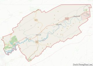
Mooresburg Road Map

Mooresburg city Satellite Map
See also
Map of Tennessee State and its subdivision:- Anderson
- Bedford
- Benton
- Bledsoe
- Blount
- Bradley
- Campbell
- Cannon
- Carroll
- Carter
- Cheatham
- Chester
- Claiborne
- Clay
- Cocke
- Coffee
- Crockett
- Cumberland
- Davidson
- Decatur
- DeKalb
- Dickson
- Dyer
- Fayette
- Fentress
- Franklin
- Gibson
- Giles
- Grainger
- Greene
- Grundy
- Hamblen
- Hamilton
- Hancock
- Hardeman
- Hardin
- Hawkins
- Haywood
- Henderson
- Henry
- Hickman
- Houston
- Humphreys
- Jackson
- Jefferson
- Johnson
- Knox
- Lake
- Lauderdale
- Lawrence
- Lewis
- Lincoln
- Loudon
- Macon
- Madison
- Marion
- Marshall
- Maury
- McMinn
- McNairy
- Meigs
- Monroe
- Montgomery
- Moore
- Morgan
- Obion
- Overton
- Perry
- Pickett
- Polk
- Putnam
- Rhea
- Roane
- Robertson
- Rutherford
- Scott
- Sequatchie
- Sevier
- Shelby
- Smith
- Stewart
- Sullivan
- Sumner
- Tipton
- Trousdale
- Unicoi
- Union
- Van Buren
- Warren
- Washington
- Wayne
- Weakley
- White
- Williamson
- Wilson
- Alabama
- Alaska
- Arizona
- Arkansas
- California
- Colorado
- Connecticut
- Delaware
- District of Columbia
- Florida
- Georgia
- Hawaii
- Idaho
- Illinois
- Indiana
- Iowa
- Kansas
- Kentucky
- Louisiana
- Maine
- Maryland
- Massachusetts
- Michigan
- Minnesota
- Mississippi
- Missouri
- Montana
- Nebraska
- Nevada
- New Hampshire
- New Jersey
- New Mexico
- New York
- North Carolina
- North Dakota
- Ohio
- Oklahoma
- Oregon
- Pennsylvania
- Rhode Island
- South Carolina
- South Dakota
- Tennessee
- Texas
- Utah
- Vermont
- Virginia
- Washington
- West Virginia
- Wisconsin
- Wyoming