Morristown is a city in and the county seat of Hamblen County, Tennessee, United States. Morristown also extends into Jefferson County on the western and southern ends. The city’s population was recorded to be 30,431 at the 2020 United States census. It is the principal city of the Morristown Metropolitan Statistical Area, which encompasses all of Grainger, Hamblen, and Jefferson counties. The Morristown metropolitan area is also part of the Knoxville-Morristown-Sevierville Combined Statistical Area.
Established in 1855, Morristown developed into a thriving community due to its strategic location at the intersection of two major stagecoach routes. It would experience turmoil from battles in its immediate area and its change of control under Union and Confederate forces during the Civil War. Following the war, Morristown furthered its industrial growth with companies expanding rail access, making it a prominent logistics hub into the 20th century. Since the mid-20th century, the city has established itself as the regional economic hub and metropolis of the Lakeway Area region following efforts to expand the industrial sector of the city’s economy into a market with over 100 companies, providing a workforce of an estimated 30,000 people. In 2019, the city was reported to have a daytime population of 118,600, including those commuting to the city from surrounding counties and communities.
| Name: | Morristown city |
|---|---|
| LSAD Code: | 25 |
| LSAD Description: | city (suffix) |
| State: | Tennessee |
| County: | Hamblen County, Jefferson County |
| Incorporated: | 1855 |
| Elevation: | 1,350 ft (397 m) |
| Land Area: | 27.67 sq mi (71.67 km²) |
| Water Area: | 0.04 sq mi (0.11 km²) |
| Population Density: | 1,099.66/sq mi (424.58/km²) |
| ZIP code: | 37813-37816 |
| Area code: | 423 |
| FIPS code: | 4750280 |
| GNISfeature ID: | 2404307 |
| Website: | www.mymorristown.com |
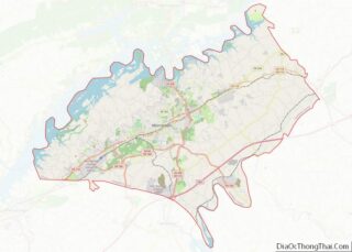
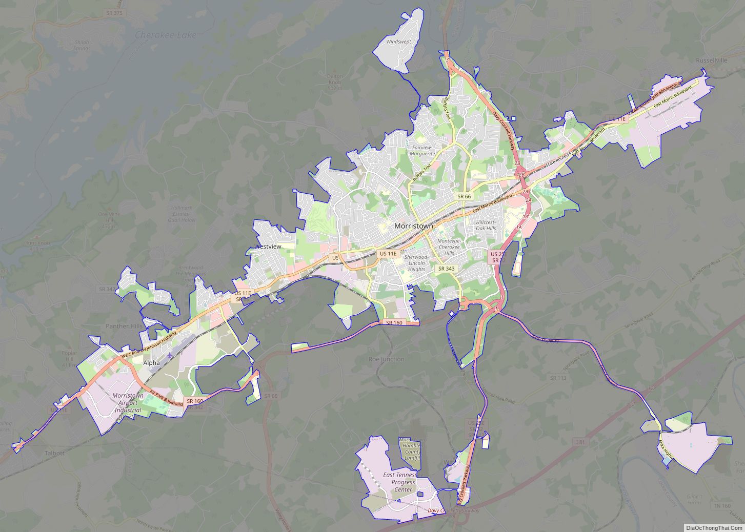
Online Interactive Map
Click on ![]() to view map in "full screen" mode.
to view map in "full screen" mode.
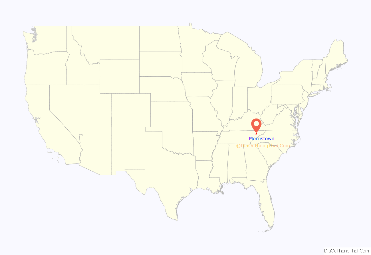
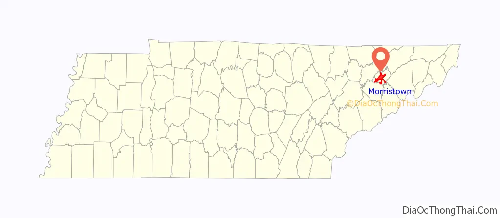
Morristown location map. Where is Morristown city?
History
Early years and establishment
The first European settler was Gideon Morris, a farmer who arrived from the Watauga Settlement, a settlement that was leased to settlers from the inhabiting Cherokee tribes. Morris, along with his siblings, petitioned to have the Watauga Settlement annexed in the State of North Carolina. After the success of the petition, the settlement was named Morristown, and land grants containing Hamblen and Jefferson counties were assigned to Morris and his brothers Daniel and Absalom in 1787 by North Carolina officials.
Pioneer and folk-hero David Crockett lived in present-day Morristown with his father, John Crockett, and established a tavern in 1794. The current-day Crockett Tavern Museum sits at the approximate location of the former tavern and is listed on the National Register of Historic Places.
In 1855, Morristown was incorporated into a city. During the period between 1855 and 1870, Morristown’s limits were divided along Main Street into Grainger and Jefferson counties. Many residents brought concerns regarding transportation and communication access in Morristown and neighboring communities such as Russellville and Panther Springs. After working with officials from the neighboring counties and the state government, Hamblen County was formed from portions of Grainger, Jefferson, Hawkins, and Greene counties.
Morristown was chosen as the county seat of Hamblen County shortly after its formation in 1870.
Civil War
As the Civil War approached, the town’s sympathies were divided between the Union and secessionist sides. In December 1863, some 25,000 Confederate Army soldiers under the command of General James Longstreet arrived at Bethesda Presbyterian Church, northeast of the town, to spend the winter, after the Battle of Bean’s Station. They remained there until February 1864 and used the Bethesda Church building as a hospital. Military engagements occurred near the church in both October and November 1864. On October 28, 1864, Union General Alvan C. Gillem attacked Confederate forces under General John C. Vaughn in the Battle of Morristown. They fought in and around the town with Gillem routing Vaughn’s Confederates in what became known as “Vaughn’s Stampede.” Vaughn was forced to retreat to Carter’s Station on the Watauga River in northeastern Tennessee. The battle resulted in about 335 total casualties. In the Battle of Bull’s Gap (“Gillem’s Stampede”) in November, Confederate forces under General John C. Breckinridge prevailed over Gillem’s troops, chasing the Union forces westward to a defensive position at Strawberry Plains near Knoxville. During one of these skirmishes, a cannonball penetrated one of the church walls, causing structural damage that was repaired by reinforcing the walls with large iron rods. The Union Army used the church as a hospital for soldiers wounded in these operations. Many soldiers from both sides are interred in the Bethesda Church cemetery. Eighty of the wartime burials are unidentified.
Later 18th century developments
Morristown saw a steady shift into an industrially-based economy in the early beginnings of the Industrial Revolution, around the early to late 19th century. The first industry in the area was the Shields Paper Mill, located on the Holston River, operating from 1825 to 1861. Other prominent early businesses included the Morristown Manufacturing Company and the later Knoxville-based J. F. Goodson Coffee Company in 1882.
From 1891 to 1928, Morristown was a terminal on the Knoxville and Bristol Railroad, commonly known by locals as the “Peavine Railroad.” The railroad was a branch line of the Southern Railway that ran from downtown Morristown on Main Street to Corryton, a bedroom community outside of Knoxville. The Peavine Railroad had first operated between Morristown and Bean Station, with plans to connect north to the Cumberland Gap, but instead extended west through Grainger County towards Knoxville.
Mid 20th century to present day
In 1944, the American Enka Company, a rayon fiber producer based out of Asheville, North Carolina, began construction on a 230-acre plant in the Lowland region of Morristown, beginning operations in 1947.
In March 1950, workers at the facility walked out on strike. Officials from American Enka Company then advertised for replacements of the striking workers. Tensions soon built when residents of Morristown and Lowland appeared at the gates of the Enka plant to apply for the listed jobs. Violence then followed, with shots fired, cars damaged, and one adjacent house destroyed by dynamite. The then-governor of Tennessee, Gordon Browning, dispatched National Guard troops to restore order at the Enka factory. By the end of the strike, and following acts of violence and vandalism, its story had become national front-page news, and on-site congressional hearings regarding labor relations and the labor movement were held in Morristown, led by Democratic Senator Hubert Humphrey.
In 1985, the American Enka facility was acquired by BASF and continued under their operations until 1992, when it was sold to Lenzing AG. The plant closed in 2005, after the company that operated the plant, Liberty Fibers, filed for bankruptcy. The plant site and its adjacent wastewater treatment plant have since been annexed into the Morristown city limits.
Beginning in 1959, following then presidential candidate John F. Kennedy’s exposure to poverty in Appalachia, Morristown officials began a joint effort with Tennessee economic development representatives to establish the city as a major industrial hub, and the program began with the construction and completion of the East Tennessee Valley Industrial District (ETVID) industrial park in eastern Morristown near Russellville.
By 1978, the 375 acres (1.52 km) ETVID industrial park had reached its estimated capacity, prompting city officials to develop a second industrial park. After acquiring a 670 acres (2.7 km) site in western Morristown near Morristown Regional Airport in the same year, city officials developed the site into the Morristown Airport Industrial District (MAID) industrial park in 1981. Five months after the park’s completion, two companies opened facilities at the MAID. As overall economic prosperity continued to make gains in Morristown, city officials and development representatives have cited Morristown’s industrial development initiative as an example of economic growth:
In the 1990s, the City of Morristown acquired over 900 acres (3.6 km) near Interstate 81 exit 8 for its third industrial park, the East Tennessee Progress Center (ETPC). Initial site development such as roadway and utility upgrades were completed in 2001. Several large manufacturers opened facilities at the site, but further infrastructure upgrades, grading work, and property acquisition was done on the site throughout the 2000s and 2010s.
Following the 2007-2012 global economic crisis, Morristown saw the loss of one of its largest employers, Berkline, which closed after filing for Chapter 11 bankruptcy in 2011. The furniture manufacturer, which relocated to the city in 1937, eliminated 602 jobs and ended an era of Morristown being known as a predominately furniture manufacturing hub:
In 2018, Belgian bus manufacturer Van Hool announced the construction of a 500,000 square feet (46,000 m) facility at the ETPC, one of the largest industrial development projects in the history of Morristown. The project expects to create an estimated 650 jobs, over $47 million in private investment and an influx of interest of further industrial development in the Morristown area.
The road now known as Main Street was first reported to have been built in 1792–1793 in an area between Grainger and Jefferson counties.
By 1833, Morristown had its first post office and store located along Main Street. Fourteen years later, railroad lines were built, stimulating further commercial growth until the beginning of the American Civil War. Morristown’s Main Street district, measuring approximately 1 square mile (2.6 km), arose from the intersection of two railroad lines, gradually turning Morristown into wholesale/retail hub after the end of the Civil War.
By the dawn of the 20th century, Morristown saw another era of growth. Several new buildings emerged in the downtown area, including the Henry Street Post Office, the First National Bank Building, currently the second tallest building in downtown Morristown, and the Princess Theater. The Princess Theater would be the first theater in Morristown and showcased touring musical acts, ministerial shows, pageants, films, and special Grand Ole Opry performances. Following the opening of theaters in neighboring shopping complexes, the Princess Theater would close in 1982. It was demolished in 1995.
Following the 1950s, the downtown district saw losses in revenue, as a suburban shopping mall on the city’s west side jeopardized businesses downtown. The city developed a plan to modernize Main Street by creating an “overhead sidewalk” as part of the nationwide push for urban renewal projects, enabling businesses to form on the second floor of existing buildings while serving as a canopy for passage below. Building owners spent nearly $2 million ($16 million today) upgrading their properties and linking them to ramps, while the government contributed over $5 million to build the elevated walkways. The underground channel for Turkey Creek was also enlarged and rerouted. In 1962, Turkey Creek, which bisects the street, flooded and damaged the downtown commercial district. The project was completed in 1967, becoming the first second-story sidewalk system in an American city. Over time, the Skymart has served as little more than a remnant of the idealism of 1960s urban renewal projects. Despite the aftermath of the project, the overhead sidewalks still stand in the downtown area.
Morristown is embarking on a resurrection of the Skymart, eyeing the structure as a key redevelopment tool of turning downtown into a social and commercial hub. It has been made a key element in a greenway master plan along Turkey Creek, with plans to connect downtown Morristown to Cherokee Park and Cherokee Lake. In an effort to renew public interest, city officials, the Crossroads Downtown Partnership, and the Morristown Area Chamber of Commerce hold events in the city’s downtown or the “Skymart District” throughout the year, mainly during the warmer months of May to September.
On March 22, 2016, Main Street along with the rest Morristown’s downtown district was officially listed on the National Register of Historic Places.
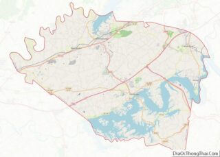
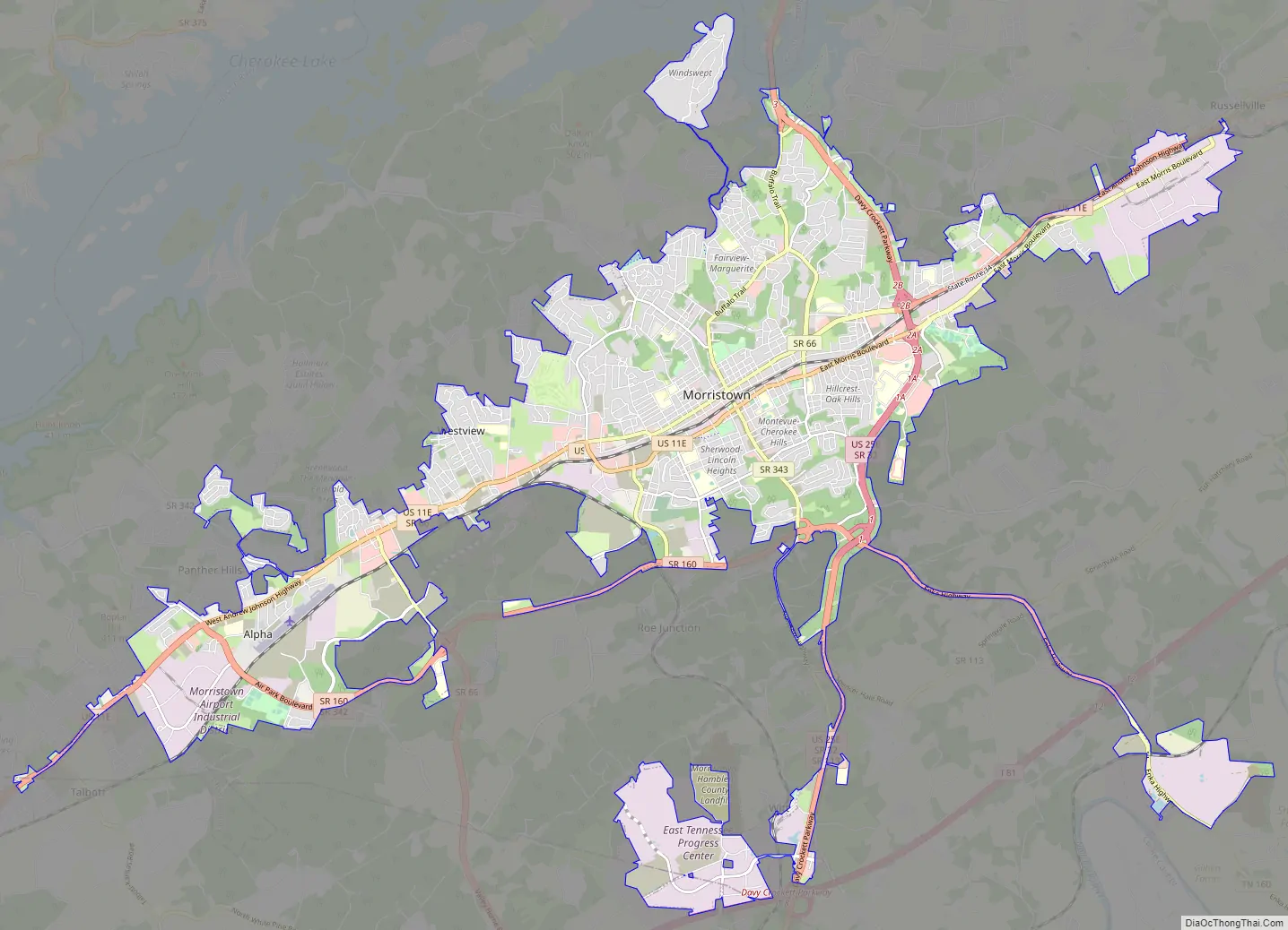
Morristown Road Map
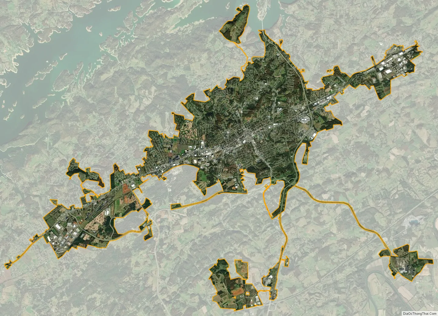
Morristown city Satellite Map
Geography
Morristown is situated in the upper region of East Tennessee in the Tennessee Valley between the Great Smoky Mountains to the south and Clinch Mountain to the north. It is considered part of a region known as the “Lakeway Area”, consisting of an land area surrounding Cherokee and Douglas lakes. It is positioned nearly at the midpoint between Knoxville and the Tri-Cities region.
According to the 2010 census, the city has a total area of 28.0 square miles (72.4 km), of which 0.04 square miles (0.1 km), or 0.19%, are water. Cherokee Lake, an artificial reservoir built by the Tennessee Valley Authority in the 1940s, is north of the city.
Neighborhoods
- Alpha
- Barton Springs
- Brockland Acres
- Corbin Estates
- Dogwood Hills
- Drinnon Heights
- East Ridge
- Edgewood
- Fairview-Marguerite
- Hidden Acres
- Hillcrest
- Liberty Heights
- Lowland (partial)
- Lyn-Mar Estates
- Lyn-Ross Manor
- Old Towne
- Ridgeview
- Talbott (partial)
- West Hills
- Wildwood
- Wilderness Shores
- Witt
Important suburbs
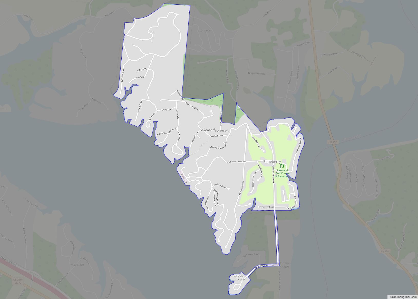
- Baneberry
- Bean Station
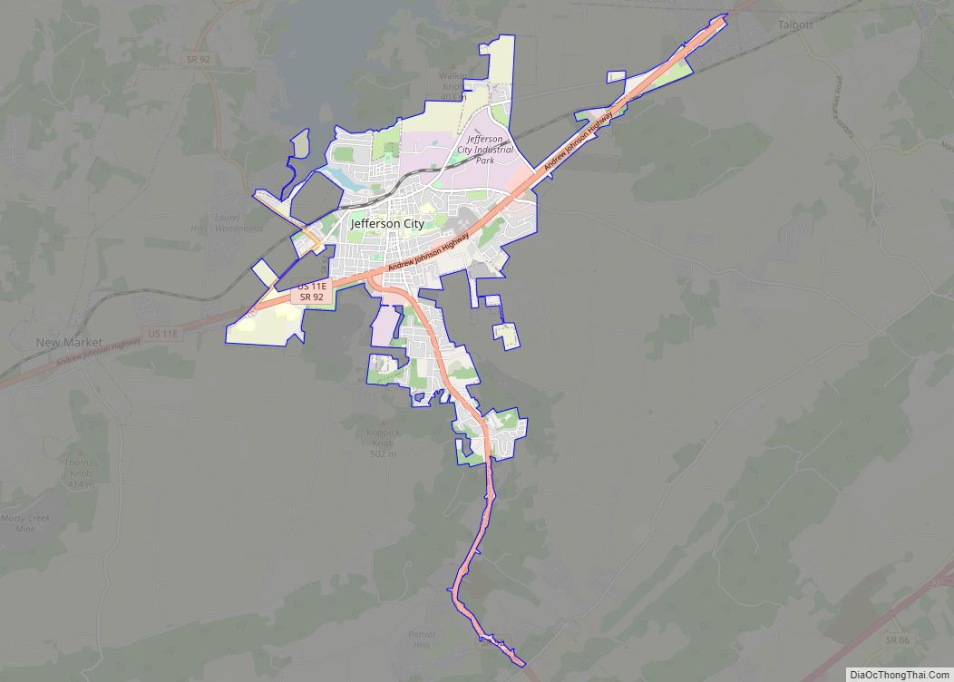
- Jefferson City
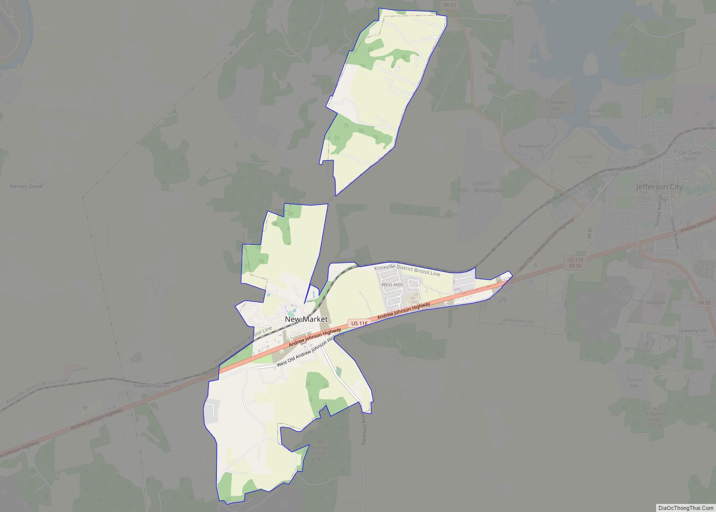
- Mooresburg
- Russellville
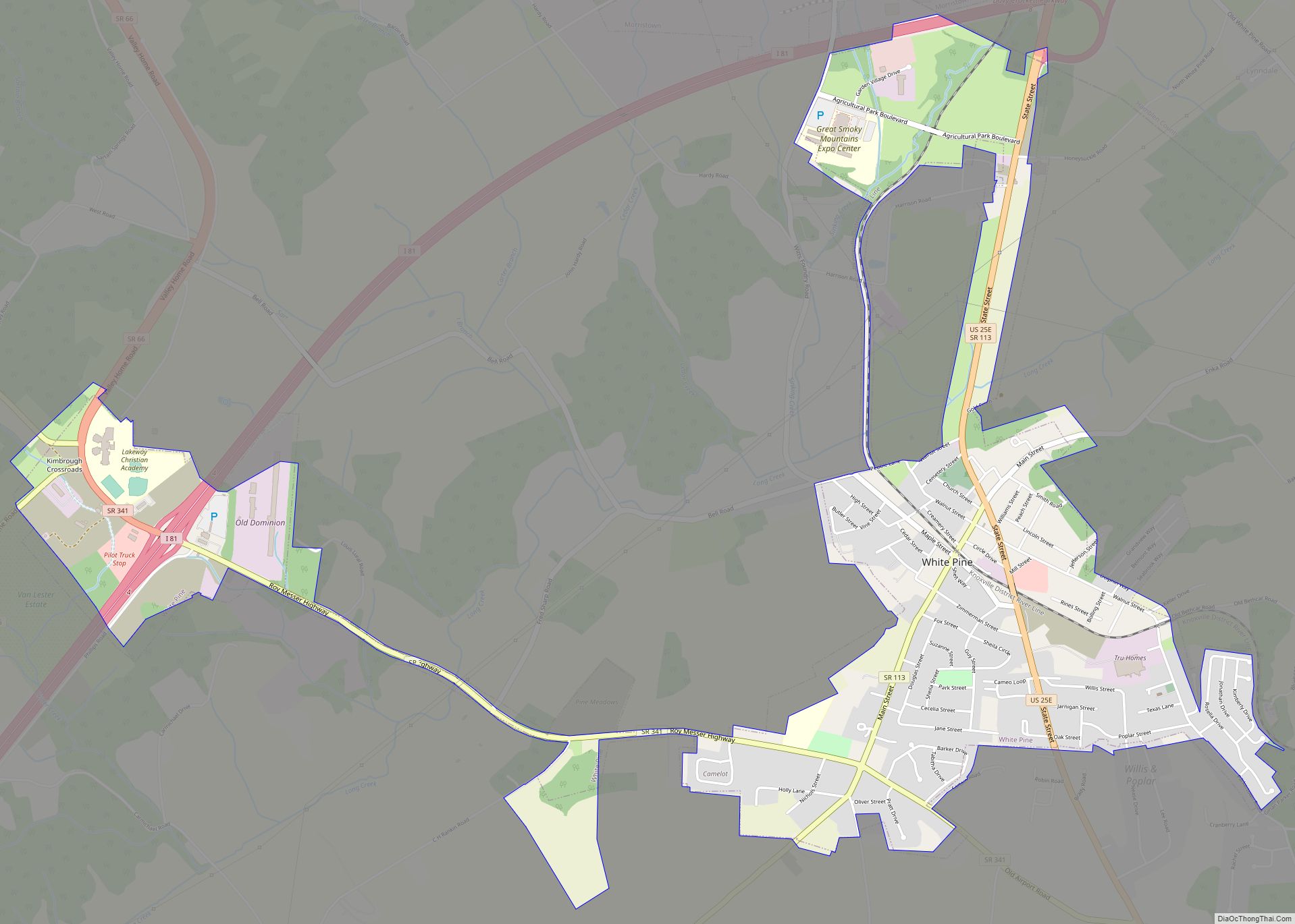
- White Pine
- Whitesburg
Climate
Morristown falls in the humid subtropical climate zone (Köppen climate classification Cfa), although it is not quite as hot as areas to the south and west of Tennessee due to the higher elevations. Summers are hot and humid, with July highs averaging 85 °F (29 °C), lows averaging 66 °F (19 °C), and an average of eight days per year with temperatures above 90 °F (32 °C). Winters are generally cool, with occasional small amounts of snow. January averages a high of around 45 °F (7 °C) and a low of around 28 °F (−2 °C), although low temperatures in the single digits and teens are not uncommon. The record high for Morristown, since 1994, is 103 °F (39 °C), while the record low is −2 °F (−19 °C). Annual precipitation averages around 44.3 in (1,125 mm), and average winter snowfall is 11.7 inches (30 cm). The average monthly relative humidity is around 70 percent.
See also
Map of Tennessee State and its subdivision:- Anderson
- Bedford
- Benton
- Bledsoe
- Blount
- Bradley
- Campbell
- Cannon
- Carroll
- Carter
- Cheatham
- Chester
- Claiborne
- Clay
- Cocke
- Coffee
- Crockett
- Cumberland
- Davidson
- Decatur
- DeKalb
- Dickson
- Dyer
- Fayette
- Fentress
- Franklin
- Gibson
- Giles
- Grainger
- Greene
- Grundy
- Hamblen
- Hamilton
- Hancock
- Hardeman
- Hardin
- Hawkins
- Haywood
- Henderson
- Henry
- Hickman
- Houston
- Humphreys
- Jackson
- Jefferson
- Johnson
- Knox
- Lake
- Lauderdale
- Lawrence
- Lewis
- Lincoln
- Loudon
- Macon
- Madison
- Marion
- Marshall
- Maury
- McMinn
- McNairy
- Meigs
- Monroe
- Montgomery
- Moore
- Morgan
- Obion
- Overton
- Perry
- Pickett
- Polk
- Putnam
- Rhea
- Roane
- Robertson
- Rutherford
- Scott
- Sequatchie
- Sevier
- Shelby
- Smith
- Stewart
- Sullivan
- Sumner
- Tipton
- Trousdale
- Unicoi
- Union
- Van Buren
- Warren
- Washington
- Wayne
- Weakley
- White
- Williamson
- Wilson
- Alabama
- Alaska
- Arizona
- Arkansas
- California
- Colorado
- Connecticut
- Delaware
- District of Columbia
- Florida
- Georgia
- Hawaii
- Idaho
- Illinois
- Indiana
- Iowa
- Kansas
- Kentucky
- Louisiana
- Maine
- Maryland
- Massachusetts
- Michigan
- Minnesota
- Mississippi
- Missouri
- Montana
- Nebraska
- Nevada
- New Hampshire
- New Jersey
- New Mexico
- New York
- North Carolina
- North Dakota
- Ohio
- Oklahoma
- Oregon
- Pennsylvania
- Rhode Island
- South Carolina
- South Dakota
- Tennessee
- Texas
- Utah
- Vermont
- Virginia
- Washington
- West Virginia
- Wisconsin
- Wyoming