Monterey is a town in Putnam County, Tennessee, United States. The population was 2,850 at the 2010 census. It is part of the Cookeville, Tennessee Micropolitan Statistical Area.
| Name: | Monterey town |
|---|---|
| LSAD Code: | 43 |
| LSAD Description: | town (suffix) |
| State: | Tennessee |
| County: | Putnam County |
| Incorporated: | 1893 |
| Elevation: | 1,880 ft (570 m) |
| Total Area: | 3.03 sq mi (7.85 km²) |
| Land Area: | 3.03 sq mi (7.84 km²) |
| Water Area: | 0.00 sq mi (0.01 km²) |
| Total Population: | 2,746 |
| Population Density: | 906.87/sq mi (350.18/km²) |
| ZIP code: | 38574 |
| Area code: | 931 |
| FIPS code: | 4749760 |
| GNISfeature ID: | 1294185 |
| Website: | www.exploremontereytn.com |
Online Interactive Map
Click on ![]() to view map in "full screen" mode.
to view map in "full screen" mode.
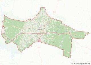
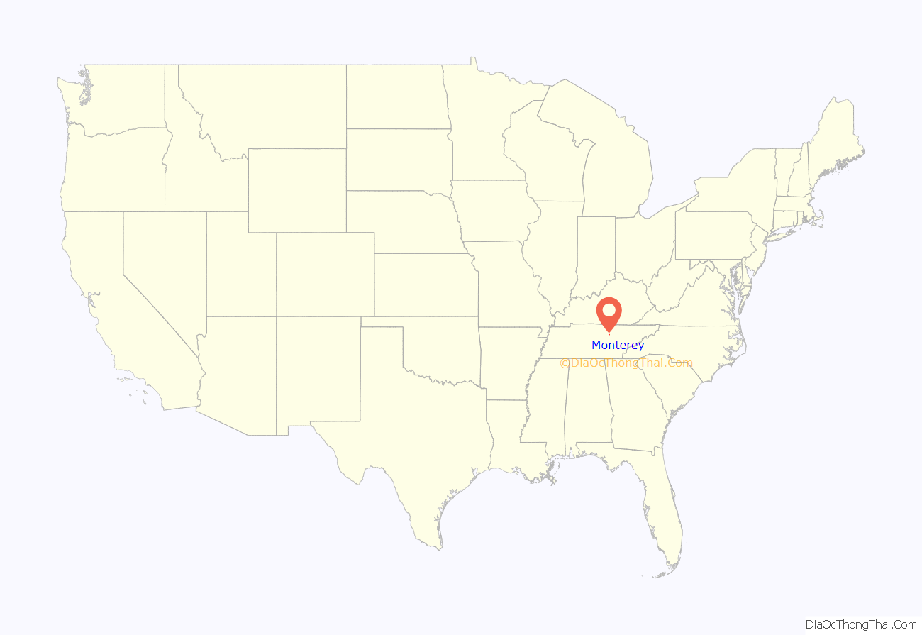
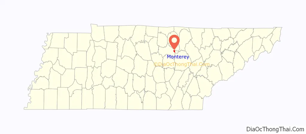
Monterey location map. Where is Monterey town?
History
Monterey is rooted in a settlement that developed around a landmark known as the “Standing Stone” in the late 18th and early 19th centuries. The stone was as a guidepost for travelers along Avery’s Trace, and is believed to have earlier served as a boundary marker between the territories of the Cherokee and Shawnee. By 1805, three families had settled permanently in area, and the Standing Stone Inn was established to cater to westward-bound migrants.
In the Spring of 1864, during the Civil War, 200 Union soldiers led by Colonel William B. Stokes entered the Monterey area with orders to root out Confederate guerrilla activity. On the morning of March 12 of that year, Stokes’ men entered the home of William Alexander Officer near Monterey and killed six of his guests, having accused them of being Confederate guerrillas. A Tennessee Historical Commission marker on Commercial Avenue in Monterey remembers the event.
With the progress of rail road coming up the mountain from Cookeville, the Cumberland Mountain Coal Company, a group of 10 investors, bought property that contained coal from T.J. Whittaker. The company was interested in building a new company town to provide housing and commercial ventures for the workers. They hired Maj. Robert John Moscrip to lay out the new town. A contest was held to name it. Moscrip won. The new town was to be named “Monterey”, which meant “King of the Mountains”, and coal was king. Moscrip continued engineering the railroad tracks out the Crawford Branch into Overton County. That line opened by 1894. He was also hired to open coal lands for the Alexander Crawford family up to 1904. A female contractor was hired, which was unheard of at the time, to build a portion of that line.
On the evening of April 3, 2020, the National Weather Service issued a flash flood warning for the watershed of the Calfkiller River due to the failure of the dam confining the town’s municipal lake.
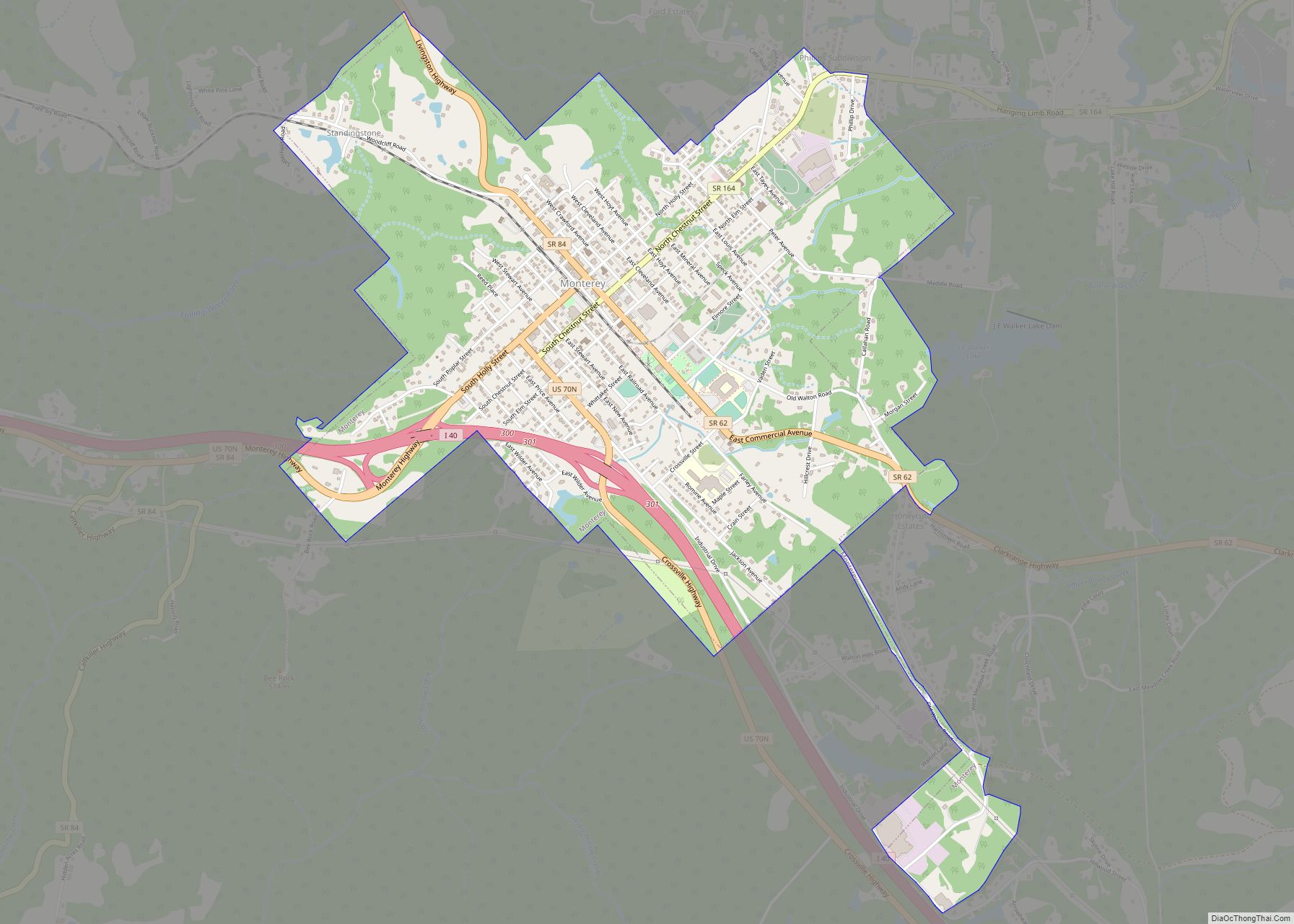
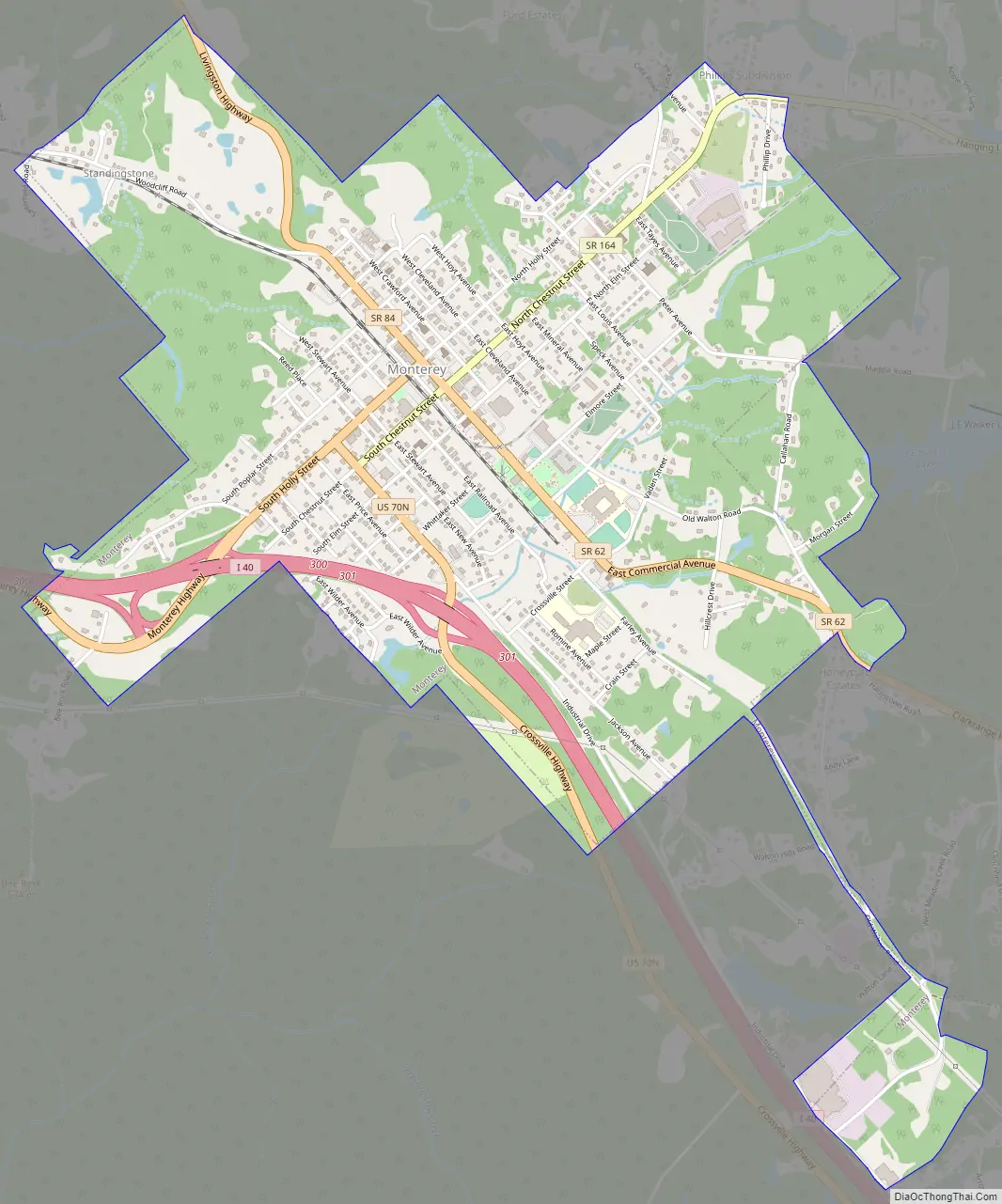
Monterey Road Map
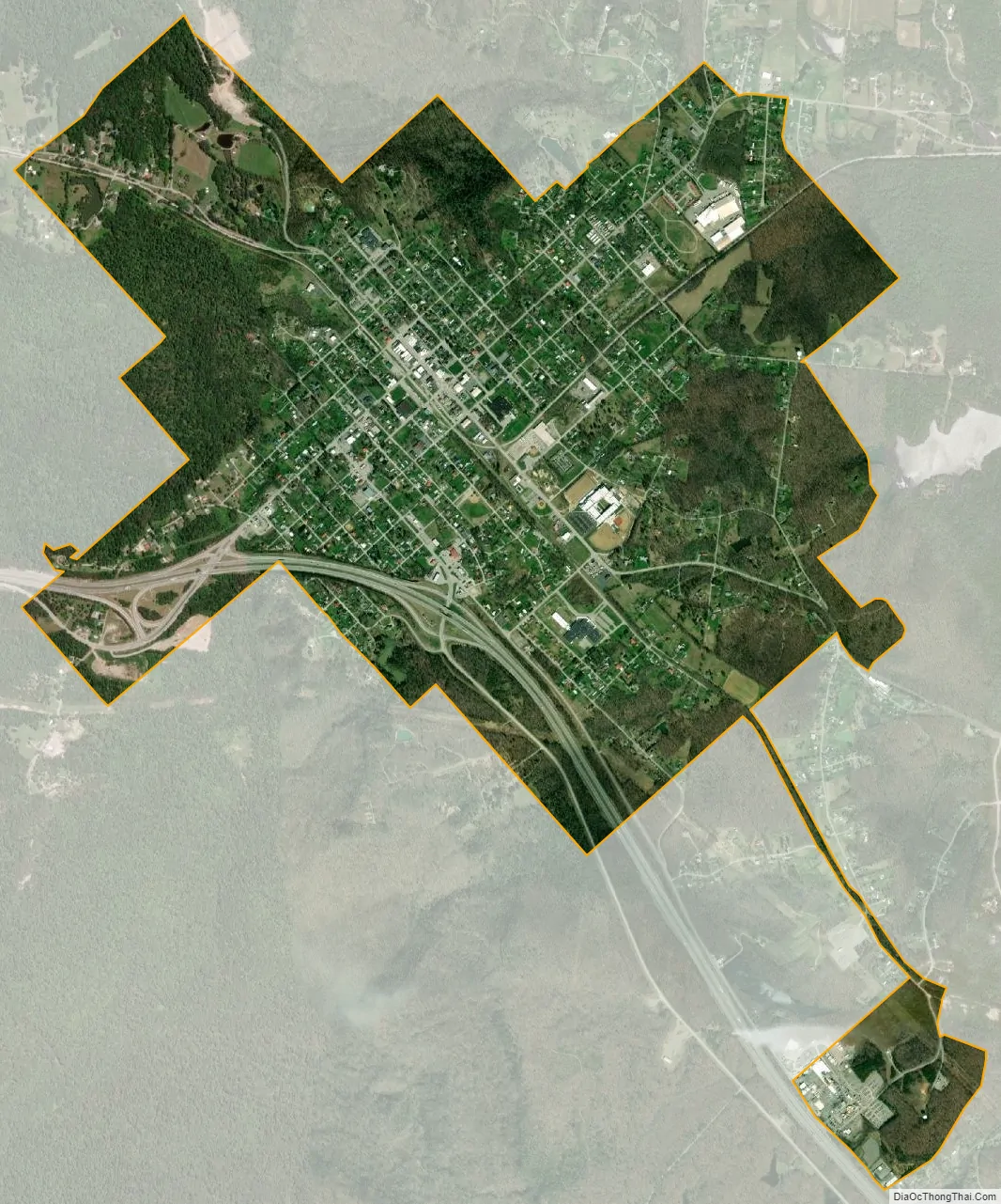
Monterey city Satellite Map
Geography
Monterey is located at 36°8′43″N 85°15′57″W / 36.14528°N 85.26583°W / 36.14528; -85.26583 (36.145291, -85.265757). The town is situated at the western edge of the Cumberland Plateau in eastern Putnam County, just north of the point where the counties of Putnam, White, and Cumberland meet, and just southwest of the point where Putnam, Overton, and Fentress meet. It is located approximately 90 miles (140 km) east of Nashville and the same distance west of Knoxville, and is connected with these two cities by Interstate 40 (exits 300 and 301) and U.S. Route 70. State Route 84 connects Monterey with Livingston to the northwest and Sparta to the southwest. State Route 62 connects Monterey with Clarkrange along U.S. Route 127 to the east, and State Route 164 connects the town with Crawford and the rural areas of the western Plateau to the north.
The sources of the Calfkiller River and the Falling Water River are both located just west of Monterey, on opposite sides of I-40.
According to the United States Census Bureau, the town has a total area of 3.0 square miles (7.8 km), of which, 3.0 square miles (7.8 km) is land and 0.34% is water.
See also
Map of Tennessee State and its subdivision:- Anderson
- Bedford
- Benton
- Bledsoe
- Blount
- Bradley
- Campbell
- Cannon
- Carroll
- Carter
- Cheatham
- Chester
- Claiborne
- Clay
- Cocke
- Coffee
- Crockett
- Cumberland
- Davidson
- Decatur
- DeKalb
- Dickson
- Dyer
- Fayette
- Fentress
- Franklin
- Gibson
- Giles
- Grainger
- Greene
- Grundy
- Hamblen
- Hamilton
- Hancock
- Hardeman
- Hardin
- Hawkins
- Haywood
- Henderson
- Henry
- Hickman
- Houston
- Humphreys
- Jackson
- Jefferson
- Johnson
- Knox
- Lake
- Lauderdale
- Lawrence
- Lewis
- Lincoln
- Loudon
- Macon
- Madison
- Marion
- Marshall
- Maury
- McMinn
- McNairy
- Meigs
- Monroe
- Montgomery
- Moore
- Morgan
- Obion
- Overton
- Perry
- Pickett
- Polk
- Putnam
- Rhea
- Roane
- Robertson
- Rutherford
- Scott
- Sequatchie
- Sevier
- Shelby
- Smith
- Stewart
- Sullivan
- Sumner
- Tipton
- Trousdale
- Unicoi
- Union
- Van Buren
- Warren
- Washington
- Wayne
- Weakley
- White
- Williamson
- Wilson
- Alabama
- Alaska
- Arizona
- Arkansas
- California
- Colorado
- Connecticut
- Delaware
- District of Columbia
- Florida
- Georgia
- Hawaii
- Idaho
- Illinois
- Indiana
- Iowa
- Kansas
- Kentucky
- Louisiana
- Maine
- Maryland
- Massachusetts
- Michigan
- Minnesota
- Mississippi
- Missouri
- Montana
- Nebraska
- Nevada
- New Hampshire
- New Jersey
- New Mexico
- New York
- North Carolina
- North Dakota
- Ohio
- Oklahoma
- Oregon
- Pennsylvania
- Rhode Island
- South Carolina
- South Dakota
- Tennessee
- Texas
- Utah
- Vermont
- Virginia
- Washington
- West Virginia
- Wisconsin
- Wyoming