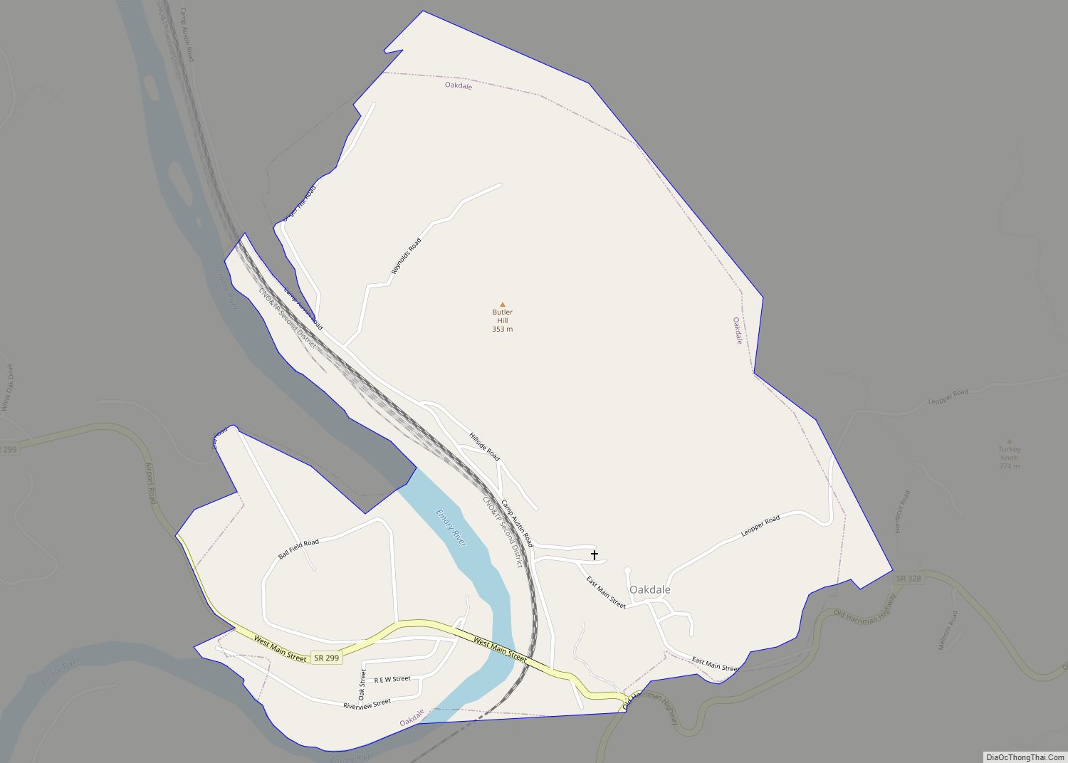
Oakdale is a town located along the Emory River in Morgan County, Tennessee, United States. The population was 203 at the 2020 census, a decrease from the 2010 census figure of 212. Oakdale town overview: Name: Oakdale town LSAD Code: 43 LSAD Description: town (suffix) State: Tennessee County: Morgan County Incorporated: 1887; 136 years ago (1887) Elevation: ... Read more
Tennessee Cities and Places
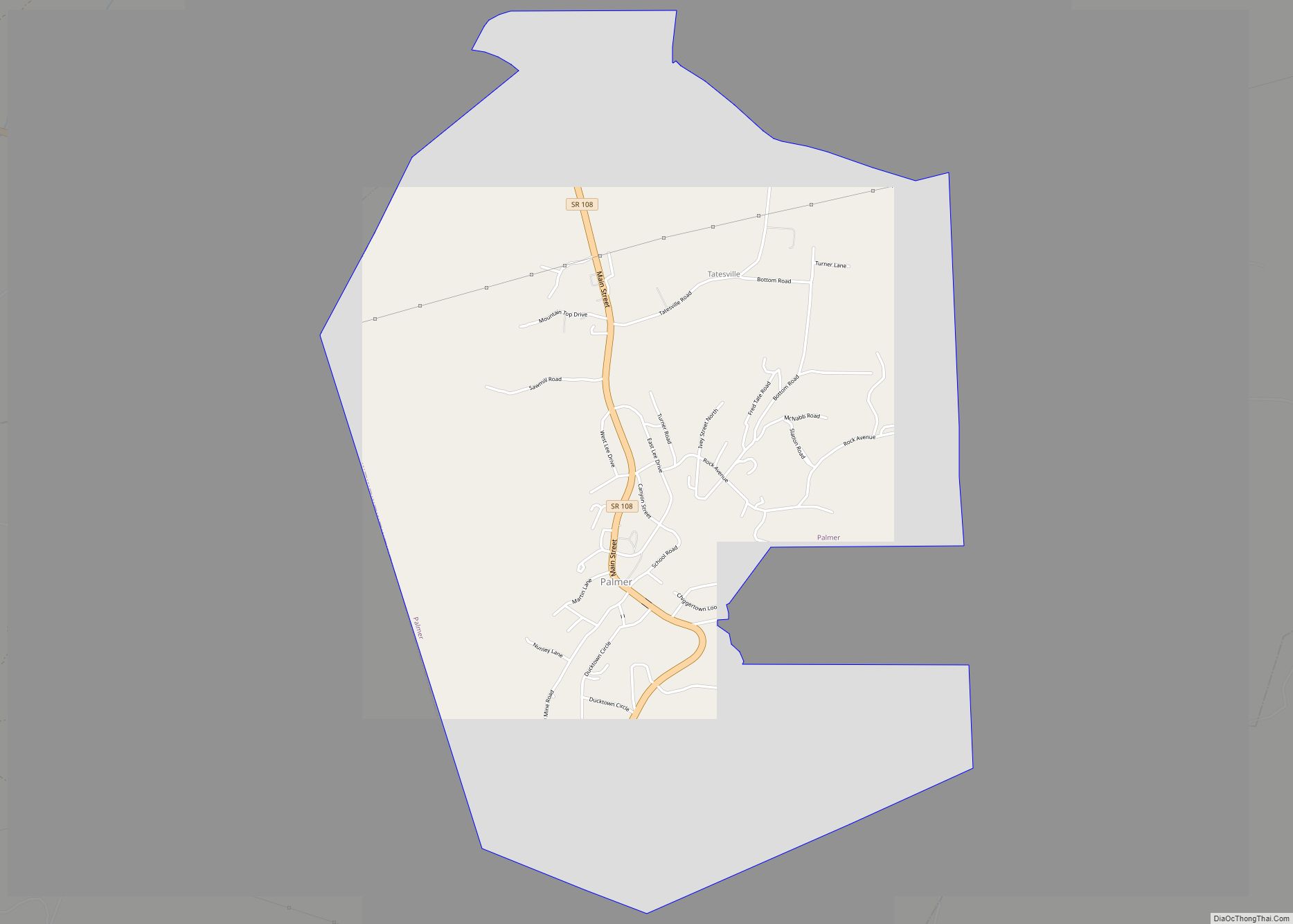
Palmer is a town in Grundy County, Tennessee, United States. The population was 672 at the 2010 census. Palmer town overview: Name: Palmer town LSAD Code: 43 LSAD Description: town (suffix) State: Tennessee County: Grundy County Incorporated: 1925 Elevation: 1,805 ft (550 m) Total Area: 4.93 sq mi (12.77 km²) Land Area: 4.93 sq mi (12.77 km²) Water Area: 0.00 sq mi (0.00 km²) Total Population: ... Read more
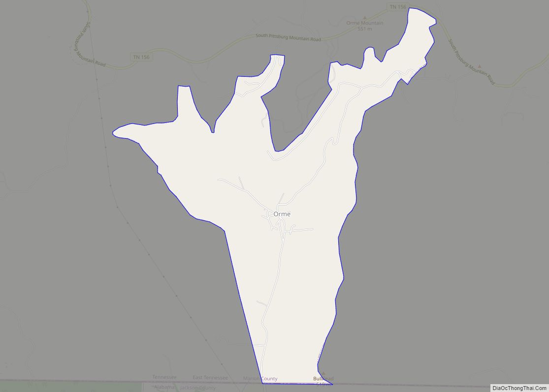
Orme is a town in Marion County, Tennessee, United States. The population was 87 as of the 2020 census, down from 126 as of the 2010 census. It is part of the Chattanooga, TN–GA Metropolitan Statistical Area. Orme town overview: Name: Orme town LSAD Code: 43 LSAD Description: town (suffix) State: Tennessee County: Marion County ... Read more
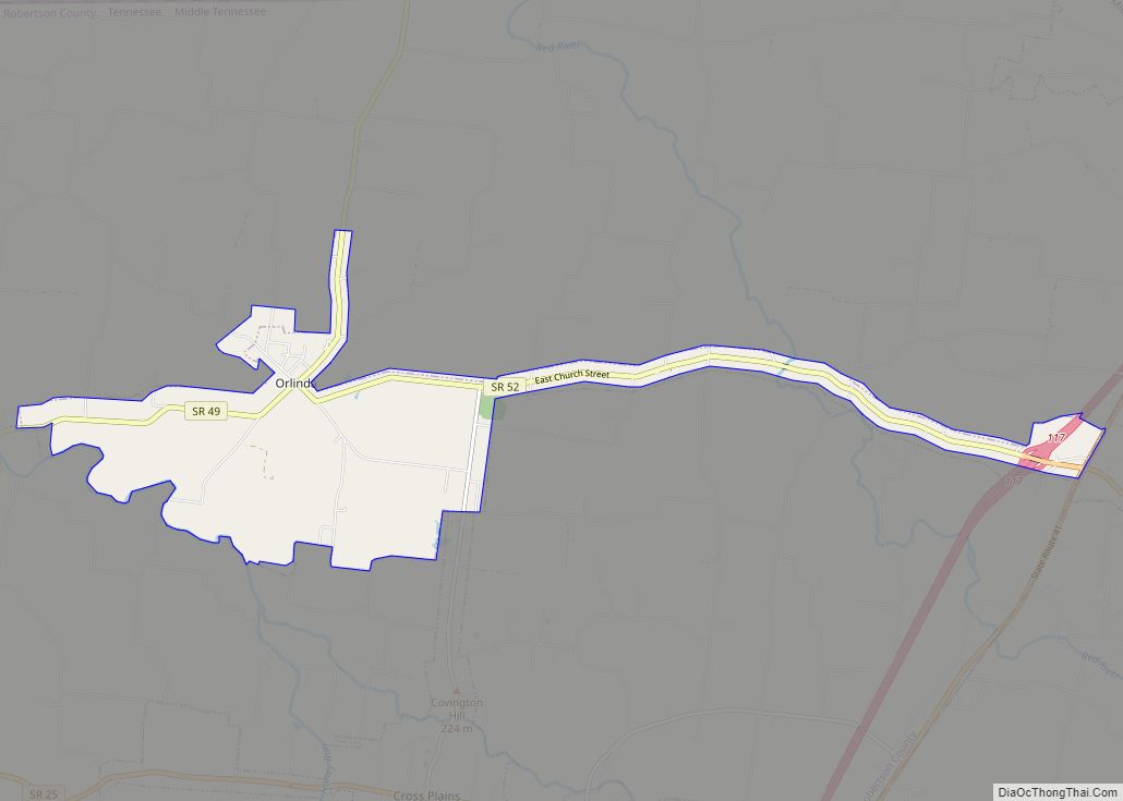
Orlinda is a city in Robertson County, Tennessee. The population was 947 at the 2020 census, the community became a city in February 2001. The City of Orlinda conducted its own, independent census 2007. The results of that census were submitted to the State of Tennessee, which conducted a review and random sample before officially ... Read more
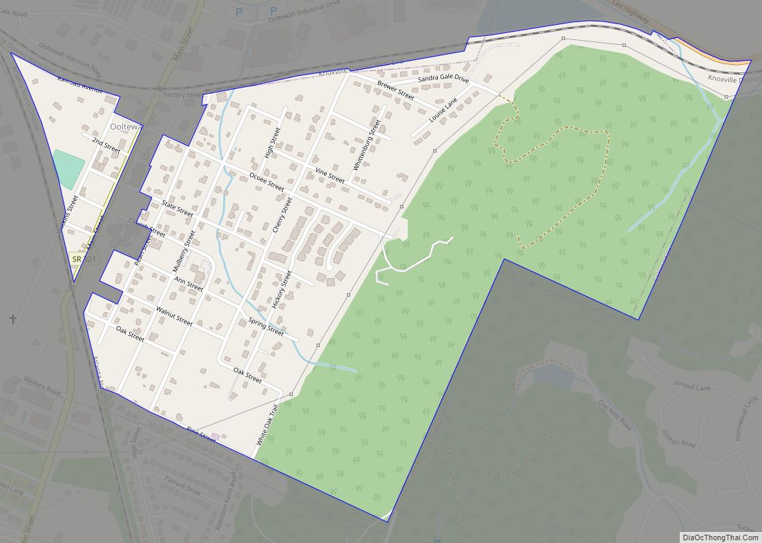
Ooltewah (/ˈuːtəwɑː/ (listen) OO-tuh-wah) is a census-designated place (CDP) in Hamilton County, Tennessee, United States. It is a community near Chattanooga. The population was 684 at the 2020 census. Ooltewah is an enclave in the city of Collegedale. Ooltewah CDP overview: Name: Ooltewah CDP LSAD Code: 57 LSAD Description: CDP (suffix) State: Tennessee County: Hamilton ... Read more
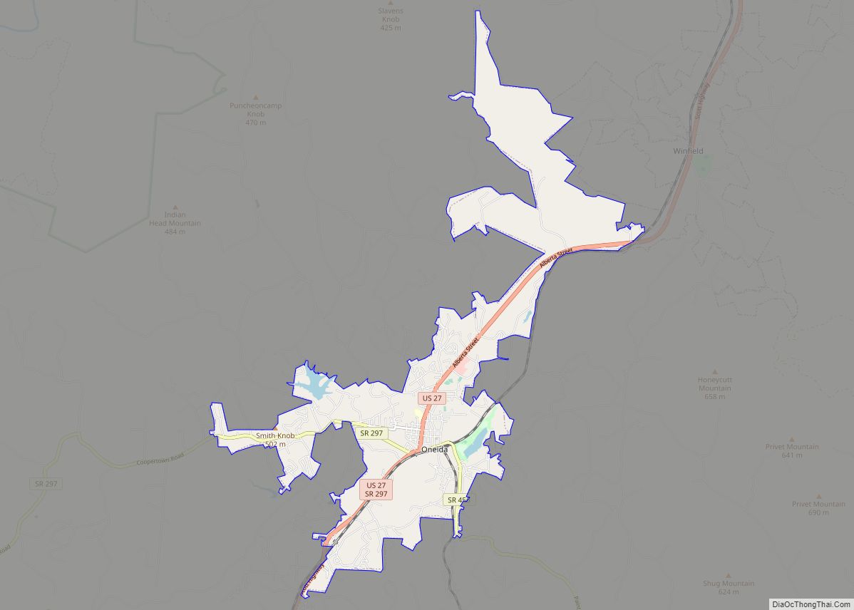
Oneida is a town in Scott County, Tennessee, United States. The population was 3,787 at the 2020 census. Oneida is known for its proximity to the Big South Fork National River and Recreation Area. The town is named for Oneida, New York, the home of several railroad executives who helped develop the town in the ... Read more
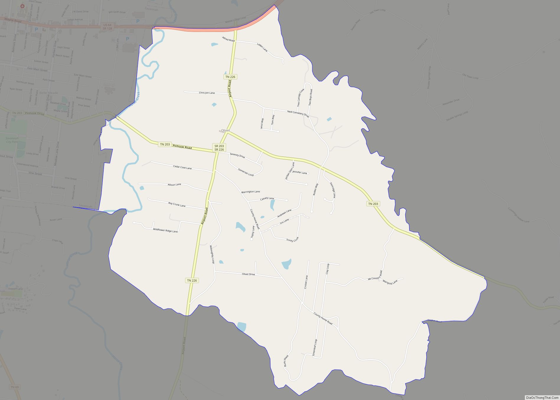
Olivet is an census-designated place and an unincorporated community in Hardin County, Tennessee, that is treated as a census-designated place (CDP) for the 2010 U.S. Census. Olivet is located immediately east of Savannah and is served by Tennessee State Route 203 and Tennessee State Route 226. The population of the CDP was 1,401 as of ... Read more
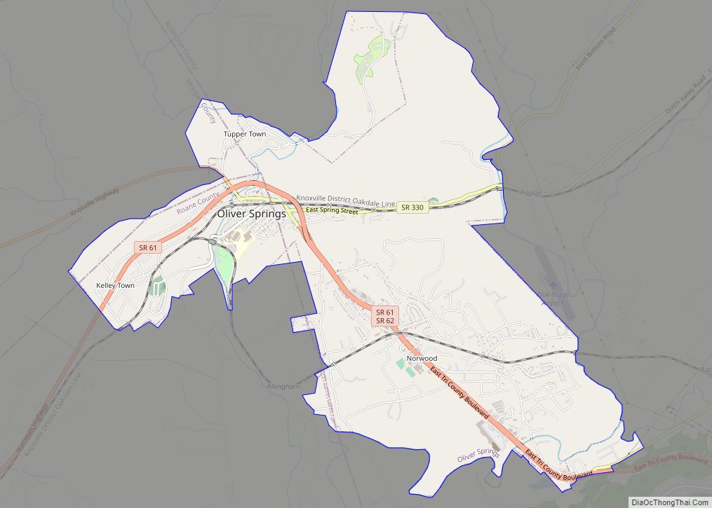
Oliver Springs is a town in Anderson, Morgan, and Roane counties in the U.S. state of Tennessee. Its population was 3,231 at the 2010 census. It is included in the Harriman, Tennessee Micropolitan Statistical Area, which consists of Roane County. Oliver Springs town overview: Name: Oliver Springs town LSAD Code: 43 LSAD Description: town (suffix) ... Read more
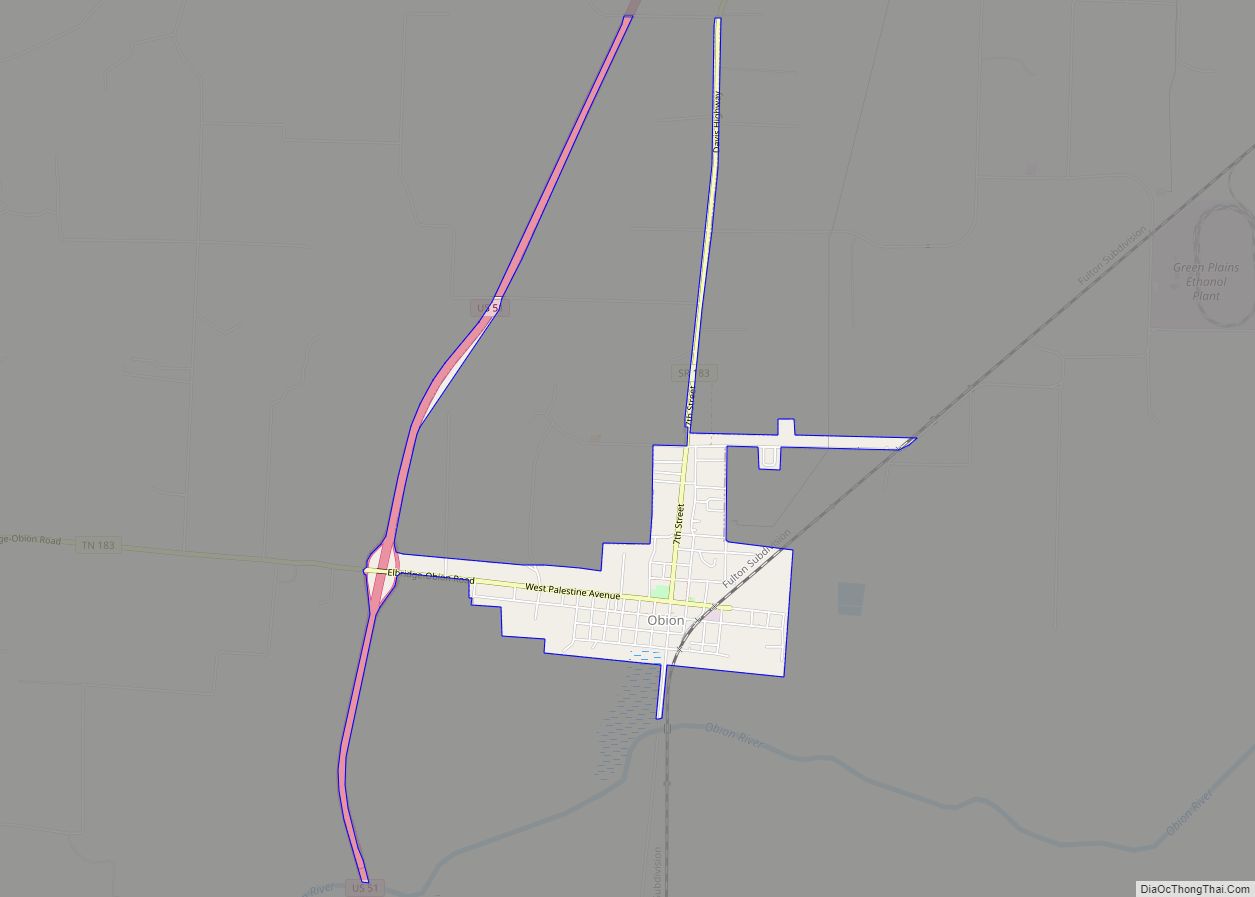
Obion is a town in Obion County, Tennessee, United States, along the Obion River. The population was 1,119 at the 2010 census. It is part of the Union City, TN–KY Micropolitan Statistical Area. Obion town overview: Name: Obion town LSAD Code: 43 LSAD Description: town (suffix) State: Tennessee County: Obion County Elevation: 289 ft (88 m) Total ... Read more
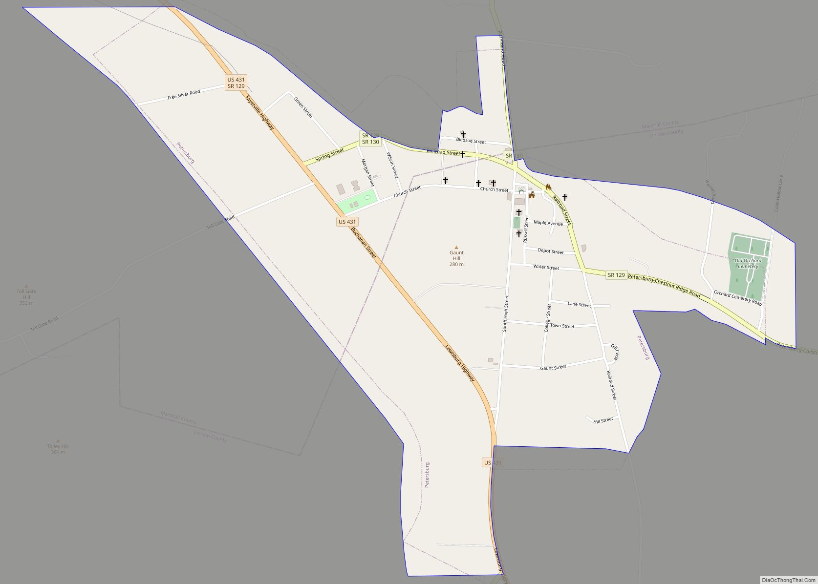
Petersburg is a town in Lincoln and Marshall counties in the U.S. state of Tennessee. The population was 580 at the 2000 census and 544 at the 2010 census. It used to be the location of Morgan school before consolidation Petersburg town overview: Name: Petersburg town LSAD Code: 43 LSAD Description: town (suffix) State: Tennessee ... Read more
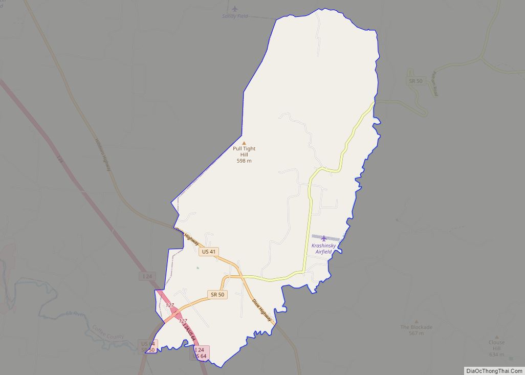
Pelham is an unincorporated community and census-designated place (CDP) in Grundy County, Tennessee, United States. As of the 2010 census, its population was 403. Pelham is located at the junction of U.S. Route 41, State Route 2, and State Route 50 near the base of the Cumberland Plateau, 5.35 miles (8.61 km) north-northwest of Monteagle. Pelham ... Read more
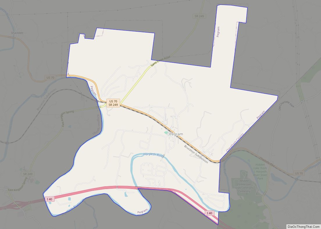
Pegram is a town completely in Cheatham County, Tennessee, United States. The population was 2,093 at the 2010 census and 2,072 people at the 2020 census. Pegram town overview: Name: Pegram town LSAD Code: 43 LSAD Description: town (suffix) State: Tennessee County: Cheatham County Elevation: 551 ft (168 m) Total Area: 7.25 sq mi (18.77 km²) Land Area: 7.25 sq mi (18.77 km²) ... Read more
