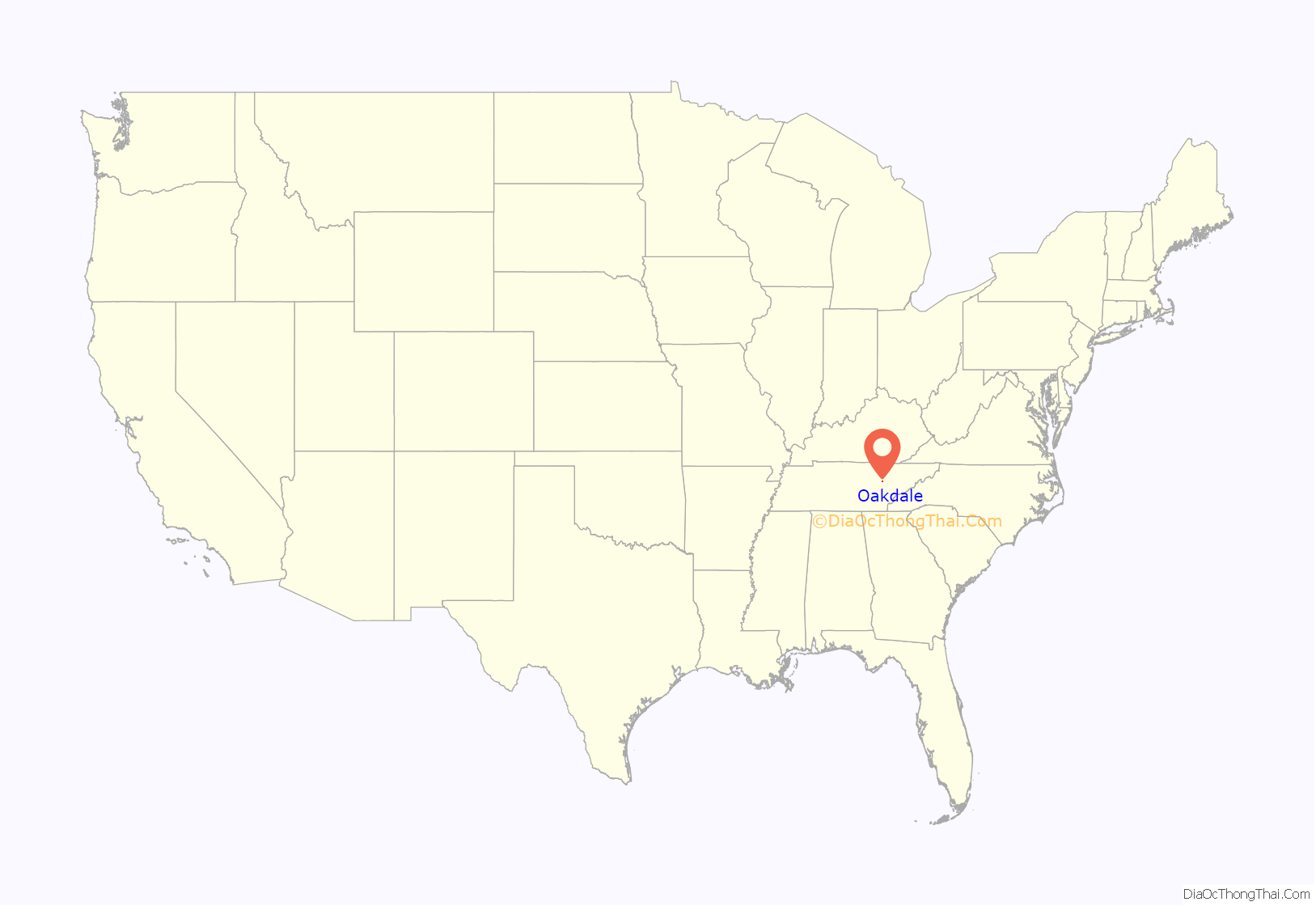
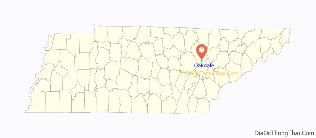
Oakdale is a town located along the Emory River in Morgan County, Tennessee, United States. The population was 203 at the 2020 census, a decrease from the 2010 census figure of 212.
| Name: | Oakdale town |
|---|---|
| LSAD Code: | 43 |
| LSAD Description: | town (suffix) |
| State: | Tennessee |
| County: | Morgan County |
| Incorporated: | 1887; 136 years ago (1887) |
| Elevation: | 991 ft (302 m) |
| Total Area: | 0.90 sq mi (2.32 km²) |
| Land Area: | 0.87 sq mi (2.26 km²) |
| Water Area: | 0.02 sq mi (0.06 km²) |
| Population Density: | 218.54/sq mi (84.41/km²) |
| ZIP code: | 37829 |
| Area code: | 423 |
| FIPS code: | 4754280 |
| GNISfeature ID: | 2407024 |
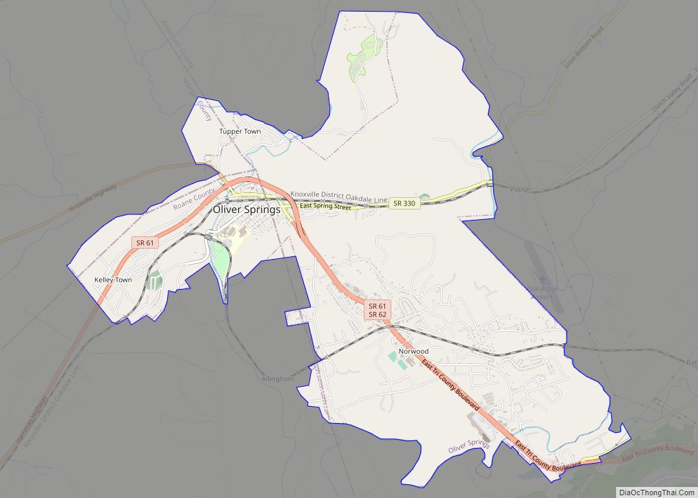
Online Interactive Map
Click on ![]() to view map in "full screen" mode.
to view map in "full screen" mode.
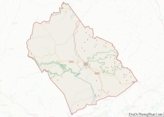
Oakdale location map. Where is Oakdale town?
History
Oakdale was originally known as “Honeycutt” after an early settler, Allen Honeycutt. In the 1880s, the Cincinnati Southern Railway, which connected Chattanooga and Cincinnati, was built through the area, intersecting the vast system of the East Tennessee, Virginia and Georgia Railroad (later the Southern Railway) at Emory Gap near Harriman. Allen Honeycutt donated land to the railroad for construction of a switching point. In 1892, the name of the town was changed to “Oakdale” after a nearby mining operation.
The stretch of the Cincinnati Southern from Oakdale to Somerset, Kentucky, involves steep grades that were too difficult for normal late-19th and early-20th century steam-powered locomotives, so a railyard was set up at Oakdale where trains were modified to allow them to make the trek north. By the early 1900s, Oakdale had developed into an important railroad town, with a bank, five general stores, a drugstore, a hardware store, three schools, two churches, six secret societies, and a newspaper. The railroad also erected a large hotel, the Babahatchie Inn (“Babahatchie” was the original name of the Emory River), in 1880, and rebuilt it after it burned in 1892. In 1905, this hotel was converted into one of the nation’s largest YMCA facilities, with 1,500 beds and its own library and clinic. Oakdale initially incorporated in 1887, though the state repealed its charter in 1895. It incorporated again in 1911.
The advent of diesel locomotives, which could handle the steep grades without modifications, eliminated the need for the Oakdale railyard, and the town declined in the mid-20th century. A park and tennis courts were built in the 1970s, and a new SR 299 bridge over the Emory was completed in 1999. The community is served by Oakdale School, operated by Morgan County Schools for students from pre-kindergarten through grade 12.
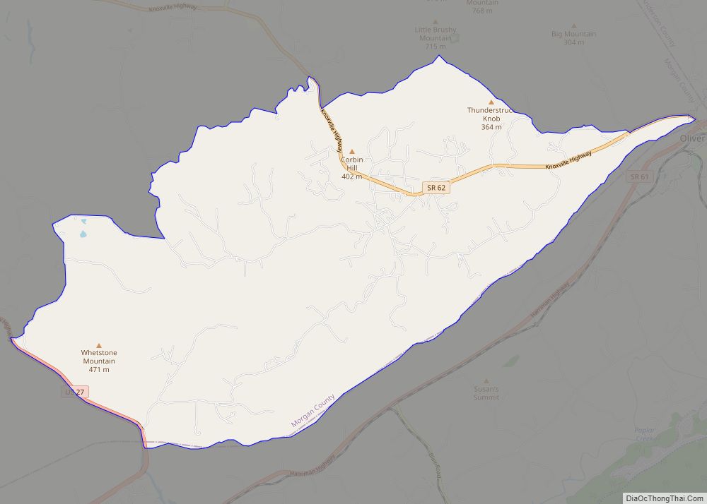
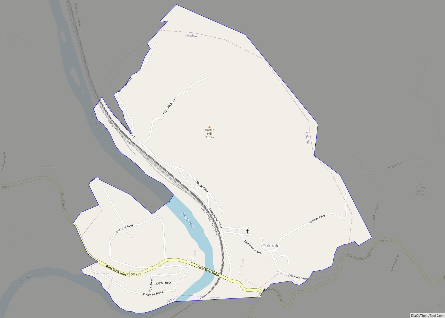
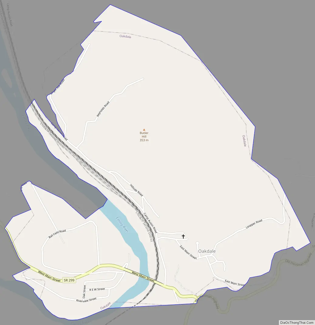
Oakdale Road Map
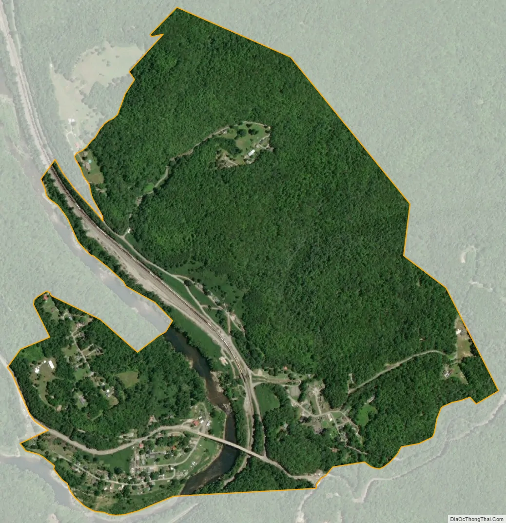
Oakdale city Satellite Map
Geography
Oakdale is situated along the Emory River (between river miles 17 and 19) in a relatively hilly area atop the Cumberland Plateau, and is concentrated primarily in two areas on each side of the river. The western side is located along a slope that descends from State Route 299 to a flood plain along the river, and includes the town hall, fire department, and several houses. The eastern side is located in a hollow just north of SR 299, and includes a post office, park, and several more houses.
State routes 299 and 328 intersect at the town’s southern boundary. SR 328, which lies east of the river, connects the town with Harriman to the south and US 27 to the north. SR 299, which crosses the river, connects the town to I-40 and the Westel area in Cumberland County to the southwest.
According to the United States Census Bureau, the town has a total area of 0.9 square miles (2.3 km), of which, 0.9 square miles (2.3 km) of it is land and 0.04 square miles (0.10 km) of it is water. The total area is 2.15% water.
See also
Map of Tennessee State and its subdivision:- Anderson
- Bedford
- Benton
- Bledsoe
- Blount
- Bradley
- Campbell
- Cannon
- Carroll
- Carter
- Cheatham
- Chester
- Claiborne
- Clay
- Cocke
- Coffee
- Crockett
- Cumberland
- Davidson
- Decatur
- DeKalb
- Dickson
- Dyer
- Fayette
- Fentress
- Franklin
- Gibson
- Giles
- Grainger
- Greene
- Grundy
- Hamblen
- Hamilton
- Hancock
- Hardeman
- Hardin
- Hawkins
- Haywood
- Henderson
- Henry
- Hickman
- Houston
- Humphreys
- Jackson
- Jefferson
- Johnson
- Knox
- Lake
- Lauderdale
- Lawrence
- Lewis
- Lincoln
- Loudon
- Macon
- Madison
- Marion
- Marshall
- Maury
- McMinn
- McNairy
- Meigs
- Monroe
- Montgomery
- Moore
- Morgan
- Obion
- Overton
- Perry
- Pickett
- Polk
- Putnam
- Rhea
- Roane
- Robertson
- Rutherford
- Scott
- Sequatchie
- Sevier
- Shelby
- Smith
- Stewart
- Sullivan
- Sumner
- Tipton
- Trousdale
- Unicoi
- Union
- Van Buren
- Warren
- Washington
- Wayne
- Weakley
- White
- Williamson
- Wilson
- Alabama
- Alaska
- Arizona
- Arkansas
- California
- Colorado
- Connecticut
- Delaware
- District of Columbia
- Florida
- Georgia
- Hawaii
- Idaho
- Illinois
- Indiana
- Iowa
- Kansas
- Kentucky
- Louisiana
- Maine
- Maryland
- Massachusetts
- Michigan
- Minnesota
- Mississippi
- Missouri
- Montana
- Nebraska
- Nevada
- New Hampshire
- New Jersey
- New Mexico
- New York
- North Carolina
- North Dakota
- Ohio
- Oklahoma
- Oregon
- Pennsylvania
- Rhode Island
- South Carolina
- South Dakota
- Tennessee
- Texas
- Utah
- Vermont
- Virginia
- Washington
- West Virginia
- Wisconsin
- Wyoming