Orlinda is a city in Robertson County, Tennessee. The population was 947 at the 2020 census, the community became a city in February 2001. The City of Orlinda conducted its own, independent census 2007. The results of that census were submitted to the State of Tennessee, which conducted a review and random sample before officially certifying the results, which it did in May 2007.
The Mayor of Orlinda is Tabitha Swearingen and the City Manager is Kevin Breeding.
| Name: | Orlinda city |
|---|---|
| LSAD Code: | 25 |
| LSAD Description: | city (suffix) |
| State: | Tennessee |
| County: | Robertson County |
| Elevation: | 719 ft (219 m) |
| Total Area: | 6.59 sq mi (17.06 km²) |
| Land Area: | 6.59 sq mi (17.06 km²) |
| Water Area: | 0.00 sq mi (0.00 km²) |
| Total Population: | 947 |
| Population Density: | 143.72/sq mi (55.49/km²) |
| ZIP code: | 37141 |
| Area code: | 615 |
| FIPS code: | 4756020 |
| GNISfeature ID: | 1296487 |
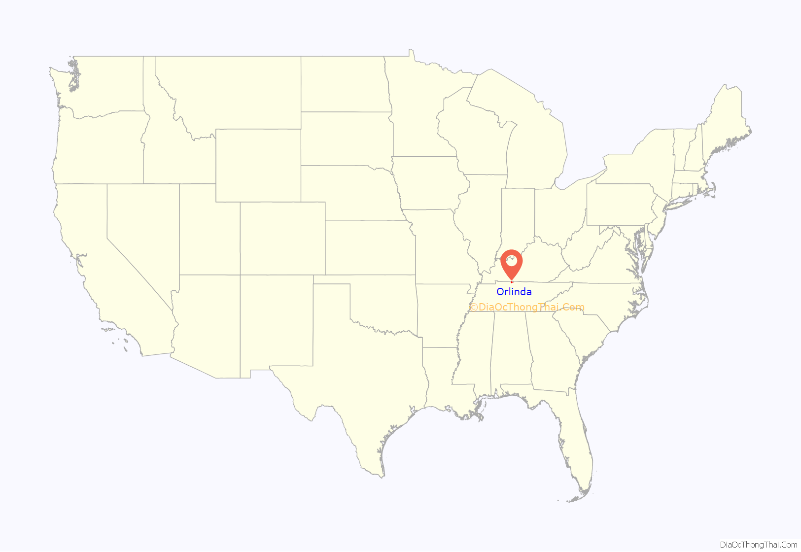
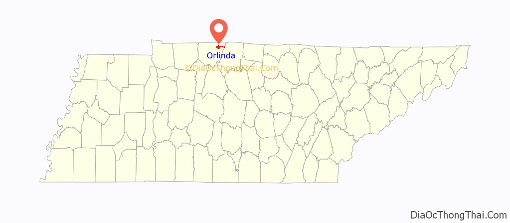
Online Interactive Map
Click on ![]() to view map in "full screen" mode.
to view map in "full screen" mode.
Orlinda location map. Where is Orlinda city?
History
Orlinda was incorporated in 1965, and was originally called Crockers Crossroads until they had to change the name due to the area’s proximity to Tuckers Crossroads, Tennessee. The name Centervile was proposed, but denied as a Centerville, Tennessee already existed, so Orlinda was proposed as no other community in the United States used that name.
In October 2000, the Orlinda City Hall and Post Office opened at its present-day location on Highway 52. Prior to this, the City Hall was located at the former Bank of Orlinda building, which was built in 1909, and is now the city’s public library, which opened in 2003.
On the morning of March 15, 2019, a bridge collapsed along Highland Road that went over the Red River, no one was injured during the collapse. On October 22, 2019, Orlinda City Manager Kevin Breeding’s house caught on fire while he was asleep, Breeding was not harmed in the fire.
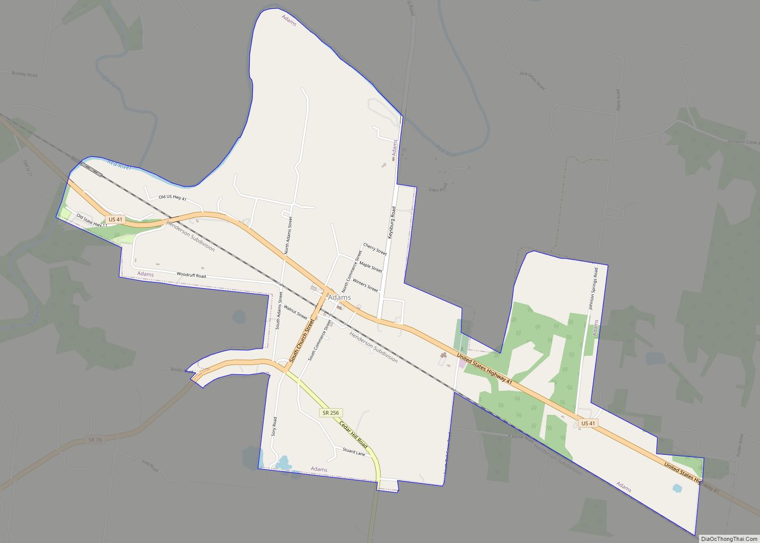
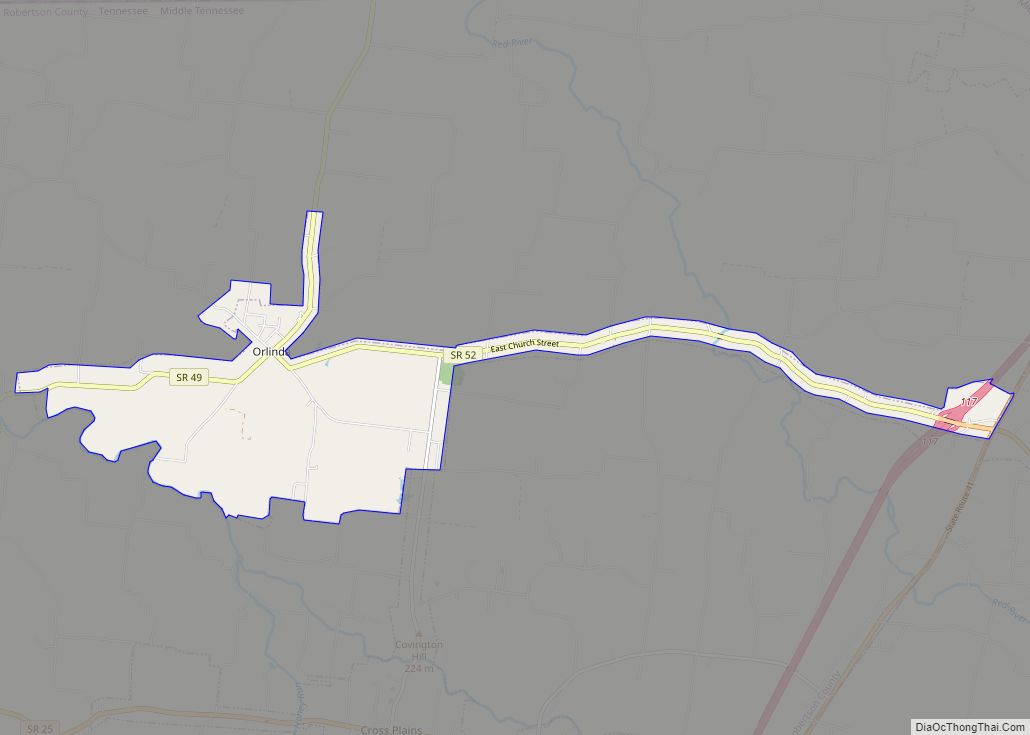
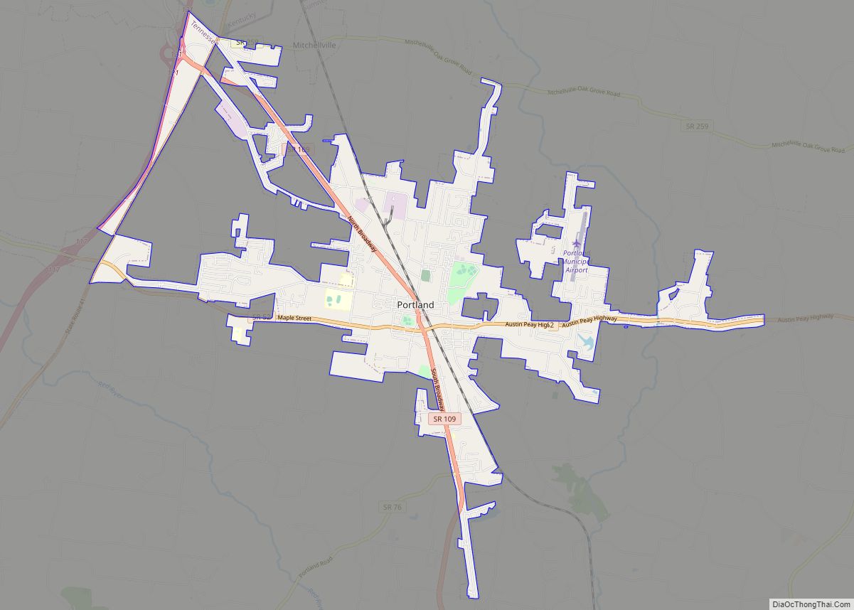
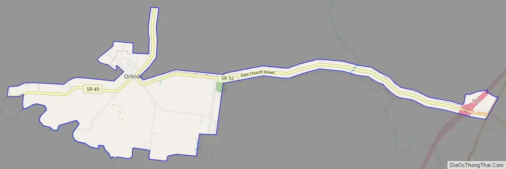
Orlinda Road Map
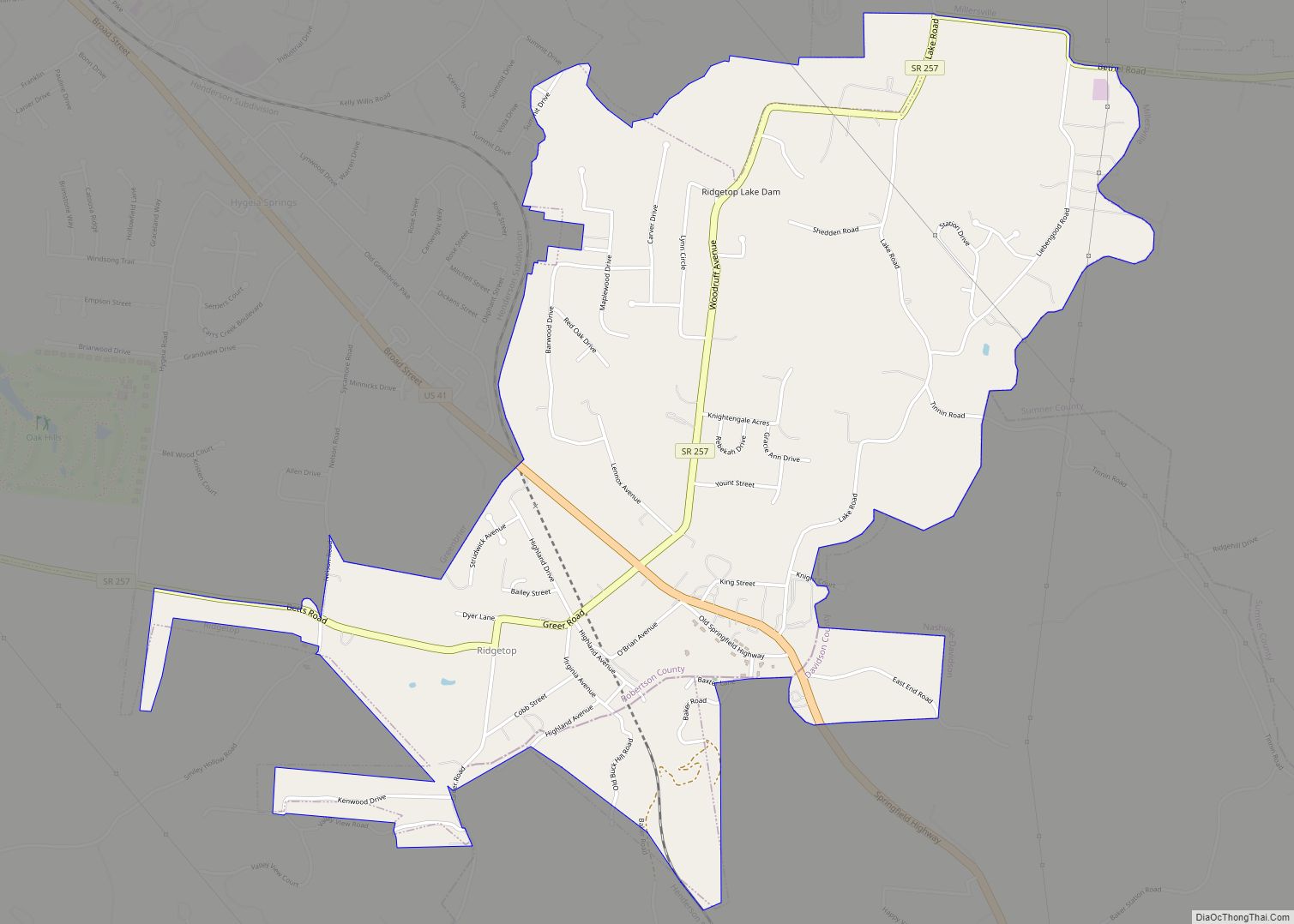
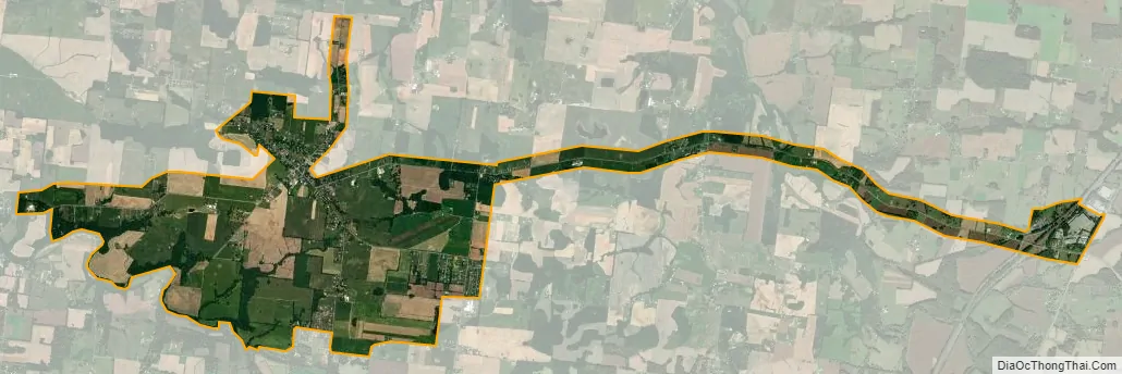
Orlinda city Satellite Map
Geography
According to the United States Census Bureau, the town had a total area of 6.7 square miles (17 km), all land.
See also
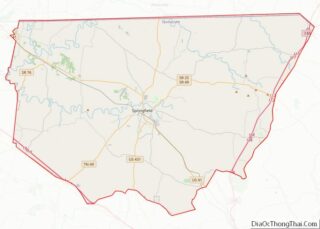
Map of Tennessee State and its subdivision:- Anderson
- Bedford
- Benton
- Bledsoe
- Blount
- Bradley
- Campbell
- Cannon
- Carroll
- Carter
- Cheatham
- Chester
- Claiborne
- Clay
- Cocke
- Coffee
- Crockett
- Cumberland
- Davidson
- Decatur
- DeKalb
- Dickson
- Dyer
- Fayette
- Fentress
- Franklin
- Gibson
- Giles
- Grainger
- Greene
- Grundy
- Hamblen
- Hamilton
- Hancock
- Hardeman
- Hardin
- Hawkins
- Haywood
- Henderson
- Henry
- Hickman
- Houston
- Humphreys
- Jackson
- Jefferson
- Johnson
- Knox
- Lake
- Lauderdale
- Lawrence
- Lewis
- Lincoln
- Loudon
- Macon
- Madison
- Marion
- Marshall
- Maury
- McMinn
- McNairy
- Meigs
- Monroe
- Montgomery
- Moore
- Morgan
- Obion
- Overton
- Perry
- Pickett
- Polk
- Putnam
- Rhea
- Roane
- Robertson
- Rutherford
- Scott
- Sequatchie
- Sevier
- Shelby
- Smith
- Stewart
- Sullivan
- Sumner
- Tipton
- Trousdale
- Unicoi
- Union
- Van Buren
- Warren
- Washington
- Wayne
- Weakley
- White
- Williamson
- Wilson
- Alabama
- Alaska
- Arizona
- Arkansas
- California
- Colorado
- Connecticut
- Delaware
- District of Columbia
- Florida
- Georgia
- Hawaii
- Idaho
- Illinois
- Indiana
- Iowa
- Kansas
- Kentucky
- Louisiana
- Maine
- Maryland
- Massachusetts
- Michigan
- Minnesota
- Mississippi
- Missouri
- Montana
- Nebraska
- Nevada
- New Hampshire
- New Jersey
- New Mexico
- New York
- North Carolina
- North Dakota
- Ohio
- Oklahoma
- Oregon
- Pennsylvania
- Rhode Island
- South Carolina
- South Dakota
- Tennessee
- Texas
- Utah
- Vermont
- Virginia
- Washington
- West Virginia
- Wisconsin
- Wyoming