Paris is a city in and the county seat of Henry County, Tennessee, United States. As of the 2020 census, the city had a population of 10,316.
A 70-foot (21 m) replica of the Eiffel Tower stands in the southern part of Paris.
| Name: | Paris city |
|---|---|
| LSAD Code: | 25 |
| LSAD Description: | city (suffix) |
| State: | Tennessee |
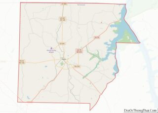
| County: | Henry County |
| Incorporated: | 1823 |
| Elevation: | 515 ft (157 m) |
| Total Area: | 12.96 sq mi (33.55 km²) |
| Land Area: | 12.91 sq mi (33.43 km²) |
| Water Area: | 0.05 sq mi (0.12 km²) |
| Total Population: | 10,316 |
| Population Density: | 799.13/sq mi (308.56/km²) |
| ZIP code: | 38242 |
| Area code: | 731 |
| FIPS code: | 4756720 |
| GNISfeature ID: | 1296772 |
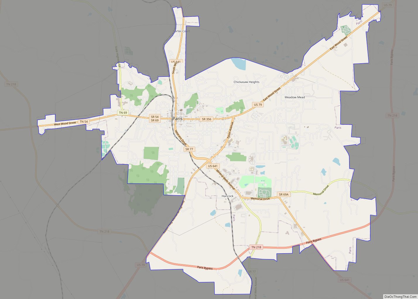
Online Interactive Map
Click on ![]() to view map in "full screen" mode.
to view map in "full screen" mode.
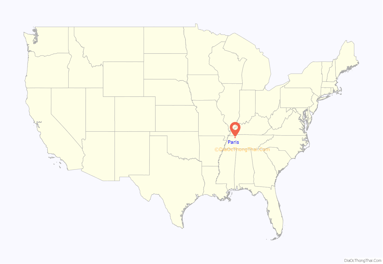
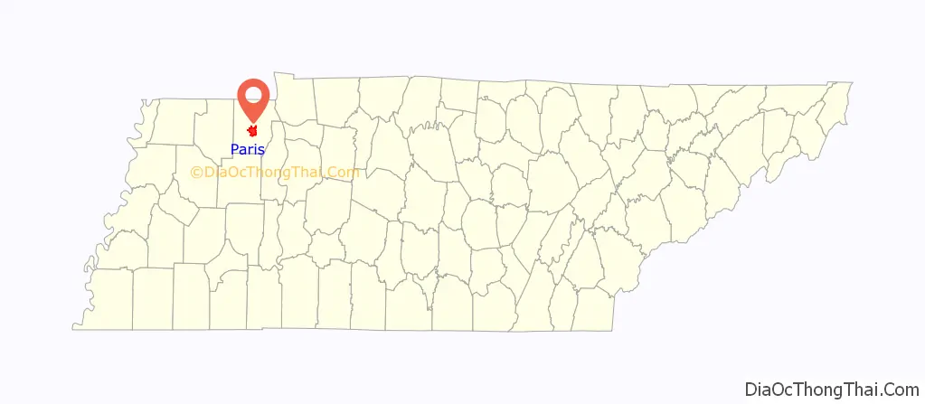
Paris location map. Where is Paris city?
History
The present site of Paris was selected by five commissioners appointed to the task of choosing a county seat at the December 1822 session of the Court of Pleas and Quarter Sessions of Henry County. Their choice was a 50-acre (20 ha) site, of which 37.5 acres (15.2 ha) were owned by Joseph Blythe and 12.5 acres (5.1 ha) owned by Peter Ruff; both men donated the land to the county to have the seat there. A public square, streets, alleys, and 104 lots were laid off, and the lots were sold at auction over a two-day period in either March or April 1823.
Paris was incorporated on September 30, 1823. It was the first town incorporated in West Tennessee, followed by Lexington on October 9, 1824, and Memphis on December 19, 1826. The city was named after Paris, France, in honor of the Marquis de Lafayette, a hero of the American Revolutionary War.
As the county seat, Paris was a center of trade for the rural county, which was largely devoted to agriculture and particularly the cultivation of cotton as a commodity crop. The planters depended on a large workforce of enslaved African Americans. In 1927, a man named Joseph Upchurch was lynched in Paris.
Between about 1970 and 1990, Paris became the center of the Old Beachy Amish. Beachy Amish from different regions moved there to maintain their traditional ways. Because of internal conflicts, most Old Beachy Amish left the region in the early 1990s and had completely vacated it by 2000.
Since the civil war, Paris has had an African American community of around 15%. Prior to the early 1960’s, young black children attended segregated schools. But beginning in the 1960’s, the town of Paris worked in conjunction with Henry County to consolidate all schools, busing all children from the periphery of the county to consolidated, integrated schools in Paris. The process was largely peaceful. Also beginning in the 1960’s, there was a gradual process of integration of the races in business around the town, also largely peaceful. See Citizendium’s article on Paris, Tennessee for more details about how it went.
Read about the lynching of Joseph Upchurch for one known incident of a racial lynching in the town; it occurred in 1927 and was written up in the New York Times.
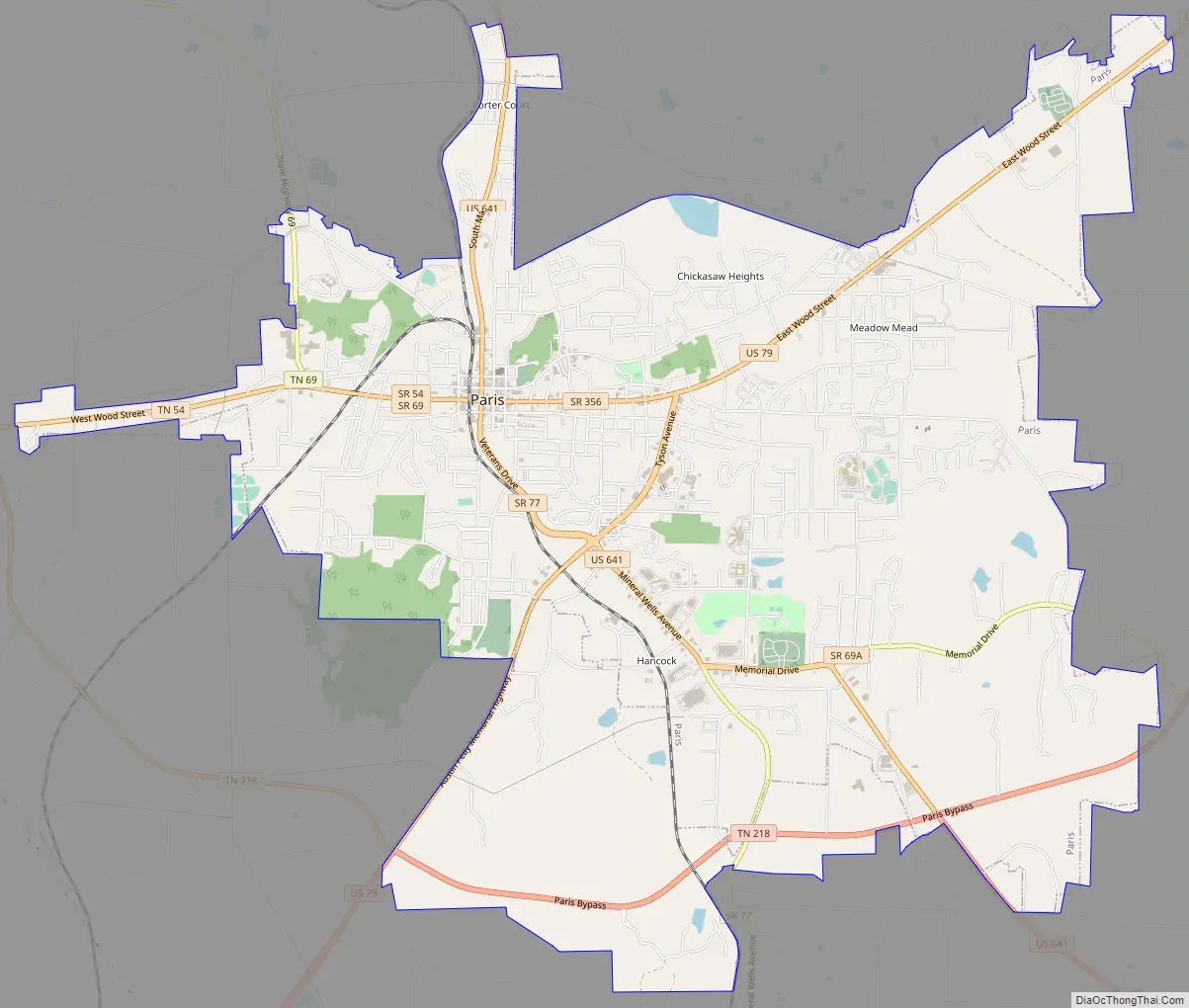
Paris Road Map
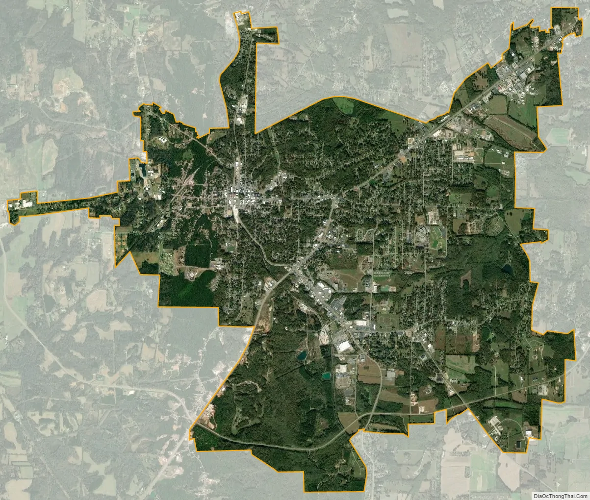
Paris city Satellite Map
Geography
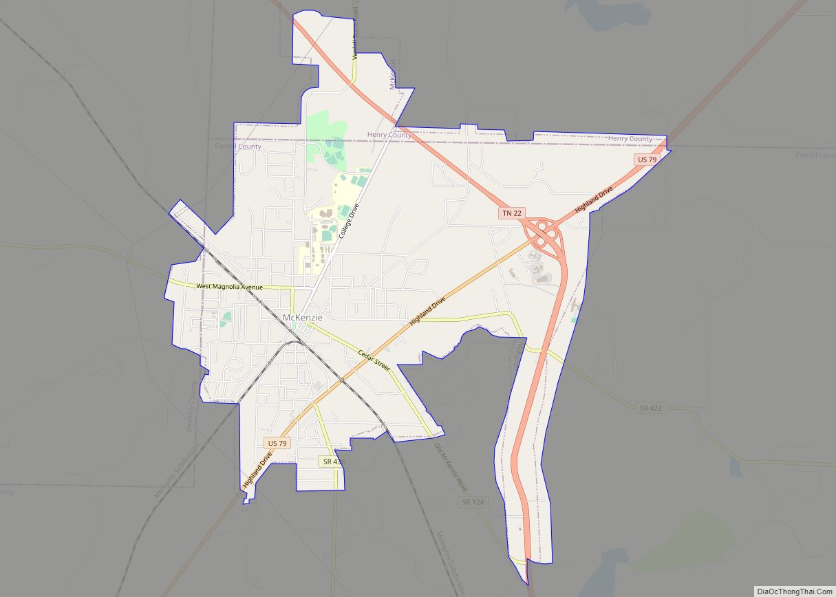
Paris is located just south of the center of Henry County at 36°18′4″N 88°18′50″W / 36.30111°N 88.31389°W / 36.30111; -88.31389 (36.301229, -88.313815). U.S. Route 641 passes through the city center as Market Street, leading north 21 miles (34 km) to Murray, Kentucky, and southeast 22 miles (35 km) to Camden. U.S. Route 79 passes southeast of the city center as Tyson Avenue and Wood Street; it leads northeast 62 miles (100 km) to Clarksville and southwest 16 miles (26 km) to McKenzie. Nashville, the state capital, is 86 miles (138 km) to the east in a straight line and 113 miles (182 km) by the quickest road route, via Clarksville.
According to the United States Census Bureau, Paris has a total area of 13.0 square miles (33.7 km), of which 13.0 square miles (33.6 km) are land and 0.04 square miles (0.1 km), or 0.27%, is covered by water. The city is drained primarily to the east, by tributaries of West Sandy Creek, flowing to the Tennessee River in Kentucky Lake. The southwest corner of the city drains to the Middle Fork of the Obion River, a west-flowing tributary of the Mississippi River.
Climate
The climate of Paris is humid subtropical (Köppen Cfa) with mild winters and hot summers. Under the Trewartha climate classification, it is a temperate oceanic (Do) climate because only 7 months of the Paris year have a mean daily temperature of 50 °F (10 °C) or higher.
See also
Map of Tennessee State and its subdivision:- Anderson
- Bedford
- Benton
- Bledsoe
- Blount
- Bradley
- Campbell
- Cannon
- Carroll
- Carter
- Cheatham
- Chester
- Claiborne
- Clay
- Cocke
- Coffee
- Crockett
- Cumberland
- Davidson
- Decatur
- DeKalb
- Dickson
- Dyer
- Fayette
- Fentress
- Franklin
- Gibson
- Giles
- Grainger
- Greene
- Grundy
- Hamblen
- Hamilton
- Hancock
- Hardeman
- Hardin
- Hawkins
- Haywood
- Henderson
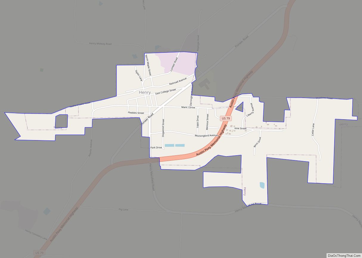
- Henry
- Hickman
- Houston
- Humphreys
- Jackson
- Jefferson
- Johnson
- Knox
- Lake
- Lauderdale
- Lawrence
- Lewis
- Lincoln
- Loudon
- Macon
- Madison
- Marion
- Marshall
- Maury
- McMinn
- McNairy
- Meigs
- Monroe
- Montgomery
- Moore
- Morgan
- Obion
- Overton
- Perry
- Pickett
- Polk
- Putnam
- Rhea
- Roane
- Robertson
- Rutherford
- Scott
- Sequatchie
- Sevier
- Shelby
- Smith
- Stewart
- Sullivan
- Sumner
- Tipton
- Trousdale
- Unicoi
- Union
- Van Buren
- Warren
- Washington
- Wayne
- Weakley
- White
- Williamson
- Wilson
- Alabama
- Alaska
- Arizona
- Arkansas
- California
- Colorado
- Connecticut
- Delaware
- District of Columbia
- Florida
- Georgia
- Hawaii
- Idaho
- Illinois
- Indiana
- Iowa
- Kansas
- Kentucky
- Louisiana
- Maine
- Maryland
- Massachusetts
- Michigan
- Minnesota
- Mississippi
- Missouri
- Montana
- Nebraska
- Nevada
- New Hampshire
- New Jersey
- New Mexico
- New York
- North Carolina
- North Dakota
- Ohio
- Oklahoma
- Oregon
- Pennsylvania
- Rhode Island
- South Carolina
- South Dakota
- Tennessee
- Texas
- Utah
- Vermont
- Virginia
- Washington
- West Virginia
- Wisconsin
- Wyoming