Map of Pleasant View city, Tennessee
Pleasant View is a city in Cheatham County, Tennessee, United States. The population was 4,807 at the 2020 census. Pleasant View city overview: Name: Pleasant View city LSAD Code: 25 LSAD Description: city (suffix) State: Tennessee County: Cheatham County Elevation: 692 ft (211 m) Total Area: 12.52 sq mi (32.43 km²) Land Area: 12.52 sq mi (32.43 km²) Water Area: 0.00 sq mi (0.00 km²) Total ... Read more
Map of Pleasant View city, Tennessee
Map of Pleasant Hill town, Tennessee
Pleasant Hill is a town in Cumberland County, Tennessee, United States. The population was 563 at the 2010 census. Pleasant Hill town overview: Name: Pleasant Hill town LSAD Code: 43 LSAD Description: town (suffix) State: Tennessee County: Cumberland County Incorporated: 1903 Elevation: 1,893 ft (577 m) Total Area: 1.64 sq mi (4.25 km²) Land Area: 1.63 sq mi (4.22 km²) Water Area: 0.01 sq mi ... Read more
Map of Pleasant Hill town, Tennessee
Map of Plainview city, Tennessee
Plainview is a city in Union County, Tennessee, United States. The population was 2,125 at the 2010 census, up from 1,866 at the 2000 census. It is included in the Knoxville, Tennessee Metropolitan Statistical Area. Plainview is located in the southern part of the county, south of Maynardville, the county seat. Plainview city overview: Name: ... Read more
Map of Plainview city, Tennessee
Map of Pittman Center town
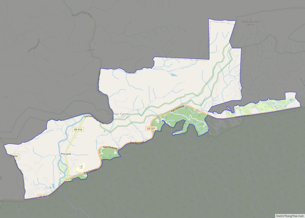
Pittman Center is a town in Sevier County, Tennessee, United States. The population was 454 at the 2020 census and 502 at the 2010 census. The town borders Gatlinburg and the Great Smoky Mountains National Park. U.S. 321 passes through the town. Emert’s Cove is situated in Pittman Center, a broad valley along the Middle ... Read more
Map of Pittman Center town
Map of Piperton city
Piperton is a city in Fayette County, Tennessee, United States. The population was 2,263 at the 2020 census. In 2007 USA Today cited the National Motorist Association when it listed Piperton as one of the worst cities for speeding tickets across the USA. Piperton city overview: Name: Piperton city LSAD Code: 25 LSAD Description: city ... Read more
Map of Piperton city
Map of Ridgetop city
Ridgetop is a city in Davidson and Robertson counties in the U.S. state of Tennessee. The population was 1,874 at the 2010 census. Ridgetop city overview: Name: Ridgetop city LSAD Code: 25 LSAD Description: city (suffix) State: Tennessee County: Davidson County, Robertson County Elevation: 896 ft (273 m) Total Area: 3.04 sq mi (7.87 km²) Land Area: 3.03 sq mi (7.84 km²) Water ... Read more
Map of Ridgetop city
Map of Ridgeside city
Ridgeside is a city in Hamilton County, Tennessee, United States. The population was 446 at the 2020 census and estimated to be 432 in 2018. Ridgeside is an enclave, as it is completely surrounded by the city limits of Chattanooga. It is part of the Chattanooga, TN–GA Metropolitan Statistical Area. Ridgeside’s name is derived from ... Read more
Map of Ridgeside city
Map of Ridgely town, Tennessee
Ridgely is a town in Lake County, Tennessee, United States. The population was 1,667 at the 2000 census and 1,795 at the 2010 census. Ridgely town overview: Name: Ridgely town LSAD Code: 43 LSAD Description: town (suffix) State: Tennessee County: Lake County Elevation: 282 ft (86 m) Total Area: 1.98 sq mi (5.14 km²) Land Area: 1.98 sq mi (5.14 km²) Water Area: ... Read more
Map of Ridgely town, Tennessee
Map of Riceville CDP, Tennessee
Riceville is an unincorporated community and census-designated place (CDP) in McMinn County, Tennessee, United States. It is located some 60 miles southwest of Knoxville, and midway between Knoxville and Chattanooga, and in closer proximity, between Athens and Calhoun. Its population was 688 as of the 2020 census. Riceville CDP overview: Name: Riceville CDP LSAD Code: ... Read more
Map of Riceville CDP, Tennessee
Map of Red Boiling Springs city
Red Boiling Springs is a city in Macon County, Tennessee, United States. The population was 1,205 at the 2020 census. Red Boiling Springs city overview: Name: Red Boiling Springs city LSAD Code: 25 LSAD Description: city (suffix) State: Tennessee County: Macon County Incorporated: 1953 Elevation: 771 ft (235 m) Total Area: 1.75 sq mi (4.53 km²) Land Area: 1.75 sq mi (4.53 km²) ... Read more
Map of Red Boiling Springs city
Map of Red Bank city, Tennessee
Red Bank is a city in Hamilton County, Tennessee, United States. The population was 11,899 at the 2020 census . Red Bank is an enclave, being entirely surrounded by the city limits of Chattanooga. Red Bank is part of the Chattanooga, TN-GA, Metropolitan Statistical Area. Red Bank city overview: Name: Red Bank city LSAD Code: ... Read more
Map of Red Bank city, Tennessee
Map of Ramer city
Ramer is a city in McNairy County, Tennessee. The population was 354 at the 2000 census. The community was named after the Ramer family of settlers. Ramer city overview: Name: Ramer city LSAD Code: 25 LSAD Description: city (suffix) State: Tennessee County: McNairy County Elevation: 410 ft (125 m) Total Area: 1.79 sq mi (4.64 km²) Land Area: 1.79 sq mi (4.64 km²) ... Read more
Map of Ramer city