Red Bank is a city in Hamilton County, Tennessee, United States. The population was 11,899 at the 2020 census . Red Bank is an enclave, being entirely surrounded by the city limits of Chattanooga. Red Bank is part of the Chattanooga, TN-GA, Metropolitan Statistical Area.
| Name: | Red Bank city |
|---|---|
| LSAD Code: | 25 |
| LSAD Description: | city (suffix) |
| State: | Tennessee |
| County: | Hamilton County |
| Incorporated: | 1955 |
| Elevation: | 722 ft (220 m) |
| Total Area: | 6.56 sq mi (16.99 km²) |
| Land Area: | 6.56 sq mi (16.99 km²) |
| Water Area: | 0.00 sq mi (0.00 km²) |
| Total Population: | 11,899 |
| Population Density: | 1,814.43/sq mi (700.54/km²) |
| ZIP code: | 37415 (with some 37405 and 37434) |
| Area code: | 423 |
| FIPS code: | 4761960 |
| GNISfeature ID: | 1299035 |
| Website: | www.redbanktn.gov |
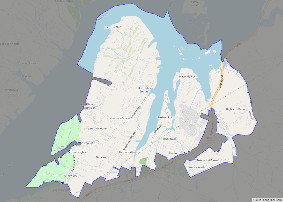
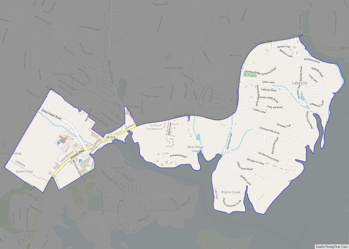
Online Interactive Map
Click on ![]() to view map in "full screen" mode.
to view map in "full screen" mode.
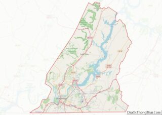
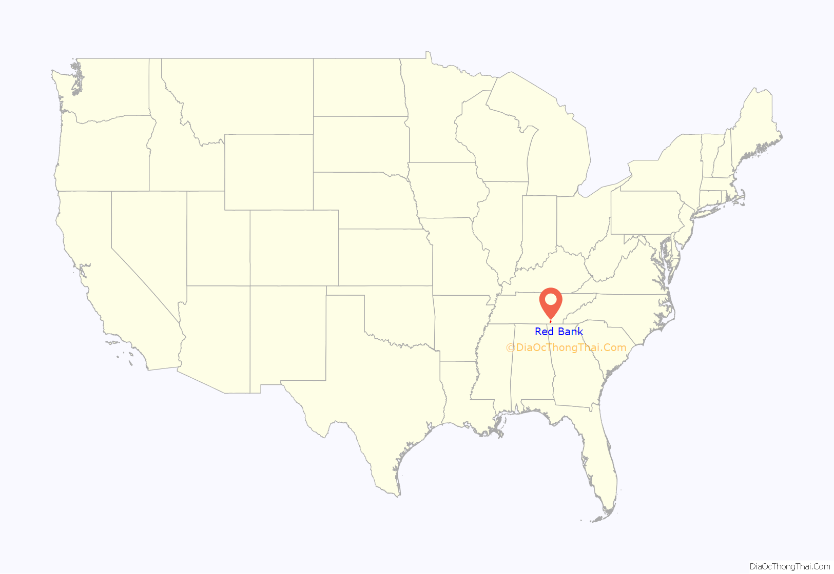
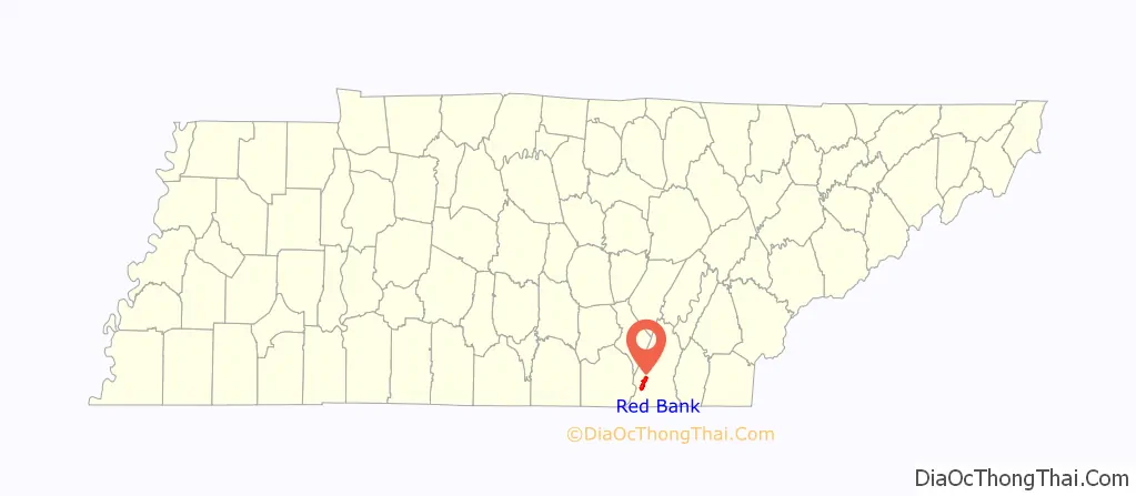
Red Bank location map. Where is Red Bank city?
History
Red Bank was originally known as “Pleasant Hill”. When a post office was established in the community in 1881, however, it was asked to adopt a new name, since the name “Pleasant Hill” was already taken. The name “Red Bank” was chosen by the wife of the first postmaster, George Hartman. It was inspired by the red clay ridge that was visible from a window in her house. In 1955, the communities of Red Bank and White Oak incorporated as a single town called “Red Bank-White Oak”. In 1966, the city voted to drop the “White Oak” for simplification purposes.
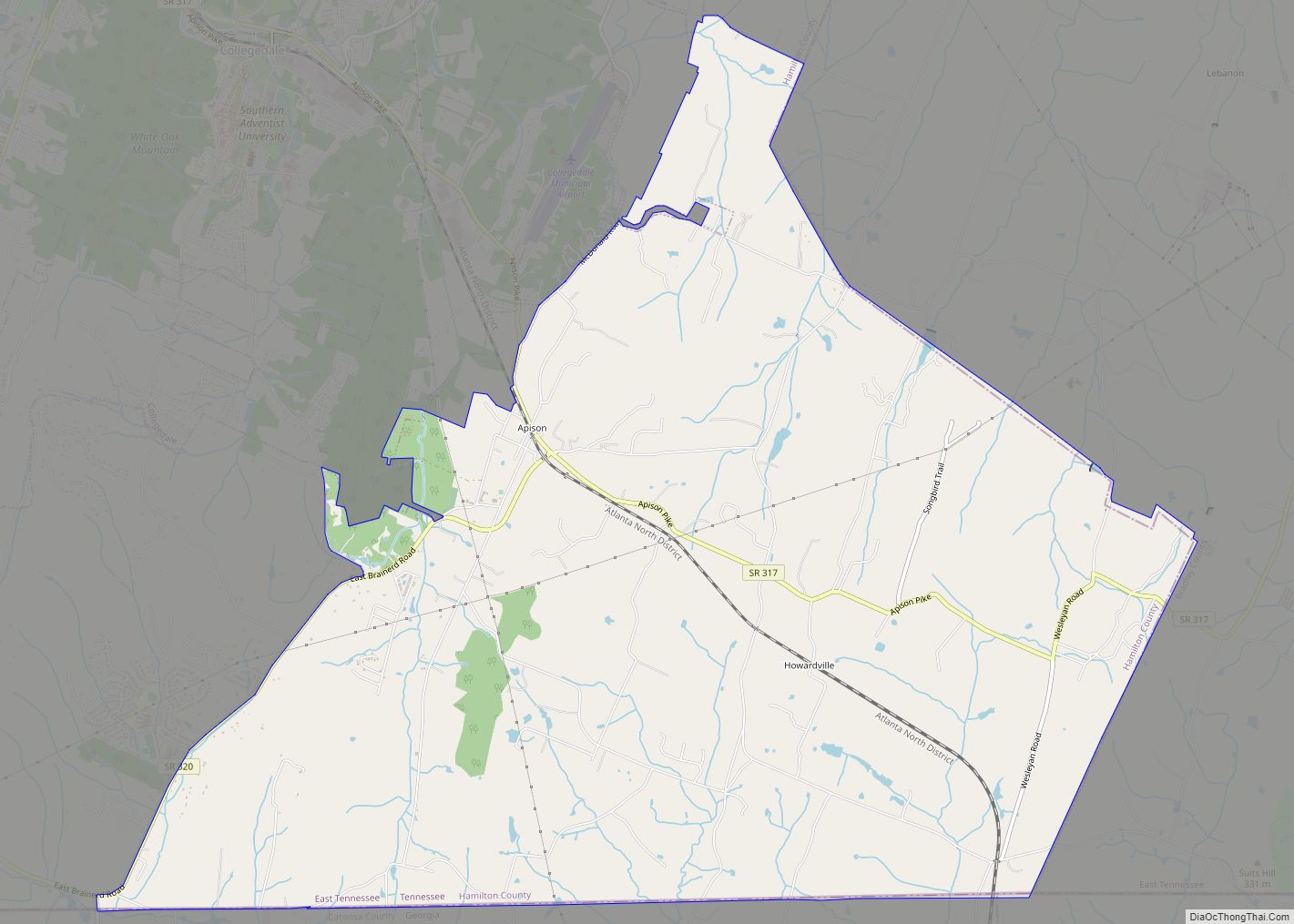
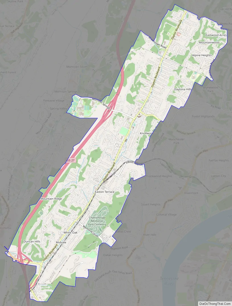
Red Bank Road Map
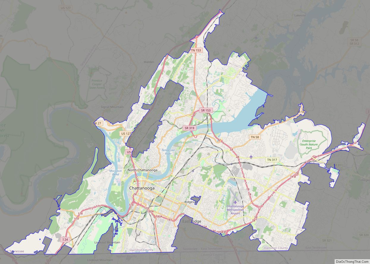
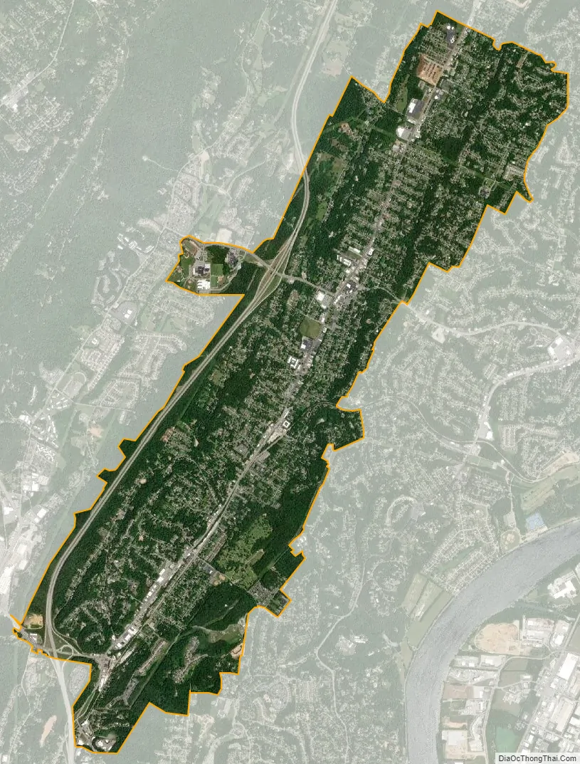
Red Bank city Satellite Map
Geography
Red Bank is located at 35°6′37″N 85°17′49″W / 35.11028°N 85.29694°W / 35.11028; -85.29694 (35.110372, -85.297048). The city lies at the base of the Cumberland Plateau in southwestern Hamilton County. It is bordered on all sides by the city of Chattanooga and is 5 miles (8 km) north of Chattanooga’s downtown. Dayton Boulevard is the city’s main thoroughfare, though U.S. Route 27 runs along the city’s western edge.
According to the United States Census Bureau, Red Bank has a total area of 6.5 square miles (16.9 km), all of it recorded as land. The city center follows the valley of Stringers Branch, a southwest-flowing tributary of the Tennessee River.
See also
Map of Tennessee State and its subdivision:- Anderson
- Bedford
- Benton
- Bledsoe
- Blount
- Bradley
- Campbell
- Cannon
- Carroll
- Carter
- Cheatham
- Chester
- Claiborne
- Clay
- Cocke
- Coffee
- Crockett
- Cumberland
- Davidson
- Decatur
- DeKalb
- Dickson
- Dyer
- Fayette
- Fentress
- Franklin
- Gibson
- Giles
- Grainger
- Greene
- Grundy
- Hamblen
- Hamilton
- Hancock
- Hardeman
- Hardin
- Hawkins
- Haywood
- Henderson
- Henry
- Hickman
- Houston
- Humphreys
- Jackson
- Jefferson
- Johnson
- Knox
- Lake
- Lauderdale
- Lawrence
- Lewis
- Lincoln
- Loudon
- Macon
- Madison
- Marion
- Marshall
- Maury
- McMinn
- McNairy
- Meigs
- Monroe
- Montgomery
- Moore
- Morgan
- Obion
- Overton
- Perry
- Pickett
- Polk
- Putnam
- Rhea
- Roane
- Robertson
- Rutherford
- Scott
- Sequatchie
- Sevier
- Shelby
- Smith
- Stewart
- Sullivan
- Sumner
- Tipton
- Trousdale
- Unicoi
- Union
- Van Buren
- Warren
- Washington
- Wayne
- Weakley
- White
- Williamson
- Wilson
- Alabama
- Alaska
- Arizona
- Arkansas
- California
- Colorado
- Connecticut
- Delaware
- District of Columbia
- Florida
- Georgia
- Hawaii
- Idaho
- Illinois
- Indiana
- Iowa
- Kansas
- Kentucky
- Louisiana
- Maine
- Maryland
- Massachusetts
- Michigan
- Minnesota
- Mississippi
- Missouri
- Montana
- Nebraska
- Nevada
- New Hampshire
- New Jersey
- New Mexico
- New York
- North Carolina
- North Dakota
- Ohio
- Oklahoma
- Oregon
- Pennsylvania
- Rhode Island
- South Carolina
- South Dakota
- Tennessee
- Texas
- Utah
- Vermont
- Virginia
- Washington
- West Virginia
- Wisconsin
- Wyoming