Pleasant Hill is a town in Cumberland County, Tennessee, United States. The population was 563 at the 2010 census.
| Name: | Pleasant Hill town |
|---|---|
| LSAD Code: | 43 |
| LSAD Description: | town (suffix) |
| State: | Tennessee |
| County: | Cumberland County |
| Incorporated: | 1903 |
| Elevation: | 1,893 ft (577 m) |
| Total Area: | 1.64 sq mi (4.25 km²) |
| Land Area: | 1.63 sq mi (4.22 km²) |
| Water Area: | 0.01 sq mi (0.03 km²) |
| Total Population: | 540 |
| Population Density: | 331.29/sq mi (127.91/km²) |
| ZIP code: | 38578 |
| Area code: | 931 |
| FIPS code: | 4759240 |
| GNISfeature ID: | 1297846 |
Online Interactive Map
Click on ![]() to view map in "full screen" mode.
to view map in "full screen" mode.
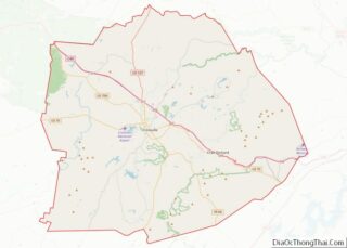
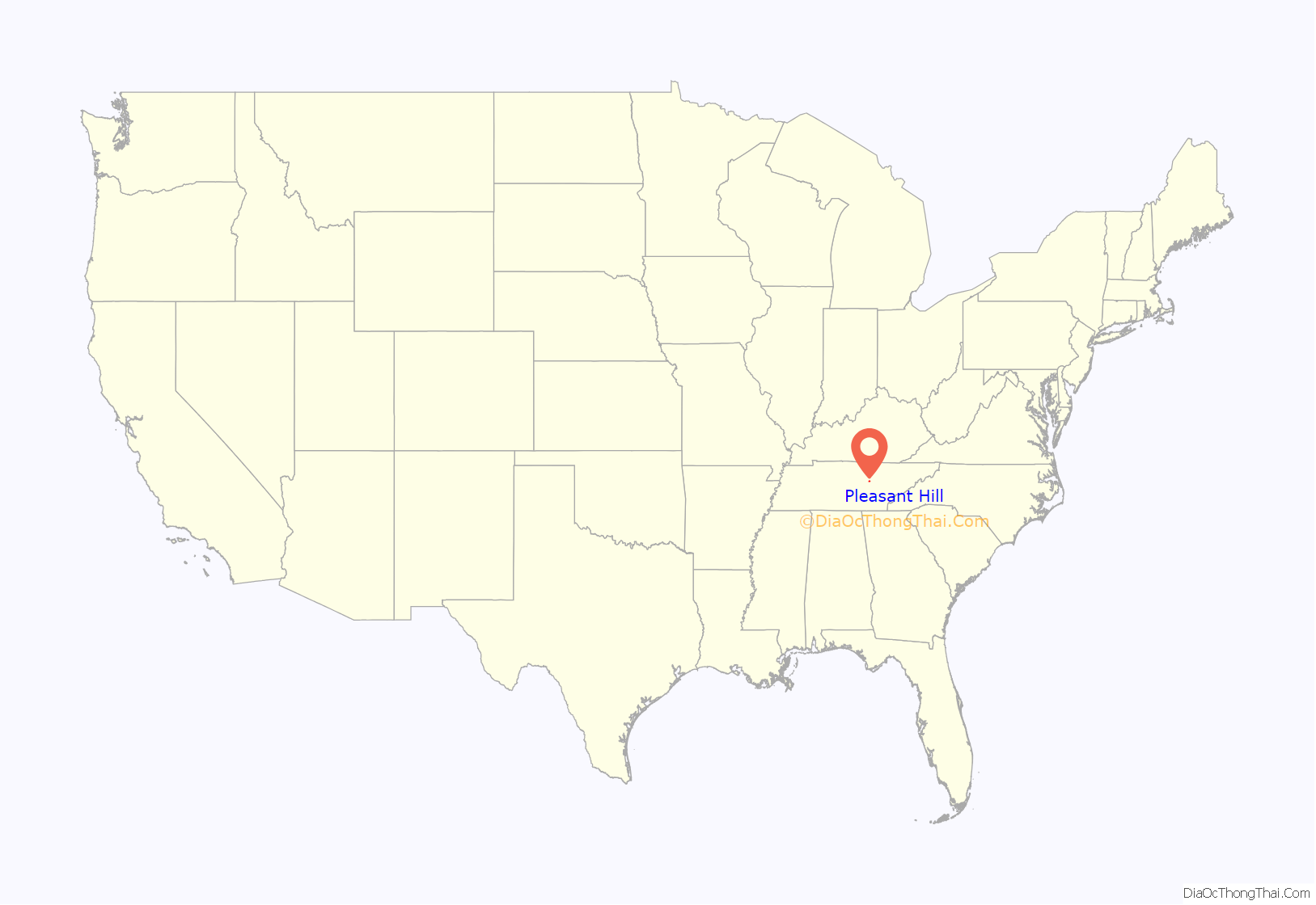
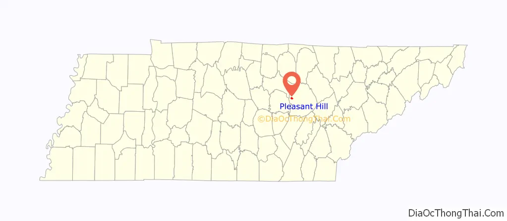
Pleasant Hill location map. Where is Pleasant Hill town?
History
Pleasant Hill was first settled by European Americans before 1819. In 1884 a teacher from the American Missionary Association (AMA) established the Pleasant Hill Academy to provide broad liberal arts education for rural youth, while also giving vocational training in agriculture and local skills. Supported by the Congregational Church, the school operated until 1947. Its main building, Pioneer Hall, is still standing.
May Cravath Wharton, an early woman physician from Minnesota, established a medical clinic at the academy, where her husband was the director. Wharton also cared for people in the community. They invited her to stay after the death of her husband Edwin.
Wharton created a small hospital and, with successful fundraising in New England through the AMA, she was able to add a sanatorium annex for the care of people with tuberculosis. As no antibiotic was known at the time, rest and good nutrition were the only treatment. The Uplands Sanatorium was adapted as a retirement home when the hospital was relocated to Crossville, the county seat. The hospital is now known as the Cumberland Medical Center.
Camp Crossville, a site just east of Pleasant Hill, was used as a prisoner of war camp during World War II, housing German and Italian officers from November 1942 until the end of the war.
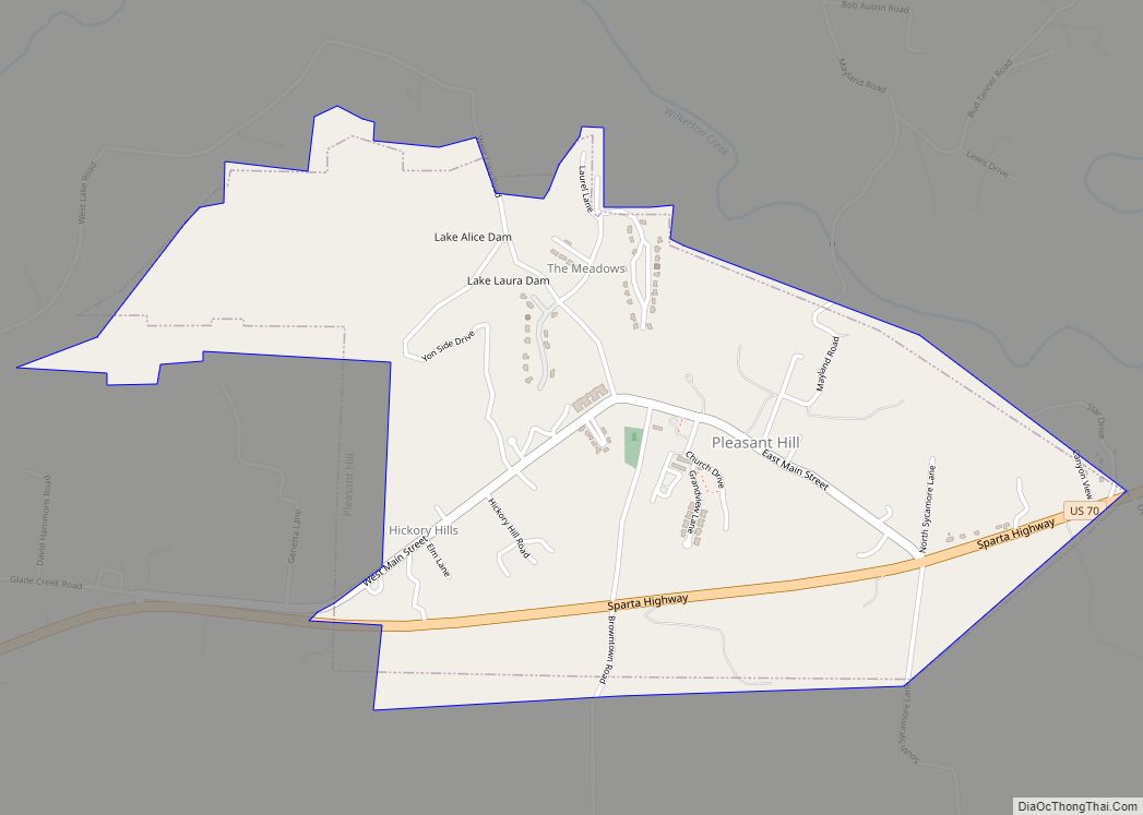
Pleasant Hill Road Map

Pleasant Hill city Satellite Map

Geography
Pleasant Hill is located at 35°58′37″N 85°12′1″W / 35.97694°N 85.20028°W / 35.97694; -85.20028 (35.976915, -85.200229). The town is situated in a hilly area along the western Cumberland Plateau. In the northwestern part of the town, Frey Branch is impounded by two dams, Lake Laura Dam and Lake Alice Dam, to create two small lakes, Upland Lake and Lake Alice, respectively.
U.S. Route 70 passes through the southern portion of Pleasant Hill, connecting the town with Crossville to the east and Sparta to the west.
According to the United States Census Bureau, the town has a total area of 1.6 square miles (4.1 km), of which 1.5 square miles (3.9 km) is land and 0.64% is water.
See also
Map of Tennessee State and its subdivision:- Anderson
- Bedford
- Benton
- Bledsoe
- Blount
- Bradley
- Campbell
- Cannon
- Carroll
- Carter
- Cheatham
- Chester
- Claiborne
- Clay
- Cocke
- Coffee
- Crockett
- Cumberland
- Davidson
- Decatur
- DeKalb
- Dickson
- Dyer
- Fayette
- Fentress
- Franklin
- Gibson
- Giles
- Grainger
- Greene
- Grundy
- Hamblen
- Hamilton
- Hancock
- Hardeman
- Hardin
- Hawkins
- Haywood
- Henderson
- Henry
- Hickman
- Houston
- Humphreys
- Jackson
- Jefferson
- Johnson
- Knox
- Lake
- Lauderdale
- Lawrence
- Lewis
- Lincoln
- Loudon
- Macon
- Madison
- Marion
- Marshall
- Maury
- McMinn
- McNairy
- Meigs
- Monroe
- Montgomery
- Moore
- Morgan
- Obion
- Overton
- Perry
- Pickett
- Polk
- Putnam
- Rhea
- Roane
- Robertson
- Rutherford
- Scott
- Sequatchie
- Sevier
- Shelby
- Smith
- Stewart
- Sullivan
- Sumner
- Tipton
- Trousdale
- Unicoi
- Union
- Van Buren
- Warren
- Washington
- Wayne
- Weakley
- White
- Williamson
- Wilson
- Alabama
- Alaska
- Arizona
- Arkansas
- California
- Colorado
- Connecticut
- Delaware
- District of Columbia
- Florida
- Georgia
- Hawaii
- Idaho
- Illinois
- Indiana
- Iowa
- Kansas
- Kentucky
- Louisiana
- Maine
- Maryland
- Massachusetts
- Michigan
- Minnesota
- Mississippi
- Missouri
- Montana
- Nebraska
- Nevada
- New Hampshire
- New Jersey
- New Mexico
- New York
- North Carolina
- North Dakota
- Ohio
- Oklahoma
- Oregon
- Pennsylvania
- Rhode Island
- South Carolina
- South Dakota
- Tennessee
- Texas
- Utah
- Vermont
- Virginia
- Washington
- West Virginia
- Wisconsin
- Wyoming