Plainview is a city in Union County, Tennessee, United States. The population was 2,125 at the 2010 census, up from 1,866 at the 2000 census. It is included in the Knoxville, Tennessee Metropolitan Statistical Area. Plainview is located in the southern part of the county, south of Maynardville, the county seat.
| Name: | Plainview city |
|---|---|
| LSAD Code: | 25 |
| LSAD Description: | city (suffix) |
| State: | Tennessee |
| County: | Union County |
| Incorporated: | 1992 |
| Elevation: | 1,129 ft (344 m) |
| Total Area: | 6.37 sq mi (16.49 km²) |
| Land Area: | 6.37 sq mi (16.49 km²) |
| Water Area: | 0.00 sq mi (0.00 km²) |
| Total Population: | 2,060 |
| Population Density: | 323.49/sq mi (124.89/km²) |
| FIPS code: | 4759020 |
| GNISfeature ID: | 1652472 |
Online Interactive Map
Click on ![]() to view map in "full screen" mode.
to view map in "full screen" mode.
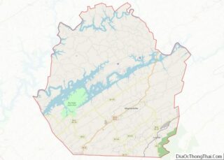
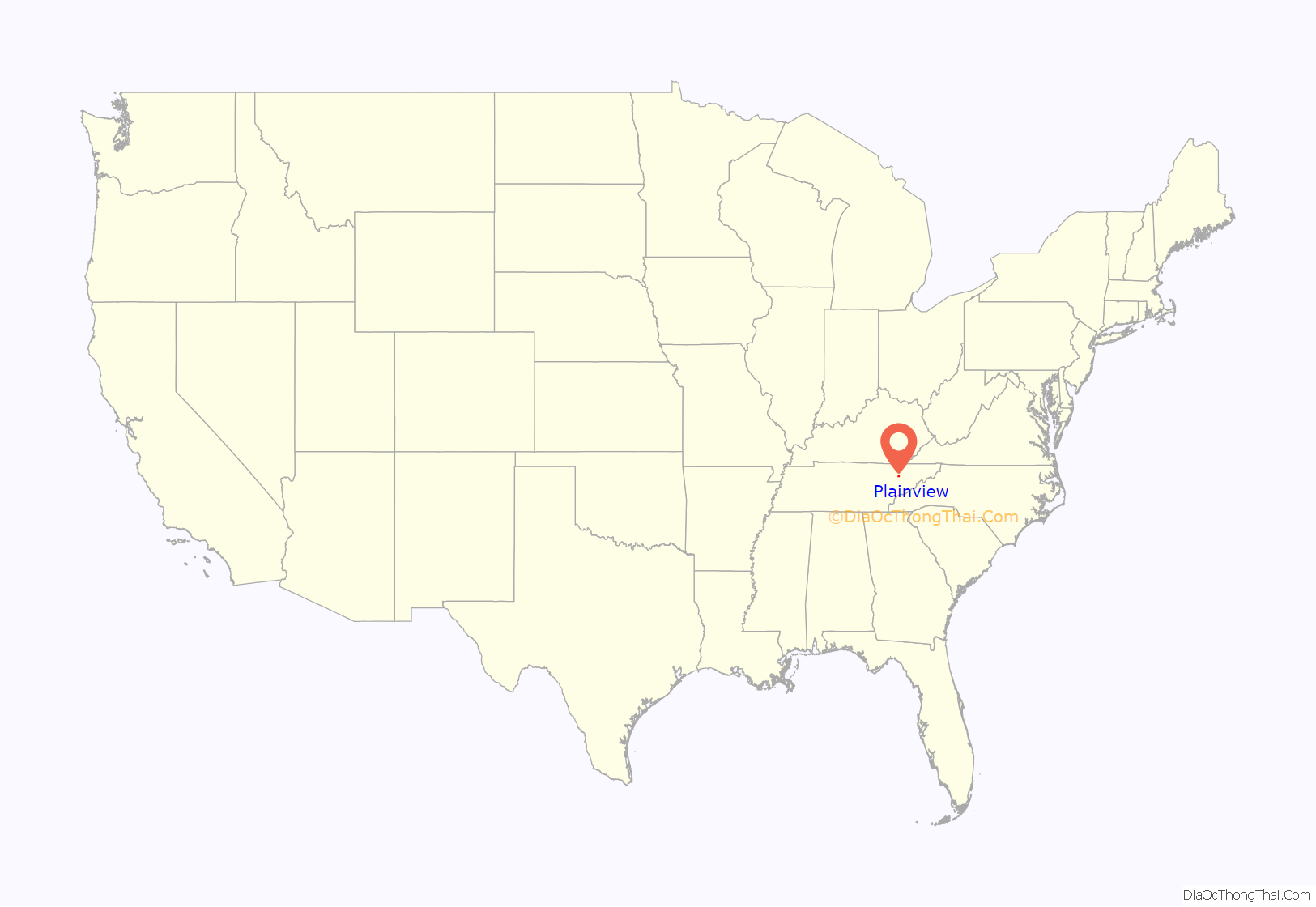
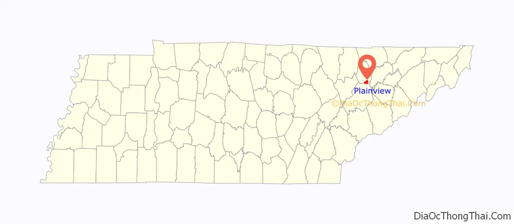
Plainview location map. Where is Plainview city?
History
Plainview would emerge into a thriving community following volunteer efforts towards the community’s school, which was built in the 1920s. The school would close in the mid-20th century, prompting residents to convert the building into a community center following the donation of the structure by the Union County Board of Education to the Plainview Community Club.
In 1981, the nearby city of Luttrell would establish proposed plans to annex the Plainview community, prompting community members to form a activist group and file a lawsuit against Luttrell in the Union County Chancery Court. The court would side in favor of Plainview, halting Luttrell from annexing the community, but would require the community to incorporate into a city in order to avoid the annexation into Luttrell. Plainview would incorporate into a city in 1992. The city government has subsequently paved many local streets, installed street lighting, enacted zoning, provided a mass recycling location and developed a walking trail.
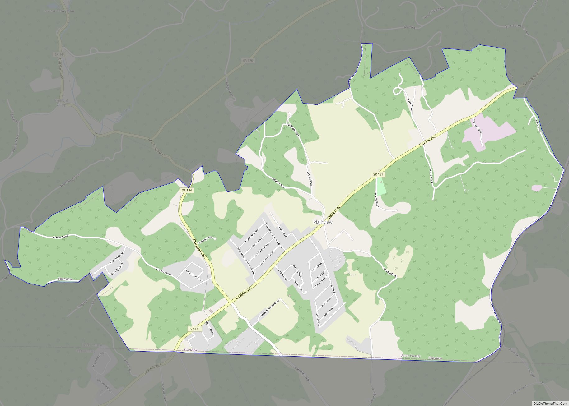
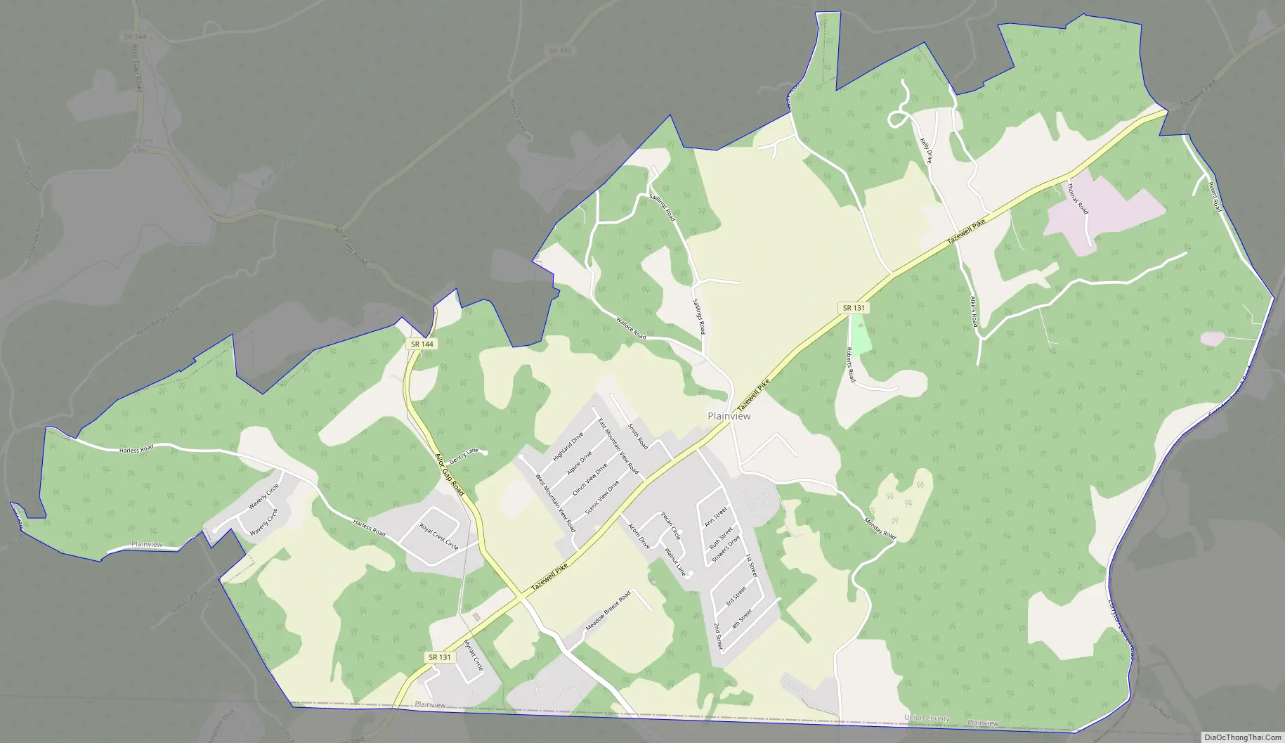
Plainview Road Map
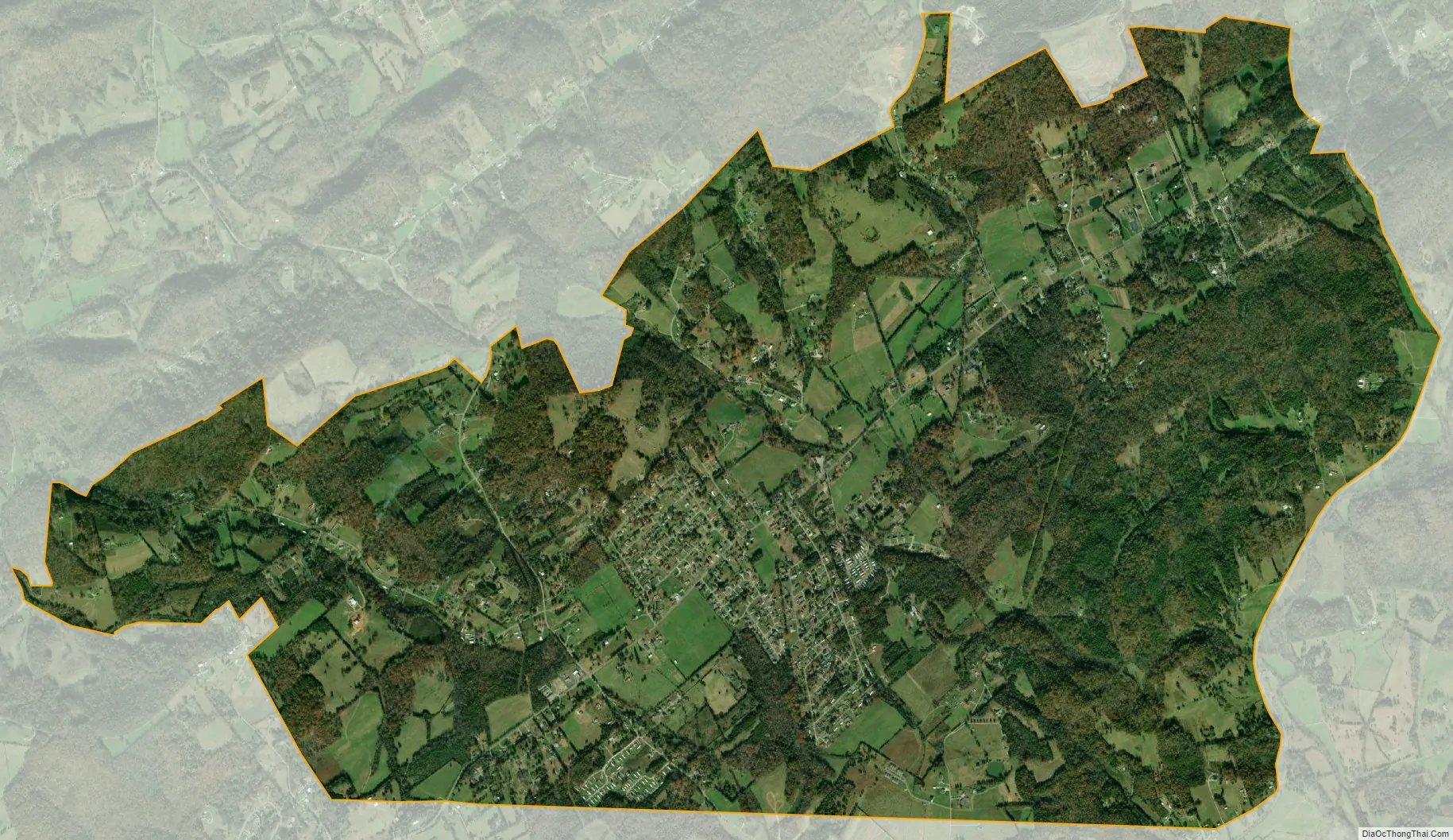
Plainview city Satellite Map
Geography
According to the United States Census Bureau, Plainview has a total area of 6.4 square miles (17 km), all land. The city is situated along the southern base of Copper Ridge, an elongate ridge characteristic of the Appalachian Ridge-and-Valley range. The Knox County line lies just to the south, and Luttrell borders the city to the northeast. House Mountain rises prominently to the south, and Clinch Mountain rises prominently to the east.
Tennessee State Routes 131 (Tazewell Pike) and 144 (Corryton Road) intersect in Plainview.
Plainview’s City Hall is on Tazewell Pike.
See also
Map of Tennessee State and its subdivision:- Anderson
- Bedford
- Benton
- Bledsoe
- Blount
- Bradley
- Campbell
- Cannon
- Carroll
- Carter
- Cheatham
- Chester
- Claiborne
- Clay
- Cocke
- Coffee
- Crockett
- Cumberland
- Davidson
- Decatur
- DeKalb
- Dickson
- Dyer
- Fayette
- Fentress
- Franklin
- Gibson
- Giles
- Grainger
- Greene
- Grundy
- Hamblen
- Hamilton
- Hancock
- Hardeman
- Hardin
- Hawkins
- Haywood
- Henderson
- Henry
- Hickman
- Houston
- Humphreys
- Jackson
- Jefferson
- Johnson
- Knox
- Lake
- Lauderdale
- Lawrence
- Lewis
- Lincoln
- Loudon
- Macon
- Madison
- Marion
- Marshall
- Maury
- McMinn
- McNairy
- Meigs
- Monroe
- Montgomery
- Moore
- Morgan
- Obion
- Overton
- Perry
- Pickett
- Polk
- Putnam
- Rhea
- Roane
- Robertson
- Rutherford
- Scott
- Sequatchie
- Sevier
- Shelby
- Smith
- Stewart
- Sullivan
- Sumner
- Tipton
- Trousdale
- Unicoi
- Union
- Van Buren
- Warren
- Washington
- Wayne
- Weakley
- White
- Williamson
- Wilson
- Alabama
- Alaska
- Arizona
- Arkansas
- California
- Colorado
- Connecticut
- Delaware
- District of Columbia
- Florida
- Georgia
- Hawaii
- Idaho
- Illinois
- Indiana
- Iowa
- Kansas
- Kentucky
- Louisiana
- Maine
- Maryland
- Massachusetts
- Michigan
- Minnesota
- Mississippi
- Missouri
- Montana
- Nebraska
- Nevada
- New Hampshire
- New Jersey
- New Mexico
- New York
- North Carolina
- North Dakota
- Ohio
- Oklahoma
- Oregon
- Pennsylvania
- Rhode Island
- South Carolina
- South Dakota
- Tennessee
- Texas
- Utah
- Vermont
- Virginia
- Washington
- West Virginia
- Wisconsin
- Wyoming