Ripley is a city in Lauderdale County, Tennessee, United States. The population was 8,445 at the 2010 census. It is the county seat of Lauderdale County.
| Name: | Ripley city |
|---|---|
| LSAD Code: | 25 |
| LSAD Description: | city (suffix) |
| State: | Tennessee |
| County: | Lauderdale County |
| Founded: | 1836 |
| Incorporated: | 1838 |
| Elevation: | 446 ft (136 m) |
| Total Area: | 12.91 sq mi (33.43 km²) |
| Land Area: | 12.87 sq mi (33.33 km²) |
| Water Area: | 0.04 sq mi (0.10 km²) |
| Total Population: | 7,800 |
| Population Density: | 606.01/sq mi (233.99/km²) |
| ZIP code: | 38063 |
| Area code: | 731 |
| FIPS code: | 4763340 |
| GNISfeature ID: | 1299470 |
| Website: | www.cityofripleytn.com |
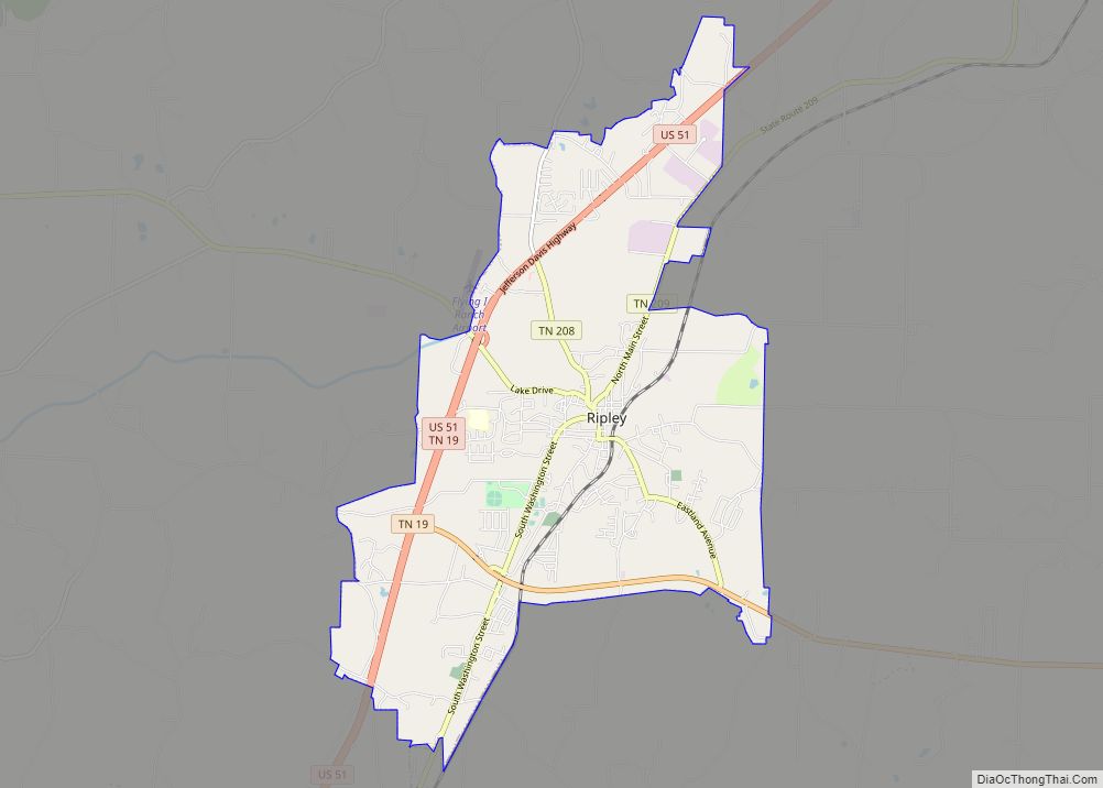
Online Interactive Map
Click on ![]() to view map in "full screen" mode.
to view map in "full screen" mode.
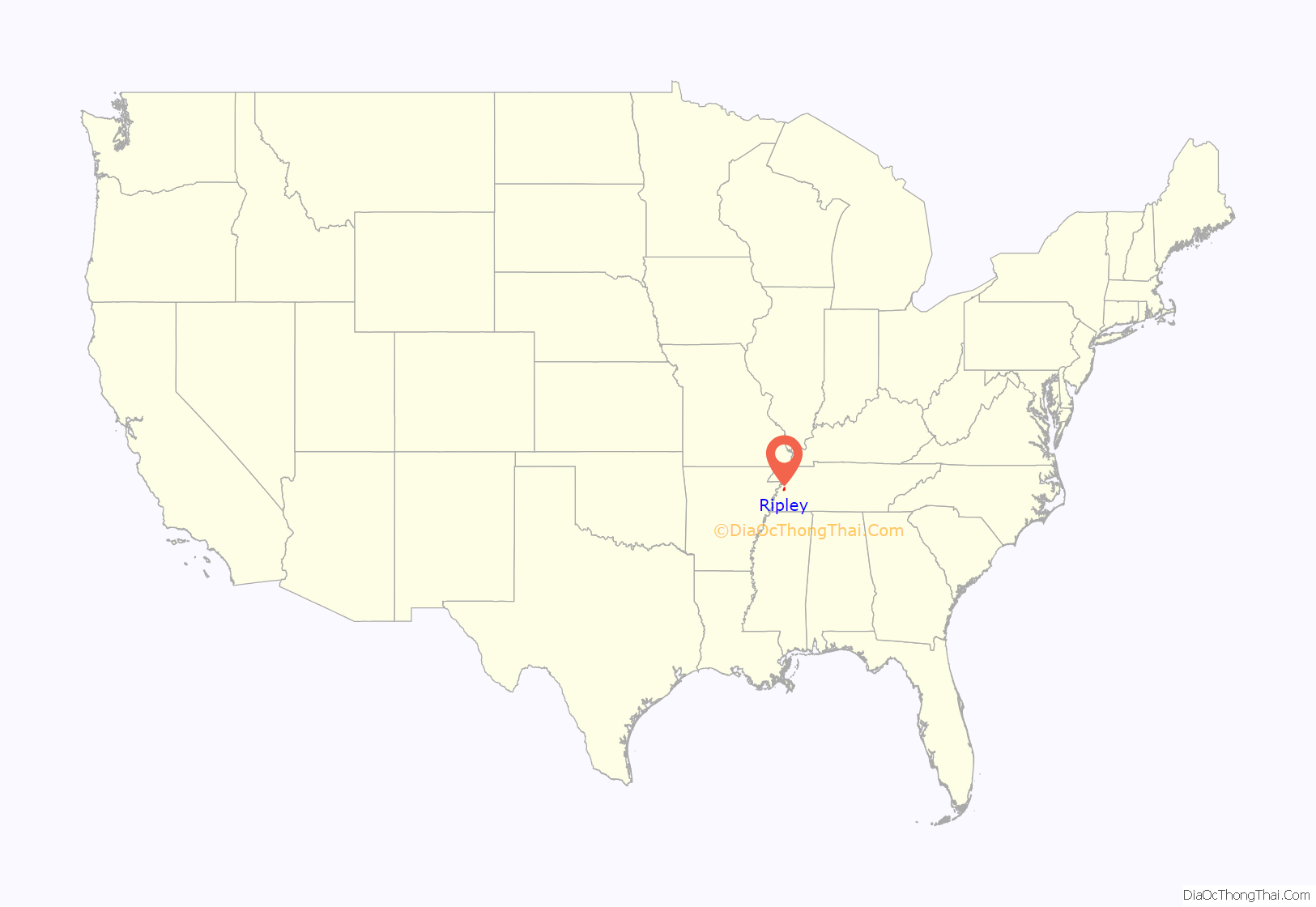
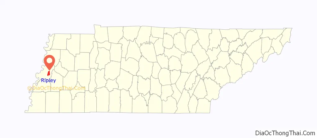
Ripley location map. Where is Ripley city?
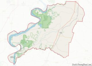
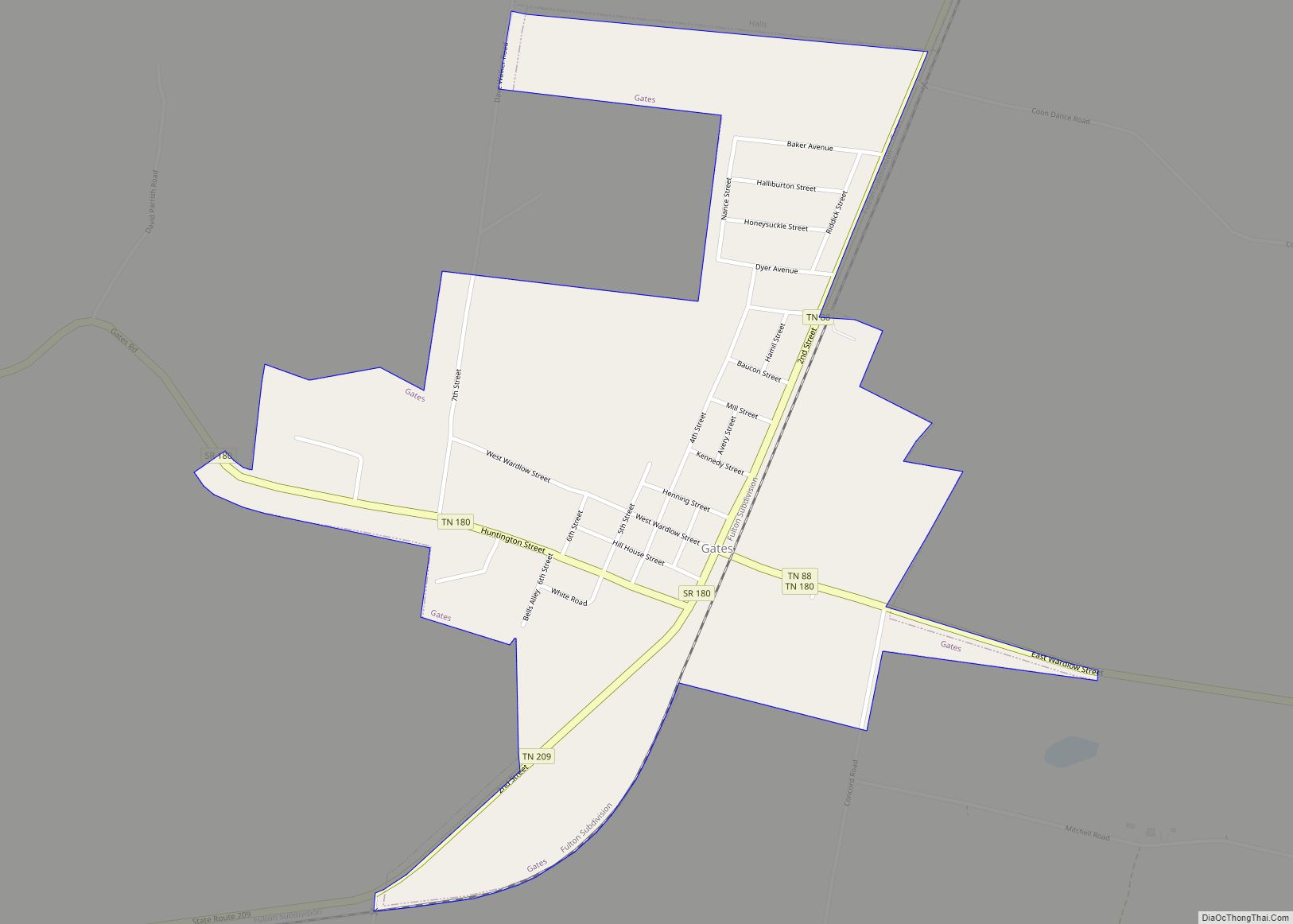
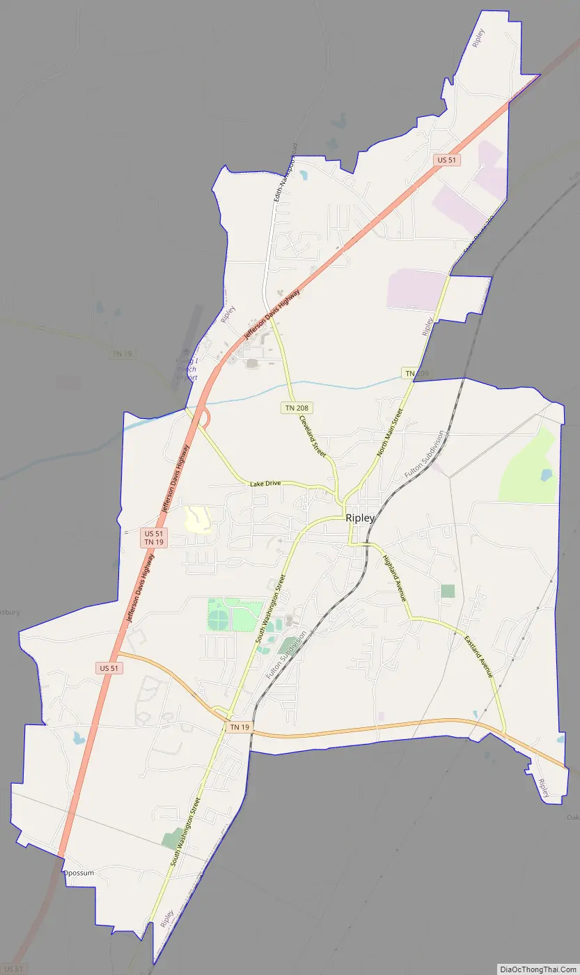
Ripley Road Map
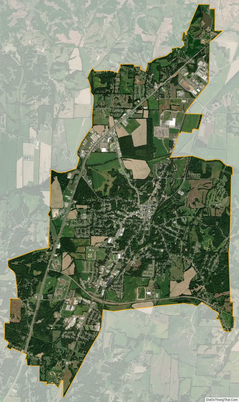
Ripley city Satellite Map
Geography
Ripley is located at 35°44′35″N 89°32′2″W / 35.74306°N 89.53389°W / 35.74306; -89.53389 (35.743115, −89.533872).
According to the United States Census Bureau, the city has a total area of 12.9 square miles (33 km), of which 12.8 square miles (33 km) is land and 0.04 square miles (0.10 km) (0.31%) is water.
Ripley is located on the southeastern edge of the New Madrid Seismic Zone, an area with a high earthquake risk.
See also
Map of Tennessee State and its subdivision:- Anderson
- Bedford
- Benton
- Bledsoe
- Blount
- Bradley
- Campbell
- Cannon
- Carroll
- Carter
- Cheatham
- Chester
- Claiborne
- Clay
- Cocke
- Coffee
- Crockett
- Cumberland
- Davidson
- Decatur
- DeKalb
- Dickson
- Dyer
- Fayette
- Fentress
- Franklin
- Gibson
- Giles
- Grainger
- Greene
- Grundy
- Hamblen
- Hamilton
- Hancock
- Hardeman
- Hardin
- Hawkins
- Haywood
- Henderson
- Henry
- Hickman
- Houston
- Humphreys
- Jackson
- Jefferson
- Johnson
- Knox
- Lake
- Lauderdale
- Lawrence
- Lewis
- Lincoln
- Loudon
- Macon
- Madison
- Marion
- Marshall
- Maury
- McMinn
- McNairy
- Meigs
- Monroe
- Montgomery
- Moore
- Morgan
- Obion
- Overton
- Perry
- Pickett
- Polk
- Putnam
- Rhea
- Roane
- Robertson
- Rutherford
- Scott
- Sequatchie
- Sevier
- Shelby
- Smith
- Stewart
- Sullivan
- Sumner
- Tipton
- Trousdale
- Unicoi
- Union
- Van Buren
- Warren
- Washington
- Wayne
- Weakley
- White
- Williamson
- Wilson
- Alabama
- Alaska
- Arizona
- Arkansas
- California
- Colorado
- Connecticut
- Delaware
- District of Columbia
- Florida
- Georgia
- Hawaii
- Idaho
- Illinois
- Indiana
- Iowa
- Kansas
- Kentucky
- Louisiana
- Maine
- Maryland
- Massachusetts
- Michigan
- Minnesota
- Mississippi
- Missouri
- Montana
- Nebraska
- Nevada
- New Hampshire
- New Jersey
- New Mexico
- New York
- North Carolina
- North Dakota
- Ohio
- Oklahoma
- Oregon
- Pennsylvania
- Rhode Island
- South Carolina
- South Dakota
- Tennessee
- Texas
- Utah
- Vermont
- Virginia
- Washington
- West Virginia
- Wisconsin
- Wyoming