Map of Stanton town, Tennessee

Map of Stanton town, Tennessee

Stanton is a town in Haywood County, Tennessee. The population was 615 as of the 2000 census and 452 at the 2010 census, showing a population decrease of 163. Stanton town overview: Name: Stanton town LSAD Code: 43 LSAD Description: town (suffix) State: Tennessee County: Haywood County Elevation: 315 ft (96 m) Total Area: 0.52 sq mi (1.34 km²) Land … Read more

Map of St. Joseph city, Tennessee

Map of St. Joseph city, Tennessee

Saint Joseph (usually shortened to St. Joseph) is a city in Lawrence County, Tennessee, United States. The population was 782 at the 2010 census, down from 829 in 2000. St. Joseph city overview: Name: St. Joseph city LSAD Code: 25 LSAD Description: city (suffix) State: Tennessee County: Lawrence County Elevation: 794 ft (242 m) Total Area: 3.77 sq mi … Read more

Map of Spurgeon CDP, Tennessee

Map of Spurgeon CDP, Tennessee

Spurgeon is a census-designated place (CDP) in Sullivan and Washington counties in the U.S. state of Tennessee. The population was 3,957 at the 2010 census. The Washington County portion of Spurgeon is part of the Johnson City Metropolitan Statistical Area, while the Sullivan County portion is part of the Kingsport–Bristol (TN)–Bristol (VA) Metropolitan Statistical Area. … Read more

Map of Springfield city, Tennessee

Map of Springfield city, Tennessee

Springfield is a city in and the county seat of Robertson County, which is located in Middle Tennessee on the northern border of the state. As of the 2020 census, the city’s population was 18,782. Springfield city overview: Name: Springfield city LSAD Code: 25 LSAD Description: city (suffix) State: Tennessee County: Robertson County Elevation: 666 ft … Read more

Map of Spring Hill city, Tennessee

Map of Spring Hill city, Tennessee

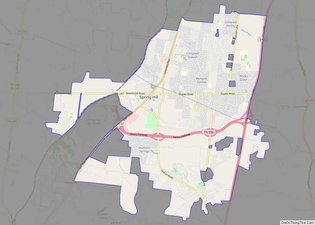
Spring Hill is a city in Maury and Williamson counties, Tennessee, located approximately 30 miles (48 km) south of Nashville. Spring Hill’s population as of 2020 was 50,005. Spring Hill is recognized as the 4th fastest growing city in Tennessee by the U.S. Census Bureau and is included in the Nashville metropolitan area. Spring Hill city … Read more

Map of Tazewell town

Map of Tazewell town, Tennessee

Tazewell is a town in and the county seat of Claiborne County, Tennessee, United States. The population was 2,165 at the 2000 census and 2,218 at the 2010 census, and 2,348 at the 2020 census. The town is named for Tazewell, Virginia, which itself was named for Henry Tazewell (1753–1799), a U.S. senator from Virginia. … Read more

Map of Townsend city, Tennessee

Map of Townsend city, Tennessee

Townsend is a city in Blount County, Tennessee, in the southeastern United States. The city was chartered in 1921 by persons who were involved with the Little River Railroad and Lumber Company. The population was 244 at the 2000 census and 448 at the 2010 census. For thousands of years a site of Native American … Read more

Map of Toone town

Map of Toone town

Toone is a town in Hardeman County, Tennessee, United States. The population was 364 at the 2010 census. Toone town overview: Name: Toone town LSAD Code: 43 LSAD Description: town (suffix) State: Tennessee County: Hardeman County Incorporated: 1903 Elevation: 410 ft (125 m) Total Area: 1.07 sq mi (2.79 km²) Land Area: 1.07 sq mi (2.79 km²) Water Area: 0.00 sq mi (0.00 km²) Total Population: … Read more

Map of Tiptonville town

Map of Tiptonville town

Tiptonville is a town in and the county seat of Lake County, Tennessee, United States. Its population was 2,439 as of the 2000 census and 4,464 in 2010, showing an increase of 2,025. It is also home to the Northwest Correctional Complex, a maximum security prison, known for once housing mass murderer Jessie Dotson. Tiptonville … Read more

Map of Three Way city

Map of Three Way city

Three Way is a city in Madison County, Tennessee. The population was 1,709 at the 2010 census. It is included in the Jackson, Tennessee Metropolitan Statistical Area. Before the city was officially incorporated in 1998, the area was commonly known as “Three Way” for a number of years because of the split by U.S. Route … Read more

Map of Thompson's Station town

Map of Thompson’s Station town

Thompson’s Station is a town in Williamson County, Tennessee. The population has grown from 2,194 at the 2010 Census to 7,485 in the 2020 Census. Several locations in Thompson’s Station listed on the U.S. National Register of Historic Places include the Jacob Critz House and the Thomas L. Critz House, Thompson’s Station Bank, John Neely … Read more

Map of Tennessee Ridge town

Map of Tennessee Ridge town

Tennessee Ridge is a town in Houston and Stewart counties in the U.S. state of Tennessee. The population was 1,332 at the 2020 census and 1,368 at the 2010 census. The Stewart County portion of Tennessee Ridge is part of the Clarksville, TN–KY Metropolitan Statistical Area. Tennessee Ridge town overview: Name: Tennessee Ridge town LSAD … Read more