Spring Hill is a city in Maury and Williamson counties, Tennessee, located approximately 30 miles (48 km) south of Nashville. Spring Hill’s population as of 2020 was 50,005. Spring Hill is recognized as the 4th fastest growing city in Tennessee by the U.S. Census Bureau and is included in the Nashville metropolitan area.
| Name: | Spring Hill city |
|---|---|
| LSAD Code: | 25 |
| LSAD Description: | city (suffix) |
| State: | Tennessee |
| County: | Maury County, Williamson County |
| Elevation: | 751 ft (229 m) |
| Total Area: | 29.14 sq mi (75.47 km²) |
| Land Area: | 29.09 sq mi (75.35 km²) |
| Water Area: | 0.05 sq mi (0.12 km²) |
| Total Population: | 50,005 |
| Population Density: | 1,718.74/sq mi (663.61/km²) |
| ZIP code: | 37174 also includes portion of 37179 |
| Area code: | 931 615 |
| FIPS code: | 4770580 |
| GNISfeature ID: | 1303764 |
| Website: | www.springhilltn.org |
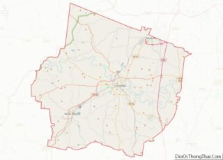
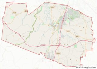
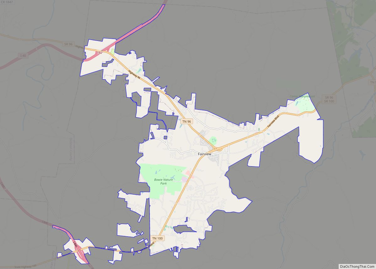
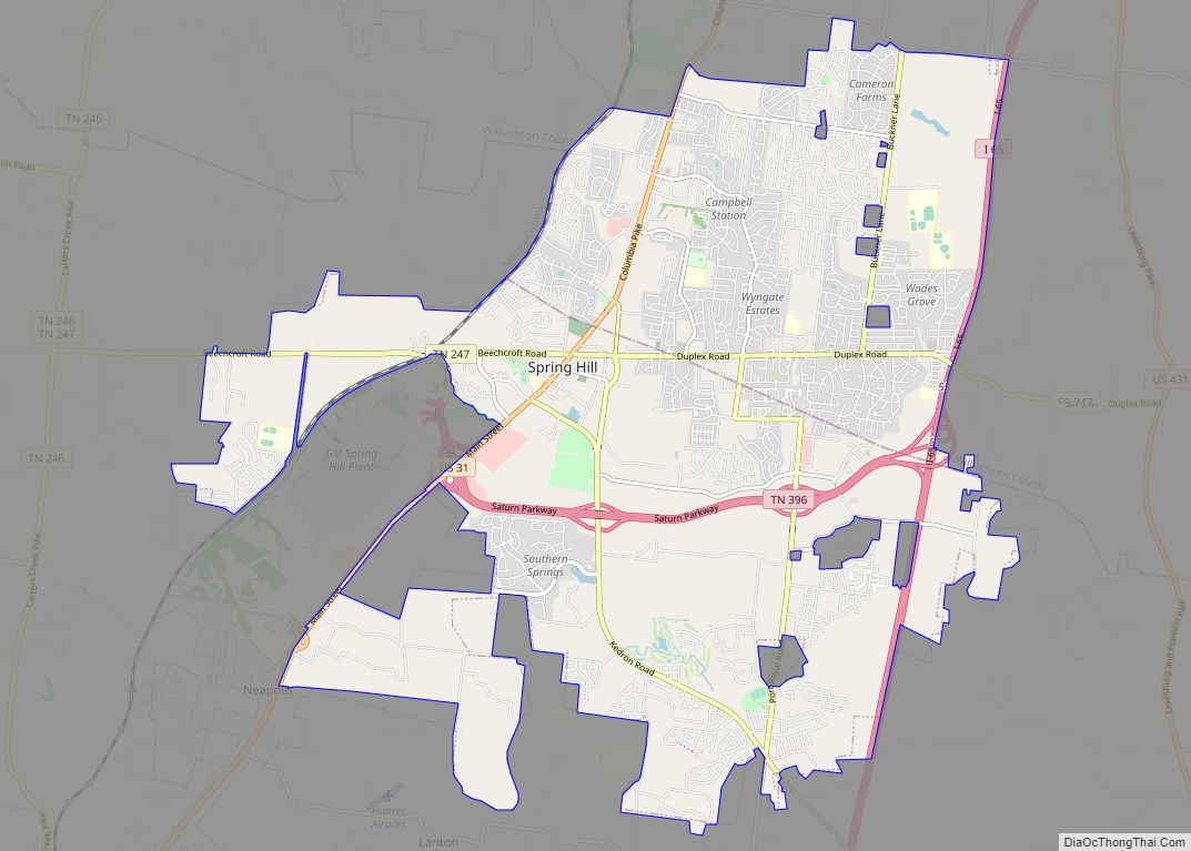
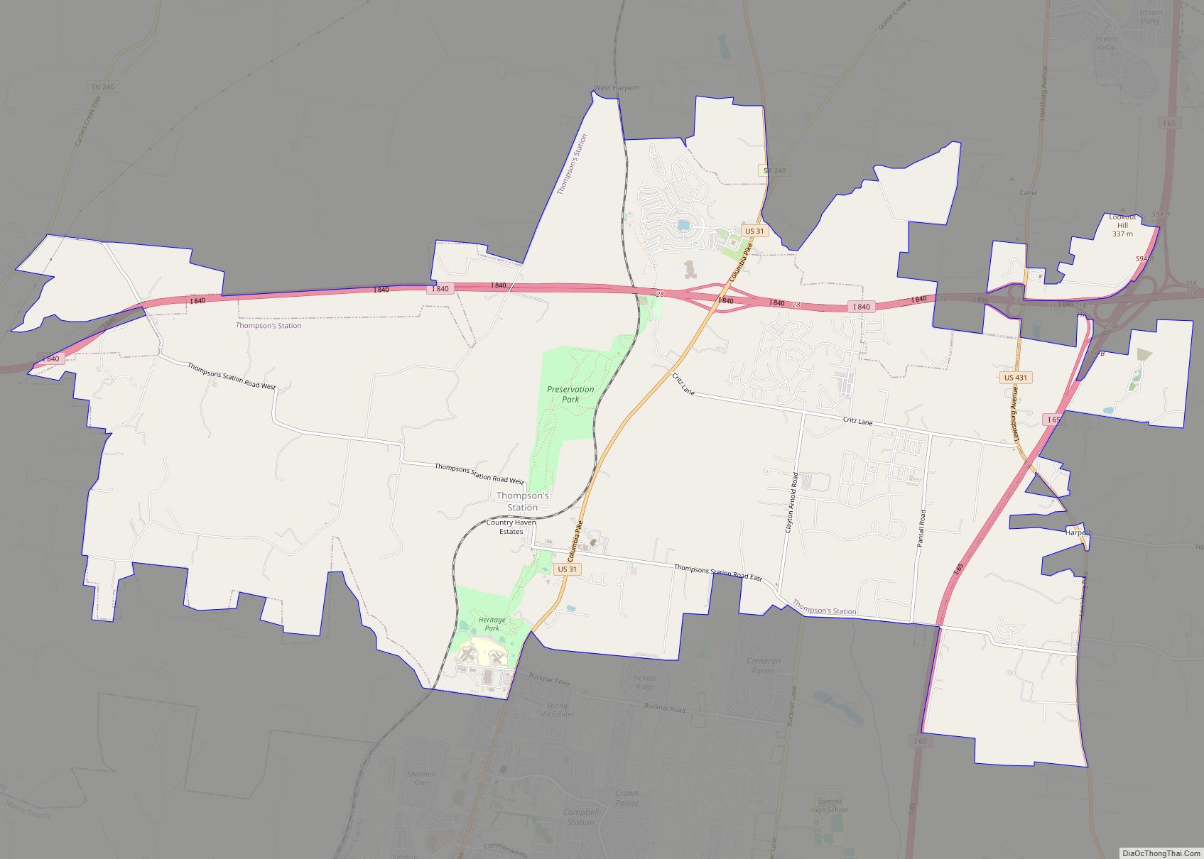
Online Interactive Map
Click on ![]() to view map in "full screen" mode.
to view map in "full screen" mode.
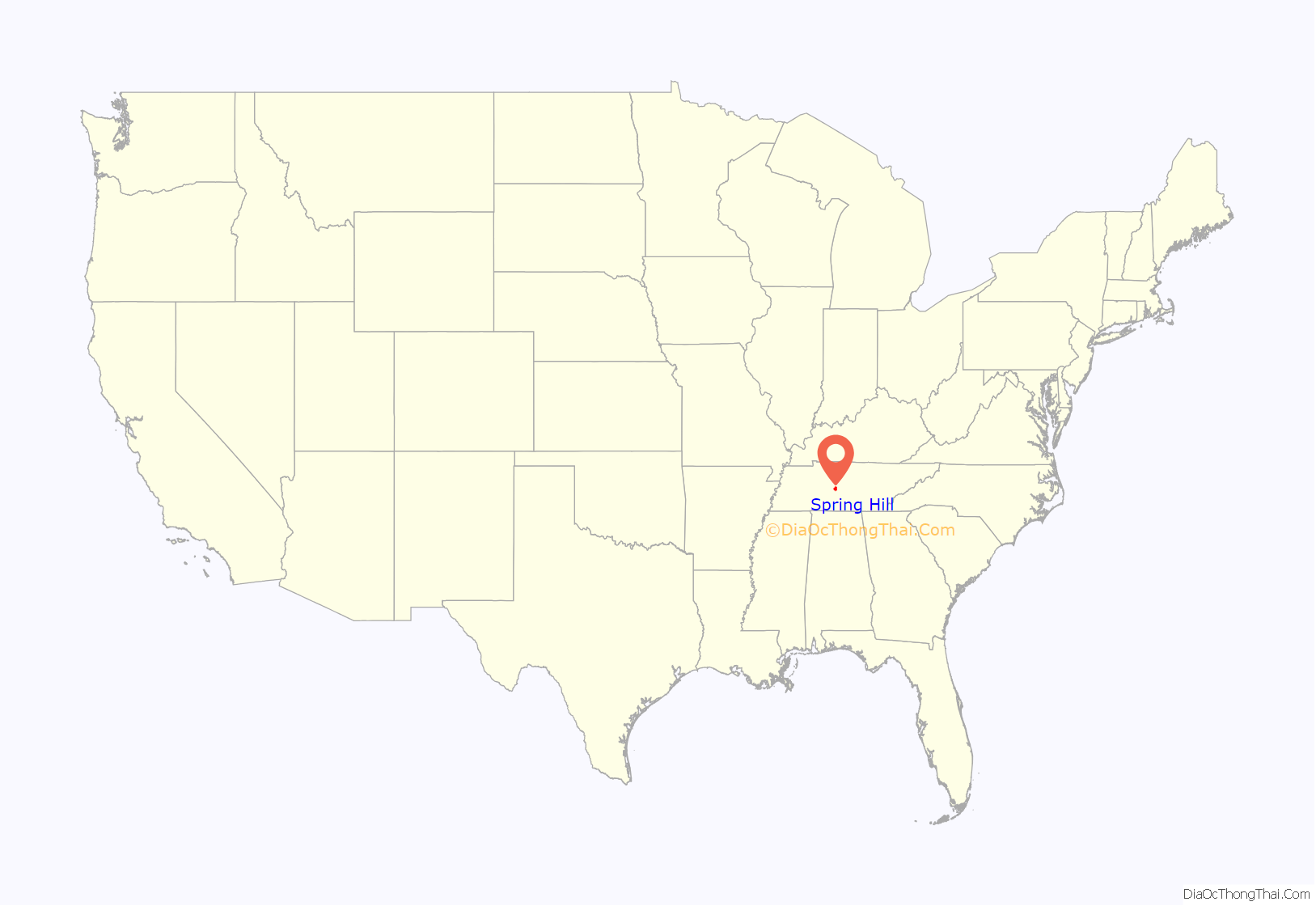
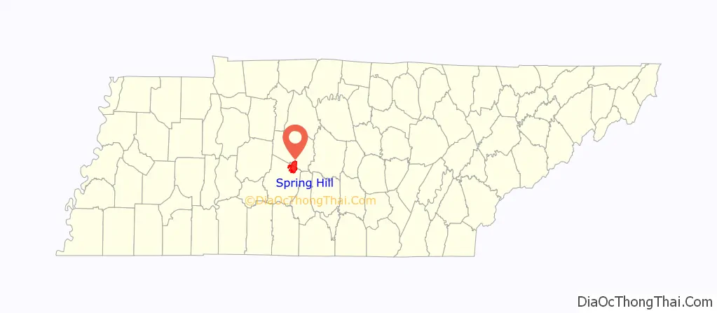
Spring Hill location map. Where is Spring Hill city?
History
The first settlers of Spring Hill arrived in 1808 and the city was established in 1809. Albert Russell was the first person to build a home on the land that became Spring Hill.
Spring Hill was the site of a Civil War battle, now known as the Battle of Spring Hill, on November 29, 1864.
Later, Spring Hill was the home of a preparatory school, Branham and Hughes Military Academy, the campus of which now serves as the main campus of Tennessee Children’s Home, a ministry associated with the Churches of Christ.
On January 10, 1963, an F3 tornado tore through the center of the town, damaging many buildings and causing $500,000 in damage.
Recent growth
As the Nashville metro area continues to grow, Spring Hill has seen rapid growth in recent years with a population of 23,462 in 2007, a 2010 census population of 29,036 and a population of 31,140 in 2012. In 2018, Spring Hill officially hit 40,000 residents.
In November, 2015, the Spring Hill Board of Mayor and Aldermen approved the ‘Spring Hill Rising: 2040’ comprehensive plan. The plan outlines the city’s long-term development vision and ways to accomplish that vision. In 2016, the city hired Chicago-based planning and zoning consultant, Camiros Ltd, to oversee the creation of a new zoning code to implement the vision described in ‘Spring Hill Rising: 2040’.
On December 4, 2017, entities building a Chick-fil-A tore down a grain silo. A memorial plaque to the silo opened in 2018. The silo had no major recorded history but was perceived by the town community as a landmark that signaled the beginning of the town. The idea of the memorial was originally posited as a joke but became serious.
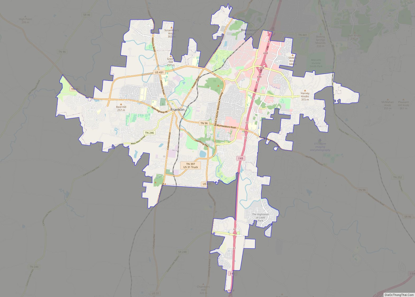
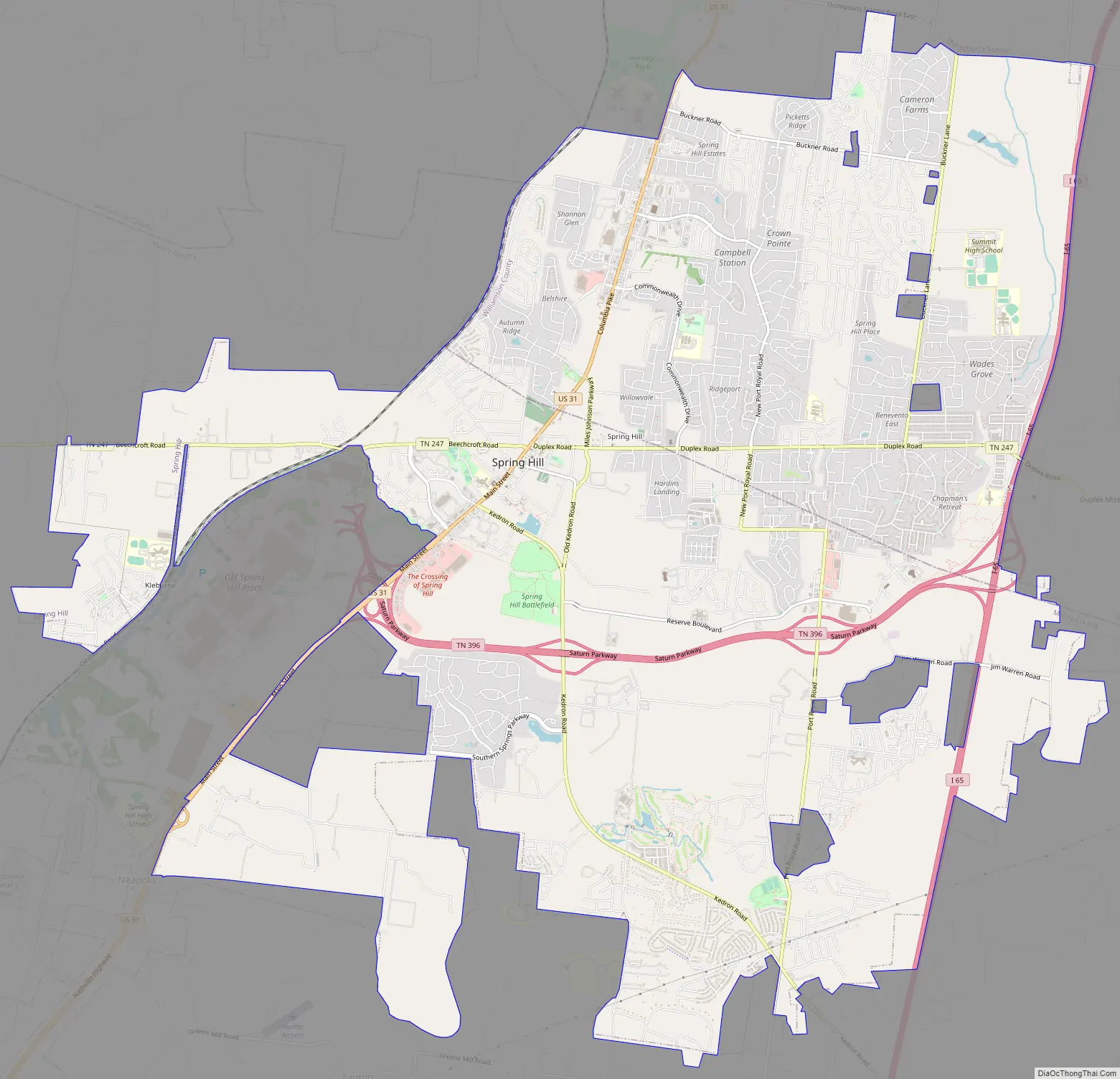
Spring Hill Road Map
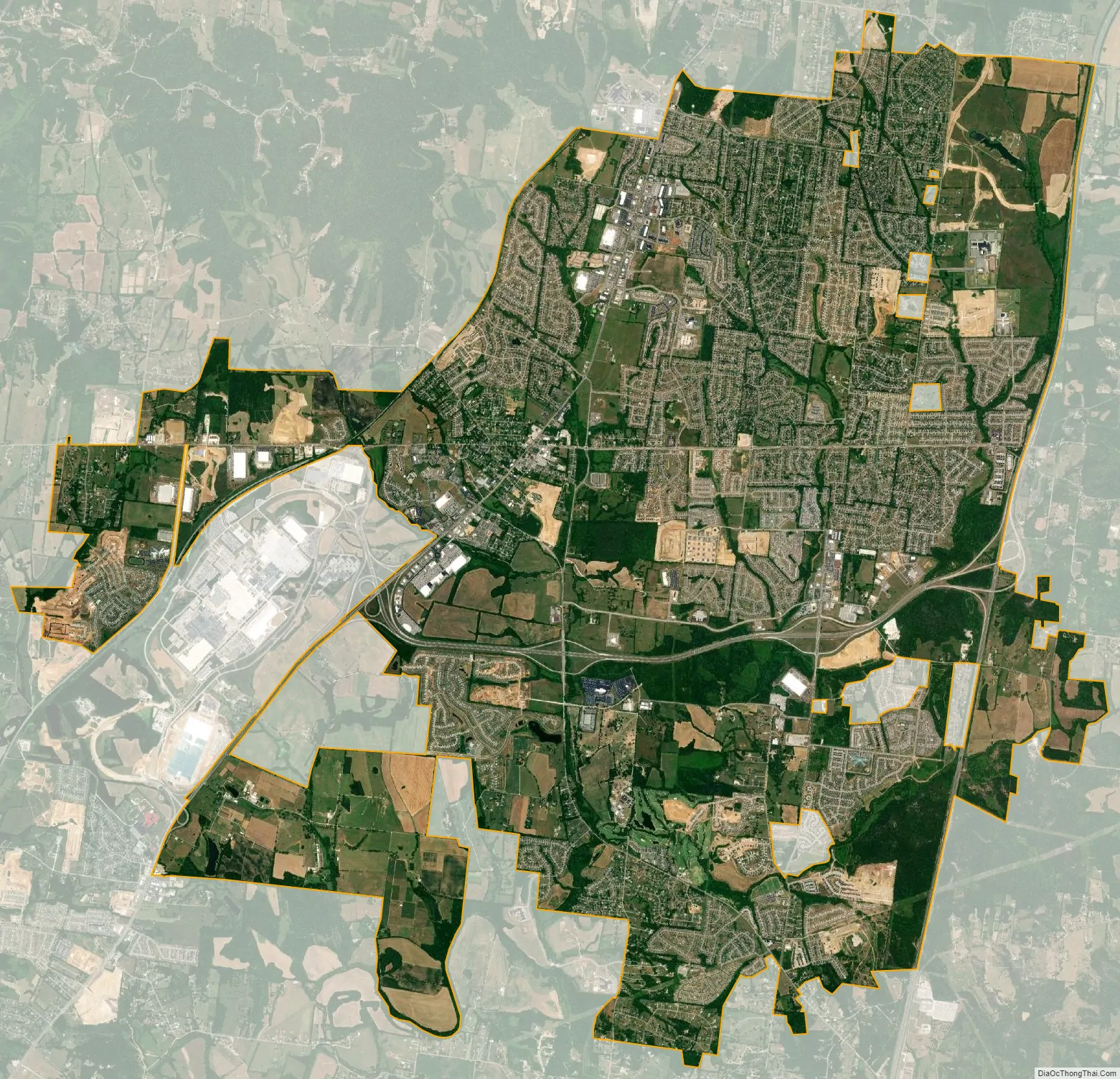
Spring Hill city Satellite Map
Geography
Spring Hill is located at 35°45′9″N 86°54′50″W / 35.75250°N 86.91389°W / 35.75250; -86.91389 (35.752556, -86.914021).
According to the United States Census Bureau, the city has a total area of 29.14 square miles (75.47 km), of which 29.09 square miles (75.35 km) is land and 0.05 square mile (0.12 km) (0.17%) is water.
See also
Map of Tennessee State and its subdivision:- Anderson
- Bedford
- Benton
- Bledsoe
- Blount
- Bradley
- Campbell
- Cannon
- Carroll
- Carter
- Cheatham
- Chester
- Claiborne
- Clay
- Cocke
- Coffee
- Crockett
- Cumberland
- Davidson
- Decatur
- DeKalb
- Dickson
- Dyer
- Fayette
- Fentress
- Franklin
- Gibson
- Giles
- Grainger
- Greene
- Grundy
- Hamblen
- Hamilton
- Hancock
- Hardeman
- Hardin
- Hawkins
- Haywood
- Henderson
- Henry
- Hickman
- Houston
- Humphreys
- Jackson
- Jefferson
- Johnson
- Knox
- Lake
- Lauderdale
- Lawrence
- Lewis
- Lincoln
- Loudon
- Macon
- Madison
- Marion
- Marshall
- Maury
- McMinn
- McNairy
- Meigs
- Monroe
- Montgomery
- Moore
- Morgan
- Obion
- Overton
- Perry
- Pickett
- Polk
- Putnam
- Rhea
- Roane
- Robertson
- Rutherford
- Scott
- Sequatchie
- Sevier
- Shelby
- Smith
- Stewart
- Sullivan
- Sumner
- Tipton
- Trousdale
- Unicoi
- Union
- Van Buren
- Warren
- Washington
- Wayne
- Weakley
- White
- Williamson
- Wilson
- Alabama
- Alaska
- Arizona
- Arkansas
- California
- Colorado
- Connecticut
- Delaware
- District of Columbia
- Florida
- Georgia
- Hawaii
- Idaho
- Illinois
- Indiana
- Iowa
- Kansas
- Kentucky
- Louisiana
- Maine
- Maryland
- Massachusetts
- Michigan
- Minnesota
- Mississippi
- Missouri
- Montana
- Nebraska
- Nevada
- New Hampshire
- New Jersey
- New Mexico
- New York
- North Carolina
- North Dakota
- Ohio
- Oklahoma
- Oregon
- Pennsylvania
- Rhode Island
- South Carolina
- South Dakota
- Tennessee
- Texas
- Utah
- Vermont
- Virginia
- Washington
- West Virginia
- Wisconsin
- Wyoming