Sweetwater is a city in Monroe and McMinn counties in the U.S. state of Tennessee, and the most populous city in Monroe County. The population was 5,764 at the 2010 census and 6,312 at the 2020 census. Sweetwater is the home of the Craighead Caverns which contains the Lost Sea, the United States’ largest underground lake. In 2022, TravelMag named Sweetwater one of Tennessee’s Ten Most Charming Cities.
| Name: | Sweetwater city |
|---|---|
| LSAD Code: | 25 |
| LSAD Description: | city (suffix) |
| State: | Tennessee |
| County: | McMinn County, Monroe County |
| Incorporated: | 1875 |
| Elevation: | 915 ft (279 m) |
| Total Area: | 8.85 sq mi (22.92 km²) |
| Land Area: | 8.84 sq mi (22.89 km²) |
| Water Area: | 0.01 sq mi (0.03 km²) |
| Total Population: | 6,312 |
| Population Density: | 714.27/sq mi (275.79/km²) |
| ZIP code: | 37874 |
| Area code: | 423 |
| FIPS code: | 4772540 |
| GNISfeature ID: | 1303970 |
| Website: | www.sweetwatertn.net |
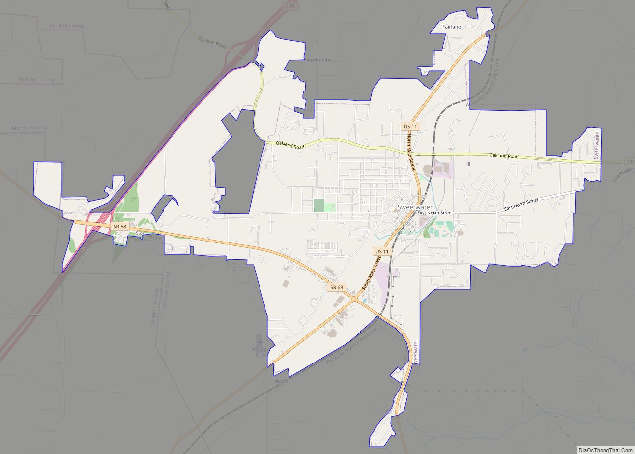
Online Interactive Map
Click on ![]() to view map in "full screen" mode.
to view map in "full screen" mode.
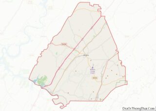
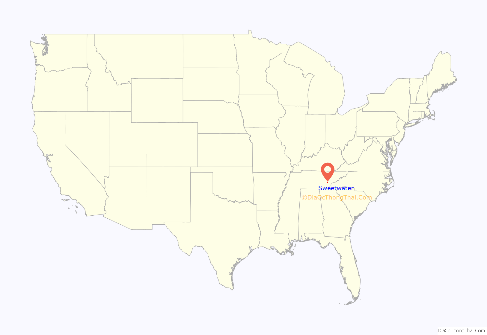
Sweetwater location map. Where is Sweetwater city?

History
A legend states that the town’s name originated from settlers’ descriptions of area springs.
Sweetwater was established in the 1850s on a series of lots sold by Isaac Lenoir (1807–1875), a local politician and son of the founder of Lenoir City (located a few miles to the northeast in Loudon County). Sweetwater was officially incorporated in 1875.
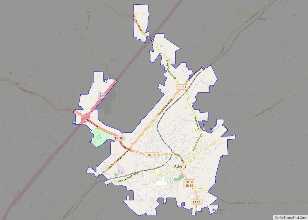
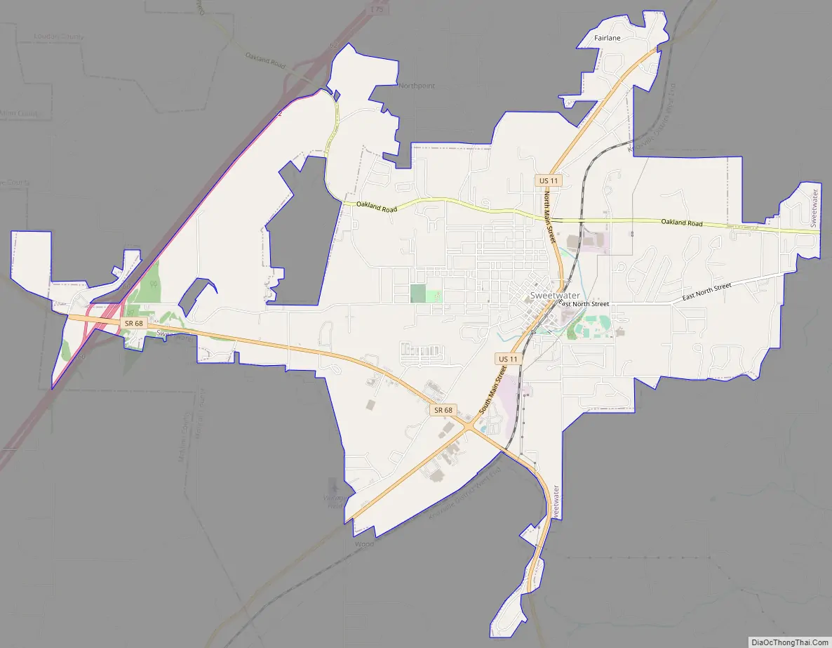
Sweetwater Road Map
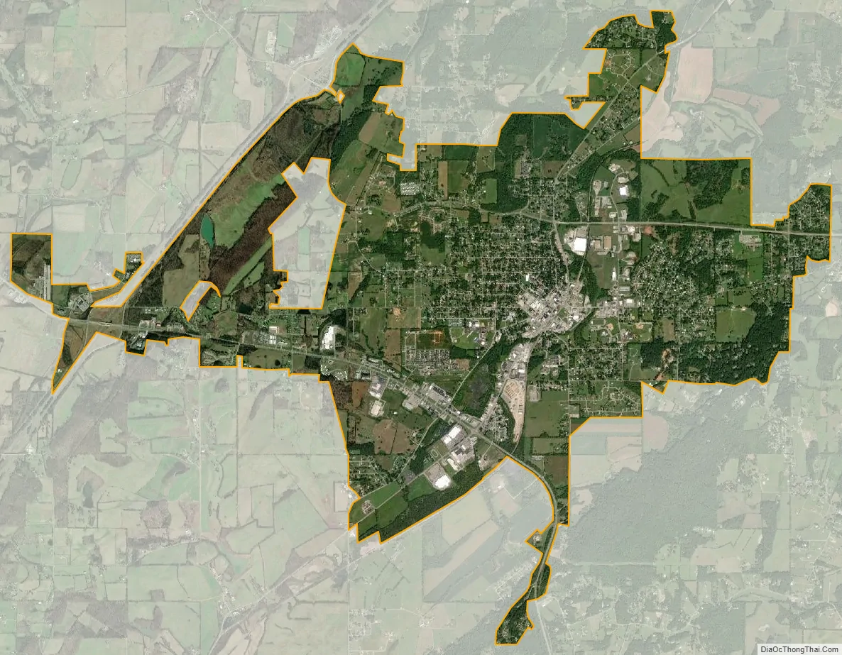
Sweetwater city Satellite Map
Geography
Sweetwater is located at 35°36′9″N 84°28′1″W / 35.60250°N 84.46694°W / 35.60250; -84.46694 (35.602604, -84.466992). The city lies along Sweetwater Creek, which flows northeast for several miles before emptying into the Watts Bar Lake impoundment of the Tennessee River. The creek’s drainage has created a lowland area known as Sweetwater Valley, which is surrounded by low hills.
Sweetwater is centered along U.S. Route 11 between its junction with State Route 68 to the south and State Route 322 to the north. Interstate 75 passes along the western boundary of Sweetwater.
According to the United States Census Bureau, the city has a total area of 6.9 square miles (18 km), all land.
Sweetwater is located in a valley amidst the foothills of the Great Smoky Mountains, and is surrounded by farmland.
See also
Map of Tennessee State and its subdivision:- Anderson
- Bedford
- Benton
- Bledsoe
- Blount
- Bradley
- Campbell
- Cannon
- Carroll
- Carter
- Cheatham
- Chester
- Claiborne
- Clay
- Cocke
- Coffee
- Crockett
- Cumberland
- Davidson
- Decatur
- DeKalb
- Dickson
- Dyer
- Fayette
- Fentress
- Franklin
- Gibson
- Giles
- Grainger
- Greene
- Grundy
- Hamblen
- Hamilton
- Hancock
- Hardeman
- Hardin
- Hawkins
- Haywood
- Henderson
- Henry
- Hickman
- Houston
- Humphreys
- Jackson
- Jefferson
- Johnson
- Knox
- Lake
- Lauderdale
- Lawrence
- Lewis
- Lincoln
- Loudon
- Macon
- Madison
- Marion
- Marshall
- Maury
- McMinn
- McNairy
- Meigs
- Monroe
- Montgomery
- Moore
- Morgan
- Obion
- Overton
- Perry
- Pickett
- Polk
- Putnam
- Rhea
- Roane
- Robertson
- Rutherford
- Scott
- Sequatchie
- Sevier
- Shelby
- Smith
- Stewart
- Sullivan
- Sumner
- Tipton
- Trousdale
- Unicoi
- Union
- Van Buren
- Warren
- Washington
- Wayne
- Weakley
- White
- Williamson
- Wilson
- Alabama
- Alaska
- Arizona
- Arkansas
- California
- Colorado
- Connecticut
- Delaware
- District of Columbia
- Florida
- Georgia
- Hawaii
- Idaho
- Illinois
- Indiana
- Iowa
- Kansas
- Kentucky
- Louisiana
- Maine
- Maryland
- Massachusetts
- Michigan
- Minnesota
- Mississippi
- Missouri
- Montana
- Nebraska
- Nevada
- New Hampshire
- New Jersey
- New Mexico
- New York
- North Carolina
- North Dakota
- Ohio
- Oklahoma
- Oregon
- Pennsylvania
- Rhode Island
- South Carolina
- South Dakota
- Tennessee
- Texas
- Utah
- Vermont
- Virginia
- Washington
- West Virginia
- Wisconsin
- Wyoming