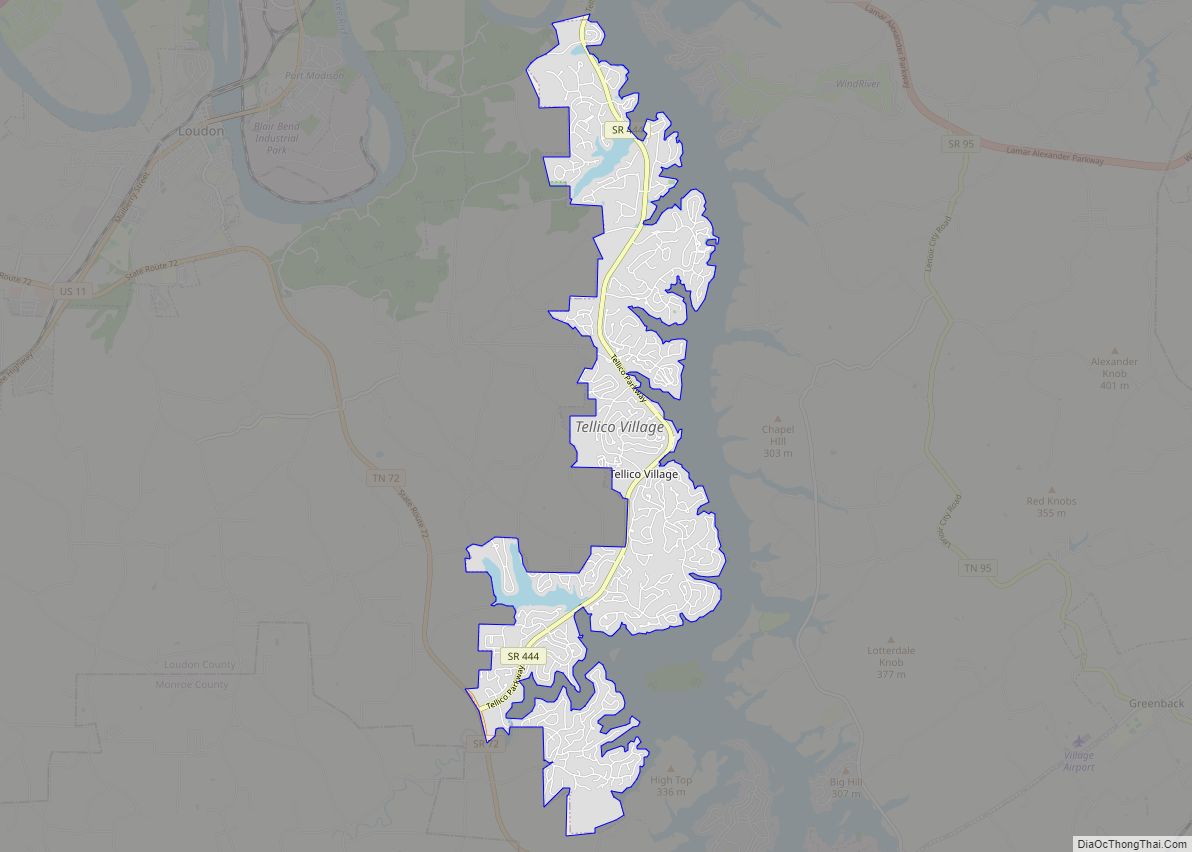
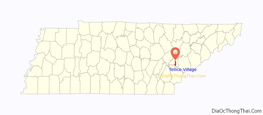
Tellico Village is an unincorporated planned community, and census-designated place on the western shore of Tellico Reservoir in Loudon County, Tennessee, United States, about 30 miles (48 km) southwest of Knoxville. Its population was 5,791 as of the 2010 census.
Tellico Village is a planned retirement community. Governmental functions are managed by the Tellico Village Property Owners Association.
| Name: | Tellico Village CDP |
|---|---|
| LSAD Code: | 57 |
| LSAD Description: | CDP (suffix) |
| State: | Tennessee |
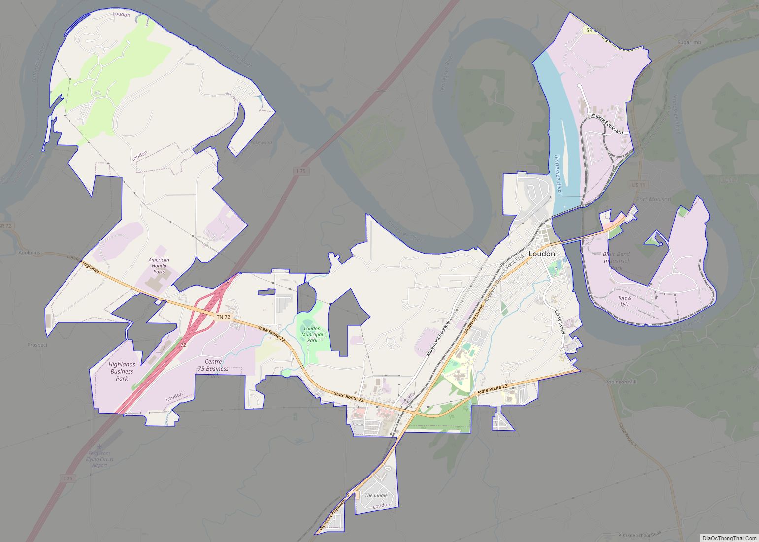
| County: | Loudon County |
| Elevation: | 892 ft (272 m) |
| Total Area: | 10.10 sq mi (26.16 km²) |
| Land Area: | 7.46 sq mi (19.31 km²) |
| Water Area: | 2.65 sq mi (6.85 km²) |
| Total Population: | 7,311 |
| Population Density: | 980.55/sq mi (378.62/km²) |
| ZIP code: | 37774 and 37885 |
| Area code: | 865 and 423 |
| FIPS code: | 4773270 |
| GNISfeature ID: | 2584594 |
Online Interactive Map
Click on ![]() to view map in "full screen" mode.
to view map in "full screen" mode.
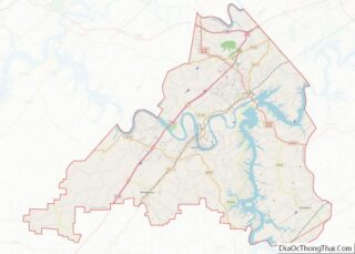
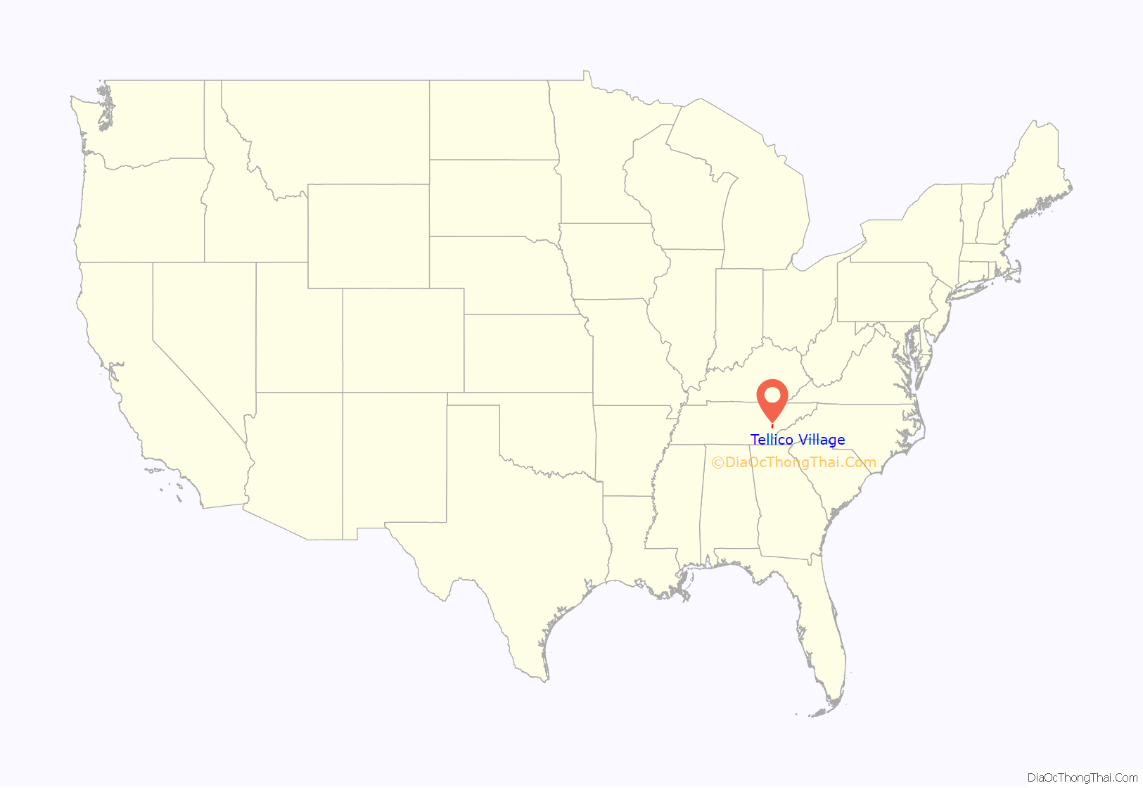
Tellico Village location map. Where is Tellico Village CDP?
History
The origins of Tellico Village date back to the late 1960s with the plan known as Timberlake, a planned city that would have been located along the shores of the Tellico Reservoir in Loudon, Blount, and Monroe counties, and the communities of Tellico Village, Greenback, and Vonore. The city, would have been able to support a population base of roughly 30,000 residents, and provide employment opportunities with commercial and industrial developments.
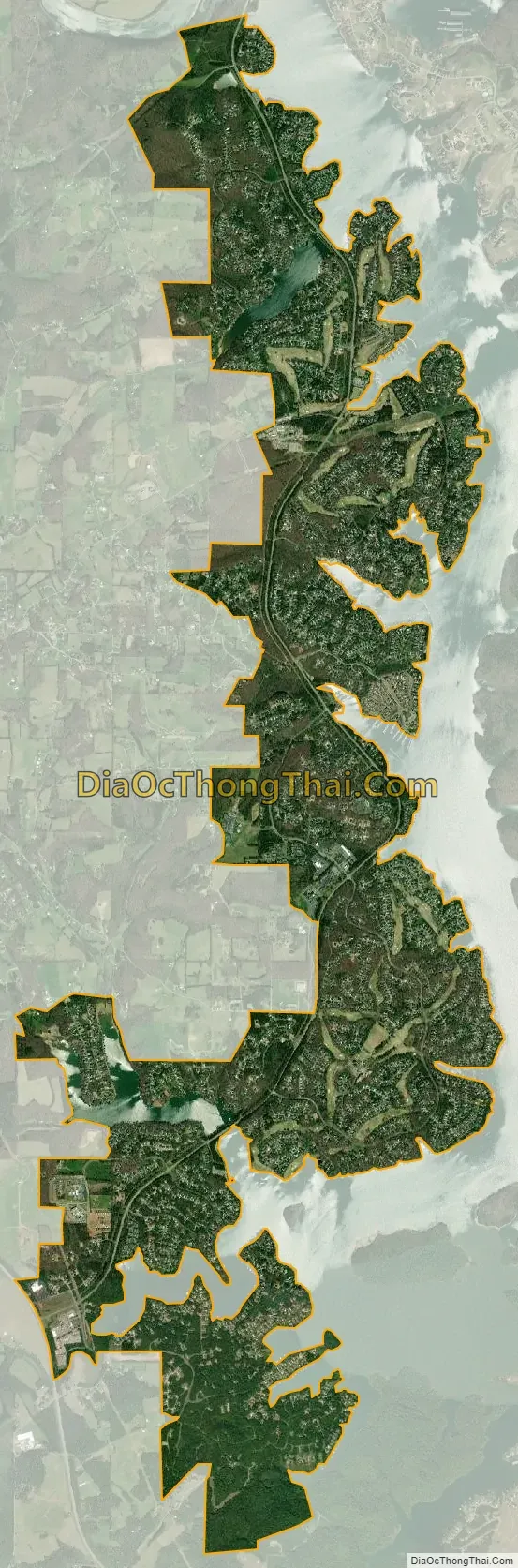
Tellico Village was created along the shores of Tellico Lake, which was formed due to the Tennessee Valley Authority (TVA) damming the Little Tennessee River at its confluence with the Tennessee River. Tellico Dam was completed in November 1979 after a long battle, which involved the Endangered Species Act of 1973 and a fish called the snail darter. As part of the project, the TVA acquired additional land above the high water line of the reservoir (Tellico Lake), much of it taken by eminent domain. Part of this additional land was later sold to Cooper Communities, Inc., which established Tellico Village in 1986.
Tellico Village Road Map

Tellico Village city Satellite Map
See also
Map of Tennessee State and its subdivision:- Anderson
- Bedford
- Benton
- Bledsoe
- Blount
- Bradley
- Campbell
- Cannon
- Carroll
- Carter
- Cheatham
- Chester
- Claiborne
- Clay
- Cocke
- Coffee
- Crockett
- Cumberland
- Davidson
- Decatur
- DeKalb
- Dickson
- Dyer
- Fayette
- Fentress
- Franklin
- Gibson
- Giles
- Grainger
- Greene
- Grundy
- Hamblen
- Hamilton
- Hancock
- Hardeman
- Hardin
- Hawkins
- Haywood
- Henderson
- Henry
- Hickman
- Houston
- Humphreys
- Jackson
- Jefferson
- Johnson
- Knox
- Lake
- Lauderdale
- Lawrence
- Lewis
- Lincoln
- Loudon
- Macon
- Madison
- Marion
- Marshall
- Maury
- McMinn
- McNairy
- Meigs
- Monroe
- Montgomery
- Moore
- Morgan
- Obion
- Overton
- Perry
- Pickett
- Polk
- Putnam
- Rhea
- Roane
- Robertson
- Rutherford
- Scott
- Sequatchie
- Sevier
- Shelby
- Smith
- Stewart
- Sullivan
- Sumner
- Tipton
- Trousdale
- Unicoi
- Union
- Van Buren
- Warren
- Washington
- Wayne
- Weakley
- White
- Williamson
- Wilson
- Alabama
- Alaska
- Arizona
- Arkansas
- California
- Colorado
- Connecticut
- Delaware
- District of Columbia
- Florida
- Georgia
- Hawaii
- Idaho
- Illinois
- Indiana
- Iowa
- Kansas
- Kentucky
- Louisiana
- Maine
- Maryland
- Massachusetts
- Michigan
- Minnesota
- Mississippi
- Missouri
- Montana
- Nebraska
- Nevada
- New Hampshire
- New Jersey
- New Mexico
- New York
- North Carolina
- North Dakota
- Ohio
- Oklahoma
- Oregon
- Pennsylvania
- Rhode Island
- South Carolina
- South Dakota
- Tennessee
- Texas
- Utah
- Vermont
- Virginia
- Washington
- West Virginia
- Wisconsin
- Wyoming