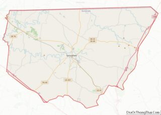
Springfield is a city in and the county seat of Robertson County, which is located in Middle Tennessee on the northern border of the state. As of the 2020 census, the city’s population was 18,782.
| Name: | Springfield city |
|---|---|
| LSAD Code: | 25 |
| LSAD Description: | city (suffix) |
| State: | Tennessee |
| County: | Robertson County |
| Elevation: | 666 ft (203 m) |
| Total Area: | 13.33 sq mi (34.51 km²) |
| Land Area: | 13.32 sq mi (34.49 km²) |
| Water Area: | 0.01 sq mi (0.03 km²) |
| Total Population: | 18,782 |
| Population Density: | 1,410.48/sq mi (544.59/km²) |
| ZIP code: | 37172 |
| Area code: | 615 |
| FIPS code: | 4770500 |
| GNISfeature ID: | 1271139 |
| Website: | http://www.springfield-tn.org |
Online Interactive Map
Click on ![]() to view map in "full screen" mode.
to view map in "full screen" mode.
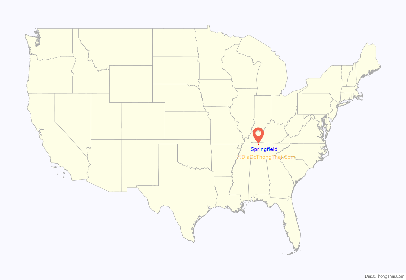
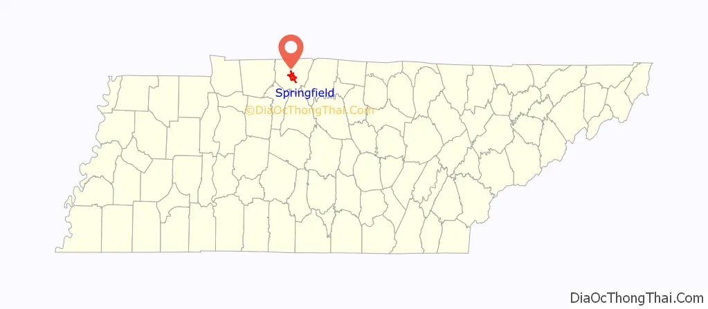
Springfield location map. Where is Springfield city?
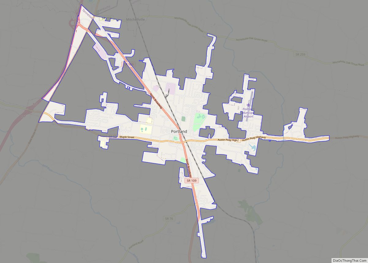
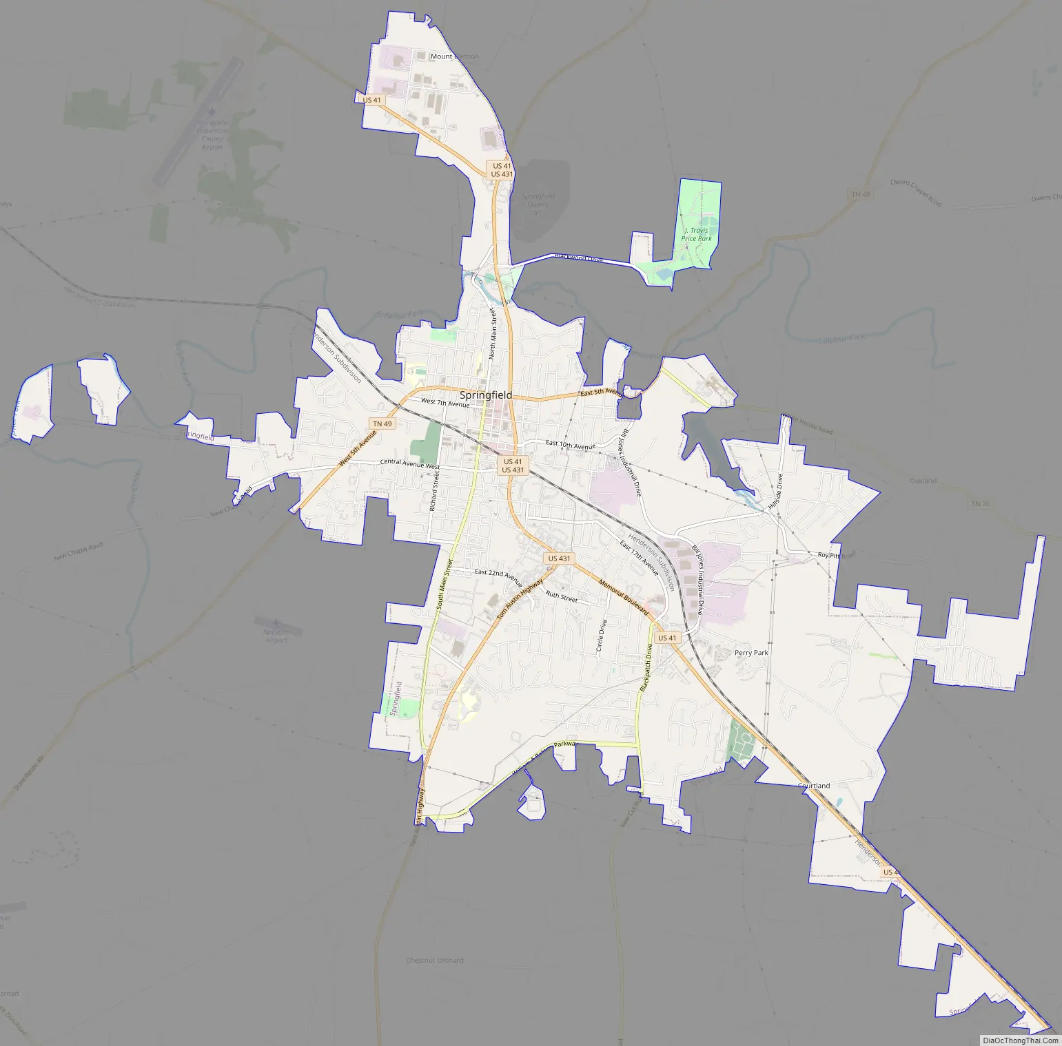
Springfield Road Map
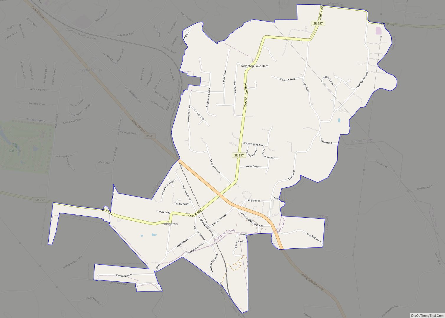
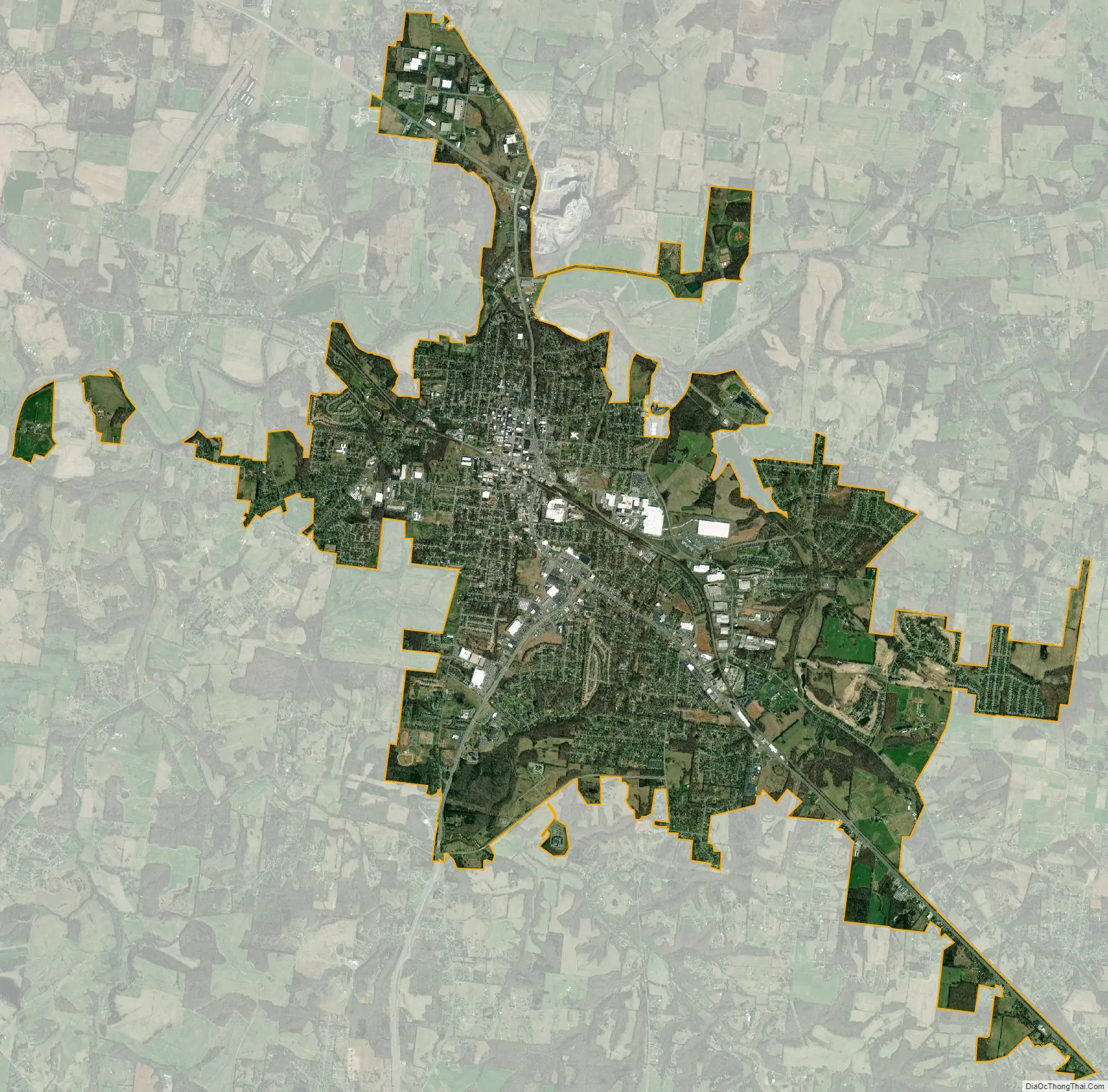
Springfield city Satellite Map
Geography
Springfield is located at 36°29′58″N 86°52′43″W / 36.49944°N 86.87861°W / 36.49944; -86.87861 (36.499508, -86.878717).
According to the United States Census Bureau, the city has a total area of 12.2 square miles (32 km), all land.
Transportation
- / U.S. Route 431 / Tennessee State Route 65 (Tom Austin Highway)
- / U.S. Route 41 / Tennessee State Route 11 (Memorial Blvd)
- Tennessee State Route 76
- Tennessee State Route 49
- Tennessee State Route 25 (Lakeview Rd)
- Tennessee State Route 161
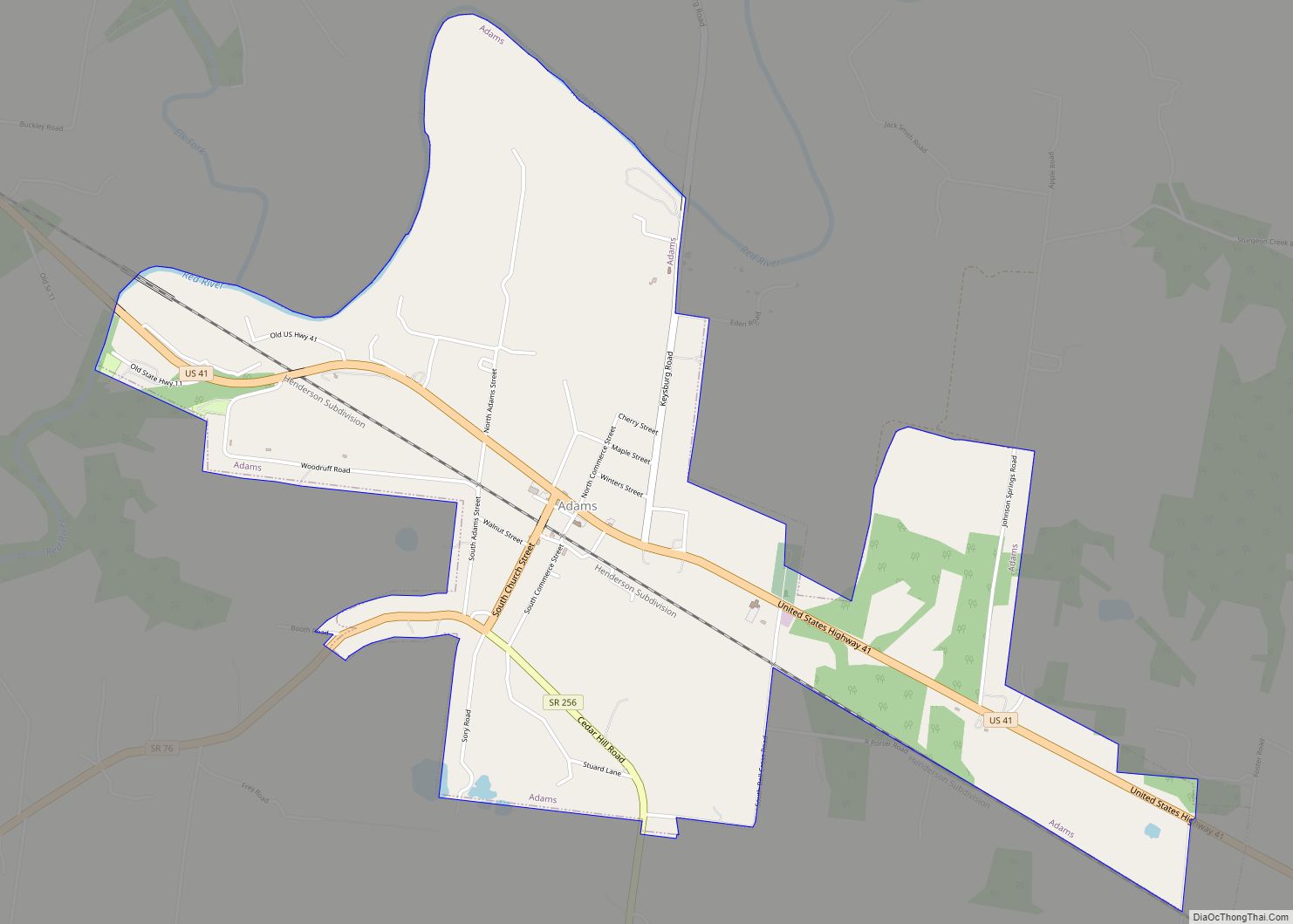
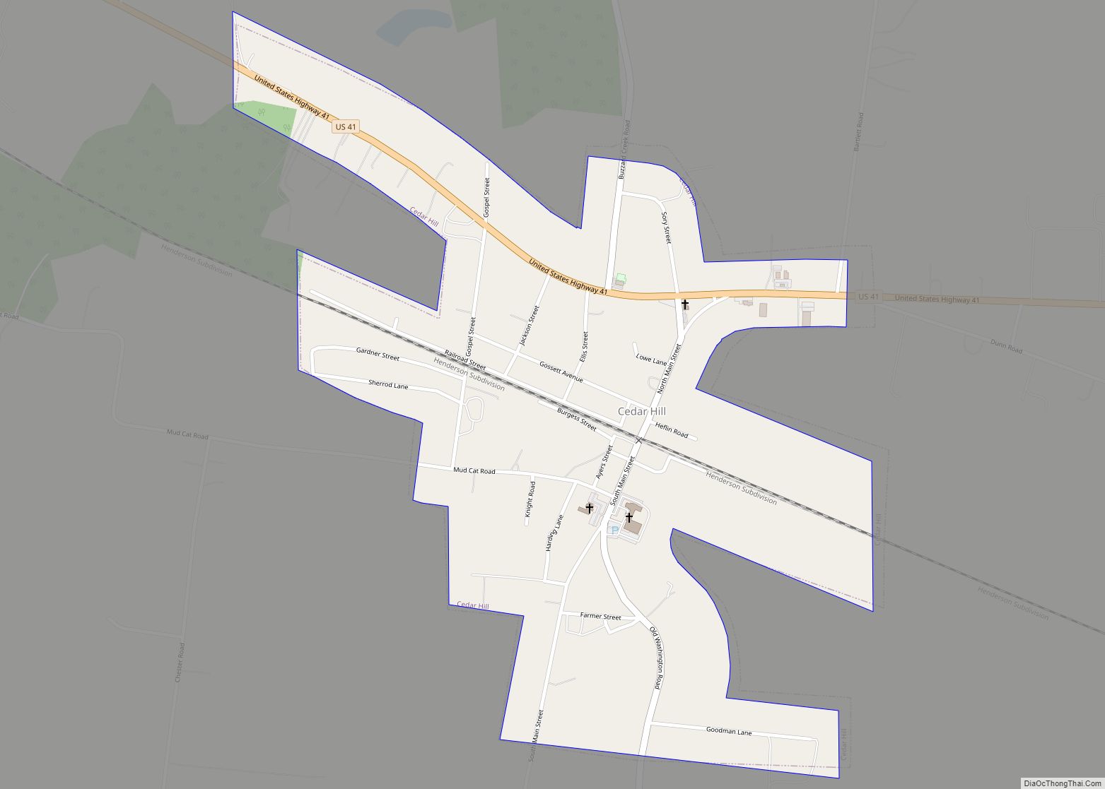
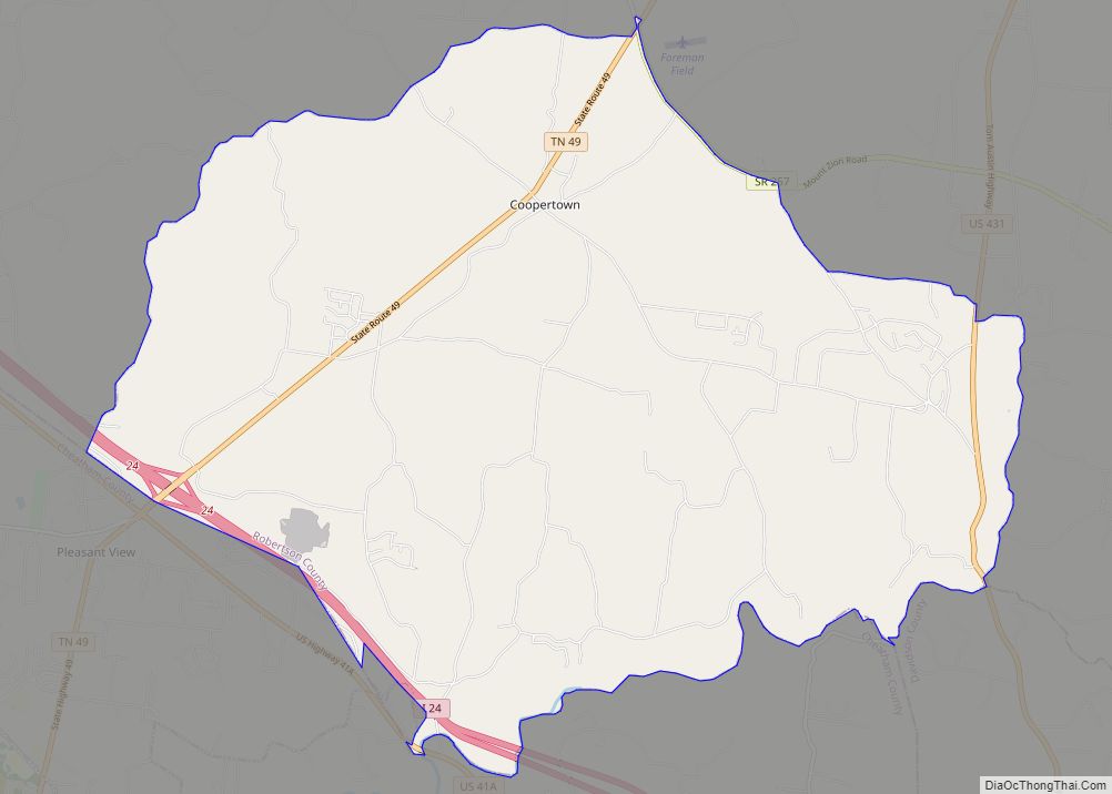
US 41 and US 431 are the major north-south highways running through Springfield, and both run southward to Nashville. US 41 runs north from Springfield to Cedar Hill and Adams. US 431 runs north to Hopkinsville, Kentucky. The major east-west highways are State Route 76 (SR 76) and State Route 49 (SR 49). State Route 76 is mainly unsigned throughout the entire town and runs concurrently with SR 49 and US 41. It runs east from Springfield to White House and Interstate 65. State Route 49 (SR 49) runs through Springfield and intersects US 41. It runs west to Coopertown and Interstate 24. It runs east to Orlinda and Interstate 65 via State Route 52. Other minor state routes in the Springfield area are State Route 25 (SR 25) and State Route 161 (SR 161).
US 431 and US 41 have had different routes through Springfield. US 41 formerly had a more eastern route, now called Old Greenbrier Road. A portion of the old route was abandoned in the 1990s due to landscaping made during the construction of a railroad. The practical usage of the road was replaced by the 17th Avenue Connector. The old pavement is still visible from Bill Jones Industrial Drive. Beyond that, it ran more westernly through downtown Springfield, now called Batts Boulevard and Main Street. A portion of the old route north of downtown was removed due to the construction of a quarry. US 41 was rerouted onto Memorial Boulevard, a 4 lane highway, around 1961 after its completion.
US 431 followed a more eastern route prior to at least 2010 south of Springfield. This route had a different bridge crossing Carr Creek that has since been demolished. North of the bridge, it followed what is now called Main Street. It intersected US 41 at the junction of what is now Main Street, A C Street, and 11th Avenue. It ran with US 41 after this intersection, until its own rerouting on Memorial Boulevard in 1961. US 431 was rerouted onto Tom Austin Highway around 1983.
Springfield Robertson County Airport is a local airport north of Springfield adjacent to US 41. There are no commercial flights to or from the airport.
Climate
See also
Map of Tennessee State and its subdivision:- Anderson
- Bedford
- Benton
- Bledsoe
- Blount
- Bradley
- Campbell
- Cannon
- Carroll
- Carter
- Cheatham
- Chester
- Claiborne
- Clay
- Cocke
- Coffee
- Crockett
- Cumberland
- Davidson
- Decatur
- DeKalb
- Dickson
- Dyer
- Fayette
- Fentress
- Franklin
- Gibson
- Giles
- Grainger
- Greene
- Grundy
- Hamblen
- Hamilton
- Hancock
- Hardeman
- Hardin
- Hawkins
- Haywood
- Henderson
- Henry
- Hickman
- Houston
- Humphreys
- Jackson
- Jefferson
- Johnson
- Knox
- Lake
- Lauderdale
- Lawrence
- Lewis
- Lincoln
- Loudon
- Macon
- Madison
- Marion
- Marshall
- Maury
- McMinn
- McNairy
- Meigs
- Monroe
- Montgomery
- Moore
- Morgan
- Obion
- Overton
- Perry
- Pickett
- Polk
- Putnam
- Rhea
- Roane
- Robertson
- Rutherford
- Scott
- Sequatchie
- Sevier
- Shelby
- Smith
- Stewart
- Sullivan
- Sumner
- Tipton
- Trousdale
- Unicoi
- Union
- Van Buren
- Warren
- Washington
- Wayne
- Weakley
- White
- Williamson
- Wilson
- Alabama
- Alaska
- Arizona
- Arkansas
- California
- Colorado
- Connecticut
- Delaware
- District of Columbia
- Florida
- Georgia
- Hawaii
- Idaho
- Illinois
- Indiana
- Iowa
- Kansas
- Kentucky
- Louisiana
- Maine
- Maryland
- Massachusetts
- Michigan
- Minnesota
- Mississippi
- Missouri
- Montana
- Nebraska
- Nevada
- New Hampshire
- New Jersey
- New Mexico
- New York
- North Carolina
- North Dakota
- Ohio
- Oklahoma
- Oregon
- Pennsylvania
- Rhode Island
- South Carolina
- South Dakota
- Tennessee
- Texas
- Utah
- Vermont
- Virginia
- Washington
- West Virginia
- Wisconsin
- Wyoming