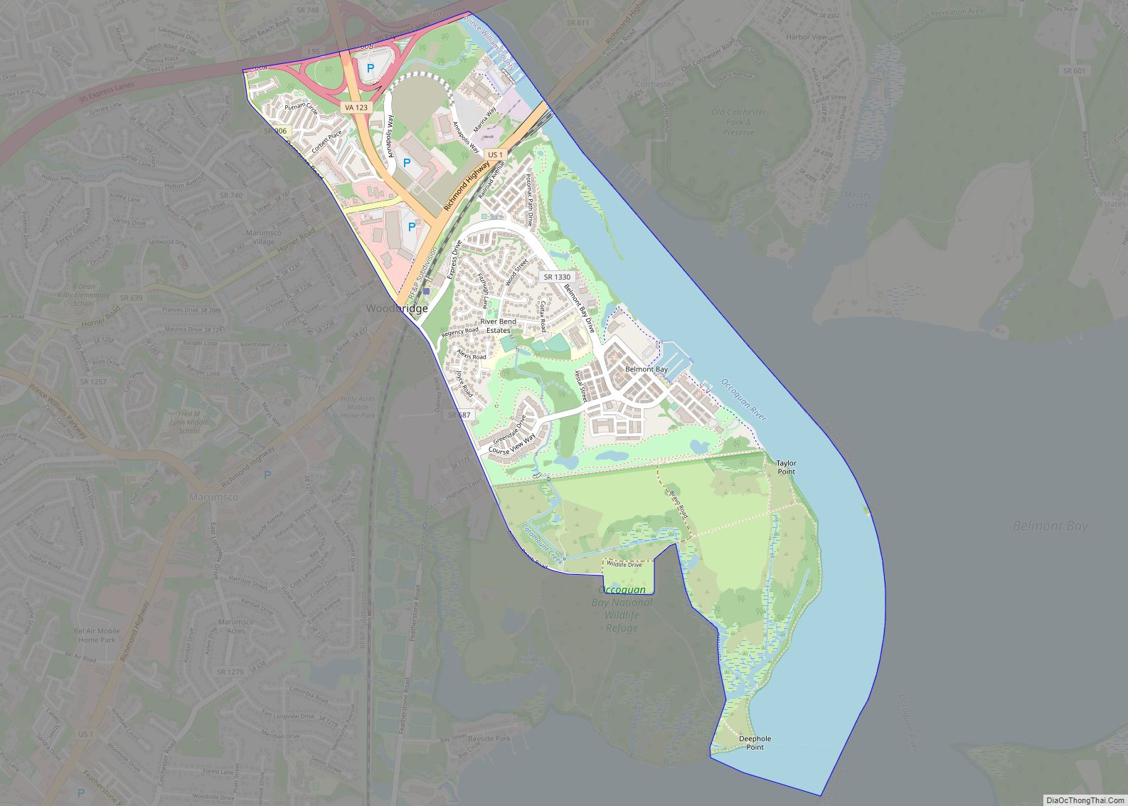
Map of Sedley CDP

Map of Sedley CDP

Sedley is a census-designated place (CDP) in the middle of Southampton County, Virginia, United States. The population as of the 2010 Census was 470. It lies at an elevation of 89 feet (27 m). Sedley CDP overview: Name: Sedley CDP LSAD Code: 57 LSAD Description: CDP (suffix) State: Virginia County: Southampton County FIPS code: 5171040 … Read more

Map of Scottsville town, Virginia

Map of Scottsville town, Virginia

Scottsville is a town in Albemarle and Fluvanna counties in the U.S. state of Virginia. The population was 566 at the 2010 census. It is part of the Charlottesville Metropolitan Statistical Area. Scottsville town overview: Name: Scottsville town LSAD Code: 43 LSAD Description: town (suffix) State: Virginia County: Albemarle County, Fluvanna County Elevation: 279 ft (85 m) … Read more

Map of Scottsburg town, Virginia

Map of Scottsburg town, Virginia

Scottsburg is a town in Halifax County, Virginia, United States. The population was 119 at the 2010 census, down from 145 at the 2000 census. Scottsburg town overview: Name: Scottsburg town LSAD Code: 43 LSAD Description: town (suffix) State: Virginia County: Halifax County Elevation: 374 ft (114 m) Total Area: 0.74 sq mi (1.93 km²) Land Area: 0.74 sq mi (1.92 km²) Water … Read more

Map of Shenandoah Retreat CDP

Map of Shenandoah Retreat CDP

Shenandoah Retreat is an unincorporated community and census-designated place in eastern Clarke County, Virginia, on the east shore of the Shenandoah River. The population as of the 2010 United States Census was 518. Shenandoah Retreat CDP overview: Name: Shenandoah Retreat CDP LSAD Code: 57 LSAD Description: CDP (suffix) State: Virginia County: Clarke County Elevation: 550 ft … Read more

Map of Shenandoah Farms CDP

Map of Shenandoah Farms CDP

Shenandoah Farms is an unincorporated community and census-designated place in northeastern Warren County, Virginia, United States. A small portion extends into neighboring Clarke County. The population as of the 2010 United States Census was 3,033. It is a recreational community built on the western slope of Blue Ridge Mountain and the banks of the Shenandoah … Read more

Map of Shawsville CDP

Map of Shawsville CDP

Shawsville CDP overview: Name: Shawsville CDP LSAD Code: 57 LSAD Description: CDP (suffix) State: Virginia County: Montgomery County FIPS code: 5171632 Online Interactive Map Shawsville online map. Source: Basemap layers from Google Map, Open Street Map (OSM), Arcgisonline, Wmflabs. Boundary Data from Database of Global Administrative Areas. Shawsville location map. Where is Shawsville CDP? Shawsville … Read more

Map of Shawneeland CDP

Map of Shawneeland CDP

Shawneeland CDP overview: Name: Shawneeland CDP LSAD Code: 57 LSAD Description: CDP (suffix) State: Virginia County: Frederick County FIPS code: 5171625 Online Interactive Map Shawneeland online map. Source: Basemap layers from Google Map, Open Street Map (OSM), Arcgisonline, Wmflabs. Boundary Data from Database of Global Administrative Areas. Shawneeland location map. Where is Shawneeland CDP? Shawneeland … Read more

Map of Seven Mile Ford CDP

Map of Seven Mile Ford CDP

Seven Mile Ford CDP overview: Name: Seven Mile Ford CDP LSAD Code: 57 LSAD Description: CDP (suffix) State: Virginia County: Smyth County FIPS code: 5171264 Online Interactive Map Seven Mile Ford online map. Source: Basemap layers from Google Map, Open Street Map (OSM), Arcgisonline, Wmflabs. Boundary Data from Database of Global Administrative Areas. Seven Mile … Read more

Map of South Hill town, Virginia

Map of South Hill town, Virginia

South Hill is a town in Mecklenburg County, Virginia, United States. The population was 4,650 at the 2010 census. Located on major Interstate and U.S. highways, it has a full-service hospital (serving patients from several rural counties), a tobacco market, and several hotels. South Hill has a close relationship with the neighboring town of La … Read more

Map of South Boston town

Map of South Boston town

South Boston, formerly Boyd’s Ferry, is a town in Halifax County, Virginia, United States. The population was 8,142 at the 2010 census, down from 8,491 at the 2000 census. It is the most populous town in Halifax County. South Boston town overview: Name: South Boston town LSAD Code: 43 LSAD Description: town (suffix) State: Virginia … Read more

Map of Snowville CDP, Virginia

Map of Snowville CDP, Virginia

Snowville is a census-designated place (CDP) located in southeastern Pulaski County in the Commonwealth of Virginia. The population, as of the 2010 Census, was 149. It is part of the Blacksburg–Christiansburg Metropolitan Statistical Area. Snowville CDP overview: Name: Snowville CDP LSAD Code: 57 LSAD Description: CDP (suffix) State: Virginia County: Pulaski County Elevation: 1,940 ft (591 m) … Read more

Map of Smithfield town, Virginia

Map of Smithfield town, Virginia

Smithfield is a town in Isle of Wight County, in the South Hampton Roads subregion of the Hampton Roads region of Virginia in the United States. The population was 8,089 at the 2010 census. The town is most famous for the curing and production of the Smithfield ham. The Virginia General Assembly passed a statute … Read more