Woodstock is a town and the county seat of Shenandoah County, Virginia, United States. It has a population of 5,212 according to the 2017 census. Woodstock comprises 3.2 square miles of incorporated area of the town, and is located along the “Seven Bends” of the north fork of the Shenandoah River. While some tourism references list Woodstock as the fourth oldest town in Virginia, the area was sparsely settled and perhaps platted in 1752 or shortly thereafter, but the town was actually established by charter in 1761. While there are a number of Virginia towns closer to the eastern seaboard that claim earlier founding dates, Woodstock was one of the first towns west of the Blue Ridge.
The Massanutten Military Academy is located in Woodstock, as is the national headquarters of Sigma Sigma Sigma sorority. Woodstock is also home to the River Bandits of the Valley Baseball League, the Shenandoah County Public School’s Central campus, and the Shenandoah County Fairgrounds.
| Name: | Woodstock town |
|---|---|
| LSAD Code: | 43 |
| LSAD Description: | town (suffix) |
| State: | Virginia |
| County: | Shenandoah County |
| Elevation: | 784 ft (239 m) |
| Total Area: | 3.82 sq mi (9.89 km²) |
| Land Area: | 3.81 sq mi (9.87 km²) |
| Water Area: | 0.01 sq mi (0.02 km²) |
| Total Population: | 5,097 |
| Population Density: | 1,379.33/sq mi (532.52/km²) |
| ZIP code: | 22664 |
| Area code: | 540 |
| FIPS code: | 5187712 |
| GNISfeature ID: | 1500352 |
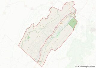
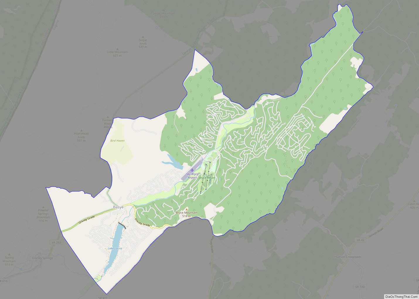
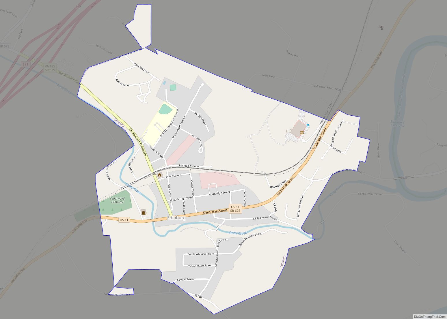
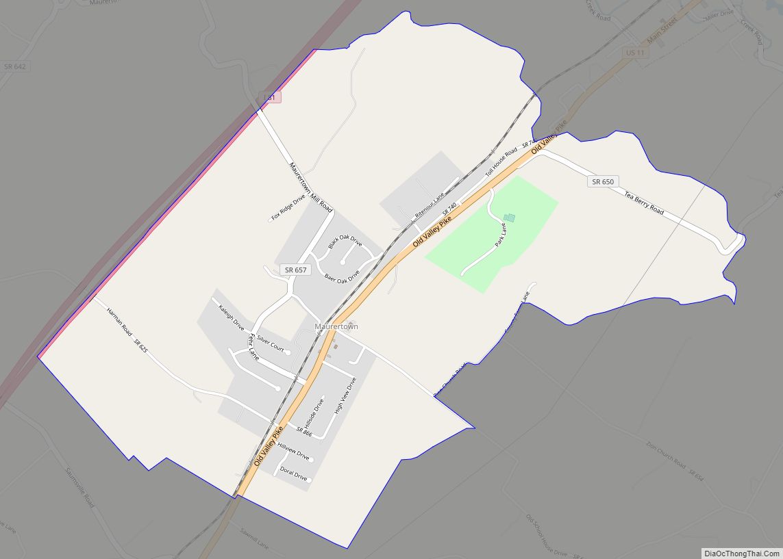
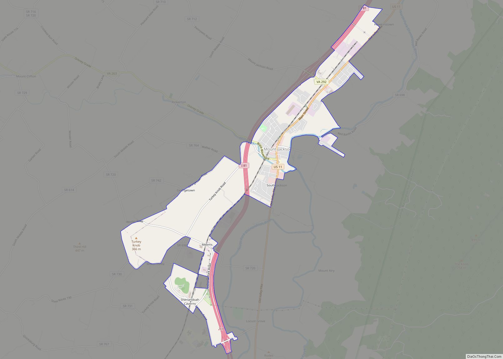
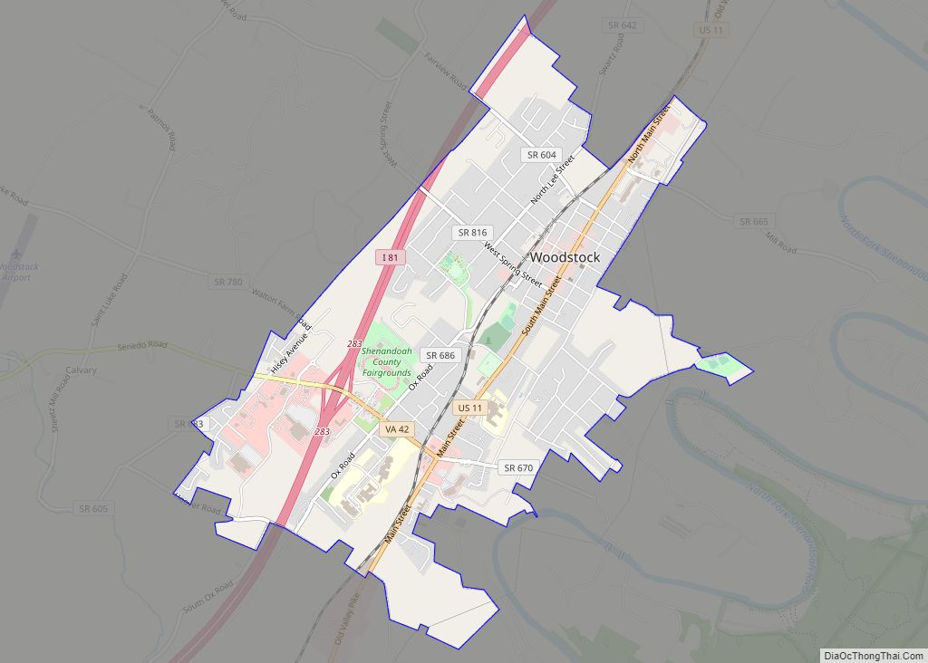
Online Interactive Map
Click on ![]() to view map in "full screen" mode.
to view map in "full screen" mode.
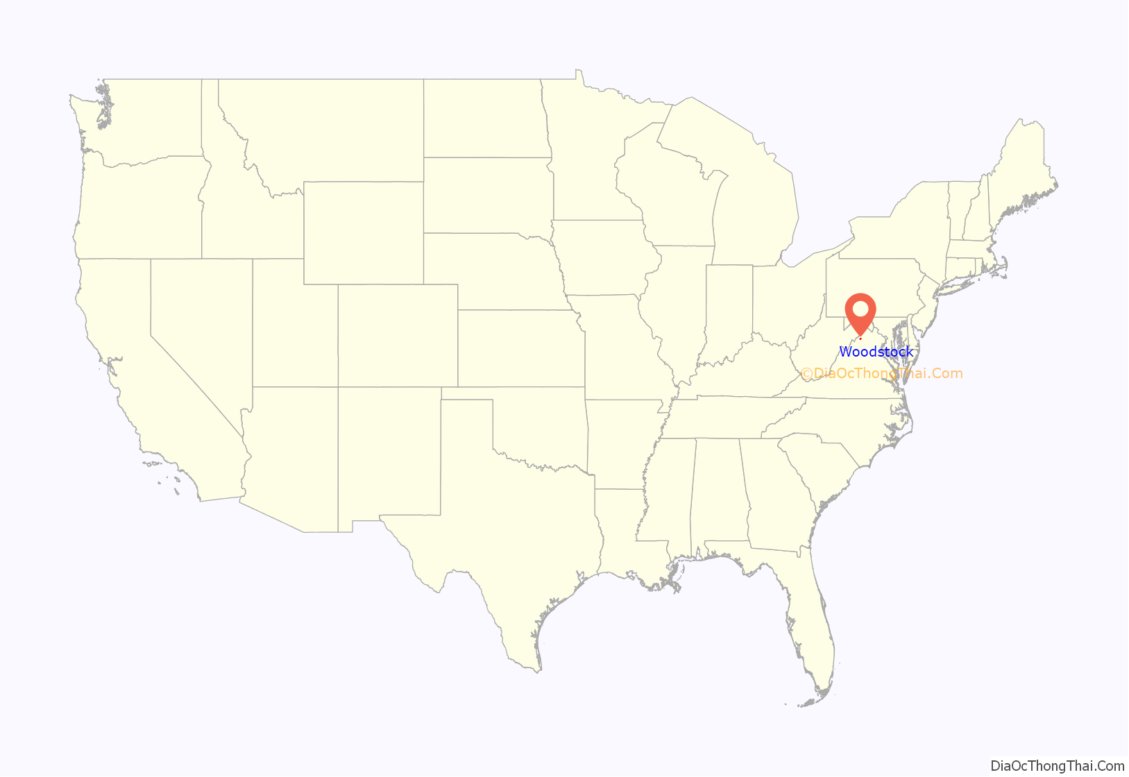
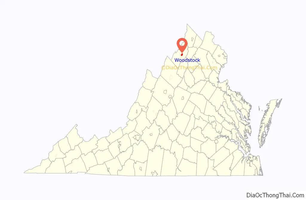
Woodstock location map. Where is Woodstock town?
History
The town was established by charter in March 1761 as a part of what was then Frederick County. It was originally formed from a land grant from Lord Fairfax, and founded as Muellerstadt (Miller Town) in 1752 by founder Jacob Muller (or “Mueller”). The town’s charter was sponsored by George Washington in Virginia’s House of Burgesses. Woodstock has been the County Seat of Shenandoah County, since Shenandoah County’s formation in 1772.
Colonial era
The Shenandoah Valley region around Woodstock was settled by Pennsylvania Germans who migrated south down the natural route of the Shenandoah Valley in the mid 1700s. The majority of these German settlers tended small farms that grew crops other than tobacco, were not slaveholders and had Protestant faiths different from the established Anglican church in Virginia. They thus had different culture and beliefs than the English society that was prevalent on the eastern side of the mountains.
The Senedo people lived in the Shenandoah Valley around Woodstock, but they disappeared as a tribe prior to European settlement, possibly from attack by the Catawba to the south. By the time the German settlers arrived, few Native Americans lived in the Shenandoah Valley. Several later tribes hunted in the valley, among them the Shawnee, Occoneechee, Monocans and Piscataways and the powerful Iroquois Confederation, so while not inhabiting the area Indians were likely not an uncommon sight. The seven bends have locations associated with Indian mounds dating back to the Late Woodland Period (AD 900–1650) in the area of the river between Woodstock and Strasburg, Virginia. After 250 years of plowing by settlers, the mounds have largely disappeared from sight, though traces of them have been detected with aerial photography
In the early days, relations between Indians and settlers were friendly. In the 1750s settlers began to sense trouble when Indians moved further west, over the Allegheny Mountains, where they were under influence of the French. During the French and Indian War, the French encouraged Indian raiding parties against so-called “English settlers” though most settlers in the Woodstock area were likely peaceable Germans. In the 1760s, there was constant danger of Indian raids, with some atrocities and brutality. The last Indian raid in the area occurred in 1766, three years after the formal end of the French and Indian War, about two miles south of Woodstock.
Route 11, which runs through Woodstock, was originally an Indian trail that served as a route between the Catawba in the south and the Delawares in the north, who were warring rivals. This came to be known as the Indian Road, and was the main route for settlement and travel through the Shenandoah Valley. With many improvements, Route 11 has largely followed this route, which was later called the Great Wagon Road and then the Valley Pike. Jacob Muller apparently used this old trail in laying out the plans for the main street of what would become Woodstock. Muellerstadt was the early name for Woodstock.
Establishment of the town
The new village was established by an act in 1761, sponsored by George Washington. The town was renamed Woodstock at that time. George Washington was a member of the Virginia House of Burgesses, representing Frederick County (the Woodstock area was then part of Frederick County and would remain so until 1772.) The act of the General Assembly gave full credit to Jacob Muller for initiating the idea. Muller came from Germany in 1749 and had temporarily settled in Pennsylvania. By 1752 he obtained 400 acres from Lord Fairfax for the area that would eventually be included in the town limits of Woodstock. Muller settled in Narrow Passage near Woodstock, and in the next few years his holdings grew to something between 1200 and 2000 acres, and he proceeded to lay out a plan for the town, Mullerstadt. A few white settlers had preceded Muller, as the 1761 act establishing the town noted “several persons are now living there”. It is realistic to assume this meant a scattering of log buildings. However, Muller’s town plan was that referred to in the 1761 General Assembly act that established Woodstock.
There is no clear reason why the town’s name was changed to Woodstock, though theories include it being renamed by Washington or perhaps for a wood stockade used by the community as shelter from Indian raids. Notwithstanding, Jacob Muller’s town continued for many years to be known as Millerstown, or to German-language residents, Muellerstadt. During the years following the establishment of the town, Muller held a big land sale in which 40 parcels he plotted were purchased. Muller died in 1766, just four years after his land sales. Andrew Brewbaker, his son-in-law, became proprietor of his grant, supported by a board of trustees appointed by the General Assembly to govern the new town. This form of government continued until 1795, when the town was authorized to hold elections. Unfortunately, the Town Trustees appointed in 1761 left no records, so early history of Woodstock as a town cannot be determined with accuracy. There was also no local newspaper until 1817.
Revolutionary Era
In 1772, Woodstock became the county seat of Dunmore County (renamed Shenandoah County in 1777 during the Revolutionary War, shedding the name of the controversial last Royal governor of Virginia). Being named the county seat had significant impact for the development of the town. As a county seat, Woodstock necessitated the building of a courthouse and jail. By 1774, the county had erected a permanent courthouse. That original court house was replaced in 1795 with a limestone building designed by Thomas Jefferson, using native limestone. It was enlarged in 1871 and 1886. The Shenandoah County Courthouse, located on Main Street, is the oldest courthouse still in use west of the Blue Ridge Mountains.
John Peter Gabriel Muhlenberg, a native of Pennsylvania who was formerly a soldier in the British Army and German dragoons, accepted a call to become pastor to a Woodstock congregation in 1771. After theological training, he served both Lutherans and Episcopalians for four years in a wide-ranging pastorate in the Shenandoah Valley. During this time he was drawn to in politics, serving in the House of Burgesses in 1774 and as a delegate to the First Virginia Convention. Muhlenberg became famous for his impassioned speeches for the revolutionary cause, helping to raise a regiment in the Shenandoah Valley among its German and Scots-Irish frontier population. He would lead this regiment, the 8th Virginia, as its Colonel in the Continental Army. At the conclusion of his fiery farewell sermon in Woodstock on January 21, 1776, Muhlenberg famously threw off his clerical robes to reveal an officer’s uniform beneath and proclaimed, (according to later reports), “in the language of Holy Writ there is a time for all things, a time to preach and a time to pray, but those times have passed away. There is a time to fight, and that time has now come.” Muhlenberg went on to be promoted to a general in the Continental Army and led units in many battles, from Brandywine to Yorktown. Upon the end of the war in 1783, he did not return to live in Woodstock, but instead returned to his native Pennsylvania as a war hero, served in elected capacities and then was elected to the First Congress (1788-1789) and several successive Congresses. Elected to the Senate in 1801, he resigned to return to a revenue post in Philadelphia, where he died on October 1, 1807. While his statue in Congress’ National Statuary Hall Collection was submitted by Pennsylvania in 1889, Muhlenberg has been revered in Woodstock for his fiery sermon and the unit he raised and inspired to fight for the nation’s independence.
The frontier-recruited 8th Virginia Regiment was drawn from Augusta, Berkeley, Culpeper, Dunmore (Shenandoah), Fincastle, Frederick Counties in the Shenandoah Valley, the district of West Augusta and Hampshire County which are in present-day West Virginia, and elsewhere along the Virginia frontier, which stretched from Kentucky to Fort Pitt (now Pittsburgh, PA.) Two of the ten companies were raised from the Dunmore County area of Woodstock. It was led by Muhlenberg, Colonel of the regiment and Abraham Bowman, Lt. Colonel, both from Woodstock. The 8th Virginia was called “The German Regiment” though it also contained substantial numbers of Scots-Irish. Frequently separated and detached to other units, the men of this tough, frontier-bred regiment served with distinction in many theaters of the war: White Plains, Trenton, Princeton, Short Hills, Cooch’s Bridge, Brandywine, Saratoga, Germantown and Charleston. They suffered the hardships at Valley Forge, and were afterwards mustered out of service, with those who reenlisted merging into other Virginia units.
Railroads
The commercial importance of Woodstock was enhanced by the coming of the railroad, and the railroad has significant impact upon the Woodstock’s development. The first railroad south of Strasburg was the Manassas Gap Railroad. On March 2, 1859, the line was extended to Mount Jackson. The Civil War interrupted the work however, and the line remained a long spur from Strasburg, with Mt Jackson as the terminus. In 1865 the Baltimore & Ohio Railroad (B&O) acquired and reconstructed the line after extensive damage during the Civil War, merging it with the Orange & Alexandria to form the Orange, Alexandria and Manassas Railroad. They then extended the line to Harrisonburg in 1868. In 1872, the B&O formed a separate subsidiary railroad on the line known as the Strasburg & Harrisonburg RR (S&H RR). In 1873 the B&O RR leased and operated the S&H RR between Strasburg and Harrisonburg. But the B&O encountered financial difficulties and sold the S&H railroad subsidiary to the Southern Railway in 1896.
In 1888 the B&O built a passenger station in Woodstock, made with native limestone, noted as one of the more elaborate passenger depots in the region. Woodstock became a freight rail entrepot with outward bound shipments of grain, cattle and fruit and inward bound freight of manufactured goods, rail service that continued into the 1960s. Passenger service ended in 1948 and freight rail service began to decline in the 1950s, reflecting a nationwide shift to cars and trucks with the advent of the national highway system. While individual industries were still served, sometime before 1969 regular freight depot service ended and the Woodstock freight depot was demolished in the 1970s. The Southern Railway merged with the Norfolk & Western in 1982 to become the Norfolk Southern Railroad, which owns the line through Woodstock to this day. However, industrial need for the line ended, and the rail between Strasburg between Edinburg (through Woodstock) is out of service, though the track remains.
In 1954 the B&O sold the passenger station and it was torn down in 1954 by a local businessman despite protests of many locals, and its loss damaged Woodstock’s historical character and heritage as a once-active railroad town.
Civil War Era
Confederate military units raised in Woodstock included Company F (the Muhlenberg Rifles) of the 10th Virginia Infantry (of whom 71% had German surnames) as well as Company C of the 33rd Virginia Infantry, part of the Stonewall Brigade led by Thomas “Stonewall” Jackson. While the area had an active Confederate population, it also was home to many reluctant secessionists, Unionists and families religiously opposed to slavery and war (Mennonites, German Dunkards.) In addition, traditional enmity between the slavery-based plantation society in eastern Virginia and the small farm populations over the rugged Blue Ridge and Allegheny mountains, where slavery was not as predominant an economic institution, meant that allegiances in the Shenandoah Valley and western Virginia were often divided. Many of German descent in the Shenandoah Valley were generally or religiously opposed to slavery, even as others with German ethnicity served in the Confederate Army.
The Civil War left no serious visible scars on the town, although there was partisan activity and retaliation. A few buildings were destroyed, notably the railroad depot and some warehouses along with a locomotive and some rolling stock. No major battles were fought in the immediate vicinity of the town, although skirmishes and large troop movements were not uncommon. Recorded skirmishes in Woodstock were May 18 and 21, 1862; June 2, 1862; February 26, 1863; November 16, 1863; September 23, 1864; and March 14, 1865. Various homes were used from time to time as staff headquarters by both sides, and as the occasional military hospital. General Thomas “Stonewall” Jackson made Woodstock his headquarters during part of his Valley Campaign in spring 1962, using the small brick law office near the courthouse. Union General Phil Sheridan sent a famous telegraph message from Woodstock during his own Valley campaign in 1864, during which his army destroyed anything of military value to the Confederates, stating “I have destroyed over 2,000 barns filled with wheat, burned over 70 mills filled with grain and flour. I have made the Shenandoah Valley of Virginia so bare that a crow flying over it would have to carry its knapsack.”
.
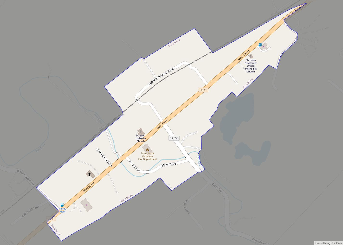
One small but significant cavalry battle occurred 4.5 miles north of Woodstock, at Tom’s Brook on October 9, 1864. The Battle of Tom’s Brook followed a Union victory at the Battle of Fisher’s Hill. After Fisher’s Hill, Sheridan’s Union cavalry pursued Jubal Early’s Confederates south to Staunton, after which the Federals withdrew, devastating anything of military benefit in their path, a campaign known in the Shenandoah as “The Burning.” Rebel cavalry harassed the withdrawal, until Union troopers under Wesley Merritt and George Armstrong Custer turned and routed the divided Confederate divisions of Rosser and Lomax at Tom’s Brook, 5 miles south of Strasburg and 4.5 miles north of Woodstock. The Confederate cavalry’s disorderly retreat from battle became known as the “Woodstock Races”, because the routed Rebel troopers fled back in disarray through Woodstock all the way to Mt. Jackson. A total of 6,300 Federal troopers and 3,500 Confederates engaged in the battle, with Union casualties at 57 and Confederate losses at 350. With the victory, the Union cavalry attained superiority in the Valley. The Battle of Tom’s Brook preceded by ten days the dramatic, large-scale and climactic battle at Cedar Creek (just north of Strasburg) between Early and Sheridan, which ended in a decisive Union victory that smashed any real threat of Confederate power in the Shenandoah or invasion of Washington DC via the Valley. The Battle of Tom’s Brook, and the “Woodstock Races,” occurred in significant part along the Valley Pike, now Route 11.
About 20 miles south of the town, the Battle of New Market also had Woodstock context. In conjunction with spring 1864 offensives, Union Lt. Gen. Ulysses S. Grant ordered Maj. Gen. Franz Sigel to move down the Valley Pike from West Virginia to Lynchburg, to destroy its railroads and canal while denying the rich Shenandoah Valley to the Confederacy. Receiving intelligence on these movements, Confederate Maj. Gen. John C. Breckinridge scraped together all available troops, including cadets from Virginia Military Institute (VMI) in Lexington. Sigel’s advance was slowed by Confederate cavalry and undermined by his own command jealousies and inept decisions, but on May 11 his cavalry captured a lightly defended Woodstock. The Confederates were forced out of Woodstock so fast that several telegrams between Breckinridge and his cavalry commander John D. Imboden fell into Union hands. These Woodstock dispatches revealed strength and location of Confederate forces as well as a rough time table for a cavalry rendezvous with the main Confederate force – potentially a game-changing intelligence coup. But rather than acting decisively, Sigel continued his cautious advance, allowing Confederates time to concentrate. Breckenridge decided to attack Sigel’s army, which had advanced from Woodstock. The Battle of New Market occurred on morning of May 15. Threatened by cavalry on his flank and rear, Sigel withdrew and retreated through Woodstock all the way to Strasburg. Sigel’s army outnumbered Breckinridge’s by 6,275 to 4,087. Union losses were 841 while Confederate casualties were 531. The Valley remained in Confederate control until Sheridan’s arrival.
Historic Structures
Lantz Hall, a structure at Massanutten Military Academy, and the Shenandoah County Courthouse are listed on the National Register of Historic Places. The Woodstock Historic District comprising the historic center of the town of Woodstock, was listed on the National Register of Historic Places in 1995. It includes examples of early architecture in the town from its earliest years into the 1940s, having been little altered since then.
Woodstock Road Map
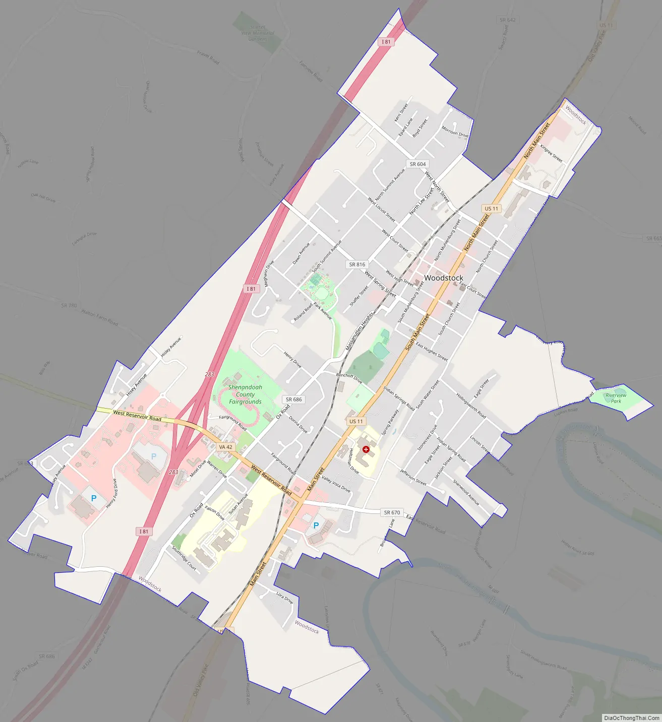
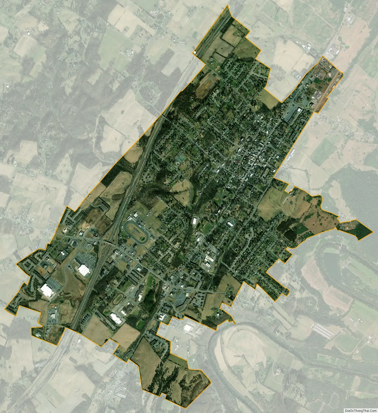
Woodstock city Satellite Map
Geography
Woodstock is located at 38°52′37″N 78°30′41″W / 38.87694°N 78.51139°W / 38.87694; -78.51139 (38.877075, −78.511521).
According to the United States Census Bureau, the town has a total area of 3.2 square miles (8.4 km), all of it land.
The town is located 11.4 miles (18.3 km) southwest of Strasburg, 18 miles (29 km) southwest of Middletown, and 31.5 miles southwest of Winchester.
Woodstock is located along the “Seven Bends” of the north fork of the Shenandoah River, which are seven significant meanders that are unusually sharp and tightly packed. In 48 miles (77 kilometers) of flow, the river travels only 16 miles (26 kilometers) as the crow flies. These large looping turns in the river were in earlier times a significant feature for which the town was known.
See also
Map of Virginia State and its subdivision:- Accomack
- Albemarle
- Alexandria
- Alleghany
- Amelia
- Amherst
- Appomattox
- Arlington
- Augusta
- Bath
- Bedford
- Bedford City
- Bland
- Botetourt
- Bristol
- Brunswick
- Buchanan
- Buckingham
- Buena Vista
- Campbell
- Caroline
- Carroll
- Charles City
- Charlotte
- Charlottesville
- Chesapeake
- Chesterfield
- Clarke
- Clifton Forge City
- Colonial Heights
- Covington
- Craig
- Culpeper
- Cumberland
- Danville
- Dickenson
- Dinwiddie
- Emporia
- Essex
- Fairfax
- Fairfax City
- Falls Church
- Fauquier
- Floyd
- Fluvanna
- Franklin
- Frederick
- Fredericksburg
- Galax
- Giles
- Gloucester
- Goochland
- Grayson
- Greene
- Greensville
- Halifax
- Hampton
- Hanover
- Harrisonburg
- Henrico
- Henry
- Highland
- Hopewell
- Isle of Wight
- James City
- King and Queen
- King George
- King William
- Lancaster
- Lee
- Lexington
- Loudoun
- Louisa
- Lunenburg
- Lynchburg
- Madison
- Manassas
- Manassas Park
- Martinsville
- Mathews
- Mecklenburg
- Middlesex
- Montgomery
- Nelson
- New Kent
- Newport News
- Norfolk
- Northampton
- Northumberland
- Norton
- Nottoway
- Orange
- Page
- Patrick
- Petersburg
- Pittsylvania
- Poquoson
- Portsmouth
- Powhatan
- Prince Edward
- Prince George
- Prince William
- Pulaski
- Radford
- Rappahannock
- Richmond
- Roanoke
- Roanoke City
- Rockbridge
- Rockingham
- Russell
- Salem
- Scott
- Shenandoah
- Smyth
- Southampton
- Spotsylvania
- Stafford
- Staunton
- Suffolk
- Surry
- Sussex
- Tazewell
- Virginia Beach
- Warren
- Washington
- Waynesboro
- Westmoreland
- Williamsburg
- Winchester
- Wise
- Wythe
- York
- Alabama
- Alaska
- Arizona
- Arkansas
- California
- Colorado
- Connecticut
- Delaware
- District of Columbia
- Florida
- Georgia
- Hawaii
- Idaho
- Illinois
- Indiana
- Iowa
- Kansas
- Kentucky
- Louisiana
- Maine
- Maryland
- Massachusetts
- Michigan
- Minnesota
- Mississippi
- Missouri
- Montana
- Nebraska
- Nevada
- New Hampshire
- New Jersey
- New Mexico
- New York
- North Carolina
- North Dakota
- Ohio
- Oklahoma
- Oregon
- Pennsylvania
- Rhode Island
- South Carolina
- South Dakota
- Tennessee
- Texas
- Utah
- Vermont
- Virginia
- Washington
- West Virginia
- Wisconsin
- Wyoming