Wolf Trap is a census-designated place (CDP) in Fairfax County, Virginia, United States. The population was 16,131 at the 2010 census. Wolf Trap National Park for the Performing Arts is located in the CDP.
| Name: | Wolf Trap CDP |
|---|---|
| LSAD Code: | 57 |
| LSAD Description: | CDP (suffix) |
| State: | Virginia |
| County: | Fairfax County |
| Elevation: | 285 ft (87 m) |
| Total Area: | 9.8 sq mi (25.5 km²) |
| Land Area: | 9.8 sq mi (25.4 km²) |
| Water Area: | 0.04 sq mi (0.1 km²) |
| Total Population: | 16,131 |
| Population Density: | 1,646/sq mi (635.6/km²) |
| FIPS code: | 5187240 |
| GNISfeature ID: | 1867602 |
Online Interactive Map
Click on ![]() to view map in "full screen" mode.
to view map in "full screen" mode.
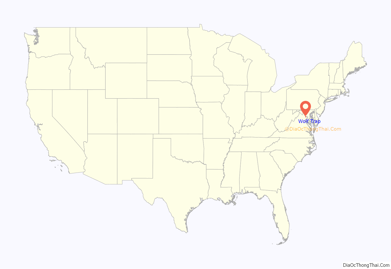
Wolf Trap location map. Where is Wolf Trap CDP?
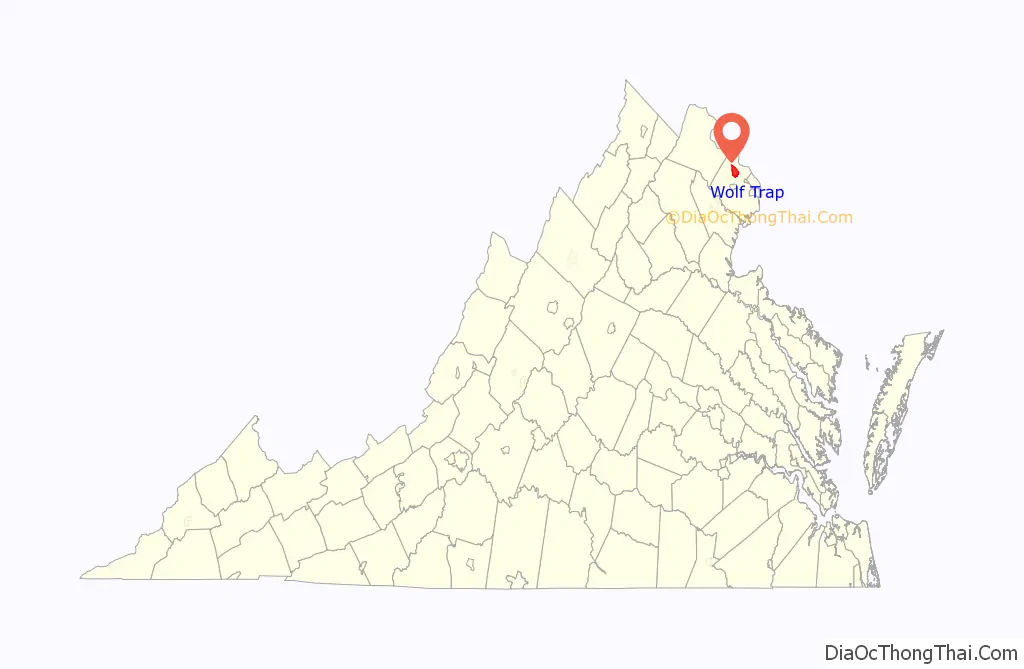
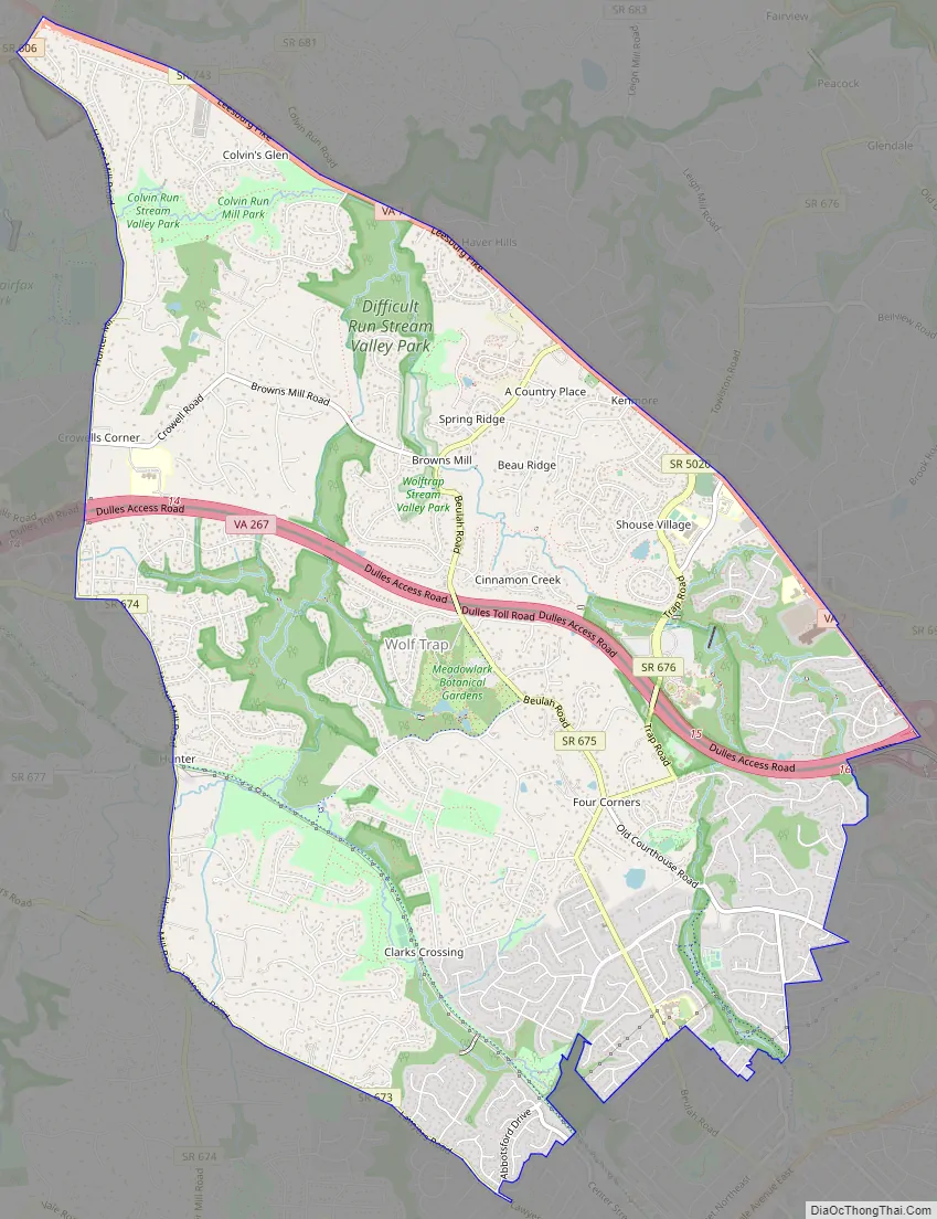
Wolf Trap Road Map
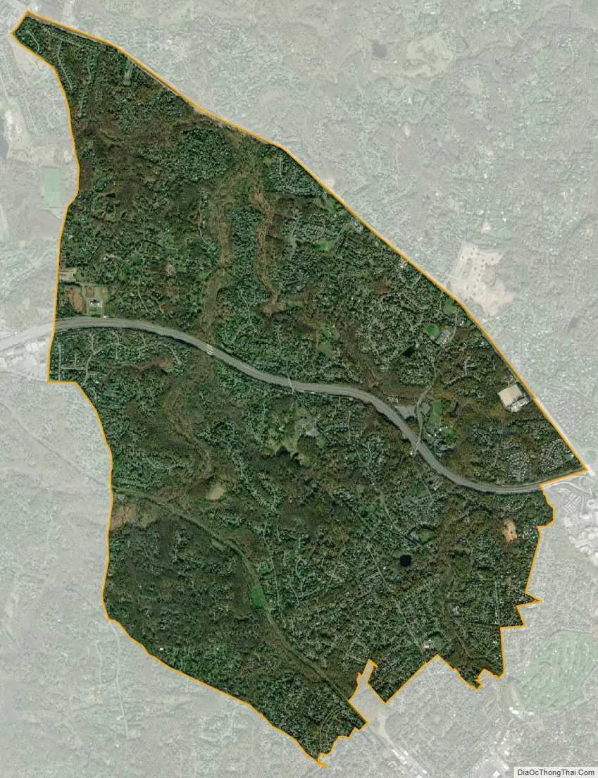
Wolf Trap city Satellite Map
Geography
Wolf Trap is located in northern Fairfax County at 38°56′1″N 77°16′35″W / 38.93361°N 77.27639°W / 38.93361; -77.27639 (38.933477, −77.276510). It is bordered by McLean to the northeast, Tysons Corner to the southeast, Vienna to the south, Oakton to the southwest, Reston to the west, and the community of Great Falls to the north. The Dulles Toll Road crosses the center of the CDP, with access from Exits 15 (Wolftrap Park) and 16 (Virginia State Route 7). The Toll Road leads west 11 miles (18 km) to Washington Dulles International Airport; downtown Washington, D.C. is 16 miles (26 km) to the east via the Toll Road and Interstate 66. Virginia Route 7 (Leesburg Pike) forms the northern border of the CDP; the highway leads northwest 20 miles (32 km) to Leesburg.
According to the United States Census Bureau, the Wolf Trap CDP has a total area of 9.8 square miles (25.5 km), of which 9.8 square miles (25.4 km) is land and 0.04 square miles (0.1 km), or 0.54%, is water.
See also
Map of Virginia State and its subdivision:- Accomack
- Albemarle
- Alexandria
- Alleghany
- Amelia
- Amherst
- Appomattox
- Arlington
- Augusta
- Bath
- Bedford
- Bedford City
- Bland
- Botetourt
- Bristol
- Brunswick
- Buchanan
- Buckingham
- Buena Vista
- Campbell
- Caroline
- Carroll
- Charles City
- Charlotte
- Charlottesville
- Chesapeake
- Chesterfield
- Clarke
- Clifton Forge City
- Colonial Heights
- Covington
- Craig
- Culpeper
- Cumberland
- Danville
- Dickenson
- Dinwiddie
- Emporia
- Essex
- Fairfax
- Fairfax City
- Falls Church
- Fauquier
- Floyd
- Fluvanna
- Franklin
- Frederick
- Fredericksburg
- Galax
- Giles
- Gloucester
- Goochland
- Grayson
- Greene
- Greensville
- Halifax
- Hampton
- Hanover
- Harrisonburg
- Henrico
- Henry
- Highland
- Hopewell
- Isle of Wight
- James City
- King and Queen
- King George
- King William
- Lancaster
- Lee
- Lexington
- Loudoun
- Louisa
- Lunenburg
- Lynchburg
- Madison
- Manassas
- Manassas Park
- Martinsville
- Mathews
- Mecklenburg
- Middlesex
- Montgomery
- Nelson
- New Kent
- Newport News
- Norfolk
- Northampton
- Northumberland
- Norton
- Nottoway
- Orange
- Page
- Patrick
- Petersburg
- Pittsylvania
- Poquoson
- Portsmouth
- Powhatan
- Prince Edward
- Prince George
- Prince William
- Pulaski
- Radford
- Rappahannock
- Richmond
- Roanoke
- Roanoke City
- Rockbridge
- Rockingham
- Russell
- Salem
- Scott
- Shenandoah
- Smyth
- Southampton
- Spotsylvania
- Stafford
- Staunton
- Suffolk
- Surry
- Sussex
- Tazewell
- Virginia Beach
- Warren
- Washington
- Waynesboro
- Westmoreland
- Williamsburg
- Winchester
- Wise
- Wythe
- York
- Alabama
- Alaska
- Arizona
- Arkansas
- California
- Colorado
- Connecticut
- Delaware
- District of Columbia
- Florida
- Georgia
- Hawaii
- Idaho
- Illinois
- Indiana
- Iowa
- Kansas
- Kentucky
- Louisiana
- Maine
- Maryland
- Massachusetts
- Michigan
- Minnesota
- Mississippi
- Missouri
- Montana
- Nebraska
- Nevada
- New Hampshire
- New Jersey
- New Mexico
- New York
- North Carolina
- North Dakota
- Ohio
- Oklahoma
- Oregon
- Pennsylvania
- Rhode Island
- South Carolina
- South Dakota
- Tennessee
- Texas
- Utah
- Vermont
- Virginia
- Washington
- West Virginia
- Wisconsin
- Wyoming


