Woodbridge is a census-designated place (CDP) in Prince William County, Virginia, United States, located 20 miles (32 km) south of Washington, D.C. Bounded by the Occoquan and Potomac rivers, Woodbridge had 44,668 residents at the 2020 census.
Woodbridge offers a variety of amenities for residents and visitors, including Potomac Mills shopping mall and Stonebridge at Potomac Town Center. Woodbridge is served by the Prince William County Public Schools, and the Woodbridge campus of Northern Virginia Community College borders the district. Sentara Northern Virginia Medical Center, a non-profit hospital, formerly Potomac Hospital, recently expanded and now has the capacity to serve 183 patients. Transportation includes access to Interstate 95, two VRE commuter train stations, bus service, and a local “slugging” system, offering residents a variety of transit options.
Woodbridge offers a wide range of recreational opportunities for resident and visitors. The Occoquan Bay National Wildlife Refuge is a natural habitat for a variety of plant and animal life including the bald eagles and ospreys. Veteran’s Park and Leesylvania State Park are located on the Potomac River and provide swimming, boating, picnic and hiking services. Close by is Rippon Lodge, the oldest house in Prince William County, which is open for tours throughout the summer. Trails at Leesylvania Park lead to the ancestral home of the Lee family.
| Name: | Woodbridge CDP |
|---|---|
| LSAD Code: | 57 |
| LSAD Description: | CDP (suffix) |
| State: | Virginia |
| County: | Prince William County |
| Elevation: | 75 ft (23 m) |
| Total Area: | 10.8 sq mi (28.0 km²) |
| Land Area: | 10.5 sq mi (27.1 km²) |
| Water Area: | 0.3 sq mi (0.8 km²) |
| Total Population: | 44,668 |
| Population Density: | 4,100/sq mi (1,600/km²) |
| ZIP code: | 22191–22193 |
| Area code: | 571, 703 |
| FIPS code: | 5187312 |
| GNISfeature ID: | 1497222 |
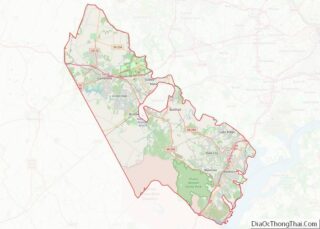
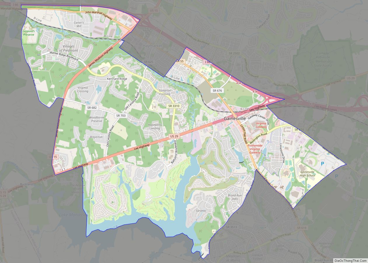
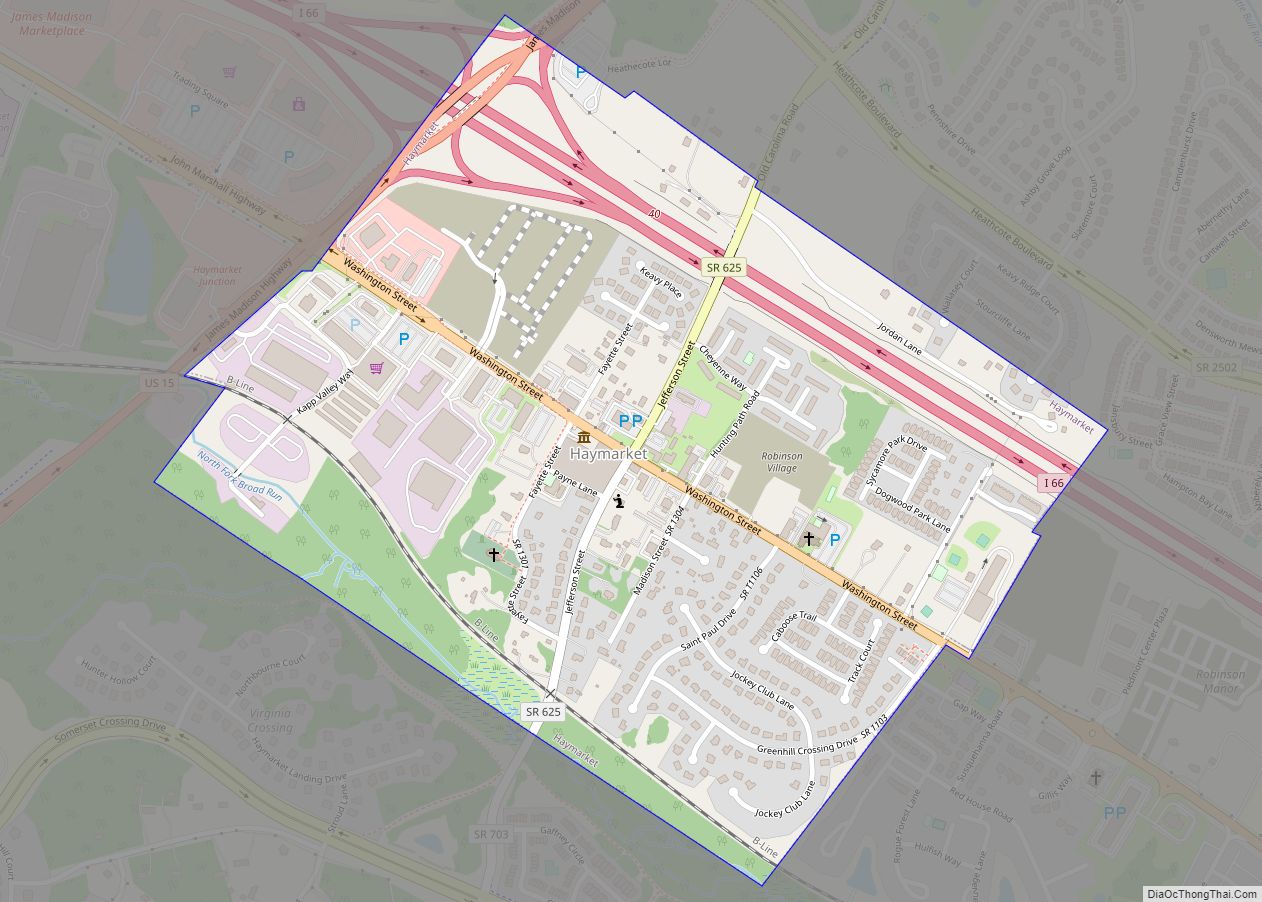
Online Interactive Map
Click on ![]() to view map in "full screen" mode.
to view map in "full screen" mode.
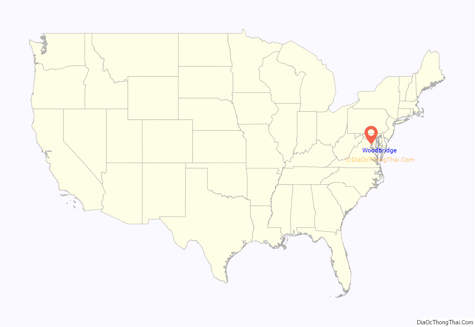
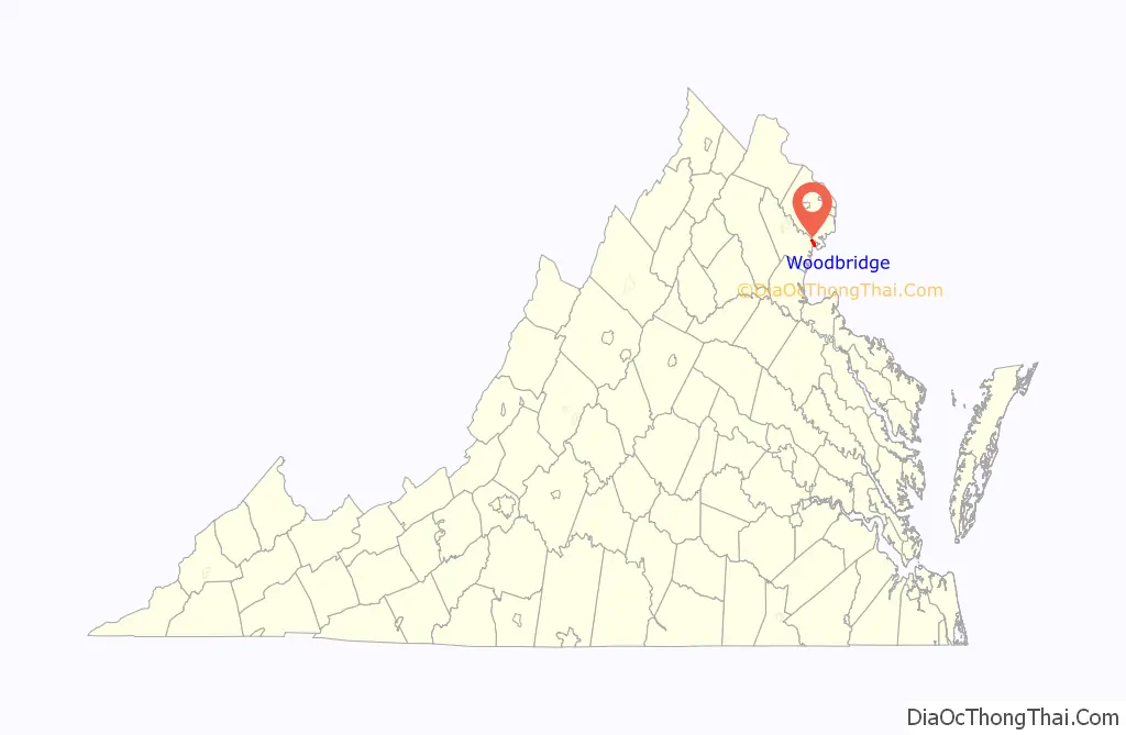
Woodbridge location map. Where is Woodbridge CDP?
History
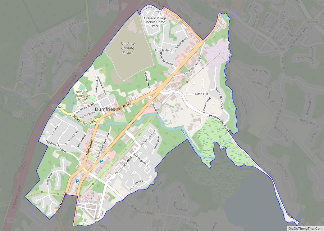
Woodbridge was initially a village composed largely of plantations and later farms and industrial complexes. Formally dating to at least 1731 when Prince William County was formed out of the Stafford County, Virginia. Initially, the first Prince William County Courthouse was erected in Woodbridge owing to its location halfway between Dumfries, Virginia and Alexandria, Virginia, the two largest Cities which were then in Prince William County. With the incorporation of Fairfax County Woodbridge ceased to be the center of the county and municipal function eventually shifted westward into Brentsville and eventually to Manassas where it is today.
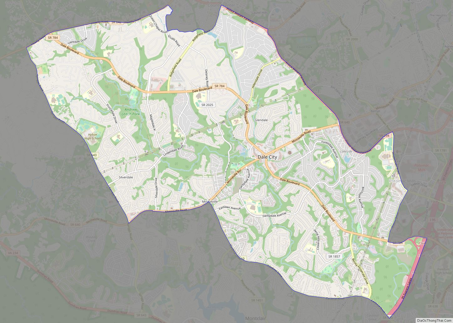
Later, the Woodbridge postal delivery area became the hub that included Dale City and Lake Ridge, which had previously been forged as a planned community in the 1960s and 1970s. The area takes its name from Thomas Mason’s 1795 wooden toll bridge built to supplant the existing ferry, carrying the King’s Highway traffic across the Occoquan River. Mason’s Woodbridge Plantation was located in the area of the present day Belmont Bay golf course community. The original bridge from which the area takes its name was washed away in 1807 following a heavy storm. Subsequently, industrial and economic development shifted toward Occoquan the next nearest river crossing. The bridge would not be replaced until the 20th century when an iron truss bridge was built. This bridge failed in 1972 during Hurricane Agnes and was eventually replaced by the current structure.
The Freestone Point Confederate Battery and Rippon Lodge are listed on the National Register of Historic Places.
Since c. 2003, numerous people have been trespassing in a 10-acre (4.0 ha) tent city adjacent to the Potomac Mills mall. It is tolerated by the private landlord. In 2018, part of the residents were directed to leave.
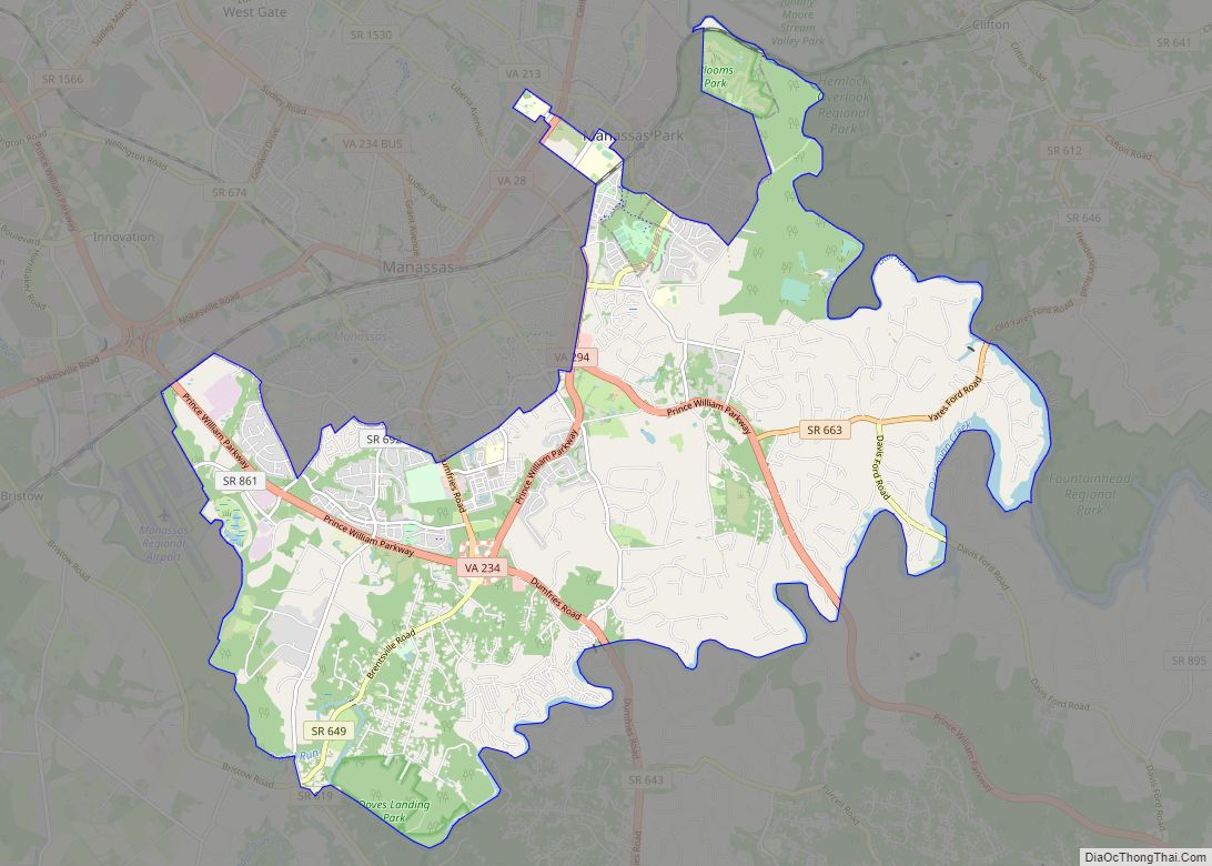
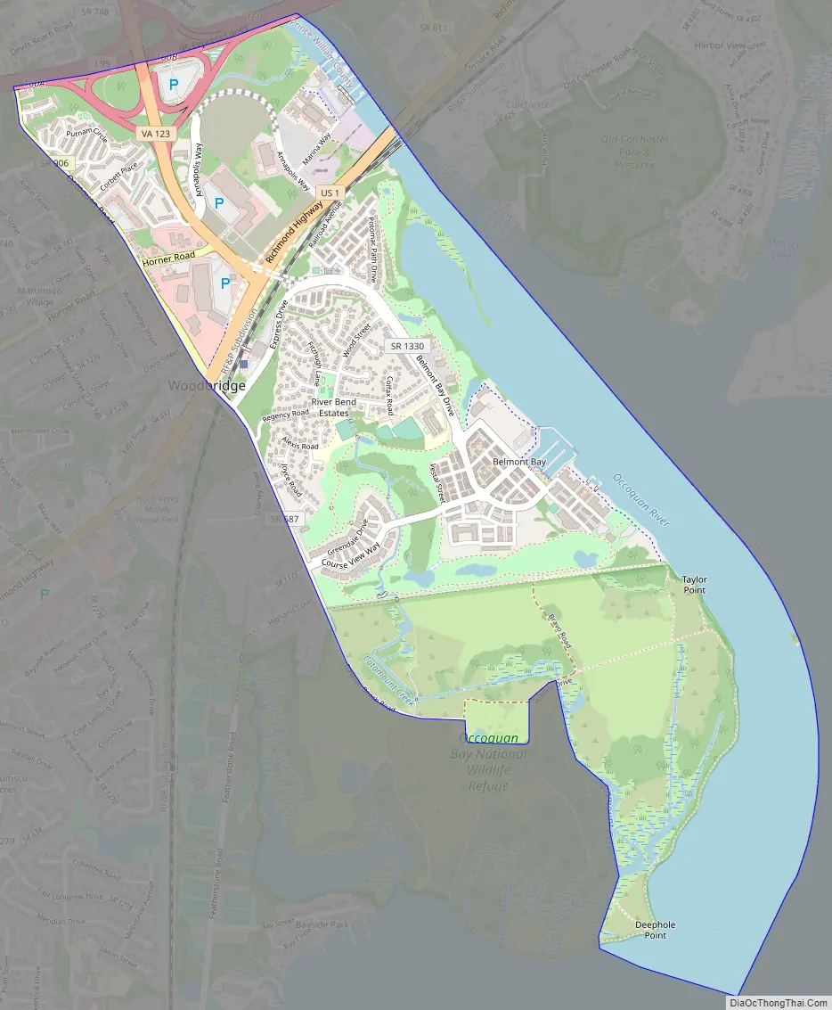
Woodbridge Road Map
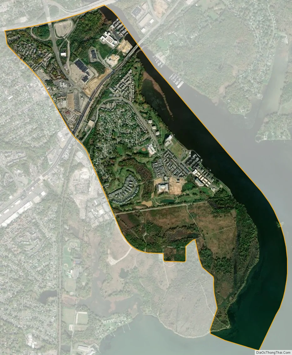
Woodbridge city Satellite Map
Geography
Woodbridge is at 38°38′37″N 77°15′39″W / 38.64361°N 77.26083°W / 38.64361; -77.26083 (38.643517, −77.260843). It is located on the peninsula of Linton Neck. According to the United States Census Bureau, in 2000, the CDP has a total area of 10.8 square miles (28 km), of which 10.5 square miles (27 km) is land and 0.3 square miles (0.78 km), or 2.87%, is water. Woodbridge is about 20 miles (32 km) from Washington, D.C.
The 2010 census reconfigured Woodbridge so that the majority of its land area was redesignated Marumsco and Neabsco, Virginia. The southern border of Woodbridge is now Occoquan Road. The area between Occoquan Road and Opitz Boulevard–Rippon Boulevard is now Marumsco. All of the former Woodbridge CDP south of those streets has been designated as Neabsco. However, these areas continue to have postal addresses in “Woodbridge,” which is served by a post office in Marumsco.
Climate
Woodbridge has a humid subtropical climate.
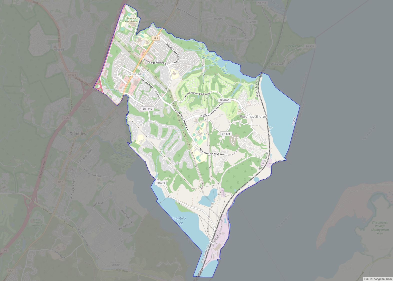
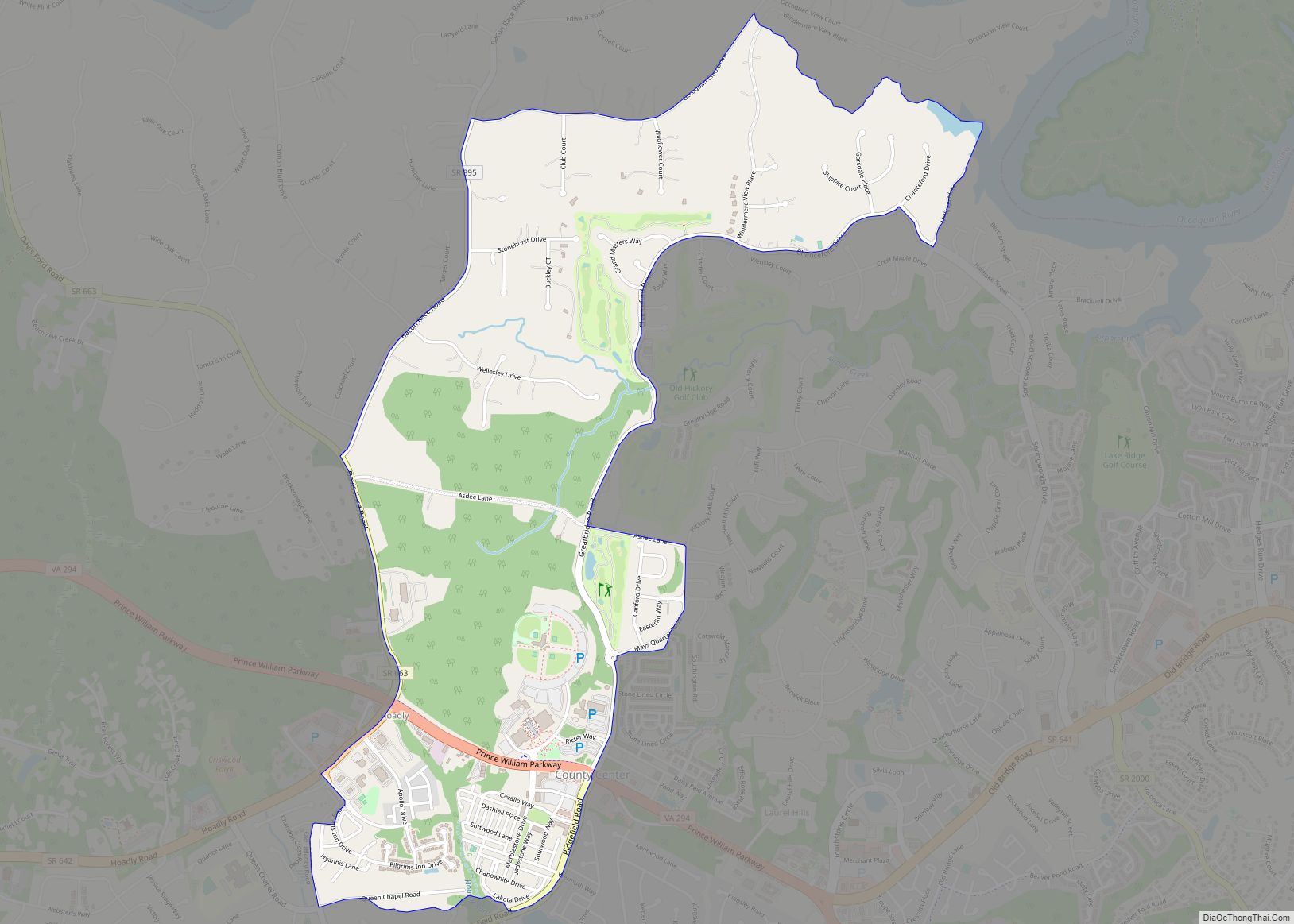
Nearby towns and communities
- Dale City
- Dumfries
- Lake Ridge
- Lorton
- Montclair
- Occoquan
See also
Map of Virginia State and its subdivision:- Accomack
- Albemarle
- Alexandria
- Alleghany
- Amelia
- Amherst
- Appomattox
- Arlington
- Augusta
- Bath
- Bedford
- Bedford City
- Bland
- Botetourt
- Bristol
- Brunswick
- Buchanan
- Buckingham
- Buena Vista
- Campbell
- Caroline
- Carroll
- Charles City
- Charlotte
- Charlottesville
- Chesapeake
- Chesterfield
- Clarke
- Clifton Forge City
- Colonial Heights
- Covington
- Craig
- Culpeper
- Cumberland
- Danville
- Dickenson
- Dinwiddie
- Emporia
- Essex
- Fairfax
- Fairfax City
- Falls Church
- Fauquier
- Floyd
- Fluvanna
- Franklin
- Frederick
- Fredericksburg
- Galax
- Giles
- Gloucester
- Goochland
- Grayson
- Greene
- Greensville
- Halifax
- Hampton
- Hanover
- Harrisonburg
- Henrico
- Henry
- Highland
- Hopewell
- Isle of Wight
- James City
- King and Queen
- King George
- King William
- Lancaster
- Lee
- Lexington
- Loudoun
- Louisa
- Lunenburg
- Lynchburg
- Madison
- Manassas
- Manassas Park
- Martinsville
- Mathews
- Mecklenburg
- Middlesex
- Montgomery
- Nelson
- New Kent
- Newport News
- Norfolk
- Northampton
- Northumberland
- Norton
- Nottoway
- Orange
- Page
- Patrick
- Petersburg
- Pittsylvania
- Poquoson
- Portsmouth
- Powhatan
- Prince Edward
- Prince George
- Prince William
- Pulaski
- Radford
- Rappahannock
- Richmond
- Roanoke
- Roanoke City
- Rockbridge
- Rockingham
- Russell
- Salem
- Scott
- Shenandoah
- Smyth
- Southampton
- Spotsylvania
- Stafford
- Staunton
- Suffolk
- Surry
- Sussex
- Tazewell
- Virginia Beach
- Warren
- Washington
- Waynesboro
- Westmoreland
- Williamsburg
- Winchester
- Wise
- Wythe
- York
- Alabama
- Alaska
- Arizona
- Arkansas
- California
- Colorado
- Connecticut
- Delaware
- District of Columbia
- Florida
- Georgia
- Hawaii
- Idaho
- Illinois
- Indiana
- Iowa
- Kansas
- Kentucky
- Louisiana
- Maine
- Maryland
- Massachusetts
- Michigan
- Minnesota
- Mississippi
- Missouri
- Montana
- Nebraska
- Nevada
- New Hampshire
- New Jersey
- New Mexico
- New York
- North Carolina
- North Dakota
- Ohio
- Oklahoma
- Oregon
- Pennsylvania
- Rhode Island
- South Carolina
- South Dakota
- Tennessee
- Texas
- Utah
- Vermont
- Virginia
- Washington
- West Virginia
- Wisconsin
- Wyoming