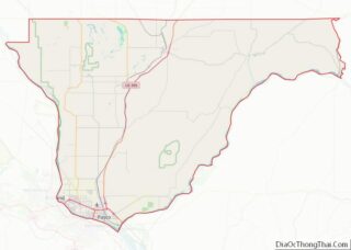
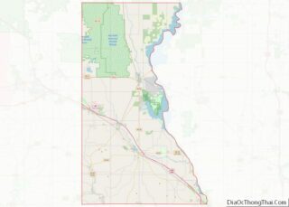
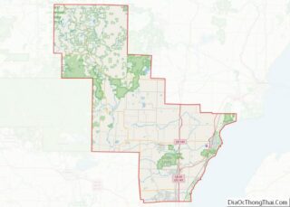
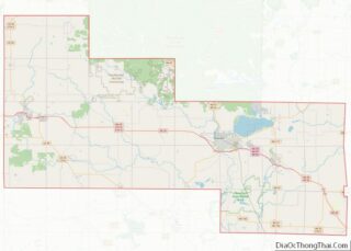
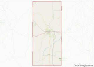
Map of Mackinac County, Michigan
Mackinac County (/ˈmækənɔː/ MAK-ə-naw) is a county in the Upper Peninsula of the U.S. state of Michigan. As of the 2020 Census, the population was 10,834. The county seat is St. Ignace. Formerly known as Michilimackinac County, in 1818 it was one of the first counties of the Michigan Territory, as it had long been ... Read more
Map of Mackinac County, Michigan
Map of Ogemaw County, Michigan
Ogemaw County (/ˈoʊɡəmɔː/ OH-gə-maw) is a county located in the U.S. state of Michigan. As of the 2020 Census, the population was 20,770. The county seat is West Branch. The county newspaper of record is the Ogemaw Herald. Ogemaw County overview: Name: Ogemaw County FIPS code: 26-129 State: Michigan Founded: 1840 Seat: West Branch Largest ... Read more
Map of Ogemaw County, Michigan
Map of Washtenaw County, Michigan
Washtenaw County (/ˈwɔːʃtənɔː/ WASH-tə-naw) is a county located in the U.S. state of Michigan. At the 2020 census, the population was 372,258. The county seat is Ann Arbor. The county was authorized by legislation in 1822 and organized as a county in 1826. Washtenaw County comprises the Ann Arbor Metropolitan Statistical Area. The county is ... Read more
Map of Washtenaw County, Michigan
Map of Clay County, Minnesota
Clay County is a county in the U.S. state of Minnesota. As of the 2020 census, the population was 65,318. Its county seat is Moorhead. Clay County is part of the Fargo, ND-MN Metropolitan Statistical Area. Clay County overview: Name: Clay County FIPS code: 27-027 State: Minnesota Founded: 1862 Named for: Henry Clay Seat: Moorhead ... Read more
Map of Clay County, Minnesota
Map of Isanti County, Minnesota
Isanti County (/aɪˈsæntiː/ eye-SAN-tee) is a county in the east-central part of the U.S. state of Minnesota. As of the 2020 census, the population was 41,135. Its county seat is Cambridge. Isanti County overview: Name: Isanti County FIPS code: 27-059 State: Minnesota Founded: February 13, 1857 Named for: Izaty Indians Seat: Cambridge Largest city: Cambridge ... Read more
Map of Isanti County, Minnesota
Map of Martin County, Minnesota
Martin County is a county in Minnesota, United States. As of the 2020 census, the population was 20,025. Its county seat is Fairmont. Martin County overview: Name: Martin County FIPS code: 27-091 State: Minnesota Founded: May 23, 1857 Named for: Henry Martin Seat: Fairmont Largest city: Fairmont Total Area: 730 sq mi (1,900 km²) Land Area: 712 sq mi (1,840 km²) ... Read more
Map of Martin County, Minnesota
Map of Pope County, Minnesota
Pope County is a county in the U.S. state of Minnesota. As of the 2020 census, the population was 11,308. Its county seat is Glenwood. The county was formed in 1862 and organized in 1866. Pope County overview: Name: Pope County FIPS code: 27-121 State: Minnesota Founded: 1862 Named for: John Pope Seat: Glenwood Largest ... Read more
Map of Pope County, Minnesota
Map of Traverse County, Minnesota
Traverse County (locally /ˈtrævərs/ TRAV-ərss) is a county in the U.S. state of Minnesota. As of the 2020 census, the population was 3,360, making it the least-populous county in Minnesota. Its county seat is Wheaton. The county was founded in 1862 and organized in 1881. Traverse County overview: Name: Traverse County FIPS code: 27-155 State: ... Read more
Map of Traverse County, Minnesota
Map of Calhoun County, Mississippi
Calhoun County is a county located in the U.S. state of Mississippi. As of the 2020 census, the population was 13,266. Its county seat is Pittsboro. The county is named after John C. Calhoun, the U.S. Vice President and U.S. Senator from South Carolina. Calhoun County overview: Name: Calhoun County FIPS code: 28-013 State: Mississippi ... Read more
Map of Calhoun County, Mississippi
Map of Hancock County, Mississippi
Hancock County is the southernmost county of the U.S. state of Mississippi and is named for Founding Father John Hancock. As of the 2020 census, the population was 46,053. Its county seat is Bay St. Louis. Hancock County is part of the Gulfport–Biloxi, MS Metropolitan Statistical Area. It is situated along the Gulf of Mexico ... Read more
Map of Hancock County, Mississippi
Map of Lawrence County, Mississippi
Lawrence County is a county located in the U.S. state of Mississippi. As of the 2020 census, the population was 12,016. Its county seat is Monticello. The county is named for the naval hero James Lawrence. Lawrence County overview: Name: Lawrence County FIPS code: 28-077 State: Mississippi Founded: 1814 Named for: James Lawrence Seat: Monticello ... Read more
Map of Lawrence County, Mississippi
Map of Pearl River County, Mississippi
Pearl River County is a county located in the U.S. state of Mississippi. The population was 56,145 at the 2020 census. Its county seat is Poplarville. Pearl River County comprises the Picayune, MS Micropolitan Statistical Area, which is included in the New Orleans–Metairie–Hammond, LA–MS Combined Statistical Area. Pearl River County is a dry county, and ... Read more
Map of Pearl River County, Mississippi