Moore County is a county located in the south central part of the U.S. state of Tennessee. As of the 2020 census, the population was 6,461, making it the third-least populous county in Tennessee. It forms a consolidated city-county government with its county seat of Lynchburg. At 130 square miles (340 km), it is the second-smallest county in Tennessee, behind only Trousdale. The county was created in 1871, during the Reconstruction era. Moore County is part of the Tullahoma–Manchester, TN Micropolitan Statistical Area.
| Name: | Moore County |
|---|---|
| FIPS code: | 47-127 |
| State: | Tennessee |
| Founded: | 1871 |
| Named for: | William Moore, state legislator |
| Seat: | Lynchburg |
| Largest city: | Lynchburg |
| Total Area: | 130 sq mi (300 km²) |
| Land Area: | 129 sq mi (330 km²) |
| Total Population: | 6,461 |
| Population Density: | 49/sq mi (19/km²) |
| Time zone: | UTC−6 (Central) |
| Summer Time Zone (DST): | UTC−5 (CDT) |
| Website: | Government & Education Services |
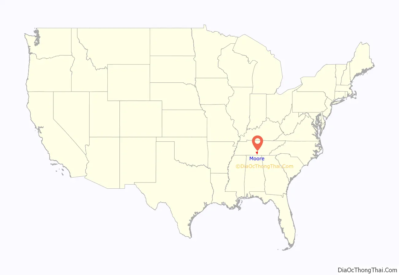
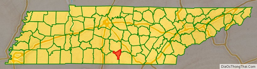
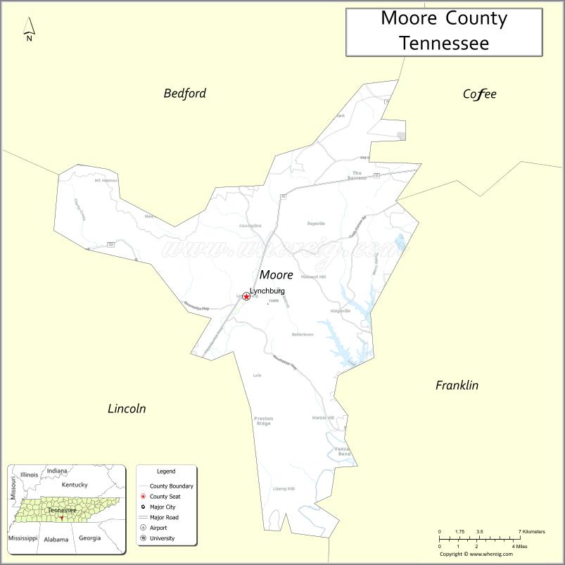
Moore County location map. Where is Moore County?
History
Moore County was established in 1871 from parts of Lincoln, Bedford and Franklin counties, and named in honor of General William Moore, an early settler and long-time member of the state legislature. The new county originally contained about 300 square miles, but Lincoln County sued and successfully reclaimed a portion of its land, reducing the new county’s size.
Beginning in the 1820s, whiskey distilleries were developed in what is now Moore County. By 1875, fifteen distilleries were operating in the county. At the end of the 20th century, the Jack Daniel Distillery in Lynchburg was a major employer and the county’s primary source of revenue.
Because of the small size of this county, in the late 20th century city and county officials began to discuss creating a consolidated government in order to lower costs and improve services. In 1988, the Metropolitan Government of Lynchburg, Moore County, Tennessee was voted into law as the governing body of Moore County, including Lynchburg.
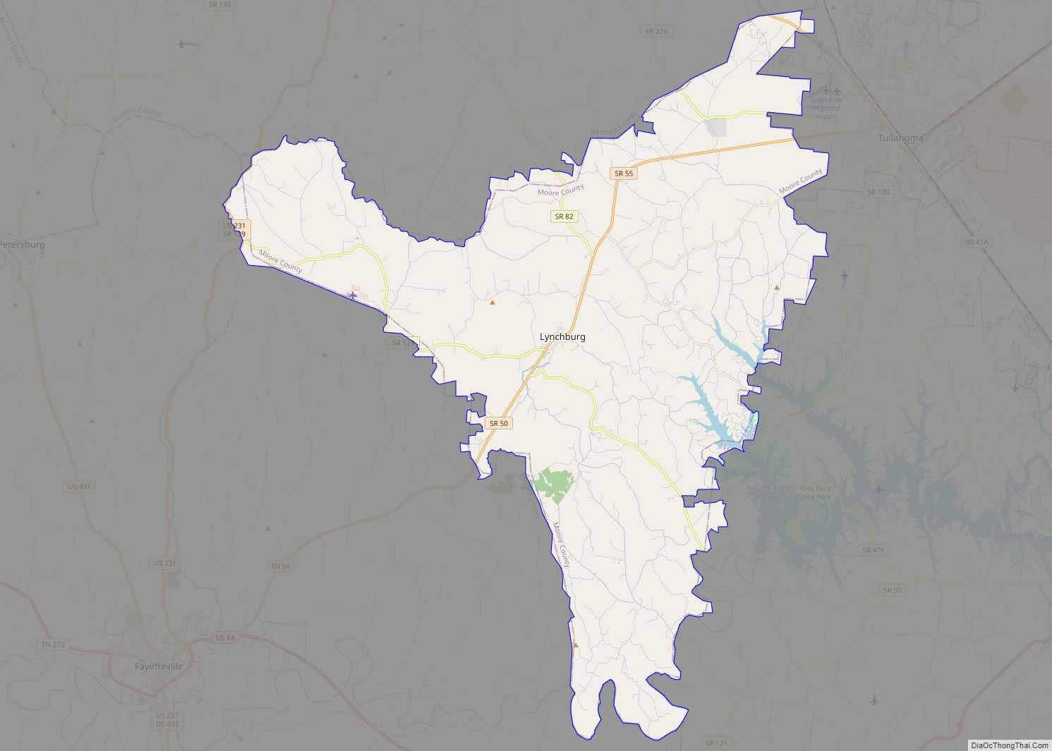
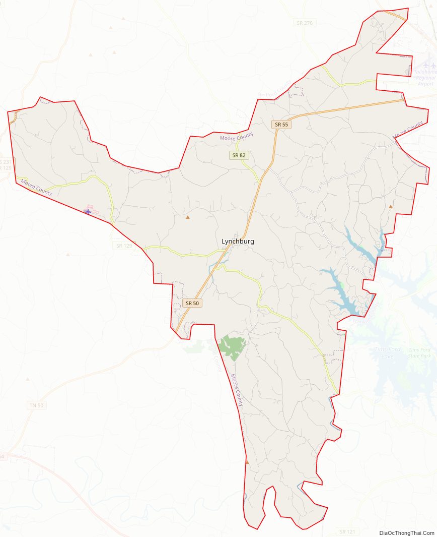
Moore County Road Map
Geography
According to the U.S. Census Bureau, the county has a total area of 130 square miles (340 km), of which 129 square miles (330 km) are land and 1.2 square miles (3.1 km) (0.9%) are water. It is the second-smallest county in Tennessee by area. The county is located partially on the rugged Highland Rim and partially in the flatter Nashville Basin.
Adjacent counties
- Coffee County (northeast)
- Franklin County (southeast)
- Lincoln County (southwest)
- Bedford County (northwest)
Protected area
- Tims Ford Lake
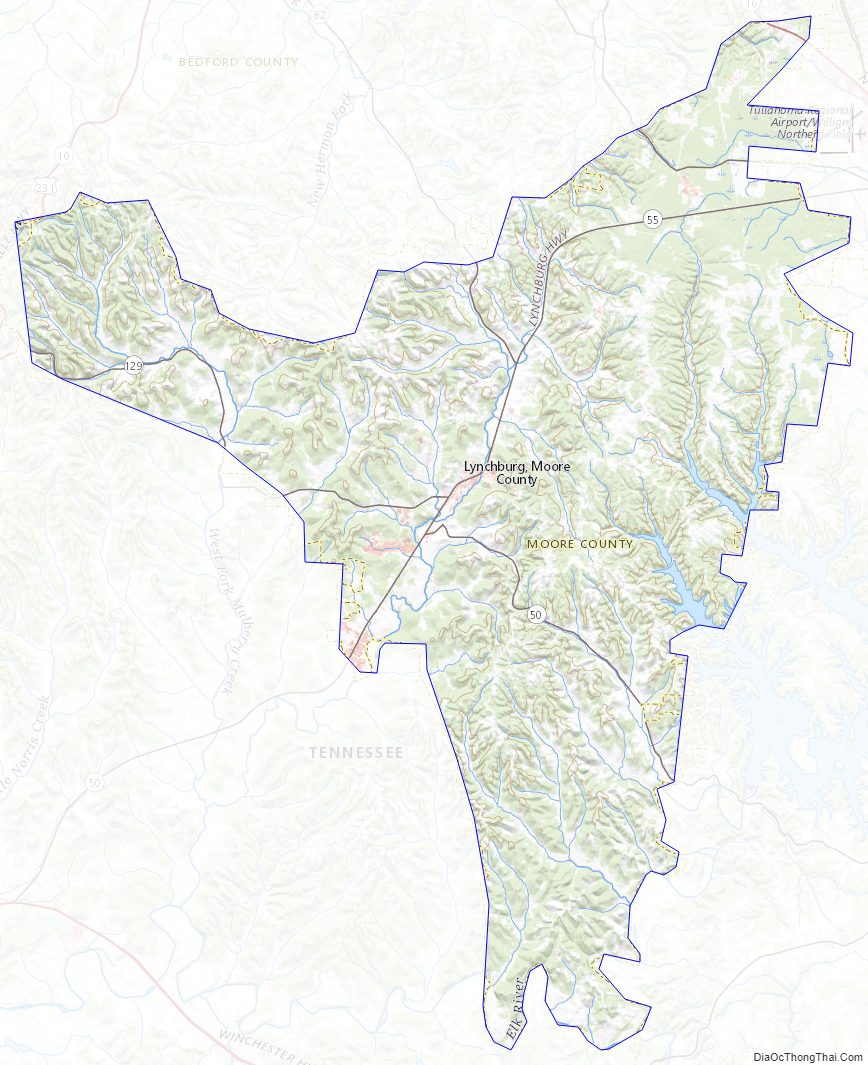
Moore County Topographic Map
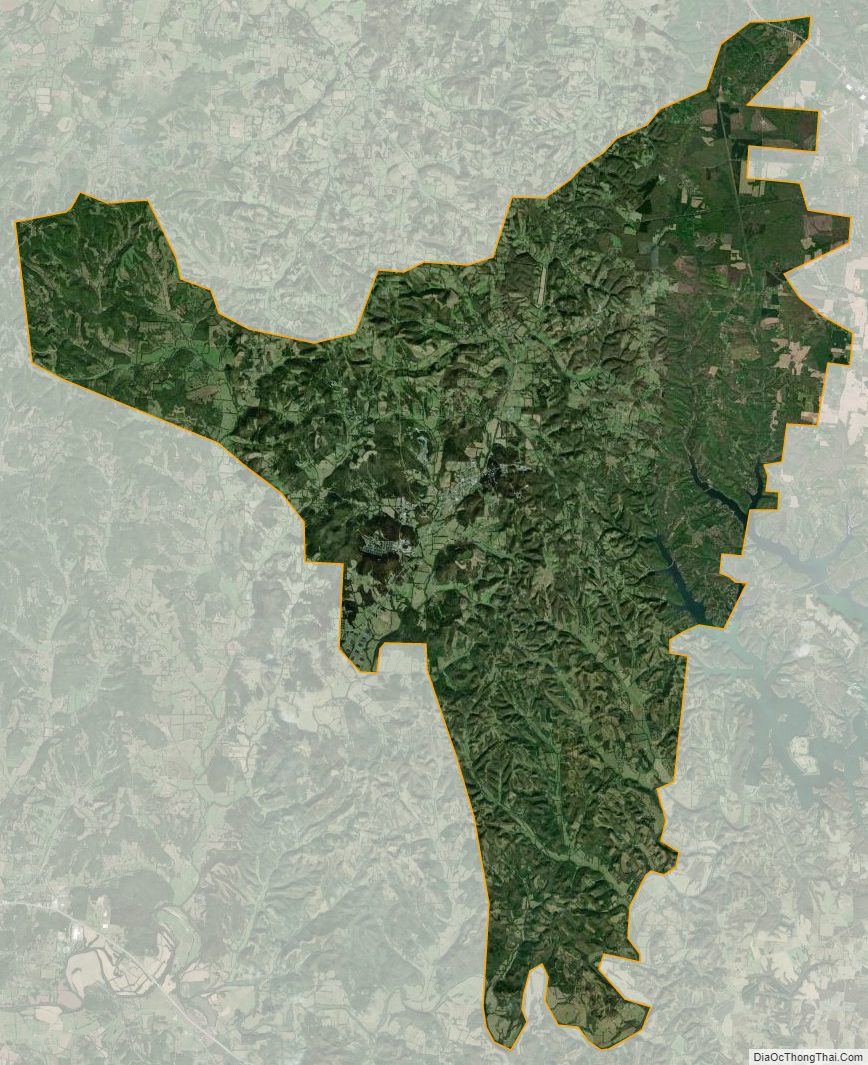
Moore County Satellite Map
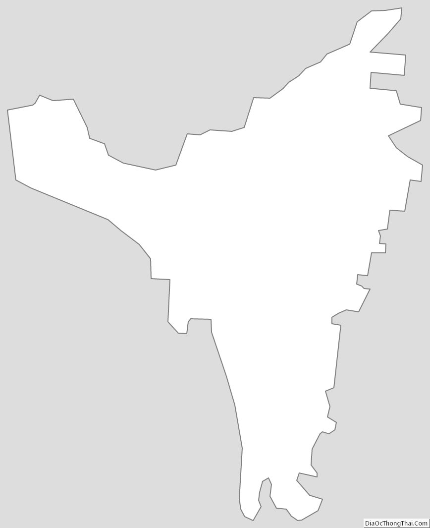
Moore County Outline Map