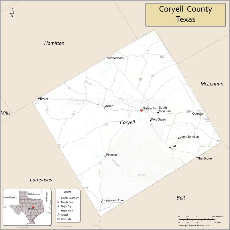
Coryell County (/ˈkɔːrjɛl/ KOR-yel) is a county located on the Edwards Plateau in the U.S. state of Texas. As of the 2020 census, its population was 83,093. The county seat is Gatesville. The county is named for James Coryell, a frontiersman and Texas Ranger who was killed by Caddo Indians.
Coryell County is part of the Killeen–Temple metropolitan statistical area.
| Name: | Coryell County |
|---|---|
| FIPS code: | 48-099 |
| State: | Texas |
| Founded: | 1854 |
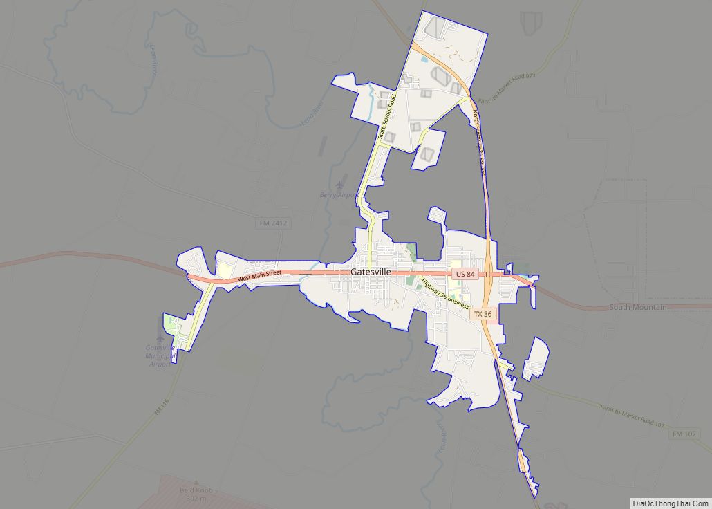
| Seat: | Gatesville |
| Largest city: | Copperas Cove |
| Total Area: | 1,057 sq mi (2,740 km²) |
| Land Area: | 1,052 sq mi (2,720 km²) |
| Total Population: | 83,093 |
| Population Density: | 79/sq mi (30/km²) |
| Time zone: | UTC−6 (Central) |
| Summer Time Zone (DST): | UTC−5 (CDT) |
| Website: | www.coryellcounty.org |
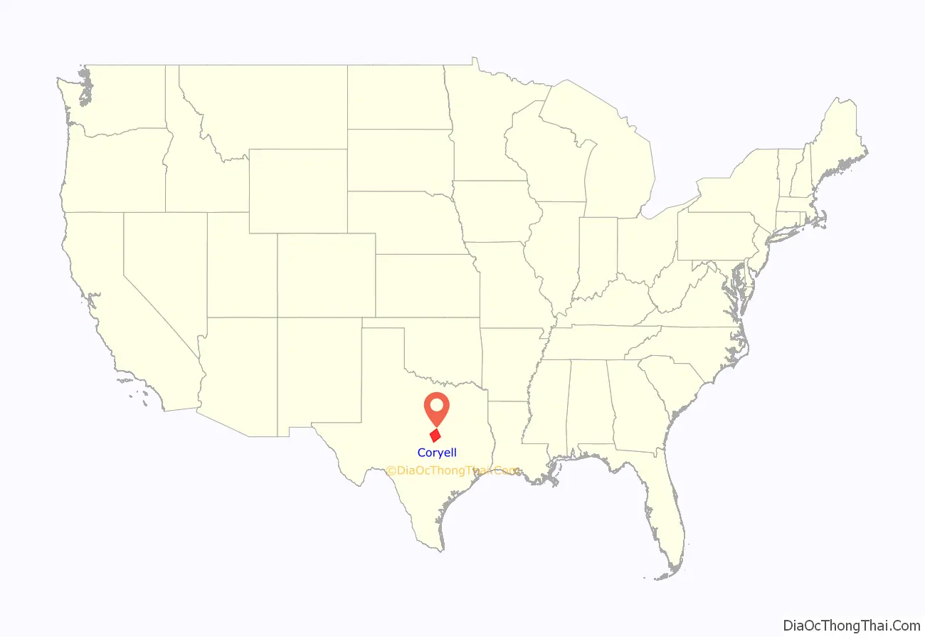
Coryell County location map. Where is Coryell County?
History
Habitation of Coryell County dates as far back as 4500 BC. The Tonkawa, Lipan Apache, Kiowa, and Comanche were among the tribes who migrated through the area at various periods. When the General Colonization Law went into effect in 1824, followed by the 1825 State Colonization Law of Coahuila y Tejas, Robert Leftwich obtained a grant to settle 800 families in Texas. The grant went through several legal challenges, and later became Robertson’s Colony, named for Sterling C. Robertson. The grant encompassed all or parts of 30 present-day Texas counties. Settlers began moving into the area after Fort Gates was established at Gatesville. The Texas state legislature created the county in 1854, naming it after Texas Ranger James Coryell. Originally, Coryell was to be named Pierce County, but the name was changed after James Coryell’s death at the hands of Caddo indians.
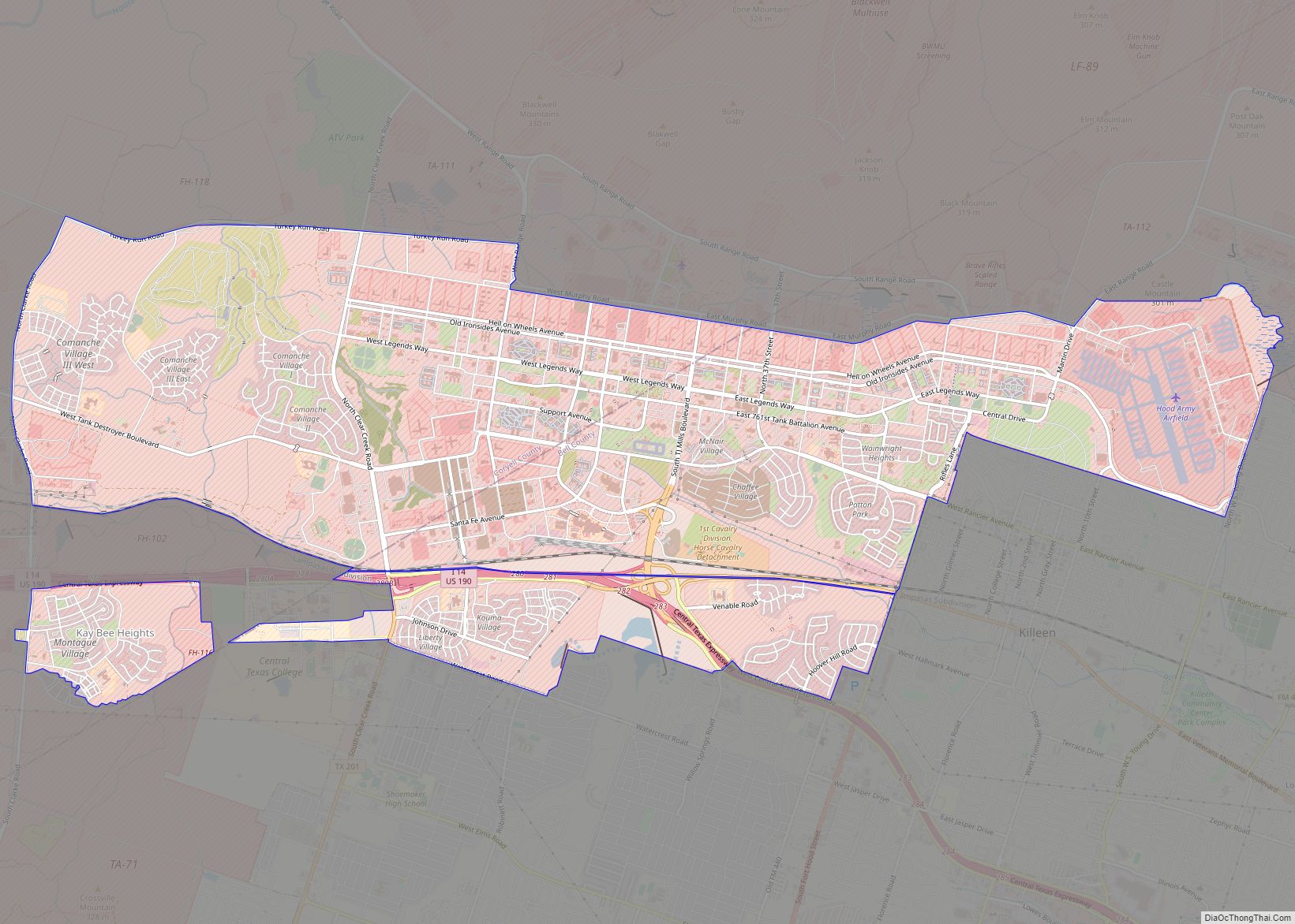
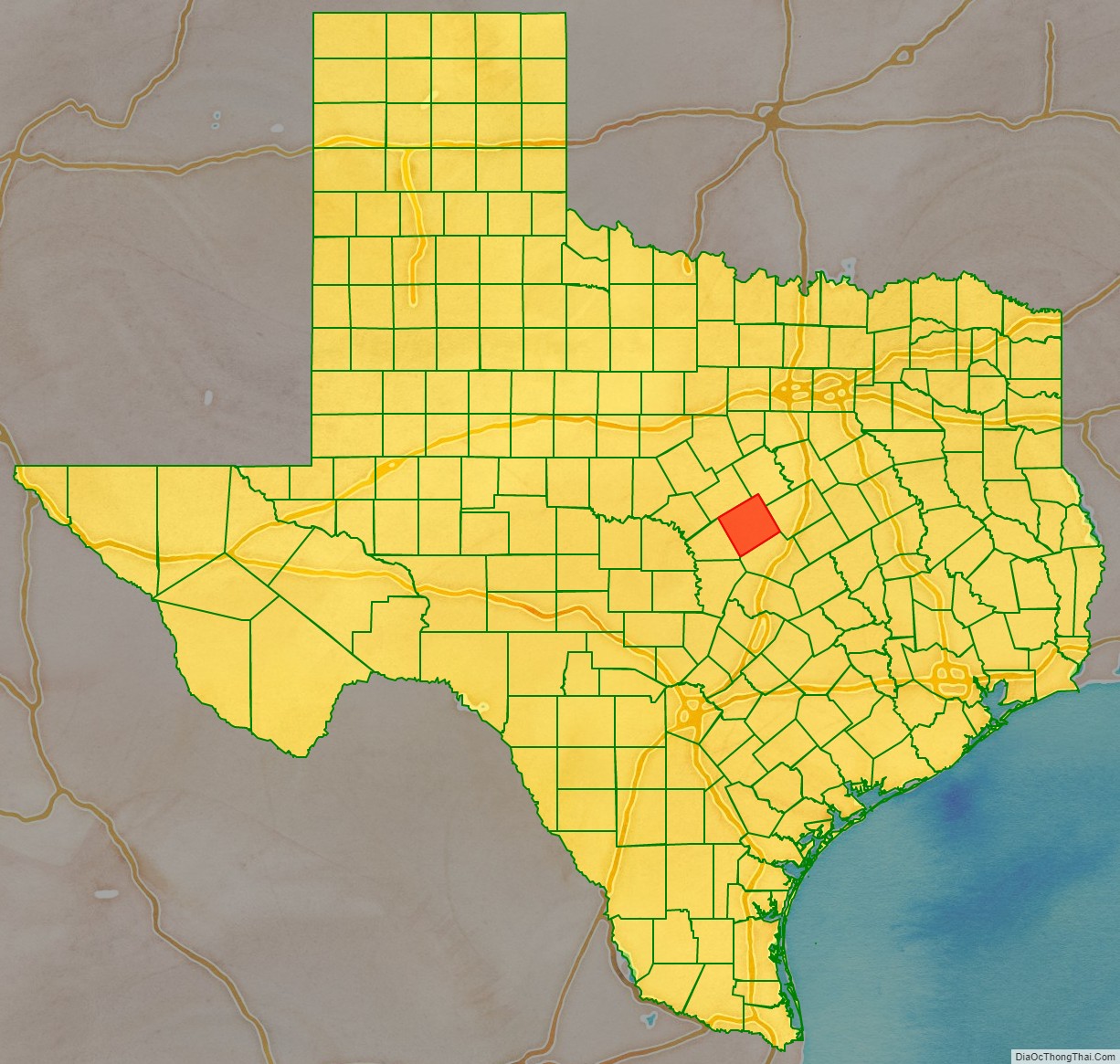
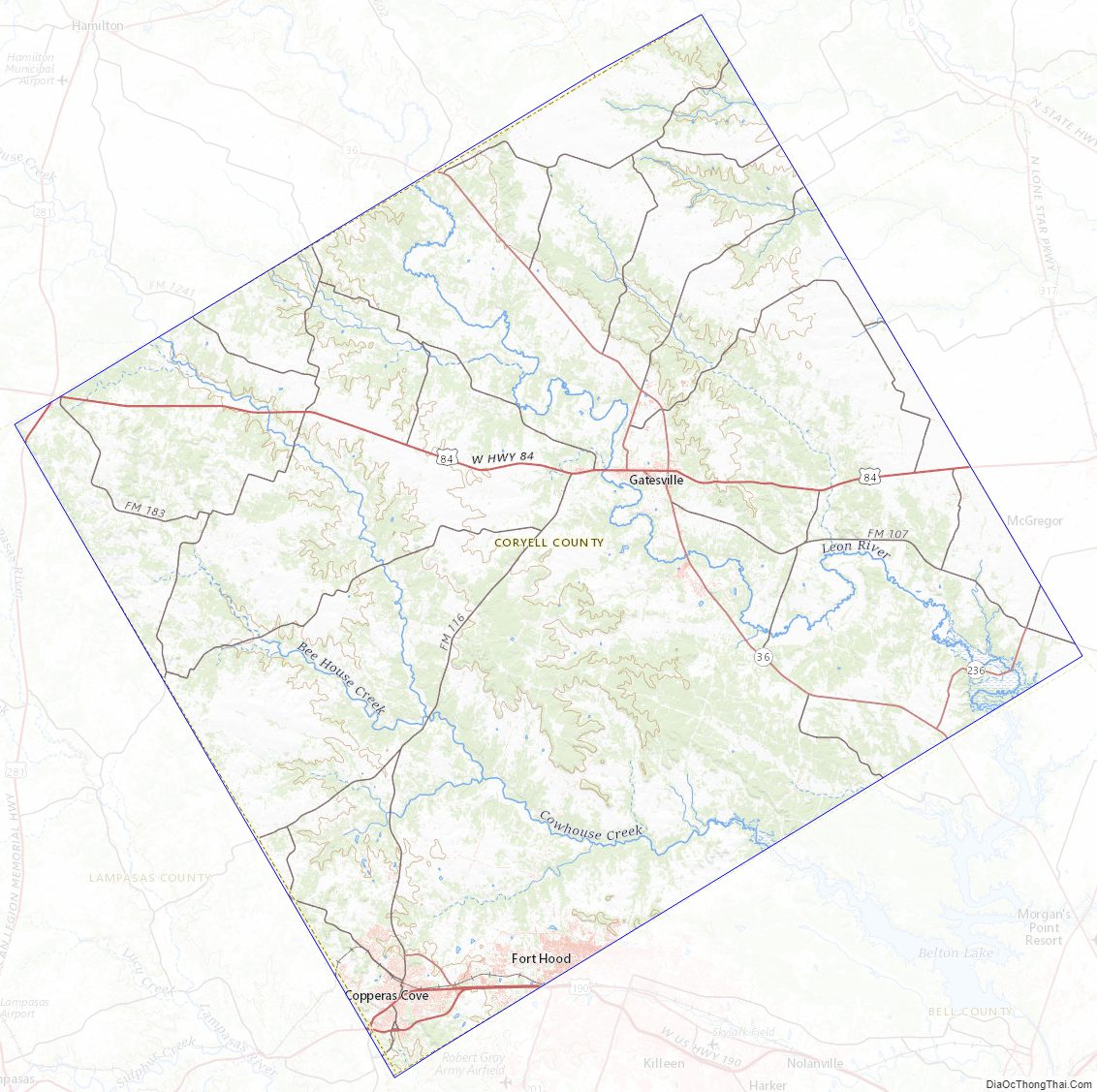
Coryell County Road Map
Geography
According to the U.S. Census Bureau, the county has a total area of 1,057 square miles (2,740 km), of which 4.7 sq mi (12 km) (0.4%) are covered by water.
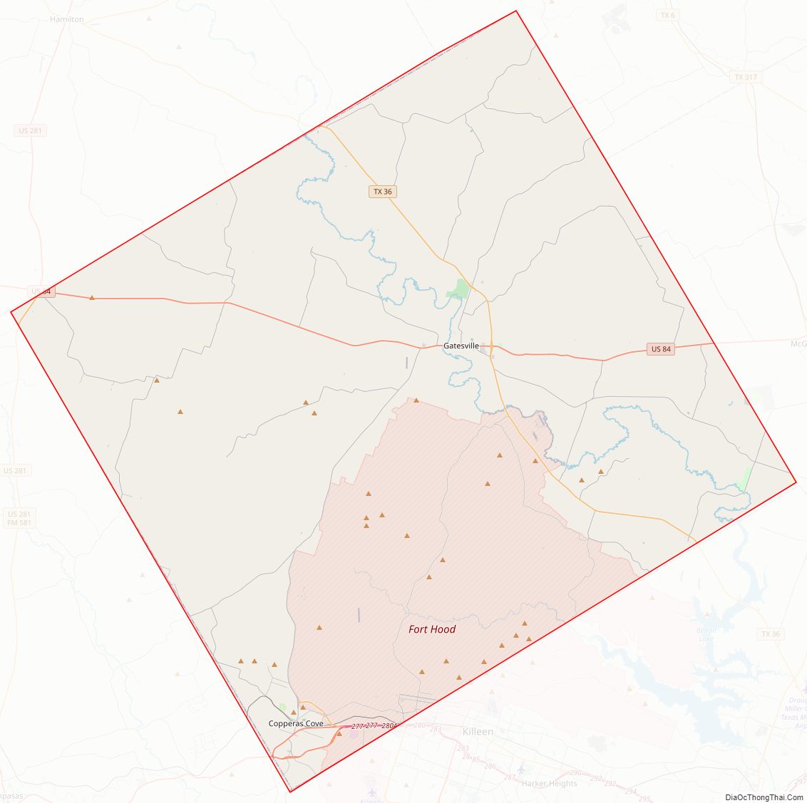
Major highways
- Interstate 14/U.S. Highway 190
- U.S. Highway 84
- U.S. Highway 281
- State Highway 36
Adjacent counties
- Bosque County (north)
- McLennan County (northeast)
- Bell County (southeast)
- Lampasas County (southwest)
- Hamilton County (northwest)
Coryell County Topographic Map
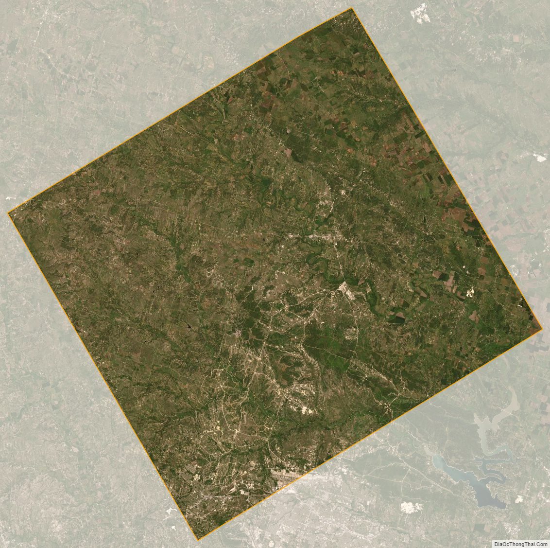
Coryell County Satellite Map
Coryell County Outline Map