| Name: | Smith County |
|---|---|
| FIPS code: | 47-159 |
| State: | Tennessee |
| Founded: | 1799 |
| Named for: | Daniel Smith |
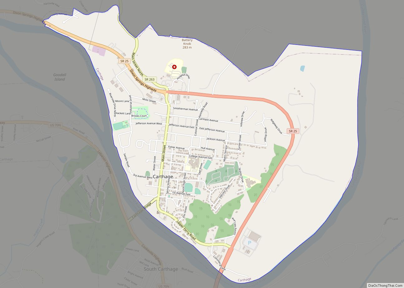
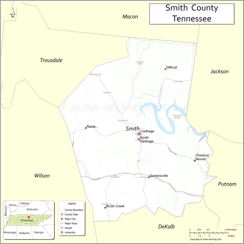
| Seat: | Carthage |
| Largest town: | Carthage |
| Total Area: | 325 sq mi (840 km²) |
| Land Area: | 314 sq mi (810 km²) |
| Total Population: | 19,904 |
| Population Density: | 61/sq mi (24/km²) |
| Time zone: | UTC−6 (Central) |
| Summer Time Zone (DST): | UTC−5 (CDT) |
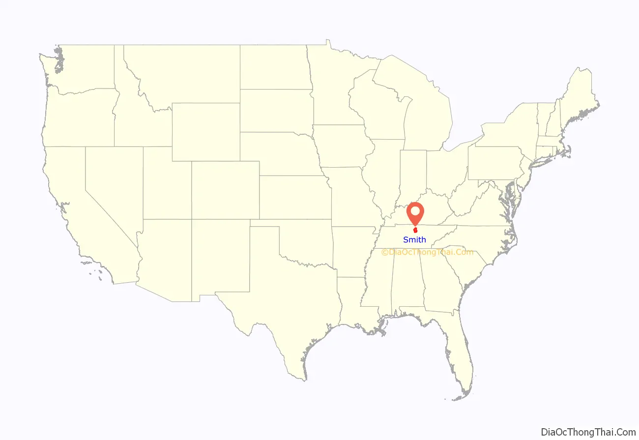
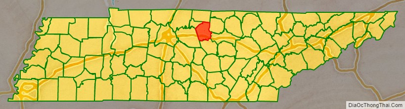
Smith County location map. Where is Smith County?
History
Smith County was established in 1799 from a portion of Sumner County, and was named for Daniel Smith, a U.S. Senator and former Secretary of the Southwest Territory. The location of the county seat was hotly contested between Bledsoesborough (near modern Dixon Springs) and William Walton’s ferry and tavern at the confluence of the Caney Fork and the Cumberland River. In 1804, voters chose Walton’s site, and a town, named Carthage, was platted the following year.
Smith County was the site of a large saltpeter mine. Piper Cave, located near Monoville, contains the poorly preserved remnants of dozens of saltpeter leaching vats. Most saltpeter mining in Middle Tennessee took place during the War of 1812 and the Civil War, though the exact dates of this operation are unclear.
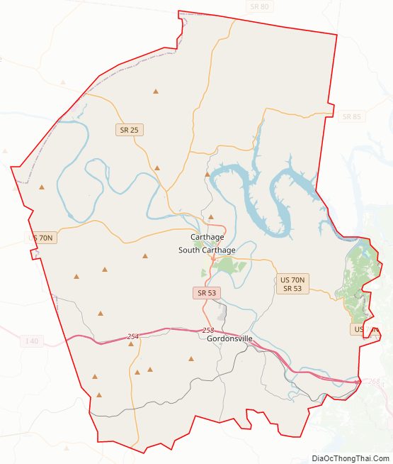
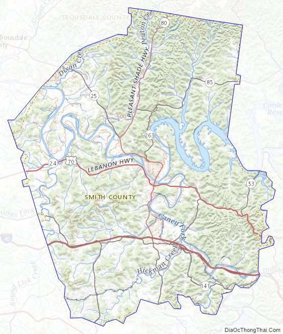
Smith County Road Map
Geography
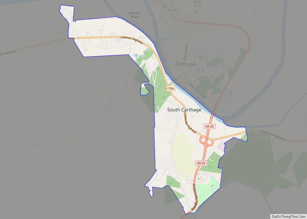
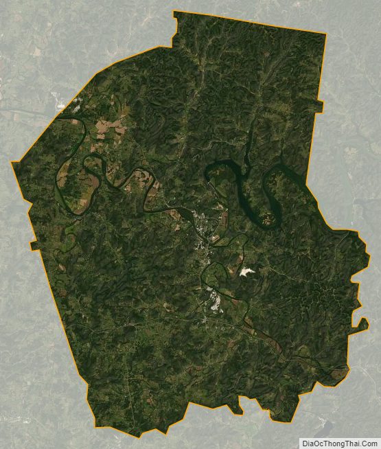
According to the U.S. Census Bureau, the county has a total area of 325 square miles (840 km), of which 314 square miles (810 km) is land and 11 square miles (28 km) (3.4%) is water. The county is located in a transition area between the rugged Highland Rim to the east and the flatter Nashville Basin to the west. The Caney Fork has its confluence with the Cumberland River in Carthage; these are the primary waterways flowing through the county. Cordell Hull Dam on the Cumberland is located near Carthage.
Adjacent counties
- Macon County (north)
- Jackson County (northeast)
- Putnam County (east)
- DeKalb County (southeast)
- Wilson County (west)
- Trousdale County (northwest)
State protected areas
- Cordell Hull Wildlife Management Area (part)
Highways
- I-40
- US 70N
- SR 25
- SR 53
- SR 80
- SR 85
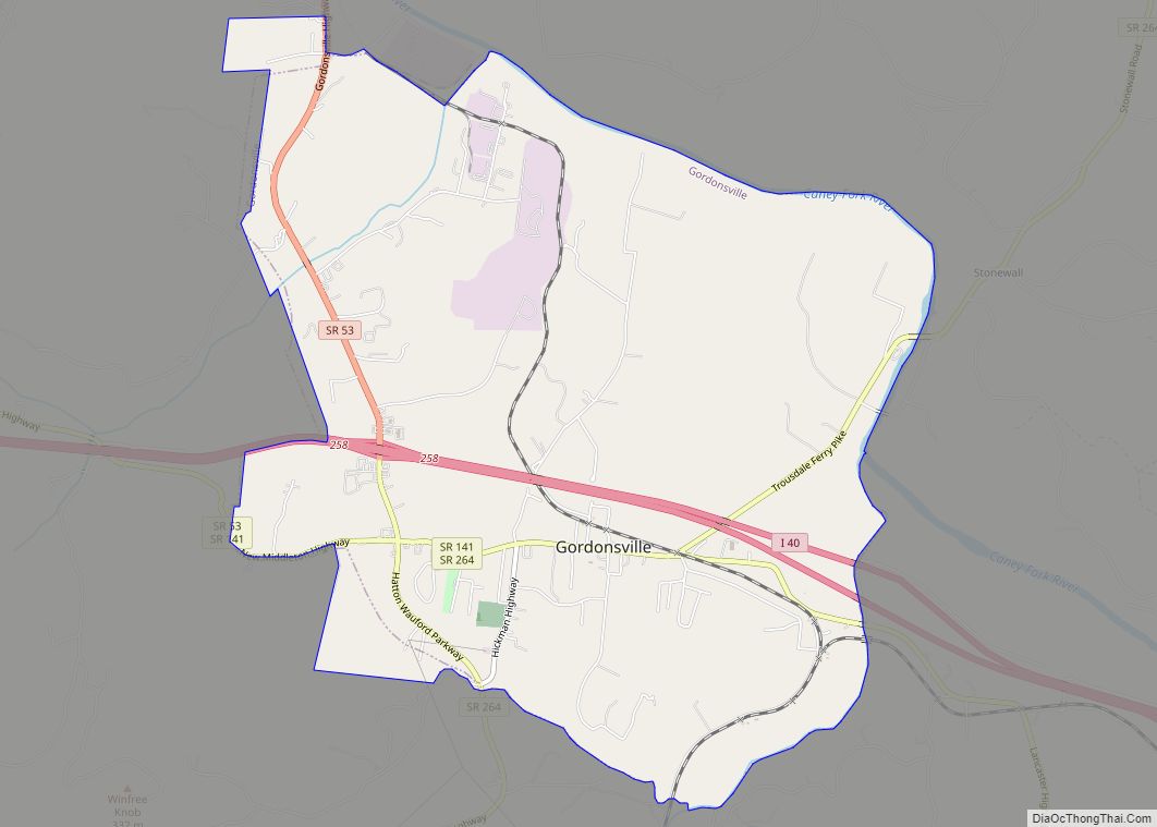
- SR 141
- SR 263
- SR 264
Smith County Topographic Map
Smith County Satellite Map
Smith County Outline Map