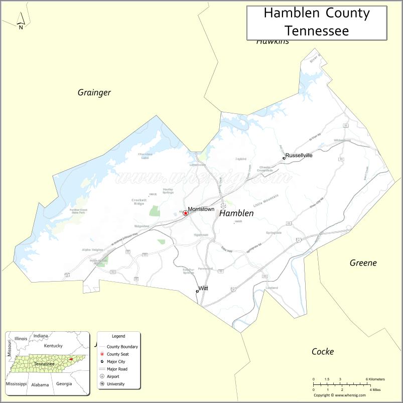
Hamblen County is a county located in the U.S. state of Tennessee. As of the 2020 census, the population was 64,499. Its county seat and only incorporated city is Morristown. Hamblen County is the core county of the Morristown Metropolitan Statistical Area, which includes Hamblen, Jefferson, and Grainger counties. The county and the Morristown MSA is included in the Knoxville-Morristown-Sevierville, TN Combined Statistical Area.
| Name: | Hamblen County |
|---|---|
| FIPS code: | 47-063 |
| State: | Tennessee |
| Founded: | 1870 |
| Named for: | Hezekiah Hamblen |
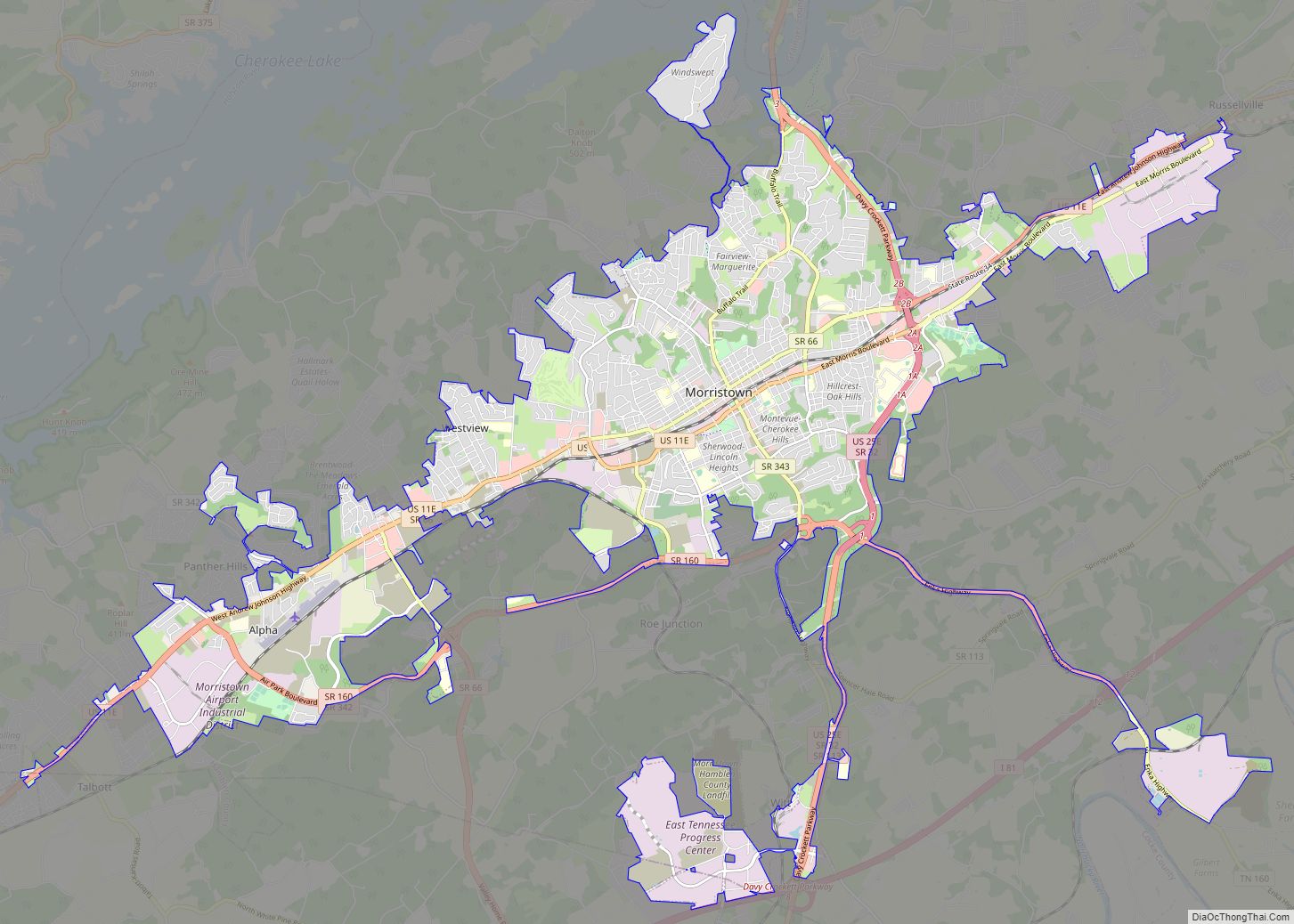
| Seat: | Morristown |
| Largest city: | Morristown |
| Total Area: | 176 sq mi (460 km²) |
| Land Area: | 161 sq mi (420 km²) |
| Total Population: | 64,499 |
| Population Density: | 400.61/sq mi (154.68/km²) |
| Time zone: | UTC−5 (Eastern) |
| Summer Time Zone (DST): | UTC−4 (EDT) |
| Website: | www.hamblencountytn.gov |
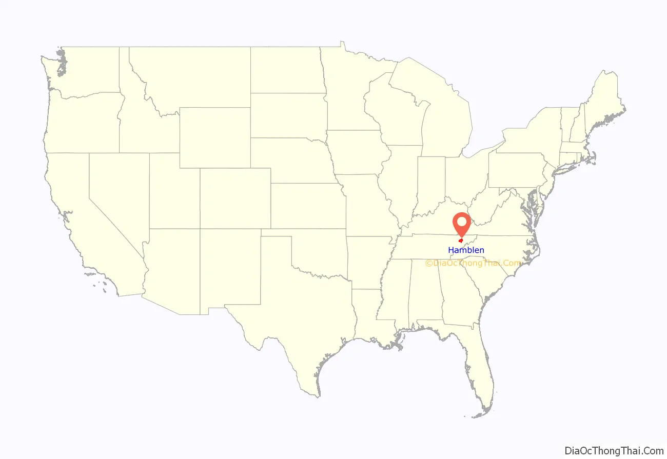
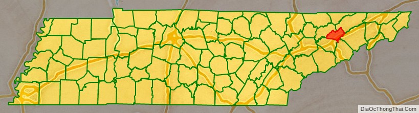
Hamblen County location map. Where is Hamblen County?
History
Hamblen County was created in 1870 from parts of Jefferson, Grainger, and Hawkins counties. The county is named in honor of Hezekiah Hamblen (1775–1854), an early settler, landowner, attorney, and member of the Hawkins County Court for many years. Governor Dewitt Clinton Senter, a resident of the county, used his influence to assist in its establishment. The Hamblen County Courthouse was completed in 1874.
During World War I, Hamblen County was the only county in the United States to have two Medal of Honor recipients. Edward R. Talley and Calvin Ward both earned them while fighting on the Western Front.
During World War II, the attack transport naval ship USS Hamblen was named after the county.
Historic sites
- Bethesda Presbyterian Church
- Crockett Tavern Museum
- Morristown College, now Fulton-Hill Park
- Morristown Main Street Historic District
- Rose Center
Hamblen County Road Map
Geography
According to the U.S. Census Bureau, the county has a total area of 176 square miles (460 km), of which 161 square miles (420 km) is land and 15 square miles (39 km) (8.3%) is water. It is the third-smallest county in Tennessee by land area and fourth-smallest by total area.
Adjacent counties
- Hawkins County (northeast)
- Greene County (east)
- Cocke County (south)
- Jefferson County (southwest)
- Grainger County (northwest)
State protected areas
- Panther Creek State Park
- Rankin Wildlife Management Area (partial)
Major highways
- I-81
- US 11E
- US 25E
- SR 66
- SR 113
- SR 160
- SR 340
- SR 341
- SR 342
- SR 343
- SR 344
Waterways
The main source of water on Hamblen County is the man-made Cherokee Lake. Cherokee Lake was created during WWII as part of the TVA hydroelectric project. The lake is fed by multiple sources, including a series of natural creeks and runoff waters. The lake begins with its first source at Poor Valley Creek in Hawkins County, extends through neighboring Grainger County and then Hamblen County. Cherokee Lake then ends with Cherokee Dam where the water is drained into the Holston River. In total, Cherokee Lake has 28,780 acres of surface area and extends for 400 miles of shoreline; though, only a portion of this resides in Hamblen County.
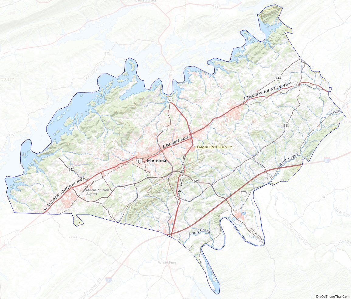
Hamblen County Topographic Map
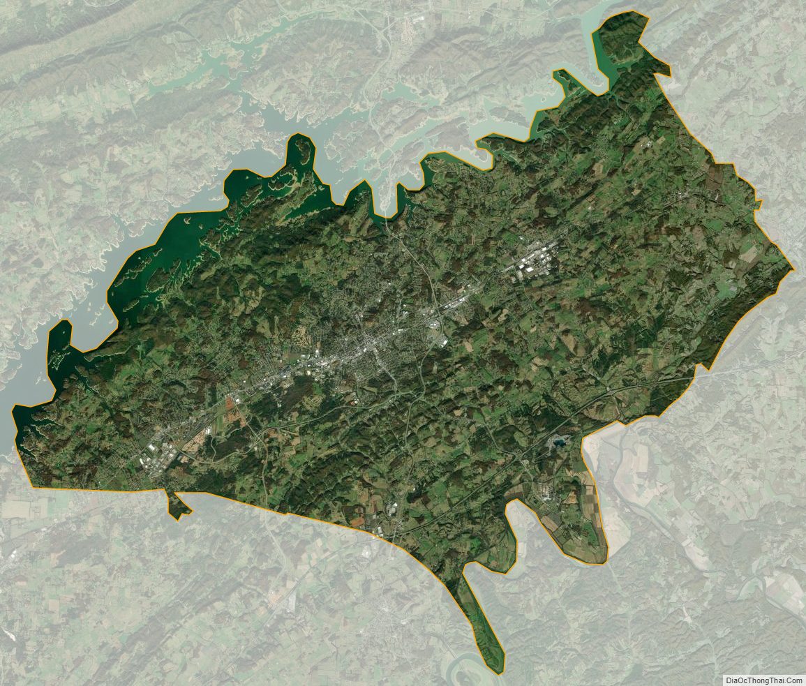
Hamblen County Satellite Map
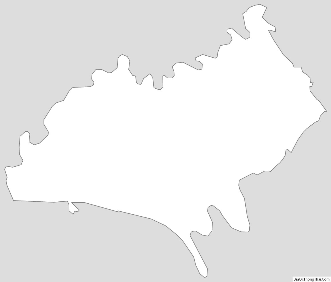
Hamblen County Outline Map