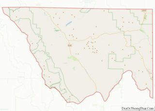
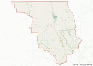
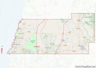
Map of Amador County, California
Amador County (/ˈæmədɔːr/ (listen)) is a county located in the U.S. state of California, in the Sierra Nevada. As of the 2020 census, the population was 40,474. The county seat is Jackson. Amador County, located within California’s Gold Country, is known as “The Heart of the Mother Lode”. There is a substantial viticultural industry in ... Read more
Map of Amador County, California
Map of Los Angeles County, California
Los Angeles County, officially the County of Los Angeles (Spanish: Condado de Los Ángeles), and sometimes abbreviated as L.A. County, is the most populous county in the United States, with 9,861,224 residents estimated in 2022. Its population is greater than that of 40 individual U.S. states. Comprising 88 incorporated cities and many unincorporated areas within ... Read more
Map of Los Angeles County, California
Map of San Benito County, California
San Benito County (/ˌsæn bəˈniːtoʊ/ (listen); San Benito, Spanish for “St. Benedict”), officially the County of San Benito, is a county located in the Coast Range Mountains of the U.S. state of California. As of the 2020 census, the population was 64,209. The county seat is Hollister. San Benito County is included in the San ... Read more
Map of San Benito County, California
Map of Sutter County, California
Sutter County is a county located in the U.S. state of California. As of the 2020 census, the population was 99,633. The county seat is Yuba City. Sutter County is included in the Yuba City, CA Metropolitan Statistical Area as well as the Sacramento–Roseville, CA Combined Statistical Area. The county is located along the Sacramento ... Read more
Map of Sutter County, California
Map of Chaffee County, Colorado
Chaffee County overview: Name: Chaffee County FIPS code: 08-015 State: Colorado Named for: Jerome B. Chaffee Seat: Salida Largest city: Salida Total Area: 1,015 sq mi (2,630 km²) Land Area: 1,013 sq mi (2,620 km²) Total Population: 20,074 Population Density: 19/sq mi (7/km²) Time zone: UTC−7 (Mountain) Summer Time Zone (DST): UTC−6 (MDT) Website: www.chaffeecounty.org Chaffee County location map. Where is Chaffee ... Read more
Map of Chaffee County, Colorado
Map of Gilpin County, Colorado
Gilpin County is a county located in the U.S. state of Colorado, smallest in land area behind only the City and County of Broomfield. As of the 2020 census, the population was 5,808. The county seat is Central City. The county was formed in 1861, while Colorado was still a territory, and was named after ... Read more
Map of Gilpin County, Colorado
Map of Mineral County, Colorado
Mineral County overview: Name: Mineral County FIPS code: 08-079 State: Colorado Founded: March 27, 1893 Seat: Creede Largest town: Creede Total Area: 878 sq mi (2,270 km²) Land Area: 876 sq mi (2,270 km²) Total Population: 924 Population Density: 1.0/sq mi (0.4/km²) Time zone: UTC−7 (Mountain) Summer Time Zone (DST): UTC−6 (MDT) Website: mineralcounty.colorado.gov Mineral County location map. Where is Mineral County? ... Read more
Map of Mineral County, Colorado
Map of San Juan County, Colorado
San Juan County is a county located in the U.S. state of Colorado. As of the 2020 census, the population was 705, making it the least populous county in Colorado. The county seat and the only incorporated municipality in the county is Silverton. The county name is the Spanish language name for “Saint John”, the ... Read more
Map of San Juan County, Colorado
Map of Kent County, Delaware
Kent County is a county located in the central part of the U.S. state of Delaware. As of the 2020 census, the population was 181,851, making it the least populous county in Delaware. The county seat is Dover, the state capital of Delaware. It is named for Kent, an English county. Kent County comprises the ... Read more
Map of Kent County, Delaware
Map of Desoto County, Florida
Desoto County overview: Name: Desoto County FIPS code: 12-027 State: Florida Founded: May 19, 1887 Named for: Hernando de Soto Seat: Arcadia Largest city: Arcadia Total Area: 639 sq mi (1,660 km²) Land Area: 637 sq mi (1,650 km²) Total Population: 33,976 Population Density: 55/sq mi (21/km²) Time zone: UTC−5 (Eastern) Summer Time Zone (DST): UTC−4 (EDT) Website: www.desotobocc.com Desoto County location ... Read more
Map of Desoto County, Florida
Map of Holmes County, Florida
Holmes County is a county located in the northwestern part of the U.S. state of Florida, in the Panhandle. As of the 2020 census, the population was 19,653. Its county seat is Bonifay. Holmes County overview: Name: Holmes County FIPS code: 12-059 State: Florida Founded: January 8, 1848 Seat: Bonifay Largest city: Bonifay Total Area: ... Read more
Map of Holmes County, Florida
Map of Nassau County, Florida
Nassau County is the northeasternmost county of the U.S. state of Florida. According to the 2020 United States Census, the county’s population was 90,352. The county seat and the largest incorporated city is Fernandina Beach. Nassau County is part of the Jacksonville metropolitan area, which was home to 1,534,701 people in 2018. The county is situated ... Read more
Map of Nassau County, Florida