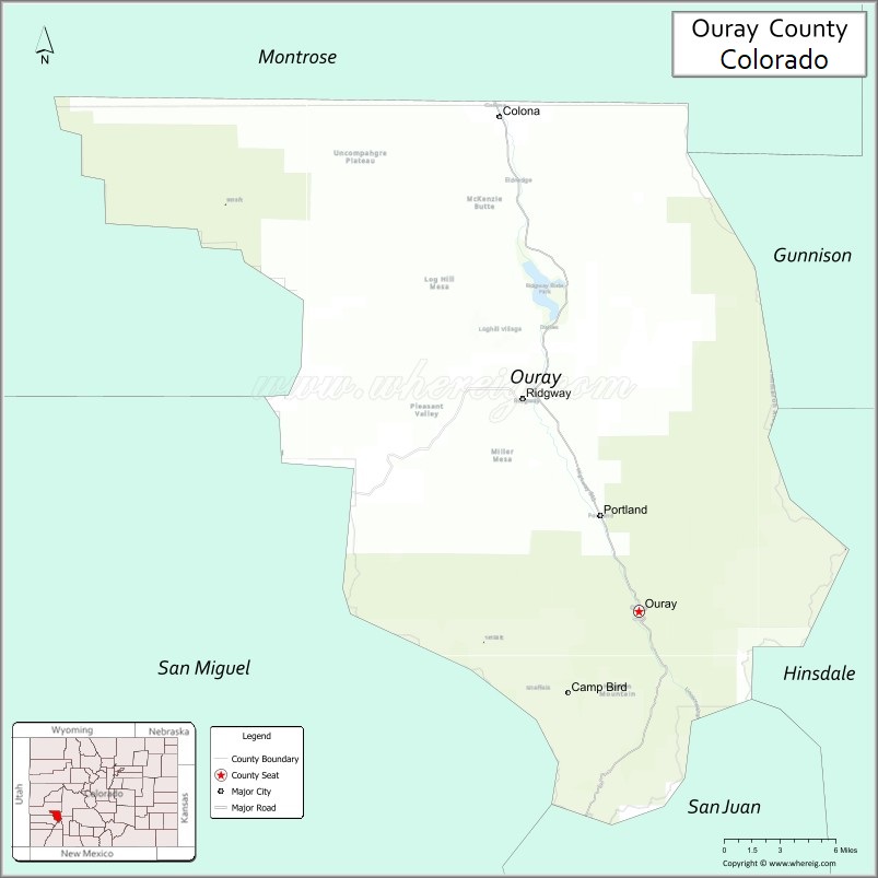
Ouray County /ˈjʊəreɪ/ is a county located in the U.S. state of Colorado. As of the 2020 census, the population was 4,874. The county seat is Ouray. Because of its rugged mountain topography, Ouray County is also known as the Switzerland of America.
| Name: | Ouray County |
|---|---|
| FIPS code: | 08-091 |
| State: | Colorado |
| Founded: | January 18, 1877 |
| Named for: | Chief Ouray |
| Seat: | Ouray |
| Largest city: | Ridgway |
| Total Area: | 542 sq mi (1,400 km²) |
| Land Area: | 542 sq mi (1,400 km²) |
| Total Population: | 5,035 |
| Population Density: | 9.0/sq mi (3.5/km²) |
| Time zone: | UTC−7 (Mountain) |
| Summer Time Zone (DST): | UTC−6 (MDT) |
| Website: | www.ouraycountyco.gov |
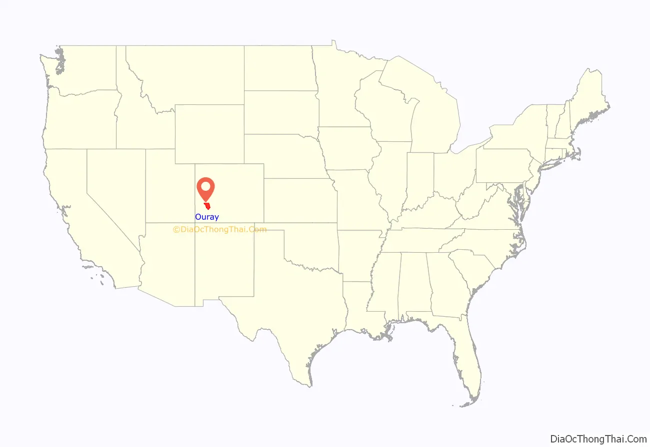
Ouray County location map. Where is Ouray County?
History
Ouray County was formed out of San Juan County on 18 January 1877, the first county designated by the newly formed Colorado State Legislature. It was named for Chief Ouray, a distinguished Ute Indian chief. Ouray was designated county seat on 8 March 1877. On 19 February 1881, Dolores County was formed out of Ouray County.
On 27 February 1883, Ouray County was split into San Miguel County and what is currently Ouray County. The portion that became San Miguel County almost retained the name Ouray County when the Colorado General Assembly initially renamed Ouray County as Uncompaghre County. Four days later on 2 March 1883, the General Assembly changed its mind and changed the name of Uncompaghre County back to Ouray County.
The Ouray County Courthouse was constructed in Ouray in 1888 and is located on the National Register of Historic Places.
Mining operators in the San Juan mountain area of Colorado formed the San Juan District Mining Association (SJDMA) in 1903, as a direct result of a Western Federation of Miners proposal to the Telluride Mining Association for the eight-hour day, which had been approved in a referendum by 72 percent of Colorado voters. The new association consolidated the power of thirty-six mining properties in San Miguel, Ouray, and San Juan counties. The SJDMA refused to consider any reduction in hours or increase in wages, helping to provoke a bitter strike.
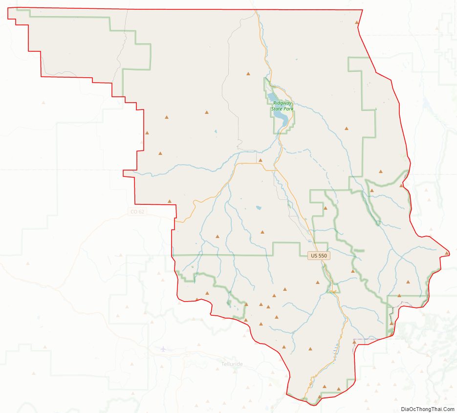
Ouray County Road Map
Geography
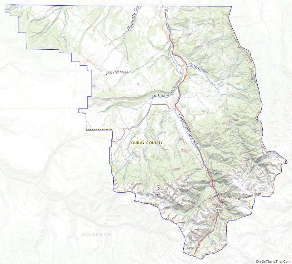
According to the U.S. Census Bureau, the county has a total area of 542 square miles (1,400 km), of which 542 square miles (1,400 km) is land and 0.6 square miles (1.6 km) (0.1%) is water. The highest mountain in Ouray County is Mount Sneffels at 14,150 feet above sea level. Many high peaks of more than 13,300 feet also exist. Other prominent features in Ouray County include Log Hill Mesa and Pleasant Valley.
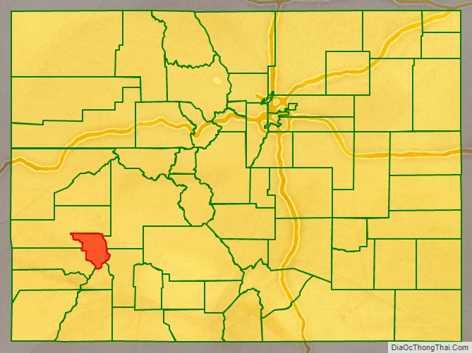
Adjacent counties
- Montrose County – north
- Gunnison County – northeast
- Hinsdale County – southeast
- San Juan County – south
- San Miguel County – southwest
Major Highways
- U.S. Highway 550
- State Highway 62
Ouray County Topographic Map
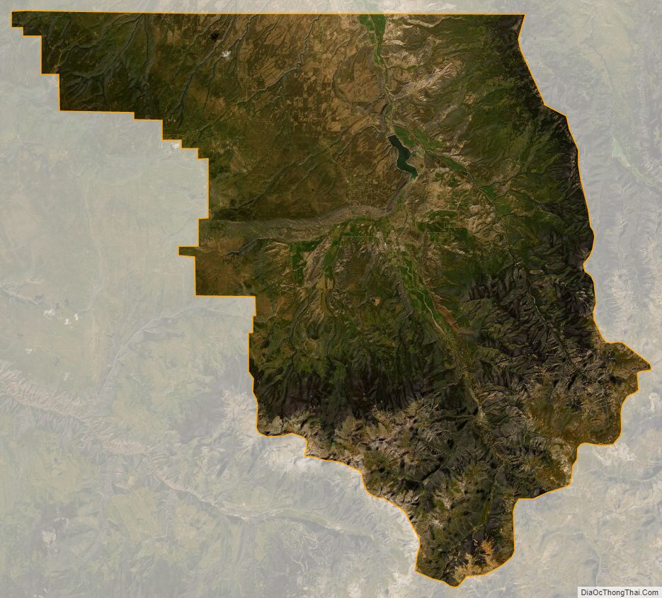
Ouray County Satellite Map
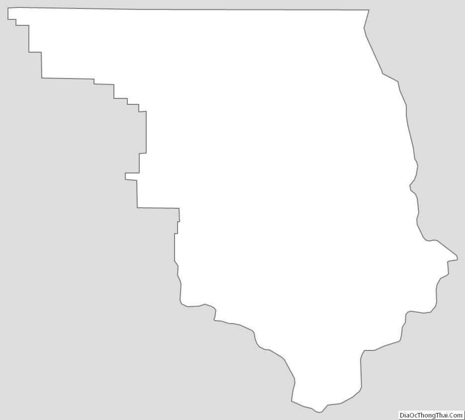
Ouray County Outline Map