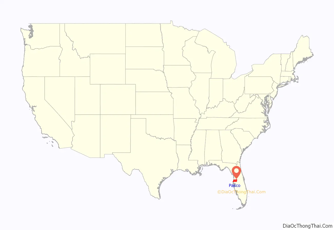
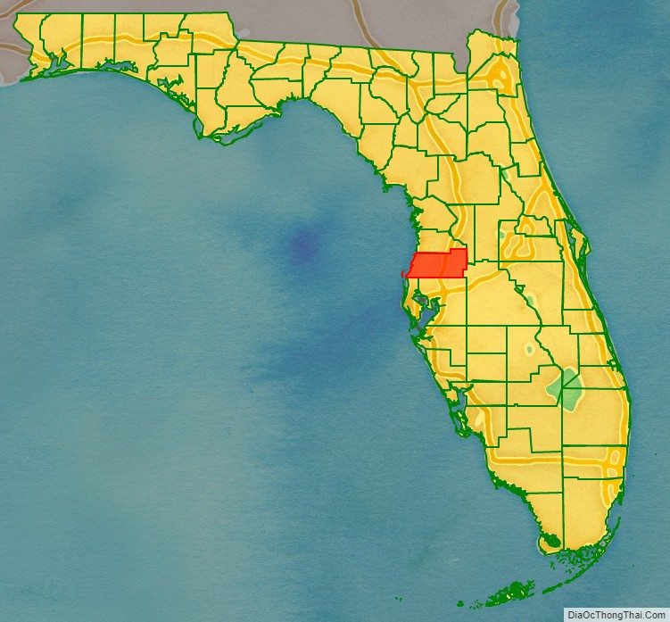
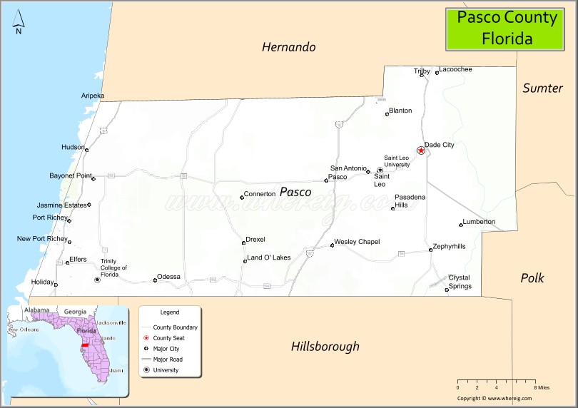
Pasco County is located on the west central coast of the U.S. state of Florida. According to the 2020 census, the population was 561,691. Its county seat is Dade City, and its largest city is Zephyrhills. The county is named after Samuel Pasco.
Pasco County is included in the Tampa Bay Area and is primarily a bedroom community for Tampa and St. Petersburg.
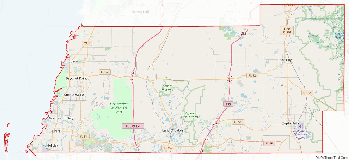
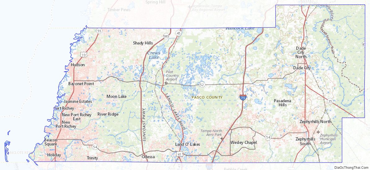
It includes numerous parks and trails located along rivers, the Gulf of Mexico, lakes, and highway/railroad right-of-ways. Several nudist resorts are located in Pasco. It has become known as the “naturist capital of the United States,” beginning with a development in 1941. West Pasco includes retirement areas, commercial fishing, and suburbs of Tampa. The Suncoast Parkway as well as U.S. 19, U.S. 41, U.S. 98, U.S. 301, and Interstate 75 all pass through Pasco. The county is directly west of Polk and Sumter counties, north of Hillsborough and Pinellas counties, and south of Hernando County.
| Name: | Pasco County |
|---|---|
| FIPS code: | 12-101 |
| State: | Florida |
| Founded: | June 2, 1887 |
| Named for: | Samuel Pasco |
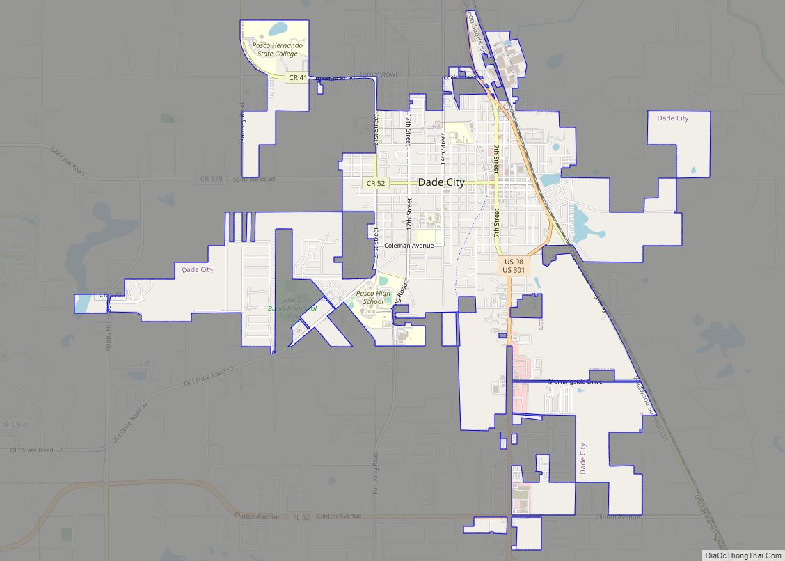
| Seat: | Dade City |
| Total Area: | 868 sq mi (2,250 km²) |
| Land Area: | 747 sq mi (1,930 km²) |
| Total Population: | 561,891 |
| Population Density: | 752/sq mi (290/km²) |
| Time zone: | UTC−5 (Eastern) |
| Summer Time Zone (DST): | UTC−4 (EDT) |
| Website: | www.pascocountyfl.net |
Pasco County location map. Where is Pasco County?
History
Pasco County was created on June 2, 1887, from the southern third of Hernando County. The same legislation also created Citrus County from the northern third of Hernando County. The county was named after Samuel Pasco, who had just been elected to the United States Senate.
Dade City was named the temporary county seat until a popular vote was held in 1889, at which time voters made Dade City the permanent county seat. As early as 1917, residents of the western part of the county proposed forming a separate county or merging with Pinellas County, as Dade City was not centrally located in the county. The issue was finally resolved in the late 1970s with the construction of identical government centers in both Dade City and New Port Richey.
The earliest towns were Anclote, Blanton, Dade City, Earnestville, Fort Dade (not to be confused with Fort Dade on Egmont Key), Macon (Trilby), Lacoochee, St. Leo, and San Antonio. Citrus was an important industry when the county was formed, although a decline followed a freeze in 1895. Several large sawmills operated in the county in the early part of the 20th century.
During the Florida land boom of the 1920s, New Port Richey became the winter home of silent screen star Thomas Meighan and golfer Gene Sarazen; Meighan attempted to bring other Hollywood figures to the city. The county has experienced significant population growth since the 1960s. The growth began along the Gulf coast but is now occurring most rapidly in areas north of Tampa.
Pasco County Road Map
Geography
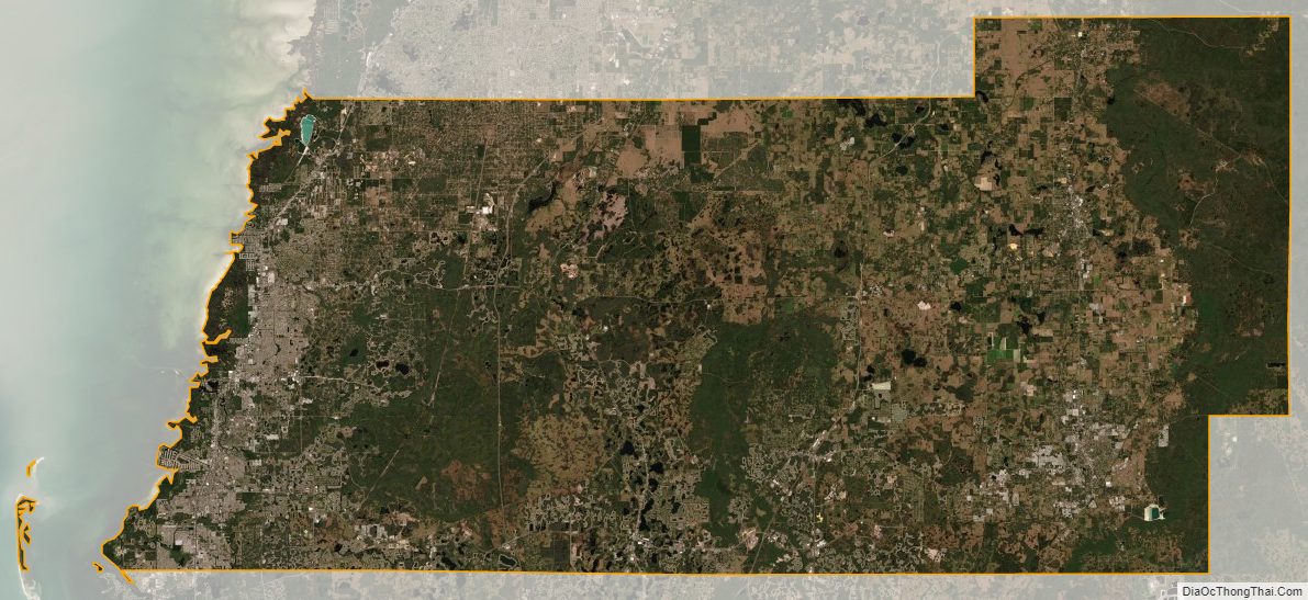
According to the U.S. Census Bureau, the county has a total area of 868 square miles (2,250 km), of which 747 sq mi (1,930 km) is land and 122 sq mi (320 km) (14.0%) is water.
A portion of Eastern Pasco County contains rolling topography with elevations from 100 to 160 ft (30 to 49 m), along with San Antonio and St. Leo.
Adjacent counties
- Hernando County—north
- Sumter County—northeast
- Polk County—southeast
- Hillsborough County—south
- Pinellas County—southwest
Climate
The county has a humid subtropical climate (Cwa) and average temperatures in Dade City range from 59.2 °F in January to 82.1 °F in July and August while in Port Richey they range from 59.0 °F in January to 82.2 °F in August. PRISM Climate Group at Oregon State University
Pasco County Topographic Map
Pasco County Satellite Map
Pasco County Outline Map