Lee County is located in southwestern Florida on the Gulf Coast. As of the 2020 census, the population was 760,822. The county seat is Fort Myers (with a population of 86,395 as of the 2020 census), and the largest city is Cape Coral with an estimated 2020 population of 194,016. The county comprises the Cape Coral–Fort Myers, FL Metropolitan Statistical Area.
Lee County was established in 1887 from Monroe County. Fort Myers is the county seat and a center of tourism in Southwest Florida. It is about 120 miles (190 km) south of Tampa at the meeting point of the Gulf of Mexico and the Caloosahatchee River. Lee County is the home for spring training of the Boston Red Sox and Minnesota Twins Major League Baseball teams.
| Name: | Lee County |
|---|---|
| FIPS code: | 12-071 |
| State: | Florida |
| Founded: | May 13, 1887 |
| Named for: | Robert E. Lee |
| Seat: | Fort Myers |
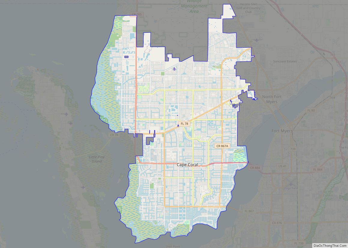
| Largest city: | Cape Coral |
| Total Area: | 1,212 sq mi (3,140 km²) |
| Land Area: | 785 sq mi (2,030 km²) |
| Total Population: | 760,822 |
| Population Density: | 969.2/sq mi (374.2/km²) |
| Time zone: | UTC−5 (Eastern) |
| Summer Time Zone (DST): | UTC−4 (EDT) |
| Website: | www.leegov.com |
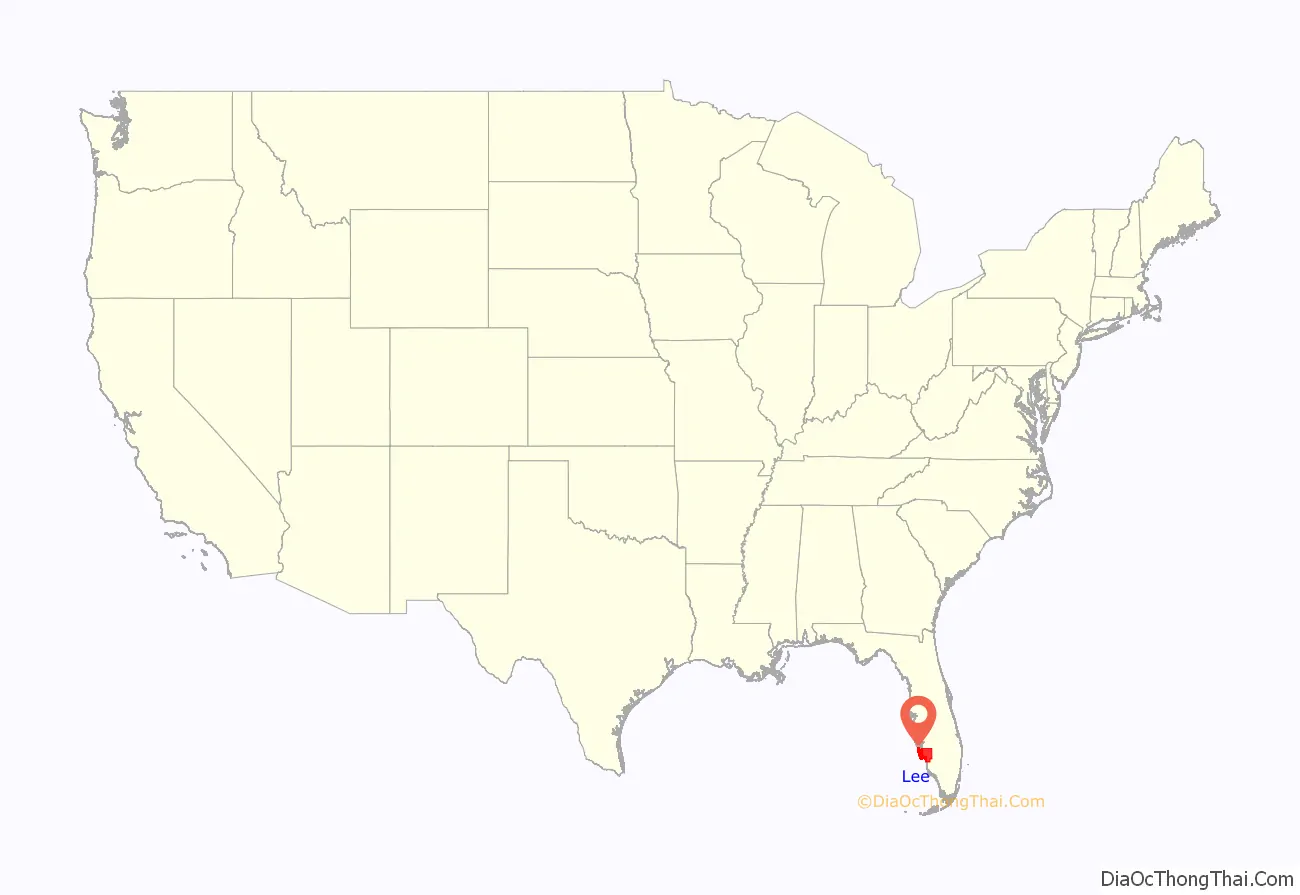
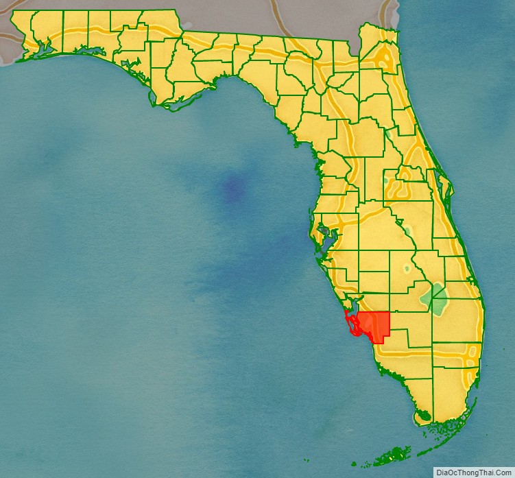
Lee County location map. Where is Lee County?
History
Protohistory and European contact (500-1799)
The area that is now Lee County has several archaeological sites that show evidence of habitation by peoples belonging to the Caloosahatchee culture (500 AD to 1750 AD). By the time of European contact, the area was more specifically occupied by the Calusa. After European contact, fishermen from Cuba and other Spanish colonies set up fishing camps, known as “ranchos”, on the southern portion of the Gulf Coast of Florida. These ranchos extended from Charlotte Harbor (estuary) down to San Carlos Bay and the mouth of the Caloosahatchee. These ranchos, likely established in the latter parts of the 1600’s, were precursors to the larger European settlements that would be established in the following centuries. As the 18th century came to an end, the Calusa who had once inhabited the area were replaced with the Seminole. In particular, in 1799, an Indian agent noted the existence of a Seminole town on the “Cull-oo-saw-hat-che” or Caloosahatchee River.
Fort established (1850s–1860s)
After Florida became a U.S. territory in 1821, a number of settlers moved into Florida, causing conflict with the local Seminole Indians. Fort Myers was built in 1850 as a military fort to fend off Seminole Indians during the Seminole Wars. The fort was named after Col. Abraham C. Myers, who was stationed in Florida for seven years and was the son-in-law of the fort’s establisher and commander. In 1858, after years of elusive battle, Chief Billy Bowlegs and his warriors were persuaded to surrender and move west, and the fort was abandoned. Billy’s Creek, which flows into the Caloosahatchee River, was named after a temporary camp where Billy Bowlegs and his men awaited ships to take them west. In 1863, the fort was reoccupied by federal troops during the Civil War. In 1865, in the Battle of Fort Myers, the fort was attacked by a small group of Confederates. The Union’s garrison, led by Captain James Doyle, successfully held the fort and the Confederate forces retreated. After the war, the fort was again deserted. The fort was later disassembled and some of its wood was used to build parts of downtown Fort Myers.
Settlement and early growth (1860s–1920s)
During the Civil War, Fort Myers was occupied by federal troops with the intention of disrupting the Confederate cattle supply from Florida. In February 1865, it was the site of the Battle of Fort Myers. The first settlers in Fort Myers arrived in 1866. In the 1870s, Tervio Padilla, a wealthy merchant from the Canary Islands, came by way of Key West to Cayo Costa and established trade with natives and “ranchos” that extended northward to Charlotte Harbor. His ships often made port at Cayo Costa at the entrance to the harbor. Enchanted by the tropical island, he eventually decided to settle there. Padilla prospered until the outbreak of the Spanish–American War, when his fleet was burned and scuttled. He then turned to another means of livelihood – fishing. When the government claimed his land, he was disinclined to set up another ranch, so moved with his wife further down the island and as before, simply homesteaded. The Padilla family is one of the first pioneer families of Lee County and many still reside within the county mainly around the Pine Island area.
In 1882, the city experienced a significant influx of settlers. In 1885, when Fort Myers was incorporated, its population of 349 residents made it the second-largest city only to Tampa on Florida’s west coast south of Cedar Key, even larger than Clearwater and Sarasota, also growing cities at the time. Lee County was formed in 1887 from Monroe County, with Fort Myers serving as the county seat. It was named for Robert E. Lee, Confederate general in the American Civil War. Fort Myers first became a nationally known winter resort with the opening of the Royal Palm Hotel in 1898, built by New York City department store magnate Hugh O’Neill. Fort Myers was the frequent winter home of Thomas Edison, as well as Henry Ford. In 1911, Fort Myers was incorporated as a city. In 1923, Collier and Hendry Counties were created by splitting these areas from Lee County. Construction of the Tamiami Trail Bridge, built across the Caloosahatchee River in 1924, sparked the city’s growth. After the bridge’s construction, the city experienced its first real estate boom and many subdivisions sprouted around the city. In 1927, a property purchased by the City of Fort Myers was turned into an airport eventually called Page Field.
Modern growth (1940s–present)
During World War II, Page Field served as an advanced fighter training base and home to the several bomber groups. Following the war, a small terminal was built in the mid-1950s as the airport transitioned to commercial use. Another airfield was constructed in 1942 called Buckingham Army Airfield. The base was closed down in 1945, after which the barracks served as classrooms for Edison College until 1948. Following the end of World War II, the Royal Palm Hotel was closed permanently, and in 1947, the hotel on the corner of First and Fowler was torn down.
Lee County has been the host to several Major League Baseball teams for spring training over the past several decades.
The county received a boost in 1983 when Southwest Florida Regional Airport (now known as Southwest Florida International Airport) opened.
On August 13, 2004, the county was struck by Hurricane Charley, a category 4 storm, particularly on the northwestern islands of Captiva, Gasparilla, and North Captiva. On September 10, 2017, Lee County was struck by Hurricane Irma as a Category 2 storm. On September 28, 2022, Hurricane Ian made landfall on Lee County as a Category 4 storm, causing major damage to Sanibel, Pine Island, and surrounding areas. Sanibel Causeway partially collapsed in the aftermath of Hurricane Ian. 55 deaths occurred in Lee County as of October 4.
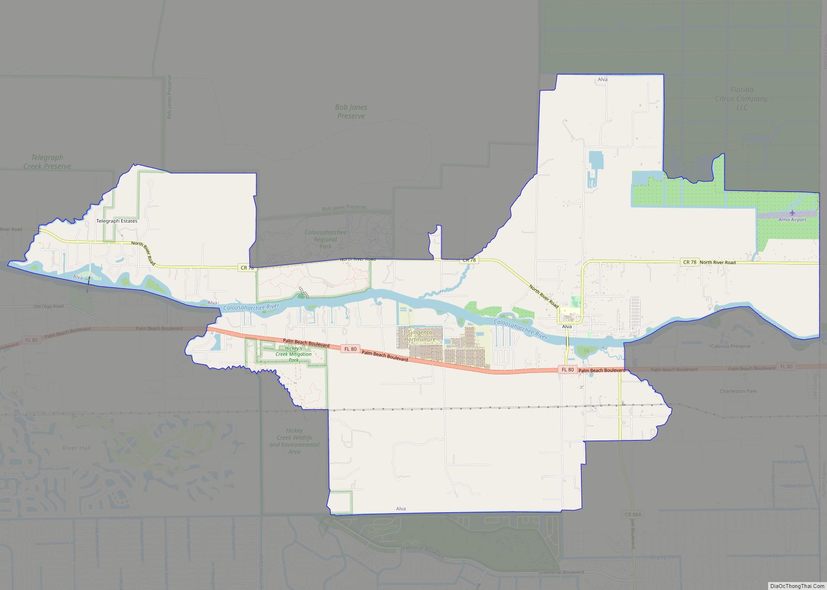
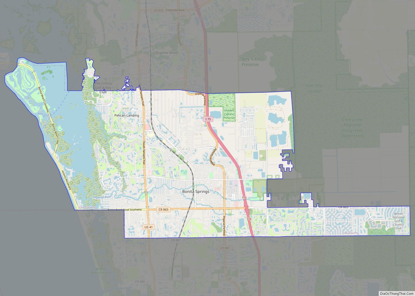
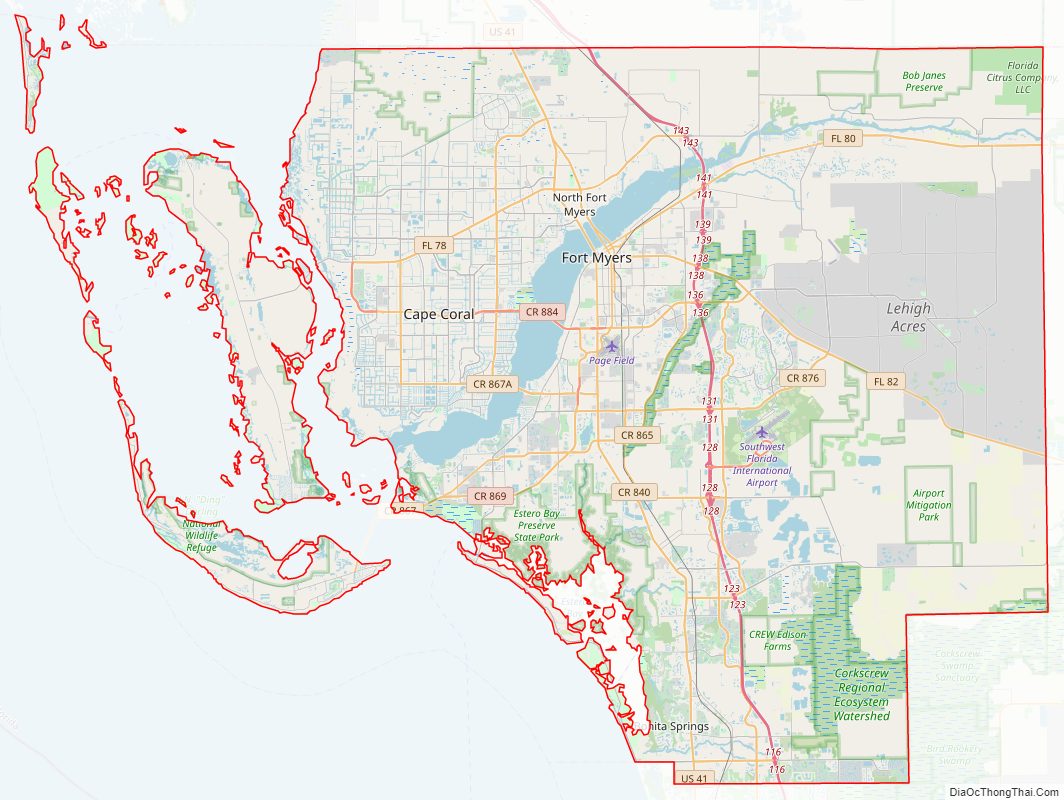
Lee County Road Map
Geography
According to the U.S. Census Bureau, the county has a total area of 1,212 square miles (3,140 km), of which 785 square miles (2,030 km) is land and 428 square miles (1,110 km) (35.3%) is water. Rivers and streams include the Caloosahatchee River, the Imperial River, the Estero River, Hendry Creek, and Orange River. Lee County is on the southwest coast of Florida. It is about 125 miles (201 km) south of Tampa, 115 miles (185 km) west of Fort Lauderdale via Interstate 75, and roughly 125 miles (201 km) west-northwest of Miami via U.S. Highway 41.
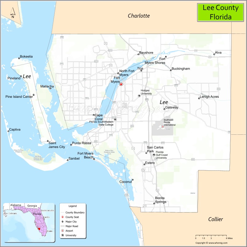
Adjacent counties
- Charlotte County (north)
- Glades County (northeast)
- Collier County (southeast)
- Hendry County (east)
National protected areas
- Caloosahatchee National Wildlife Refuge
- J.N. “Ding” Darling National Wildlife Refuge
- Matlacha Pass National Wildlife Refuge
- Pine Island National Wildlife Refuge
Islands
- Big Hickory Island
- Captiva Island
- Cayo Costa (Cayo Costa State Park)
- Cabbage Key
- Estero Island (Town of Fort Myers Beach)
- Gasparilla Island (community of Boca Grande)
- Little Hickory Island (Beaches of Bonita Springs)
- Lovers Key / Carl E. Johnson State Park
- Matlacha Island Matlacha, Florida
- Mound Key Archaeological State Park
- North Captiva Island
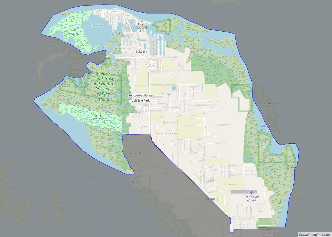
- Pine Island
- San Carlos Island (Town of Fort Myers Beach)
- Sanibel Island (Town of Sanibel)
- Useppa Island
Climate
Lee County has a year-round warm, monsoon-influenced climate that is close to the boundary between tropical and subtropical climates (18 °C (64 °F) in the coldest month), thus is either classified as a humid subtropical climate (Köppen Cfa), which is the classification used by NOAA, or a tropical savanna climate (Köppen Aw). Lee County has short, warm winters, and long, hot, humid summers, with most of the year’s rainfall occurring from June to September. The temperature rarely rises to 100 °F (38 °C) or lowers to the freezing mark. At 89, Lee County leads the nation in the number of days annually in which a thunderstorm is close enough for thunder to be heard. The monthly daily average temperature ranges from 64.2 °F (17.9 °C) in January to 83.4 °F (28.6 °C) in August, with the annual mean being 75.1 °F (23.9 °C). Records range from 24 °F (−4 °C) on December 29, 1894 up to 103 °F (39 °C) on June 16–17, 1981.
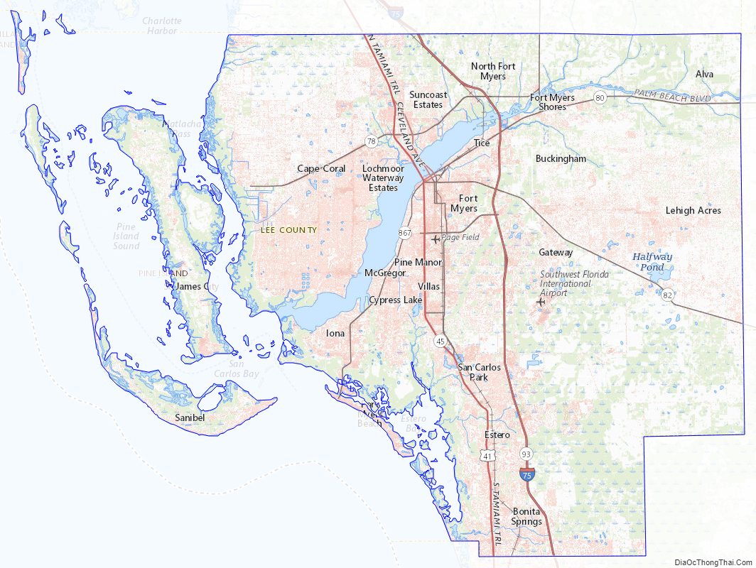
Lee County Topographic Map
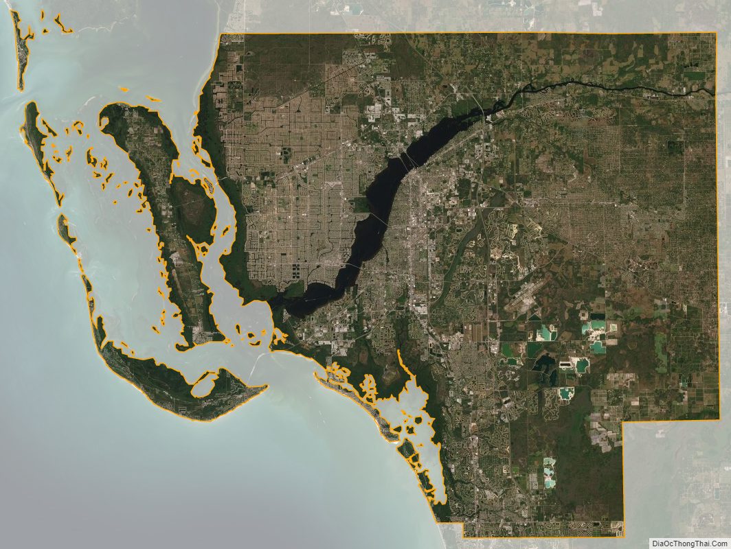
Lee County Satellite Map
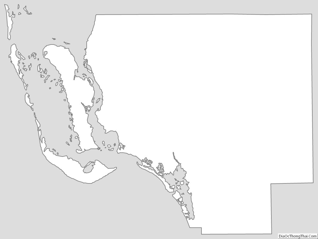
Lee County Outline Map