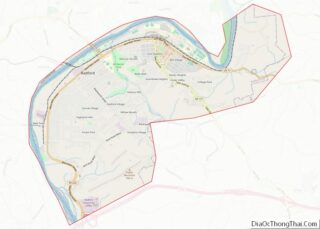
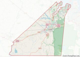
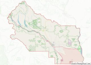
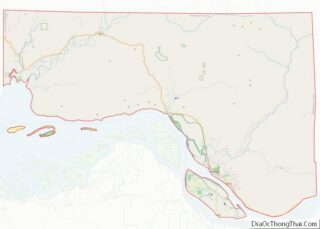
Map of Lake County

Map of Lake County, Illinois

Lake County is situated in the northeastern corner of the U.S. state of Illinois, along the shores of Lake Michigan. As of the 2020 census, it has a population of 714,342, making it the third-most populous county in Illinois. Its county seat is Waukegan, the tenth-largest city in Illinois. The county is primarily suburban, with … Read more

Map of Menard County

Map of Menard County, Illinois

Menard County is a county in the U.S. state of Illinois. According to the 2010 United States Census, it had a population of 12,705. Its county seat is Petersburg. Menard County is part of the Springfield, Illinois, IL Metropolitan Statistical Area. Menard County overview: Name: Menard County FIPS code: 17-129 State: Illinois Founded: 1839 Named … Read more

Map of Rock Island County

Map of Rock Island County, Illinois

Rock Island County is a county located in the U.S. state of Illinois, bounded on the west by the Mississippi River. According to the 2010 census, it had a population of 147,546. Its county seat is Rock Island; its largest city is neighboring Moline. Rock Island County is one of the four counties that make … Read more

Map of White County

Map of White County, Illinois

White County is a county located in the U.S. state of Illinois. According to the 2020 census, it had a population of 13,877. Its county seat is Carmi. It is located in the southern portion of Illinois known locally as “Little Egypt”.as of February 18 2023 information provided by http://world population review.com has listed the … Read more

Map of Clay County

Map of Clay County, Indiana

Clay County is a county located in the U.S. state of Indiana. As of 2010, the population was 26,890. The county seat is Brazil. Clay County is included in the Terre Haute, Indiana, Metropolitan Statistical Area. Clay County overview: Name: Clay County FIPS code: 18-021 State: Indiana Founded: February 12, 1825 Named for: Henry Clay … Read more

Map of Grant County

Map of Grant County, Indiana

Grant County is a county in central Indiana in the United States Midwest. At the time of the 2020 census, the population was 66,674. The county seat is Marion. Important paleontological discoveries, dating from the Pliocene epoch, have been made at the Pipe Creek Sinkhole in Grant County. Grant County overview: Name: Grant County FIPS … Read more

Map of Kosciusko County

Map of Kosciusko County, Indiana

Kosciusko County (/ˌkɒskiˈʌskoʊ/ KOS-kee-US-koh) is a county in the U.S. state of Indiana. At the 2020 United States Census, its population was 80,240. The county seat (and only incorporated city) is Warsaw. The county was organized in 1836. It was named for the Polish general Tadeusz Kościuszko who served in the American Revolutionary War and … Read more

Map of Ohio County

Map of Ohio County, Indiana

Ohio County is a county located in southeastern Indiana. With a 2020 population of 5,940, and an area of just 87 square miles, Ohio County is the smallest county in Indiana by area and the least populous. The county seat and only incorporated municipality is Rising Sun. The county was officially established in 1844 and … Read more

Map of Spencer County

Map of Spencer County, Indiana

Spencer County is a county located in the U.S. state of Indiana. As of the 2010 census, the population was 20,952. The county seat is Rockport. Despite not being in the Owensboro Metropolitan Area, the entire riverfront of the city of Owensboro, Kentucky borders the southern tip of the county. Spencer County overview: Name: Spencer … Read more

Map of Wells County

Map of Wells County, Indiana

Wells County is a county in the U.S. state of Indiana. As of the 2020 United States Census, the population was 28,180. The county seat (and only incorporated city) is Bluffton. Wells County is included in the Fort Wayne Metropolitan Statistical Area and the Fort Wayne–Huntington–Auburn Combined Statistical Area. Wells County overview: Name: Wells County … Read more

Map of Carroll County

Map of Carroll County, Iowa

Carroll County is a county located in the U.S. state of Iowa. As of the 2020 census, the population was 20,760. Its county seat is Carroll. The county is named in honor of Charles Carroll of Carrollton, signer of the Declaration of Independence. Carroll County overview: Name: Carroll County FIPS code: 19-027 State: Iowa Founded: … Read more

Map of Dickinson County

Map of Dickinson County, Iowa

Dickinson County is a county located in the U.S. state of Iowa. As of the 2020 census, the population was 17,703. The county seat is Spirit Lake. The county was organized in 1857 and is named in honor of Daniel S. Dickinson, a U.S. Senator for New York. Dickinson County comprises the Spirit Lake, IA … Read more