Saline County (standard abbreviation: SA) is located in the U.S. state of Kansas. As of the 2020 census, the county population was 54,303. The largest city and county seat is Salina.
| Name: | Saline County |
|---|---|
| FIPS code: | 20-169 |
| State: | Kansas |
| Founded: | February 15, 1860 |
| Named for: | Saline River |
| Seat: | Salina |
| Largest city: | Salina |
| Total Area: | 721 sq mi (1,870 km²) |
| Land Area: | 720 sq mi (1,900 km²) |
| Total Population: | 54,303 |
| Population Density: | 75.4/sq mi (29.1/km²) |
| Time zone: | UTC−6 (Central) |
| Summer Time Zone (DST): | UTC−5 (CDT) |
| Website: | saline.org |
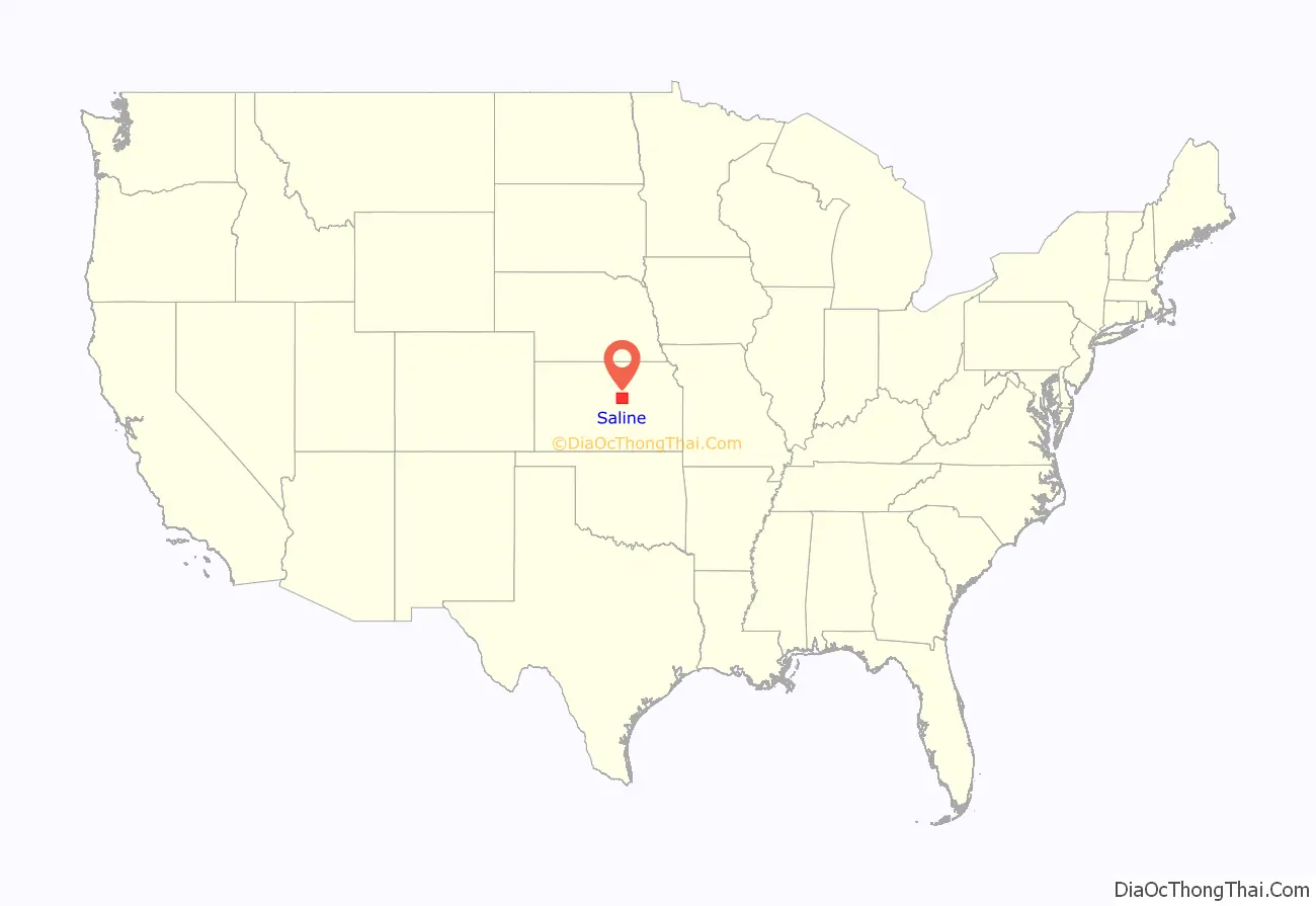
Saline County location map. Where is Saline County?
History
Early history
For many millennia, the Great Plains of North America was inhabited by nomadic Native Americans. From the 16th century to 18th century, the Kingdom of France claimed ownership of large parts of North America. In 1762, after the French and Indian War, France secretly ceded New France to Spain, per the Treaty of Fontainebleau. In 1802, Spain returned most of the land to France, but keeping title to about 7,500 square miles.
In 1803, most of the land for modern day Kansas was acquired by the United States from France as part of the 828,000 square mile Louisiana Purchase for 2.83 cents per [cre. In 1848, after the Mexican–American War, the Treaty of Guadalupe Hidalgo with Spain brought into the United States all or part of land for ten future states, including southwest Kansas. In 1854, the Kansas Territory was organized, then in 1861 Kansas became the 34th U.S. state.
19th century
In 1860, Saline County was founded.
20th century
Saline County was a prohibition, or “dry”, county until the Kansas Constitution was amended in 1986 and voters approved the sale of alcoholic liquor by the individual drink with a 30% food sales requirement. The food sales requirement was removed with voter approval in 1994.
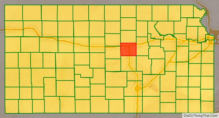
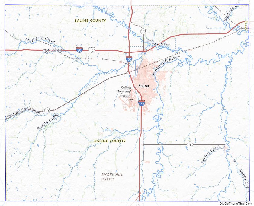
Saline County Road Map


Geography
According to the United States Census Bureau, the county has a total area of 721 square miles (1,870 km), of which 720 square miles (1,900 km) is land and 1.1 square miles (2.8 km) (0.2%) is water.
Adjacent counties
- Ottawa County (north)
- Dickinson County (east)
- Marion County (southeast)
- McPherson County (south)
- Ellsworth County (west)
- Lincoln County (northwest)
Saline County Topographic Map
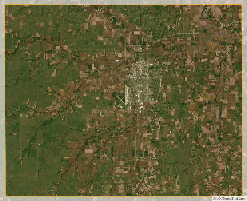
Saline County Satellite Map
Saline County Outline Map