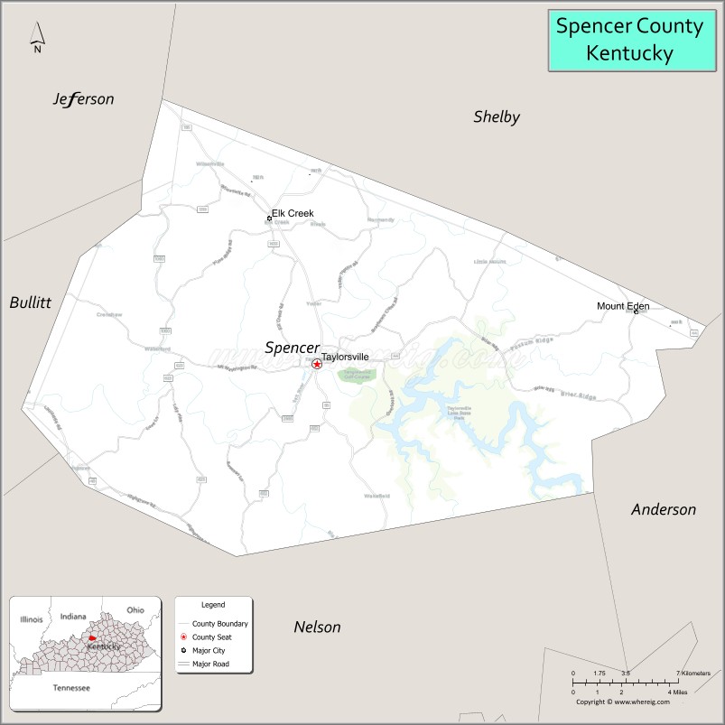
Spencer County is a county located in the U.S. state of Kentucky. As of the 2020 census, the total population was 19,490. Its county seat is Taylorsville. The county was founded in 1824 and named for Spier Spencer.
Spencer County is part of the Louisville/Jefferson County, KY—IN Metropolitan Statistical Area.
Taylorsville Lake, located primarily within Spencer County, serves as a major economic resource for the area. Spencer was a dry county until 2009 when the county’s residents voted to overturn the ban on alcohol sales. From 2000 to 2005, Spencer County ranked 19th out of all U.S. counties in percent growth, with a 33% increase.
| Name: | Spencer County |
|---|---|
| FIPS code: | 21-215 |
| State: | Kentucky |
| Founded: | 1824 |
| Named for: | Spier Spencer |
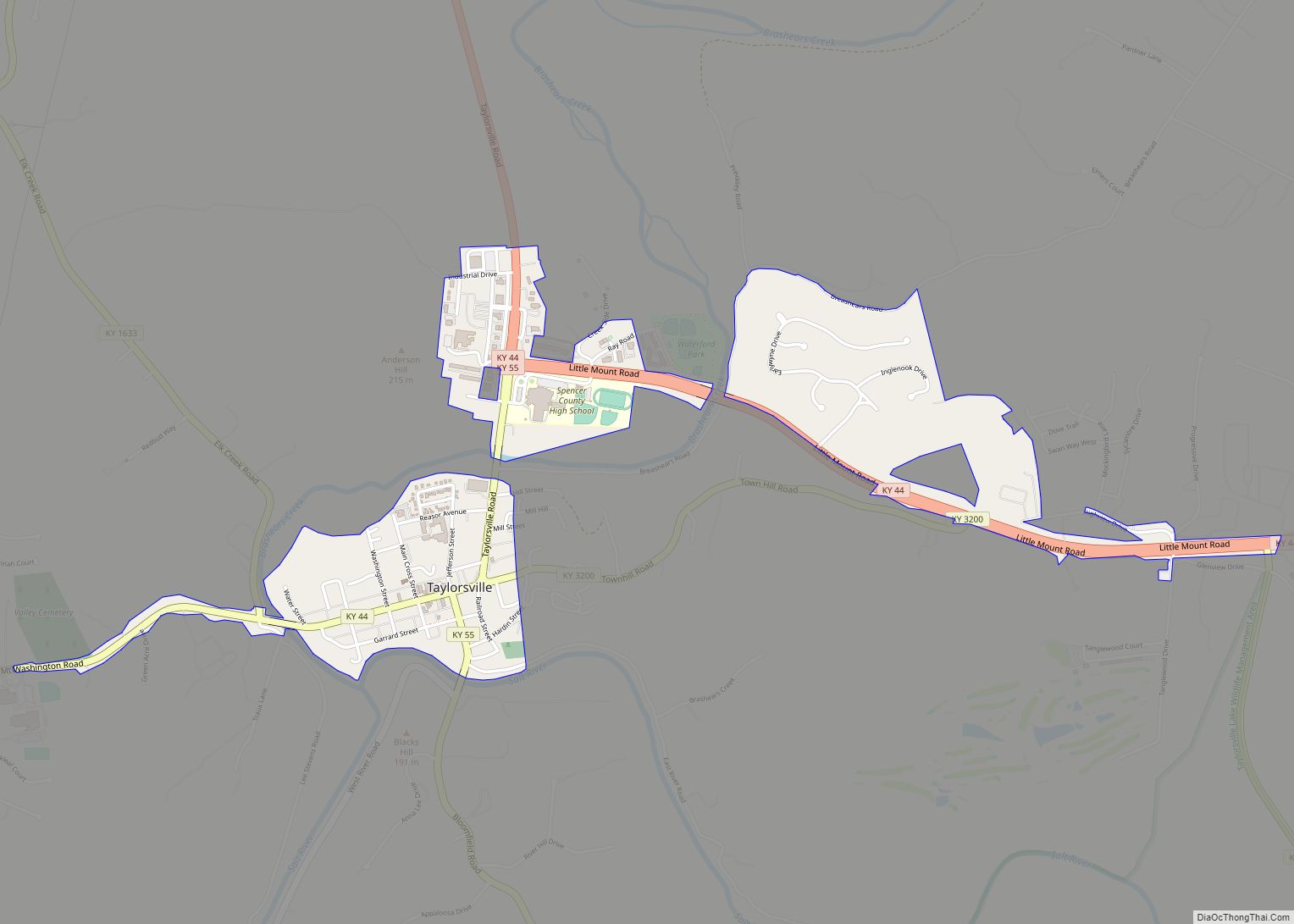
| Seat: | Taylorsville |
| Largest city: | Taylorsville |
| Total Area: | 192 sq mi (500 km²) |
| Land Area: | 187 sq mi (480 km²) |
| Total Population: | 19,490 |
| Population Density: | 100/sq mi (39/km²) |
| Time zone: | UTC−5 (Eastern) |
| Summer Time Zone (DST): | UTC−4 (EDT) |
| Website: | www.spencercountyky.gov |
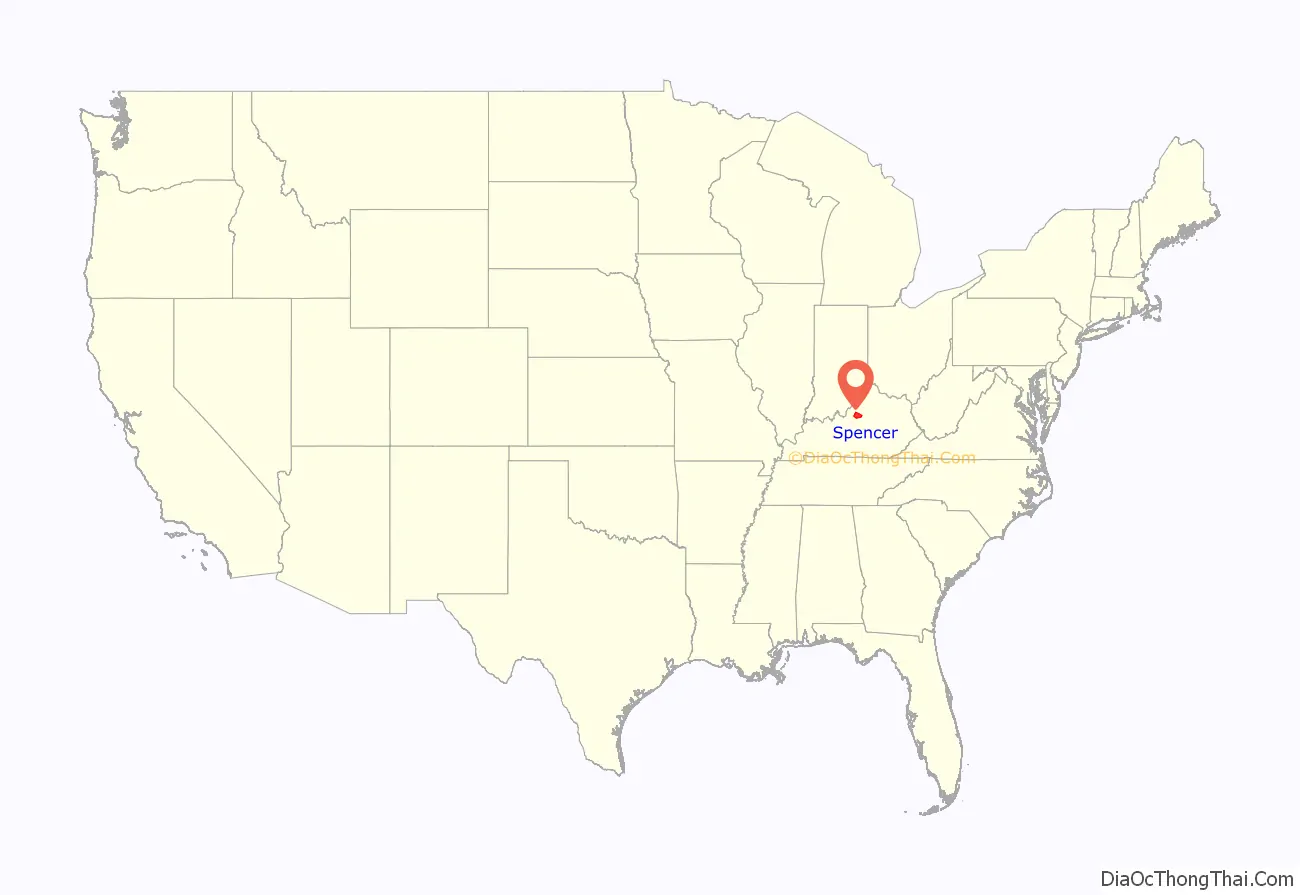
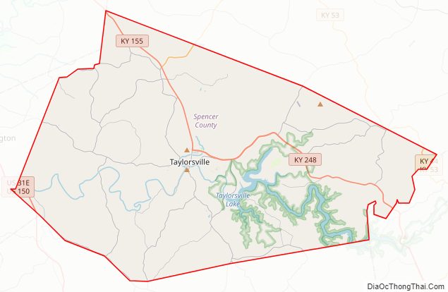
Spencer County location map. Where is Spencer County?
History
Spencer County was formed in January 1824, by the 32nd Kentucky General Assembly. The land that now makes up Spencer County was taken from Bullitt County, Shelby County, and Nelson County. Spencer County became Kentucky’s 77th county. The county was named for Kentucky’s Captain Spier Spencer, who fought and died in the Battle of Tippecanoe.
Later that year, in December 1824, Taylorsville was made the county seat. In 1829, the city was incorporated.
During the American Civil War, the courthouse at Taylorsville was burned by Confederate guerrillas in January 1865, but the county’s records were saved.
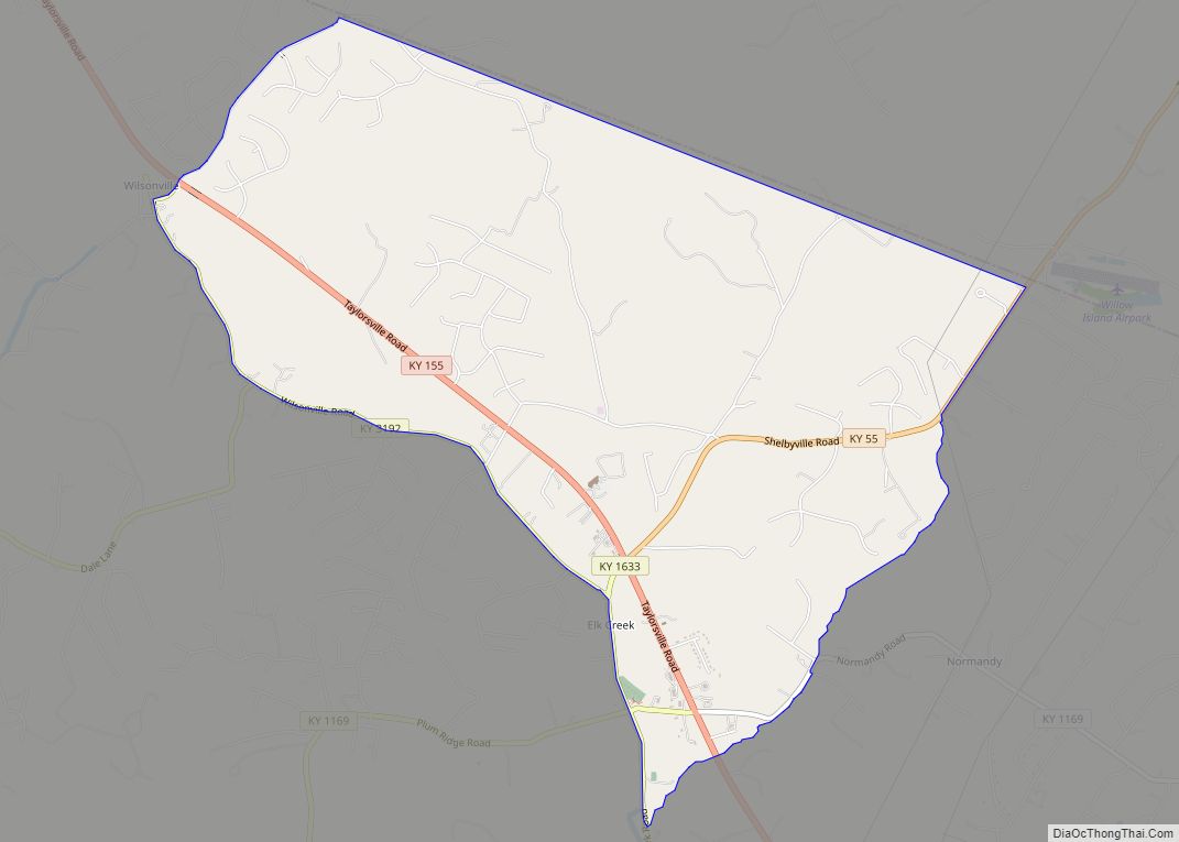
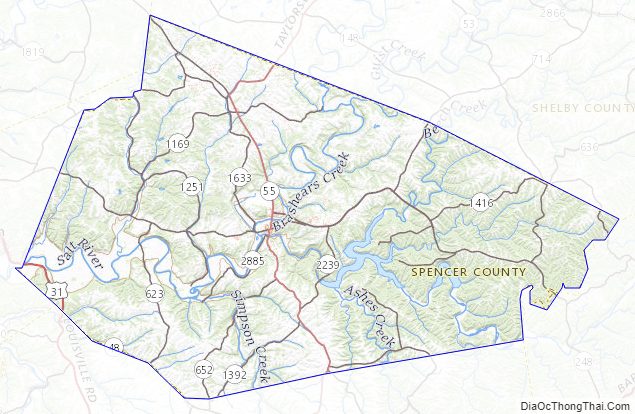
Spencer County Road Map
Geography
According to the United States Census Bureau, the county has a total area of 192 square miles (500 km), of which 187 square miles (480 km) is land and 5.0 square miles (13 km) (2.6%) is water.
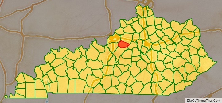
Adjacent counties
- Shelby County (north)
- Anderson County (east)
- Nelson County (south)
- Bullitt County (west)
- Jefferson County (northwest)
Major highways
- Kentucky Route 44
- Kentucky Route 55
Spencer County Topographic Map
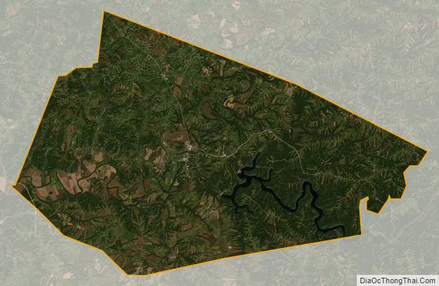
Spencer County Satellite Map
Spencer County Outline Map