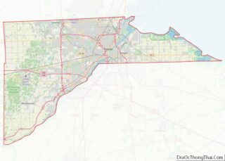
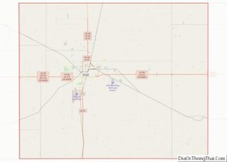
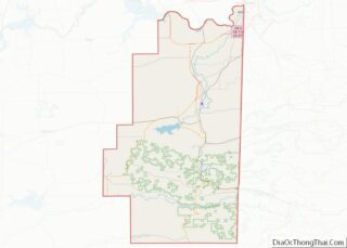
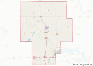
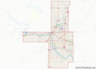
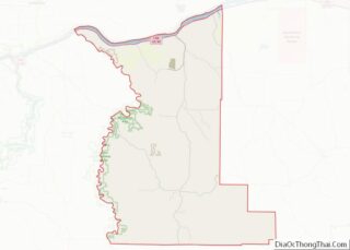
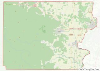
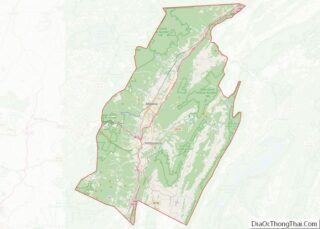
Map of Dunklin County, Missouri
Dunklin County is located in the Bootheel of the U.S. state of Missouri. As of the 2020 census, the population was 28,283. The largest city and county seat is Kennett. The county was officially organized on February 14, 1845, and is named in honor of Daniel Dunklin, a Governor of Missouri who died the year ... Read more
Map of Dunklin County, Missouri
Map of Johnson County, Missouri
Johnson County is a county located in western portion of the U.S. state of Missouri. As of the 2010 census, the population was 52,595 with a 2018 estimate of 53,652. Its county seat is Warrensburg. The county was formed December 13, 1834 from Lafayette County and named for Vice President Richard Mentor Johnson. Johnson County ... Read more
Map of Johnson County, Missouri
Map of Mississippi County, Missouri
Mississippi County is a county located in the Bootheel of the U.S. state of Missouri, with its eastern border formed by the Mississippi River. As of the 2020 census, the population was 12,577. The largest city and county seat is Charleston. The county was officially organized on February 14, 1845, and was named after the ... Read more
Map of Mississippi County, Missouri
Map of Platte County, Missouri
Platte County is a county located in the northwestern portion of the U.S. state of Missouri and is part of the Kansas City metropolitan area. As of the 2020 census, the population was 106,718. Its county seat is Platte City. The county was organized December 31, 1838, from the Platte Purchase, named for the Platte ... Read more
Map of Platte County, Missouri
Map of Scotland County, Missouri
Scotland County is a county in northeastern Missouri. As of the 2020 census, its population was 4,716, making it Missouri’s seventh-least populous county. Its county seat is Memphis. The county was organized on January 29, 1841, and named for the country of Scotland. Scotland County overview: Name: Scotland County FIPS code: 29-199 State: Missouri Founded: ... Read more
Map of Scotland County, Missouri
Map of Beaverhead County, Montana
Beaverhead County is the largest county by area in the U.S. state of Montana. As of the 2020 census, the population was 9,371. Its county seat is Dillon. The county was founded in 1865. Much of the perimeter of the county is the Continental Divide, including its entire border with the state of Idaho. The ... Read more
Map of Beaverhead County, Montana
Map of Garfield County, Montana
Garfield County is a county located in the U.S. state of Montana. As of the 2020 census, the population was 1,173. Its county seat is Jordan. Garfield County is noteworthy as the site of the discovery and excavation of four of the world’s dozen or so major specimens (as of 1994) of Tyrannosaurus rex. A ... Read more
Map of Garfield County, Montana
Map of Musselshell County, Montana
Musselshell County is a county in south-central Montana. As of the 2020 census, the population was 4,730. Its county seat is Roundup. Musselshell County overview: Name: Musselshell County FIPS code: 30-065 State: Montana Founded: February 2, 1911 Seat: Roundup Largest city: Roundup Total Area: 1,871 sq mi (4,850 km²) Land Area: 1,868 sq mi (4,840 km²) Total Population: 4,730 Population Density: ... Read more
Map of Musselshell County, Montana
Map of Sweet Grass County, Montana
Sweet Grass County is a county located in the U.S. state of Montana. As of the 2020 census, the population was 3,678. Its county seat is Big Timber. The county was founded in 1895. Sweet Grass County overview: Name: Sweet Grass County FIPS code: 30-097 State: Montana Founded: 1895 Named for: Sweet grass Seat: Big ... Read more
Map of Sweet Grass County, Montana
Map of Brown County, Nebraska
Brown County is a county in the U.S. state of Nebraska. As of the 2010 United States Census, the population was 3,145. Its county seat is Ainsworth. The county was established in 1883 and named for two members of the legislature who reported the bill for the county’s organization. In the Nebraska license plate system, ... Read more
Map of Brown County, Nebraska
Map of Deuel County, Nebraska
Deuel County is a county located in the U.S. state of Nebraska. As of the 2010 United States Census, the population was 1,941. Its county seat is Chappell. The county was formed in 1889 and named for Harry Porter Deuel, superintendent of the Union Pacific Railroad. In the Nebraska license plate system, Deuel County is ... Read more
Map of Deuel County, Nebraska
Map of Hamilton County, Nebraska
Hamilton County is a county in the U.S. state Nebraska. As of the 2020 United States Census, the population was 9,429. Its county seat is Aurora. The county was named for Alexander Hamilton, the first Secretary of the Treasury in the new United States government. Hamilton County is included in the Grand Island, NE Metropolitan ... Read more
Map of Hamilton County, Nebraska