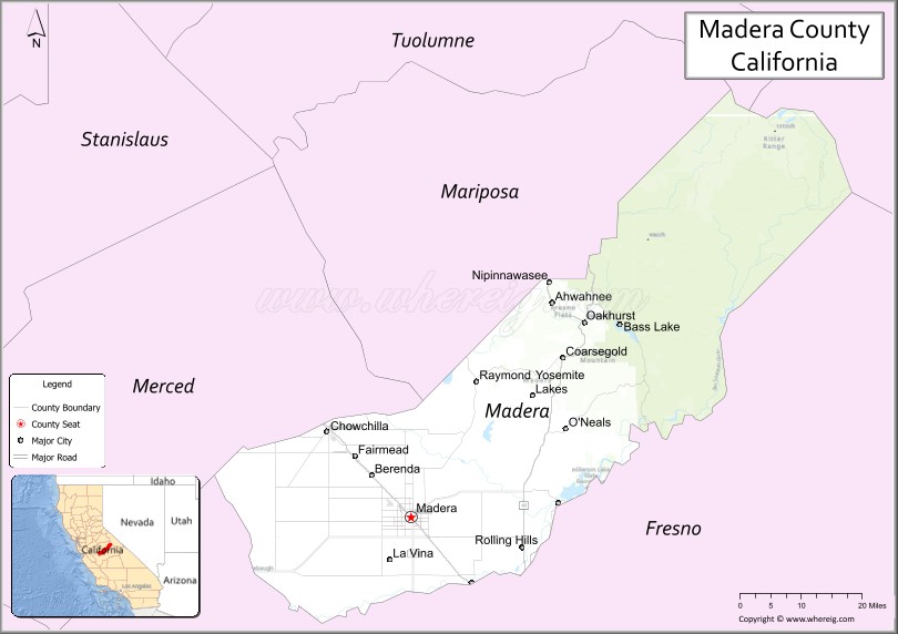
Madera County (/məˈdɛərə/ (listen)), officially the County of Madera, is a county at the geographic center of the U.S. state of California. As of the 2020 census, the population was 156,255. The county seat is Madera.
Madera County comprises the Madera, CA Metropolitan Statistical Area, which is included in the Fresno-Madera, CA Combined Statistical Area. It is located in the eastern San Joaquin Valley and the central Sierra Nevada.
The southeasternmost part of Yosemite National Park is located in the county’s northeast.
| Name: | Madera County |
|---|---|
| FIPS code: | 06-039 |
| State: | California |
| Founded: | 1893 |
| Named for: | Spanish word meaning “wood” |
| Seat: | Madera |
| Largest city: | Madera |
| Total Area: | 2,153 sq mi (5,580 km²) |
| Land Area: | 2,137 sq mi (5,530 km²) |
| Total Population: | 156,255 |
| Population Density: | 73/sq mi (28/km²) |
| Time zone: | UTC−8 (Pacific Time Zone) |
| Summer Time Zone (DST): | UTC−7 (Pacific Daylight Time) |
| Website: | www.maderacounty.com |
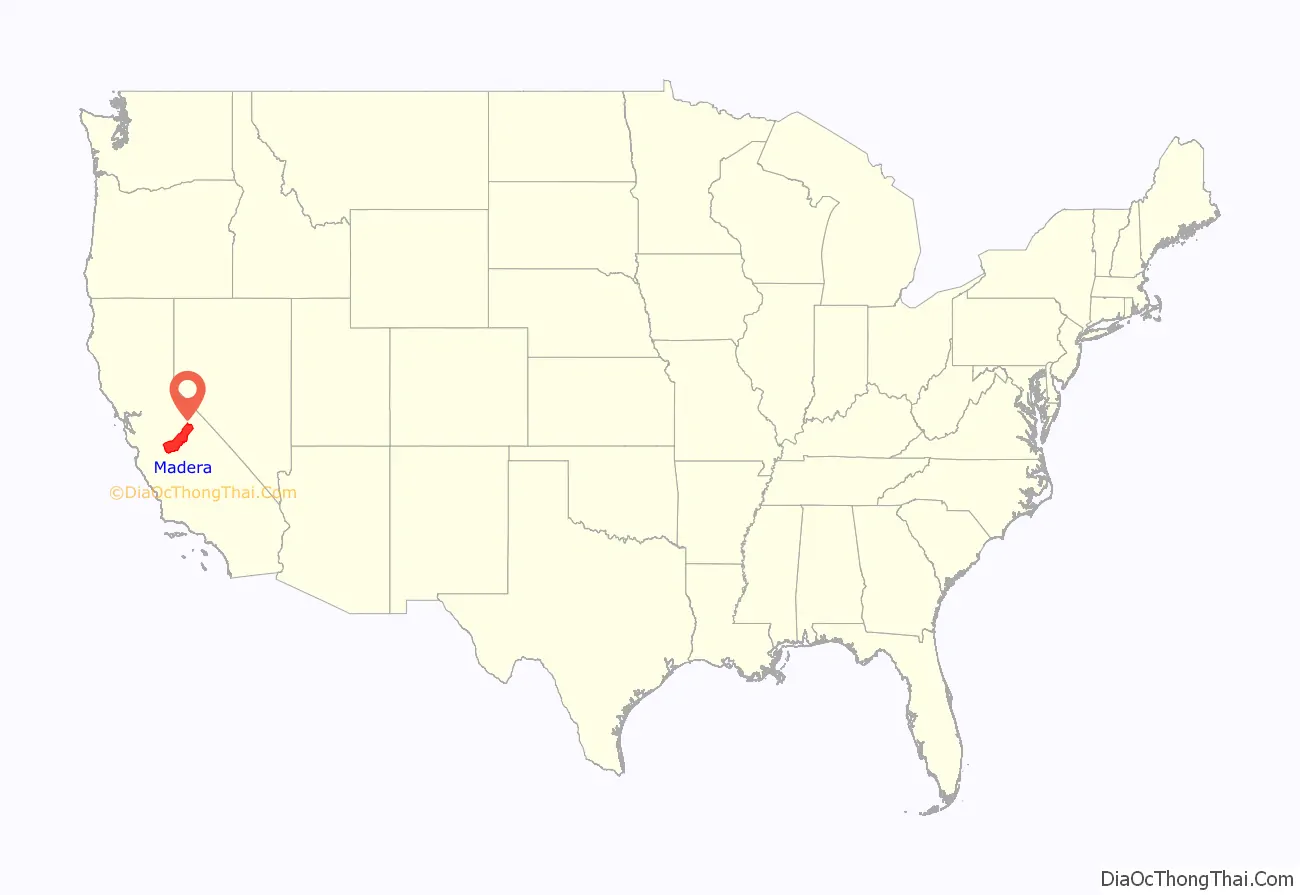
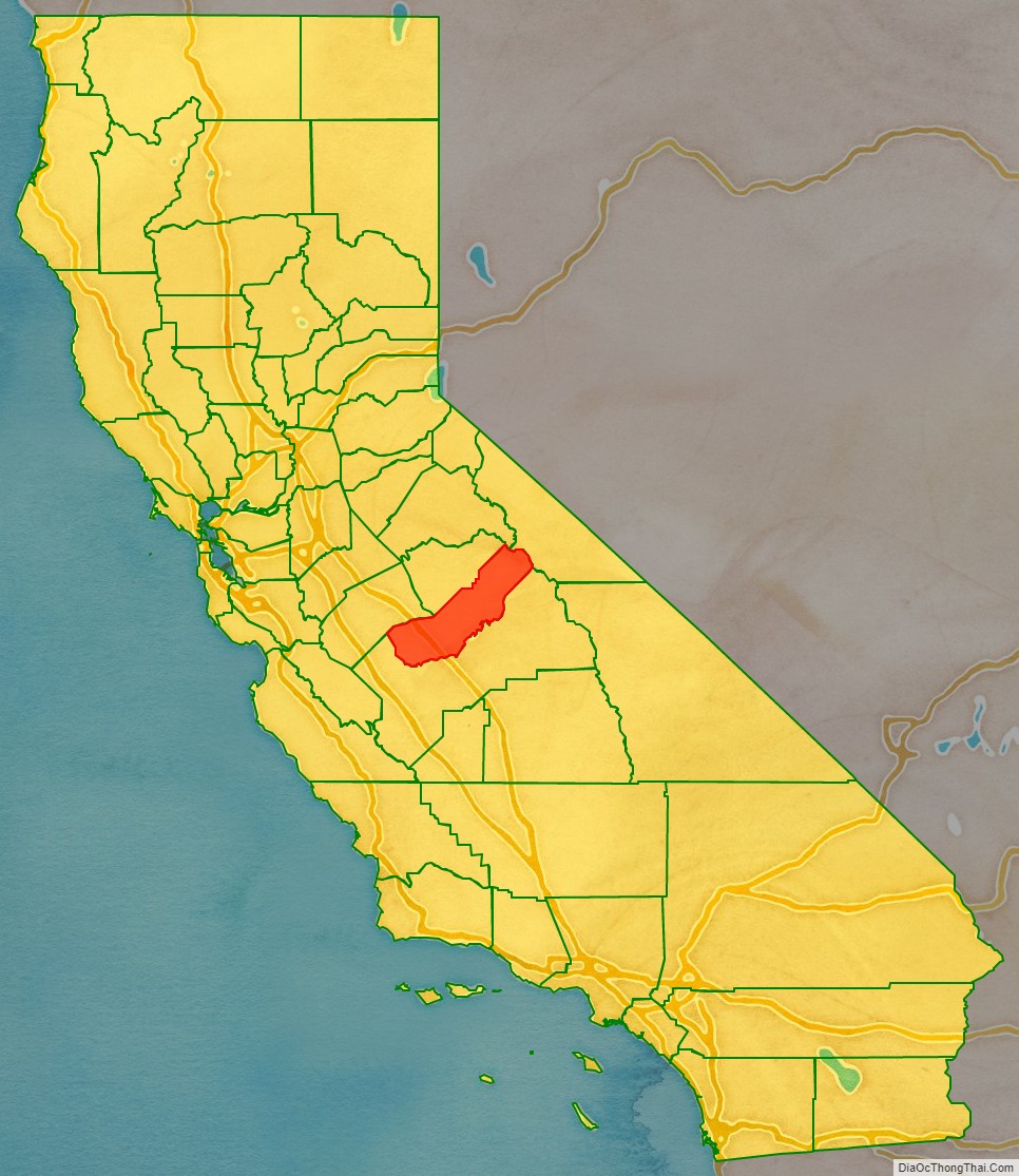
Madera County location map. Where is Madera County?
History
Madera County was formed in 1893 from Fresno County during a special election held in Fresno on May 16, 1893. Citizens residing in the area that was to become Madera County voted 1,179 to 358 for separation from Fresno County and the establishment of Madera County.
Madera is the Spanish term for wood. The county derives its name from the town of Madera, named when the California Lumber Company built a log flume to carry lumber to the Central Pacific Railroad there in 1876.
The Madera County Sheriff’s Department employed the first woman in California to die in the line of duty as a sworn law enforcement officer—Tulare native Lucille Helm (1914–1959). For 15 years, the Madera housewife and mother of four worked on call as a “matron” assisting with female transfers.
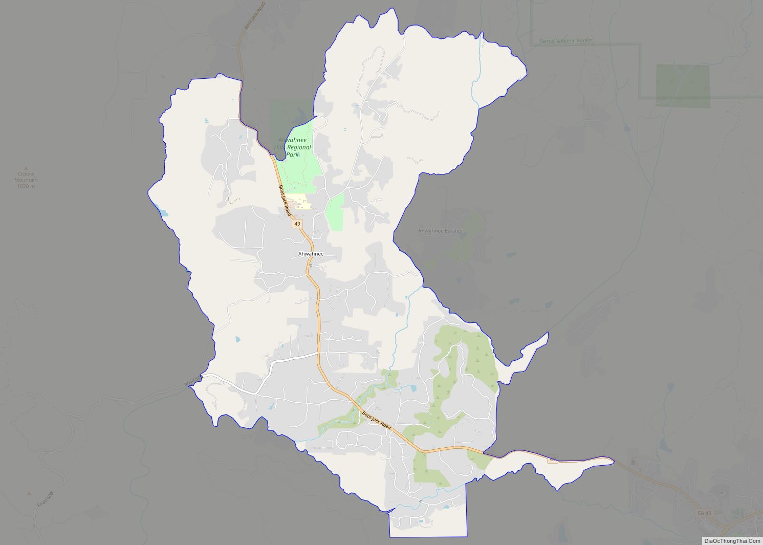
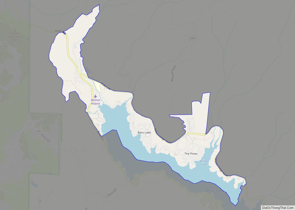
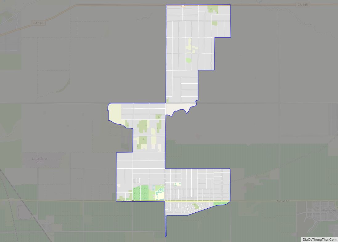
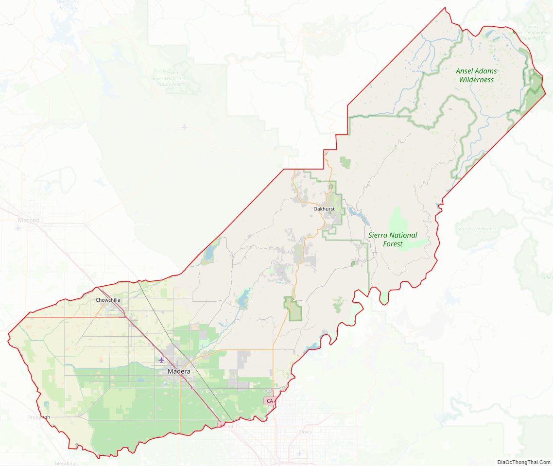
Madera County Road Map
Geography
According to the U.S. Census Bureau, the county has a total area of 2,153 square miles (5,580 km), of which 2,137 square miles (5,530 km) is land and 16 square miles (41 km), or 0.8%, is water.
Madera County is part of the Madera AVA wine region.
National protected areas
- Devils Postpile National Monument
- Inyo National Forest (part)
- Sierra National Forest (part)
- Yosemite National Park (part)
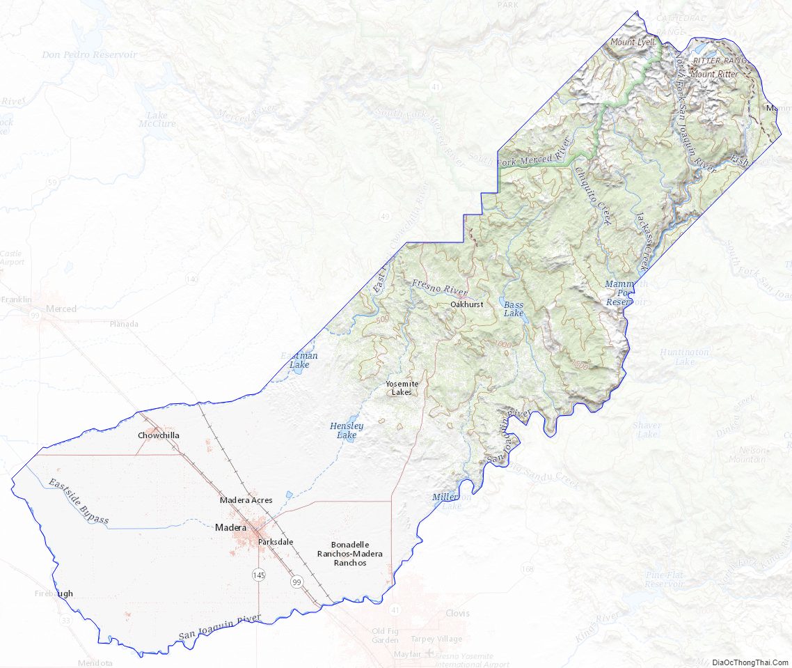
Madera County Topographic Map
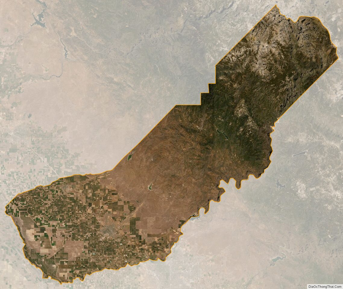
Madera County Satellite Map
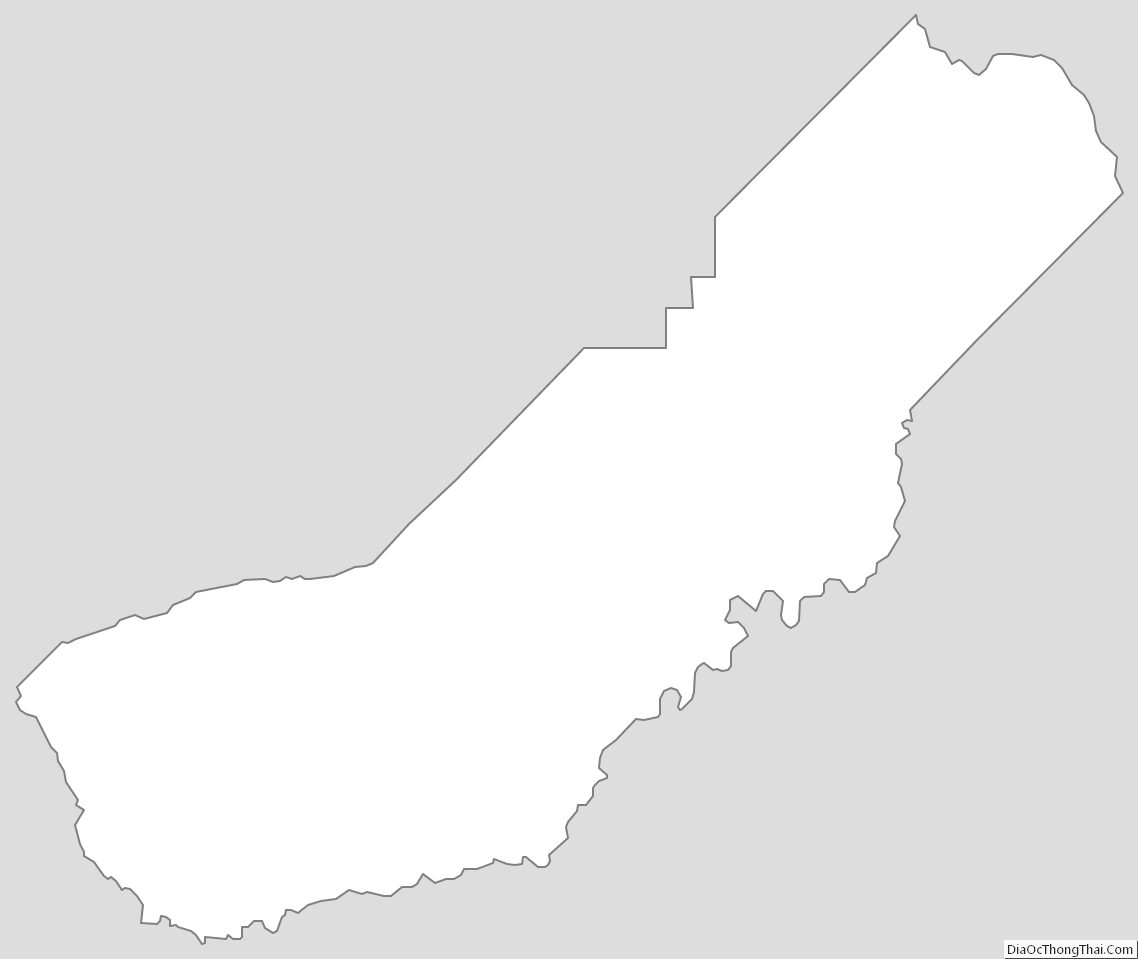
Madera County Outline Map