| Name: | Grand County |
|---|---|
| FIPS code: | 08-049 |
| State: | Colorado |
| Founded: | February 2, 1874 |
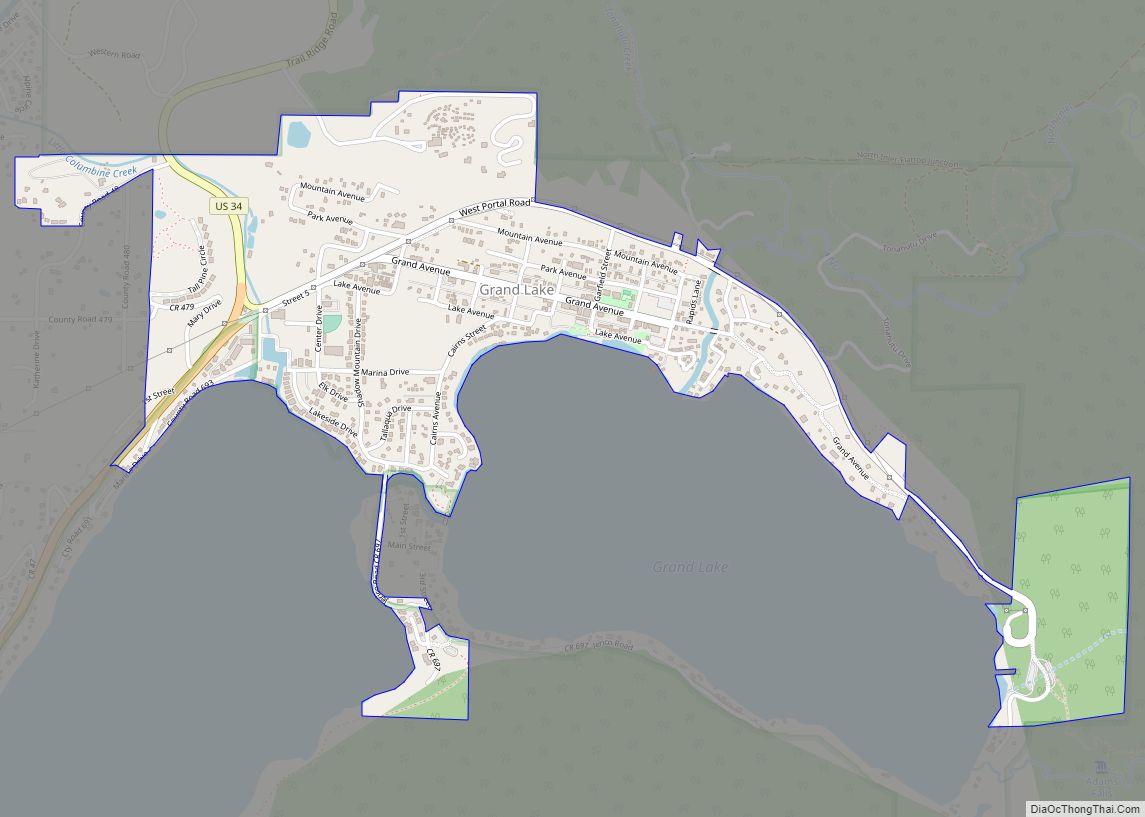
| Named for: | Grand Lake and Grand River |
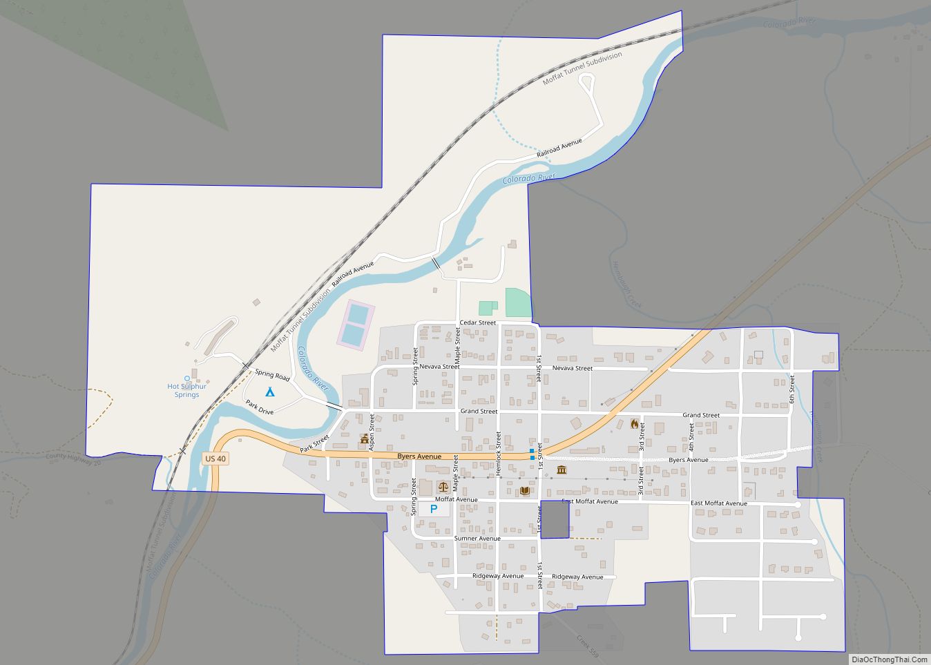
| Seat: | Hot Sulphur Springs |
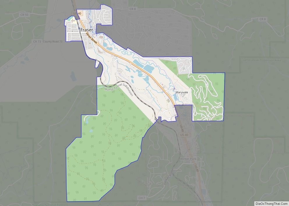
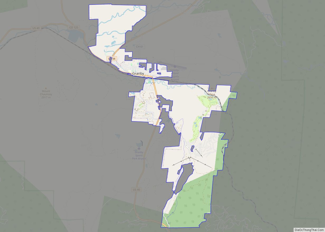
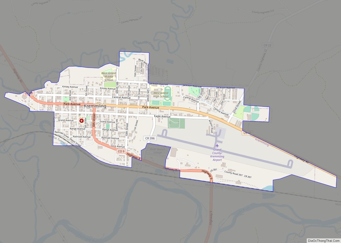
| Largest town: | Granby |
| Total Area: | 1,870 sq mi (4,800 km²) |
| Land Area: | 1,846 sq mi (4,780 km²) |
| Total Population: | 15,860 |
| Population Density: | 8.5/sq mi (3.3/km²) |
| Time zone: | UTC−7 (Mountain) |
| Summer Time Zone (DST): | UTC−6 (MDT) |
| Website: | co.grand.co.us |
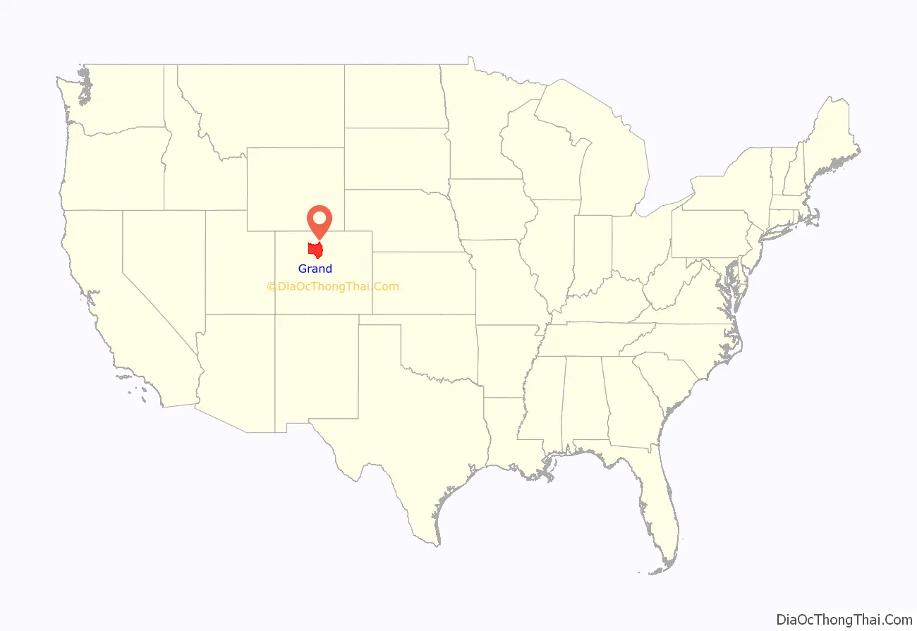
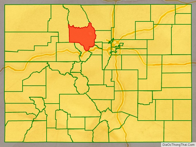
Grand County location map. Where is Grand County?
History
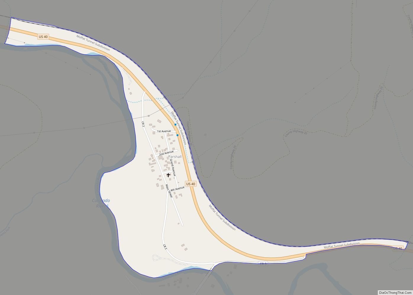
When Grand County was created February 2, 1874 it was carved out of Summit County and contained land to the western and northern borders of the state, which is in present-day Moffat County and Routt County. It was named after Grand Lake and the Grand River, an old name for the upper Colorado River, which has its headwaters in the county. On January 29, 1877, Routt County was created and Grand County shrunk down to its current western boundary. When valuable minerals were found in North Park, Grand County claimed the area as part of its county, a claim Larimer County also held. It took a decision by the Colorado Supreme Court in 1886 to declare North Park part of Larimer County, setting Grand County’s northern boundary.
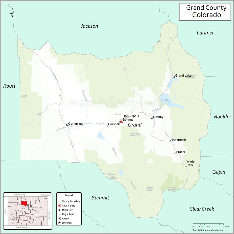
Grand County Road Map
Geography
According to the U.S. Census Bureau, the county has a total area of 1,870 square miles (4,800 km), of which 1,846 square miles (4,780 km) is land and 23 square miles (60 km) (1.2%) is water.
Adjacent counties
- Larimer County – northeast
- Gilpin County – east
- Boulder County – east
- Clear Creek County – southeast
- Summit County – south
- Eagle County – southwest
- Jackson County – north
- Routt County – west
Major Highways
- U.S. Highway 34
- U.S. Highway 40
- State Highway 9
- State Highway 125
- State Highway 134
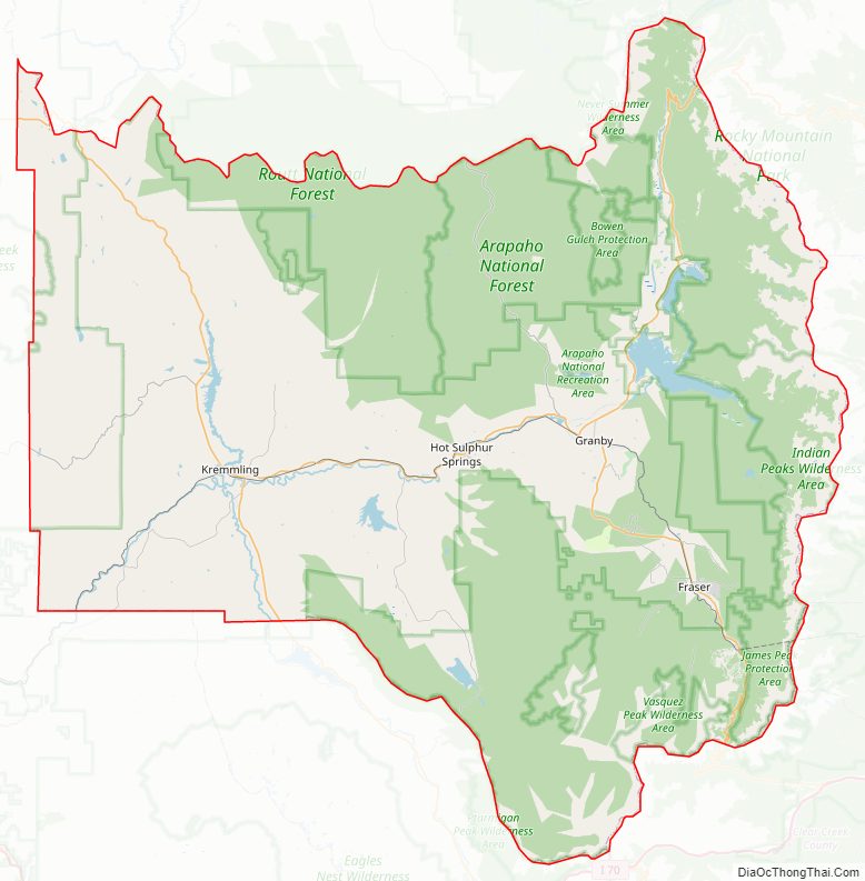
National protected areas
- Arapaho National Forest
- Arapaho National Recreation Area
- Byers Peak Wilderness
- Continental Divide National Scenic Trail
- Indian Peaks Wilderness
- Never Summer Wilderness
- Ptarmigan Peak Wilderness
- Rocky Mountain National Park
- Routt National Forest
- Sarvis Creek Wilderness
- Vasquez Peak Wilderness
Bicycle routes
- Great Parks Bicycle Route
- TransAmerica Trail Bicycle Route
Scenic byways
- Colorado River Headwaters National Scenic Byway
- Trail Ridge Road/Beaver Meadow National Scenic Byway
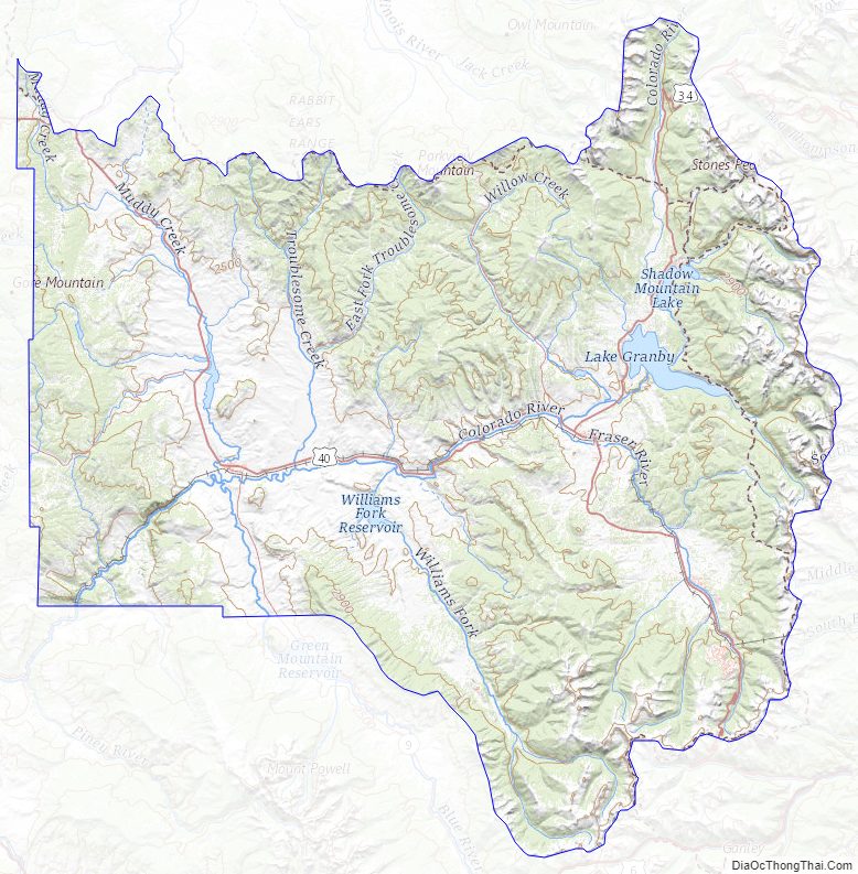
Grand County Topographic Map
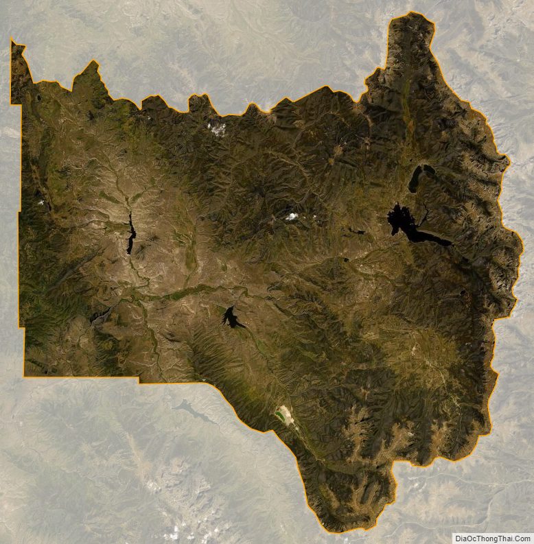
Grand County Satellite Map
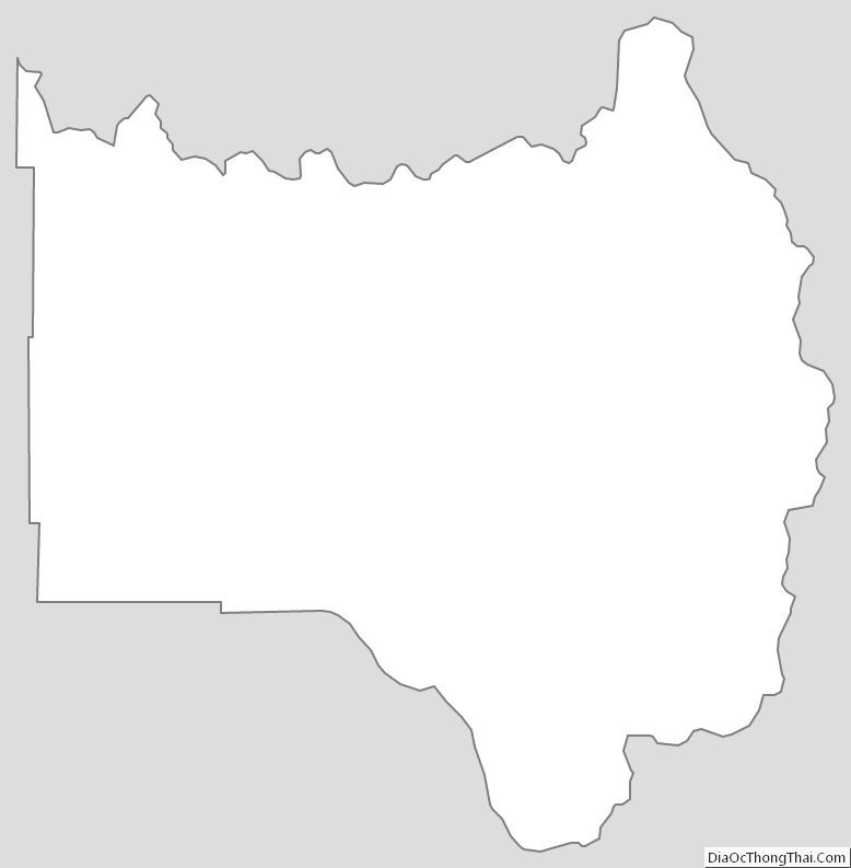
Grand County Outline Map