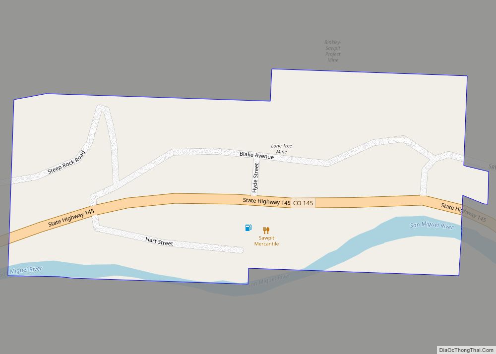
San Miguel County is a county located in the U.S. state of Colorado. As of the 2020 census, the population was 8,072. The county seat is Telluride. The county is named for the San Miguel River.
| Name: | San Miguel County |
|---|---|
| FIPS code: | 08-113 |
| State: | Colorado |
| Founded: | March 2, 1883 |
| Named for: | San Miguel River |
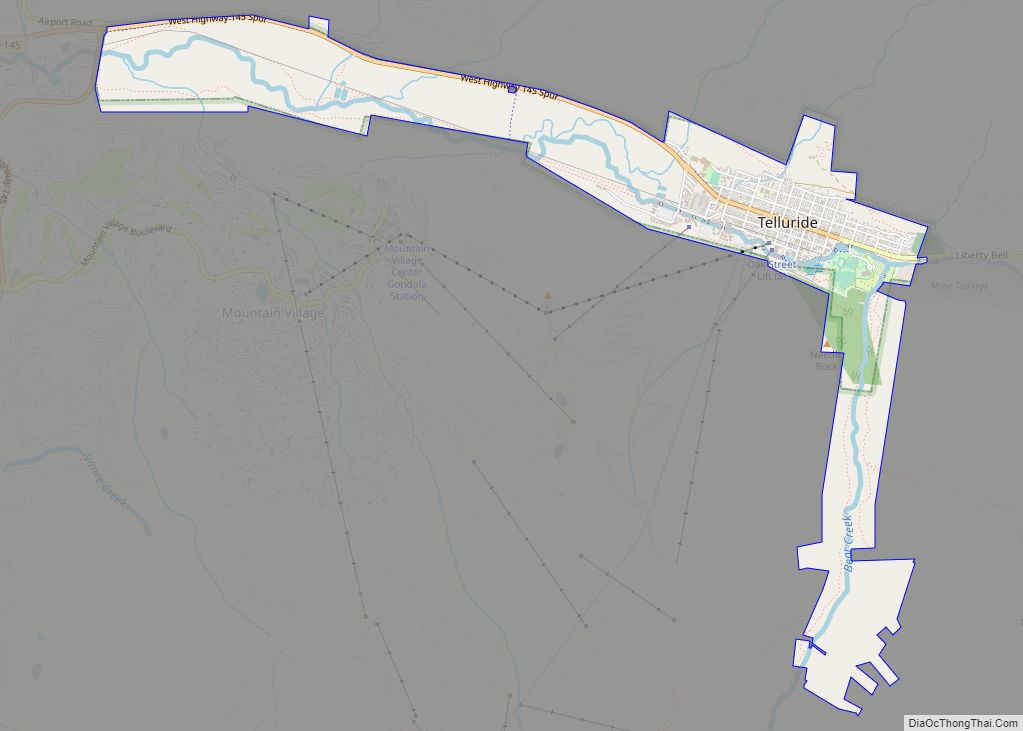
| Seat: | Telluride |
| Largest town: | Telluride |
| Total Area: | 1,289 sq mi (3,340 km²) |
| Land Area: | 1,287 sq mi (3,330 km²) |
| Total Population: | 8,074 |
| Population Density: | 6.3/sq mi (2.4/km²) |
| Time zone: | UTC−7 (Mountain) |
| Summer Time Zone (DST): | UTC−6 (MDT) |
| Website: | www.sanmiguelcountyco.gov |
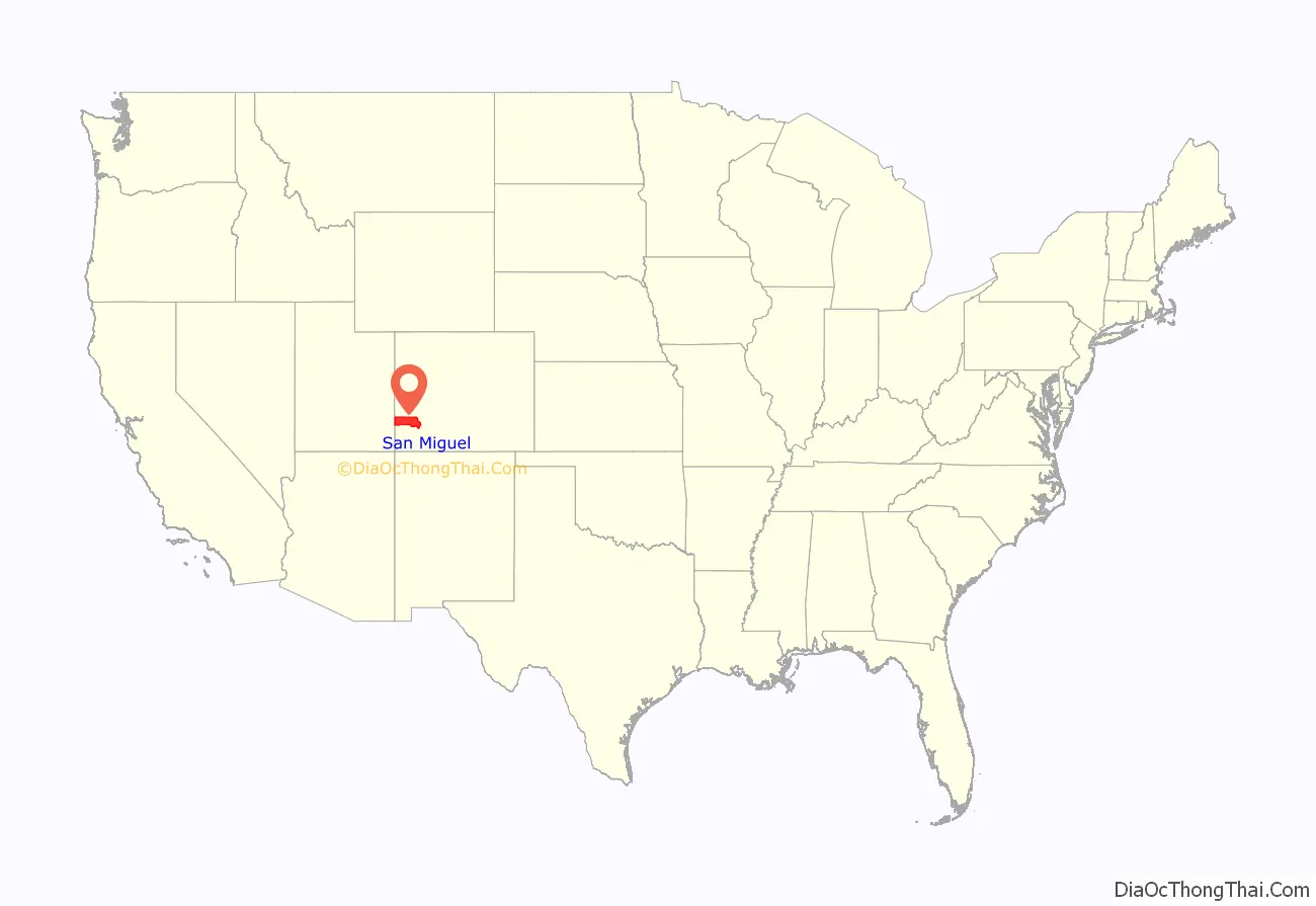
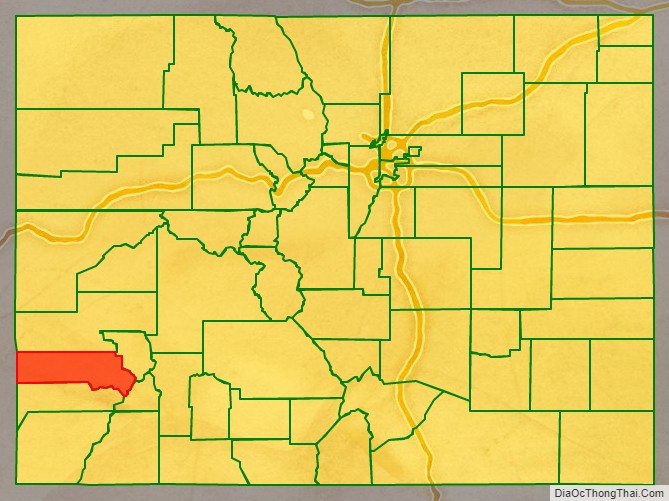
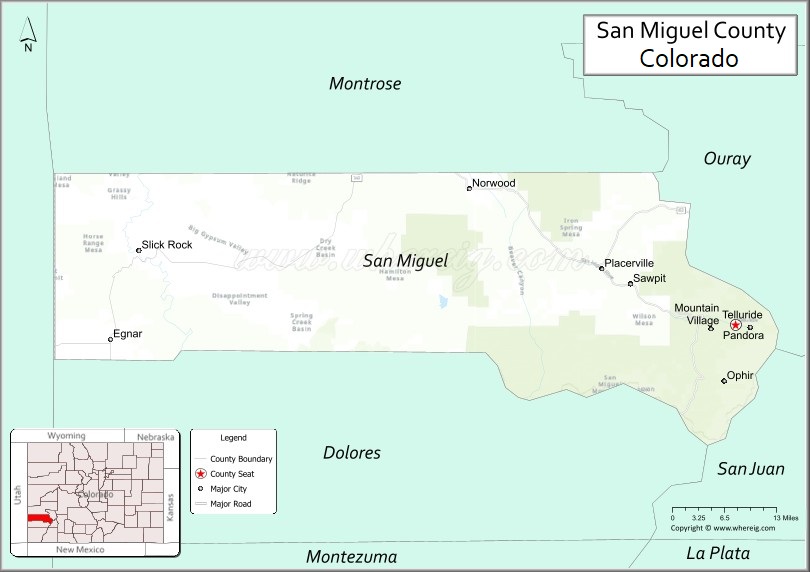
San Miguel County location map. Where is San Miguel County?
History
San Miguel County was given the Spanish language name for “Saint Michael” due to the nearby San Miguel River. On 27 February 1883, Ouray County was split to form San Miguel County. Originally the San Miguel County portion was to retain the name Ouray County with the new portion called Uncompahgre County.
Mining operators in the San Juan mountain area of Colorado formed the San Juan District Mining Association (SJDMA) in 1903, as a direct result of a Western Federation of Miners proposal to the Telluride Mining Association for the eight-hour day, which had been approved in a referendum by 72 percent of Colorado voters. The new association consolidated the power of thirty-six mining properties in San Miguel, Ouray, and San Juan counties. The SJDMA refused to consider any reduction in hours or increase in wages, helping to provoke a bitter strike.
In 1875, the Smuggler gold vein was discovered near Telluride. The Smuggler-Union, Tomboy, and Liberty Bell mines combined produced over a hundred tons of gold by 1920, third in the state of Colorado.
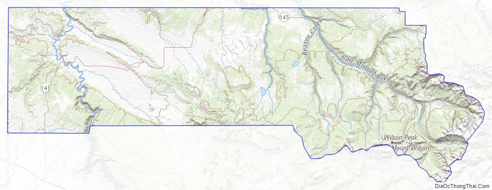
San Miguel County Road Map
Geography
According to the U.S. Census Bureau, the county has a total area of 1,289 square miles (3,340 km), of which 1,287 square miles (3,330 km) is land and 2.0 square miles (5.2 km) (0.2%) is water.
Adjacent counties
- Montrose County – north
- Ouray County – east
- San Juan County – southeast
- Dolores County – south
- San Juan County, Utah – west
Major highways
- State Highway 62
- State Highway 141
- State Highway 145
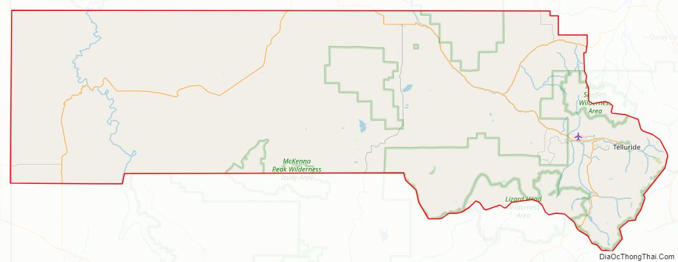
National protected areas
- Lizard Head Wilderness
- Mount Sneffels Wilderness
- Old Spanish National Historic Trail
- Telluride National Historic District
- Uncompahgre National Forest
Trails and byways
- Great Parks Bicycle Route
- San Juan Skyway National Scenic Byway
- Unaweep/Tabeguache Scenic and Historic Byway
- Western Express Bicycle Route
San Miguel County Topographic Map
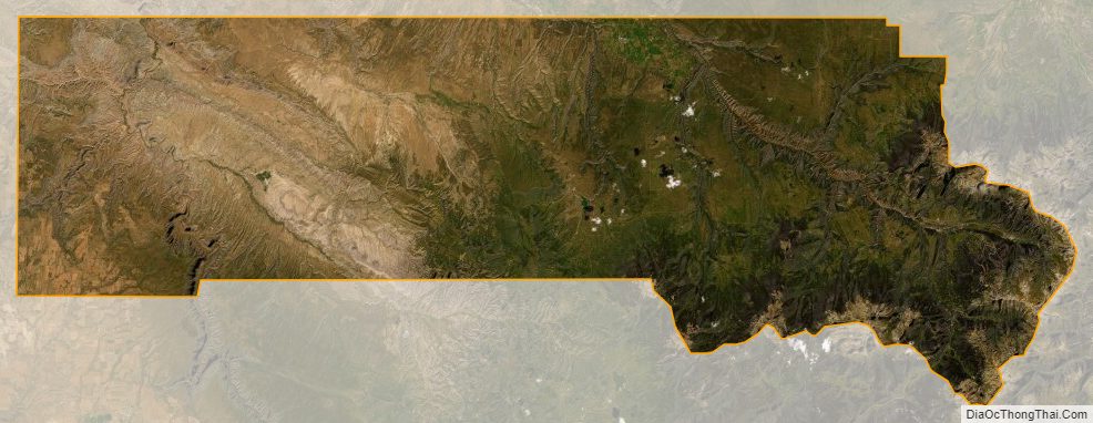
San Miguel County Satellite Map
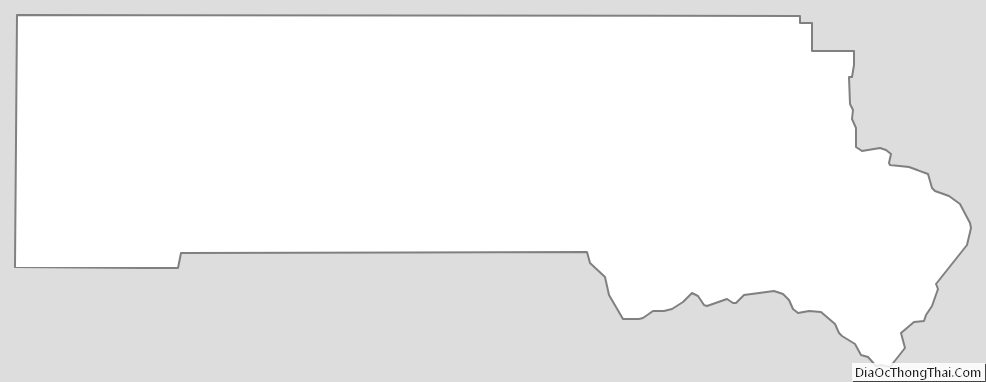
San Miguel County Outline Map