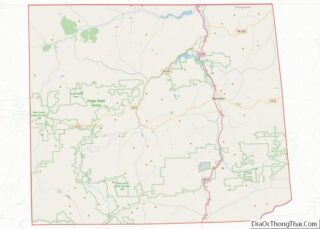
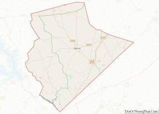
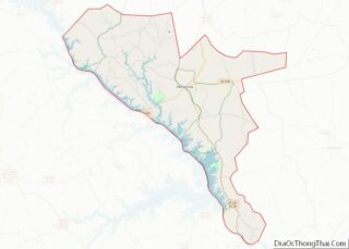
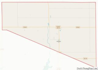
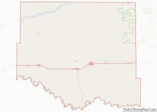
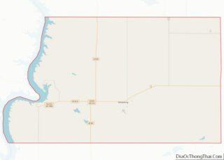
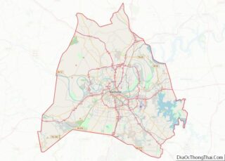
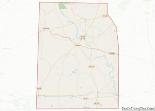
Map of Venango County, Pennsylvania
Venango County is a county in the Commonwealth of Pennsylvania. As of the 2020 census, the population was 50,454. Its county seat is Franklin. The county was created in 1800 and later organized in 1805. Venango County comprises the Oil City, PA micropolitan statistical area. It is part of the Pittsburgh media market. Venango County ... Read more
Map of Venango County, Pennsylvania
Map of Bamberg County, South Carolina
Bamberg County is a county located in the southwestern portion of U.S. state of South Carolina. As of the 2020 census, the population was 13,311, making the rural county the fourth-least populous of any in South Carolina. Its county seat is Bamberg. Voorhees College, a historically black college, was established here in the late nineteenth ... Read more
Map of Bamberg County, South Carolina
Map of Florence County, South Carolina
Florence County is a county located in the U.S. state of South Carolina. As of the 2020 census, its population was 137,059. Its county seat is Florence. Florence County is included in the Florence, SC Metropolitan Statistical Area. The county’s population is about 60% urban. Florence County overview: Name: Florence County FIPS code: 45-041 State: ... Read more
Map of Florence County, South Carolina
Map of Oconee County, South Carolina
Oconee County is the westernmost county in the U.S. state of South Carolina. As of the 2020 census, the population was 78,607. Its county seat is Walhalla and its largest city is Seneca. Oconee County is included in the Seneca, SC Micropolitan Statistical Area, which is also included in the Greenville–Spartanburg–Anderson, SC Combined Statistical Area. ... Read more
Map of Oconee County, South Carolina
Map of Brule County, South Dakota
Brule County is a county in the U.S. state of South Dakota. As of the 2020 census, the population was 5,247. Its county seat is Chamberlain. Brule County overview: Name: Brule County FIPS code: 46-015 State: South Dakota Founded: 1875 Named for: Brulé subtribe of Lakota people Seat: Chamberlain Largest city: Chamberlain Total Area: 846 sq mi ... Read more
Map of Brule County, South Dakota
Map of Fall River County, South Dakota
Fall River County is a county in the U.S. state of South Dakota. As of the 2020 United States Census, the population was 6,973. Its county seat is Hot Springs. The county was founded in 1883. It is named for Fall River which runs through it. Fall River County overview: Name: Fall River County FIPS ... Read more
Map of Fall River County, South Dakota
Map of Lake County, South Dakota
Lake County is a county in the U.S. state of South Dakota. As of the 2020 United States Census, the population was 11,059. Its county seat is Madison. The county was formed in 1873. Lake County overview: Name: Lake County FIPS code: 46-079 State: South Dakota Founded: 1873 Seat: Madison Largest city: Madison Total Area: ... Read more
Map of Lake County, South Dakota
Map of Sanborn County, South Dakota
Sanborn County is a county in the U.S. state of South Dakota. As of the 2020 census, the population was 2,330. Its county seat and largest city is Woonsocket. The county was created by the Dakota Territorial legislature on May 1, 1883, with land partitioned from Miner County. It was fully organized by July 18, ... Read more
Map of Sanborn County, South Dakota
Map of Blount County, Tennessee
Blount County is a county located in the East Tennessee Grand Division of the U.S. state of Tennessee. As of the 2020 census, its population was 135,280. The county seat is Maryville, which is also the county’s largest city. Blount County is included in the Knoxville, Tennessee metropolitan statistical area. Blount County overview: Name: Blount ... Read more
Map of Blount County, Tennessee
Map of DeKalb County, Tennessee
DeKalb County is a county located in the U.S. state of Tennessee. As of the 2020 census, the population was 20,080. Its county seat is Smithville. The county was created by the General Assembly of Tennessee on December 2, 1837, and was named for Revolutionary War hero Major General Johann de Kalb. DeKalb County overview: ... Read more
Map of DeKalb County, Tennessee
Map of Hawkins County, Tennessee
Hawkins County is a county located in the U.S. state of Tennessee. As of the 2020 census, the population was 56,721. Its county seat is Rogersville, Hawkins County is part of the Kingsport–Bristol–Bristol, TN-VA Metropolitan Statistical Area, which is a component of the Johnson City–Kingsport–Bristol, TN-VA Combined Statistical Area, commonly known as the “Tri-Cities” region. ... Read more
Map of Hawkins County, Tennessee
Map of Loudon County, Tennessee
Loudon County is a county in the U.S. state of Tennessee. It is located in the central part of East Tennessee. As of the 2020 census, the population was 54,886. Its county seat is Loudon. Loudon County is included in the Knoxville, TN Metropolitan Statistical Area. Loudon County overview: Name: Loudon County FIPS code: 47-105 ... Read more
Map of Loudon County, Tennessee