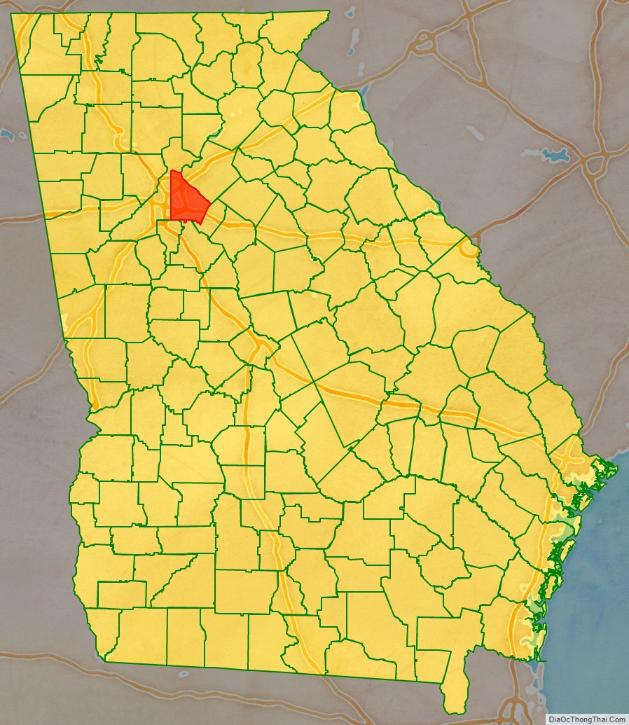
DeKalb County (/dəˈkæb/, /ˌdiːˈkæb/ də-KAB, DEE-KAB) is located in the north central portion of the U.S. state of Georgia. As of the 2020 census, the population was 764,382, making it Georgia’s fourth-most populous county. Its county seat is Decatur.
DeKalb County is included in the Atlanta-Sandy Springs-Roswell, GA Metropolitan Statistical Area. It contains roughly 10% of the city of Atlanta (the other 90% lies in Fulton County). DeKalb is primarily a suburban county.
In 2009, DeKalb earned the Atlanta Regional Commission’s “Green Communities” designation for its efforts in conserving energy, water and fuel, investing in renewable energy, reducing waste, and protecting and restoring natural resources.
In 2021, the non-profit American Rivers named DeKalb’s South River the fourth-most endangered river in the United States, citing “the egregious threat that ongoing sewage pollution poses to clean water and public health.”
In recent years, some communities in North DeKalb have incorporated, following a trend in other suburban areas around Metro Atlanta. Dunwoody and Brookhaven are now the largest cities that are entirely contained within the county.
| Name: | DeKalb County |
|---|---|
| FIPS code: | 13-089 |
| State: | Georgia |
| Founded: | 1822 |
| Named for: | Johann de Kalb |
| Seat: | Decatur |
| Largest city: | Atlanta (mostly in Fulton County) |
| Total Area: | 271 sq mi (700 km²) |
| Land Area: | 268 sq mi (690 km²) |
| Total Population: | 764,382 |
| Population Density: | 2,800/sq mi (1,100/km²) |
| Time zone: | UTC−5 (Eastern) |
| Summer Time Zone (DST): | UTC−4 (EDT) |
| Website: | www.co.dekalb.ga.us |
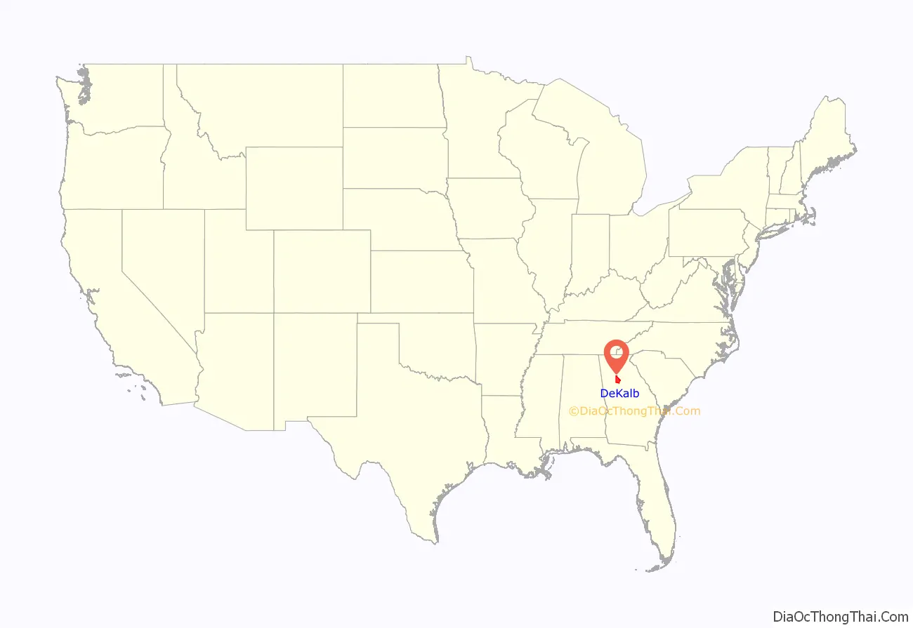
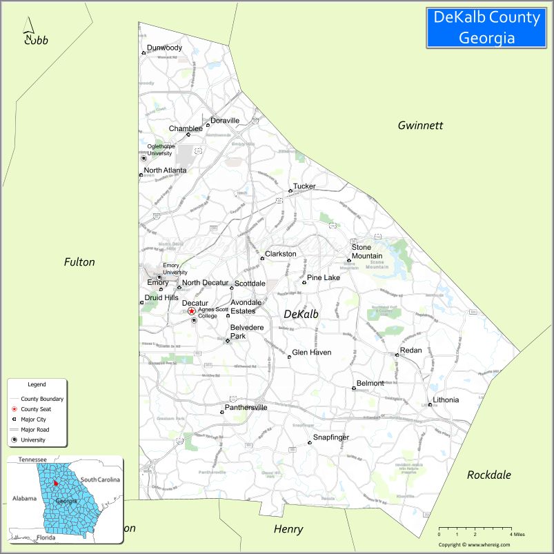
DeKalb County location map. Where is DeKalb County?
History
The area of DeKalb county was acquired by the state of Georgia as a result of the 1821 Treaty of Indian Springs with a faction of the Muscogee (Creek). DeKalb County, formed in 1822 from Henry, Gwinnett and Fayette counties, took its name from Baron Johann de Kalb (1721-1780), a Bavarian-born former officer in the French Army, who fought for the Continental Army in the American Revolutionary War. The oldest existing house in the county is the 1831 Goodwin House along Peachtree Road in Brookhaven. Much of the area was forested; a section of old-growth forest is preserved at Fernbank Forest.
In 1853, Fulton County formed from the western half of DeKalb, divided along a perfectly straight and due north–south line down the middle (along which Moreland Avenue now runs). Until this time, the growing city of Atlanta had been inside DeKalb. Atlanta grew because the city of Decatur did not want to become the railroad terminus in the 1830s, thus a spot at the Thrasherville encampment in western DeKalb was picked to become Terminus and then Marthasville, before becoming Atlanta a few years after its founding. North and southwest Fulton came from two other counties: Milton and southeast Campbell, respectively. DeKalb once extended slightly further north to the Chattahoochee River, but this strip was later given to Milton, and is now the panhandle of Sandy Springs.
During the Civil War, much of the Battle of Atlanta took place in DeKalb.
Until the 1960s, DeKalb was a mainly agricultural county, but as the sprawl of the metropolitan Atlanta region expanded, DeKalb became increasingly urbanized. Finished in 1969, the eastern half of the Interstate 285 beltway, called “the Perimeter”, ringed the northeastern and southern edges of the county, placing most of it “inside the Perimeter” along with nearly all of Atlanta. Interstate 675 and Georgia 400 were originally planned to connect inside the Perimeter, along with the Stone Mountain Freeway (U.S. Highway 78) connecting with the Downtown Connector (a co-signment of I-75/I-85) near Moreland Avenue, destroying many neighborhoods in western DeKalb, but community opposition in the early 1970s spared them this fate of urbanization, although part of the proposed Stone Mountain Tollway later became the Freedom Parkway. Only Interstate 20 and Interstate 85 were successfully built through the county. DeKalb also became one of only two counties to approve MARTA rapid transit in the 1970s; the county now contains the east and northeast heavy rail lines.
In April 2018, more than 350 bus drivers for DeKalb County School District went on strike over low pay and poor working conditions, resulting in seven bus drivers being fired.
The DeKalb County seal was created in 1967, by artist Jackson Bailey. The design is based on a passage from Aristotle in which a comparison is made between human progress and the relay race. The background landscape shows planted fields, which is a tribute to DeKalb’s heritage as an agrarian community and Stone Mountain, now recognized as Georgia’s most popular tourist attraction. The date of the county’s founding, 1822, is at the bottom of the seal.
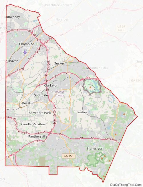
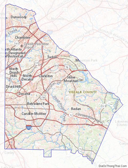
DeKalb County Road Map
Geography
According to the U.S. Census Bureau, the county has a total area of 271 square miles (700 km), of which 268 square miles (690 km) is land and 3.6 square miles (9.3 km) (1.3%) is water. The county is located within the upper Piedmont region of the state.
The county is crossed by the South River and numerous creeks, including Nancy Creek, Snapfinger Creek and two forks of Peachtree Creek. Peachtree Creek and Nancy Creek drain into the Chattahoochee River and eventually to the Gulf of Mexico. South River drains into the Ocmulgee River and ultimately into the Atlantic Ocean.
The southern two-thirds of DeKalb County, in a line from Druid Hills northeast to Tucker, is located in the Upper Ocmulgee River sub-basin of the Altamaha River basin, while the portion of the county north of that line is located in the Upper Chattahoochee River sub-basin of the ACF River Basin (Apalachicola-Chattahoochee-Flint River Basin).
Stone Mountain lies near the eastern border of the county. Soapstone Ridge, parallel to the southern border, was heavily quarried between 1400 and 100 BC and objects made from the soapstone have been found as far away as the Great Lakes.
Adjacent counties
- Gwinnett County – north
- Rockdale County – east
- Henry County – south
- Clayton County – southwest
- Fulton County – west
DeKalb County Topographic Map
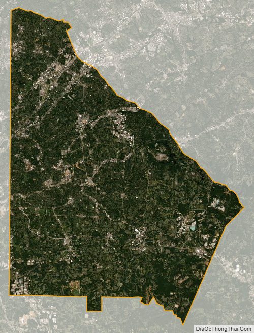
DeKalb County Satellite Map
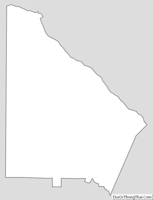
DeKalb County Outline Map