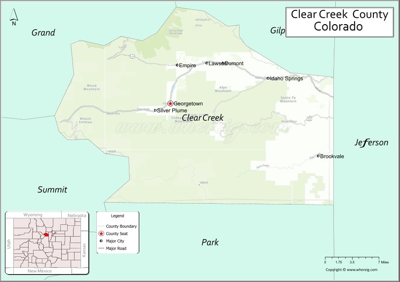
Clear Creek County is a county located in the U.S. state of Colorado. As of the 2020 census, the population was 9,397. The county seat is Georgetown.
Clear Creek County is part of the Denver metropolitan area.
| Name: | Clear Creek County |
|---|---|
| FIPS code: | 08-019 |
| State: | Colorado |
| Founded: | November 1, 1861 |
| Named for: | Clear Creek |
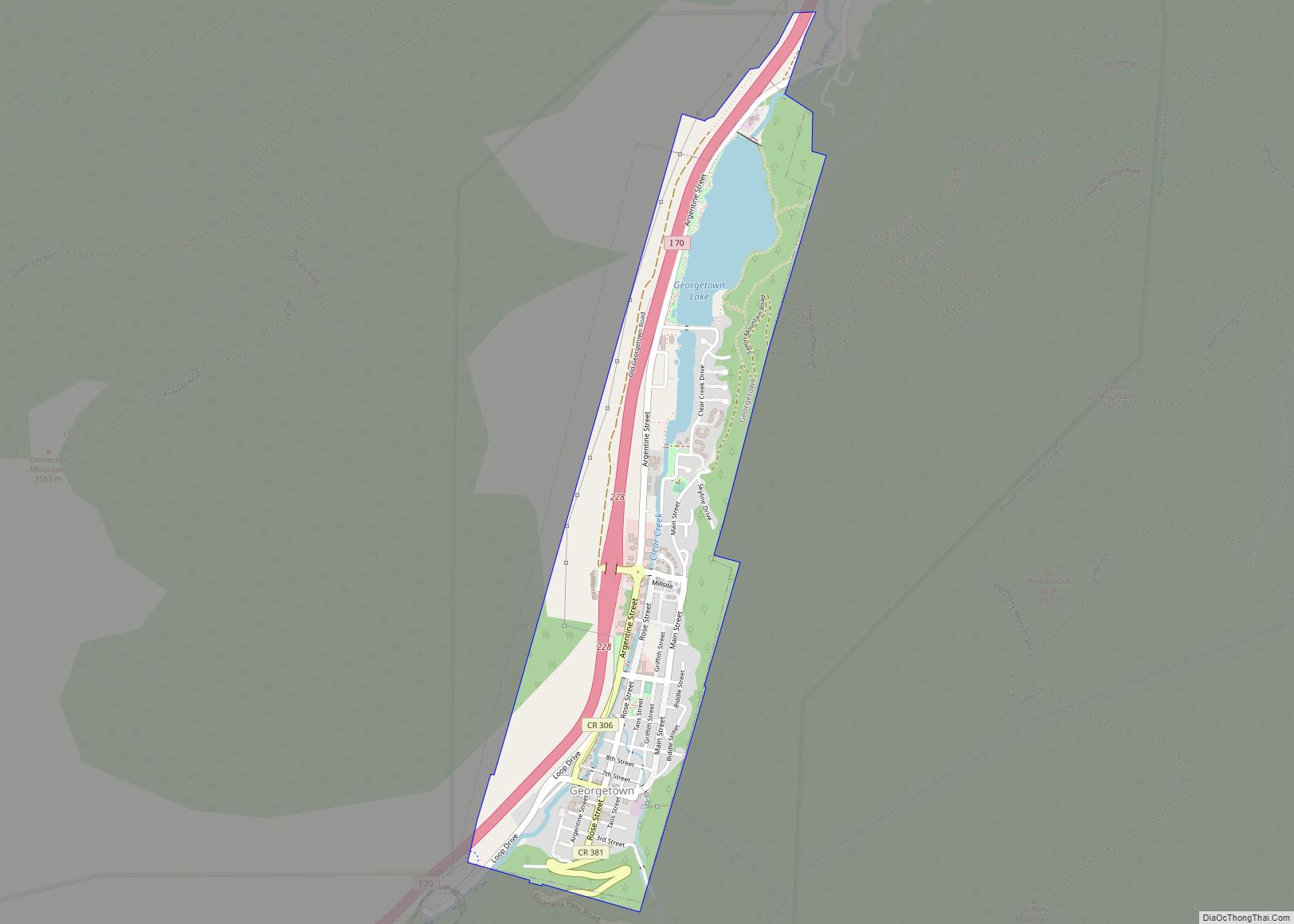
| Seat: | Georgetown |
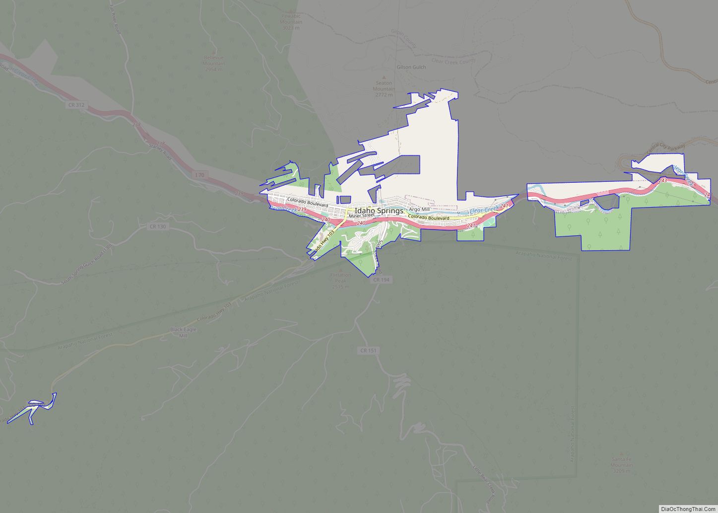
| Largest city: | Idaho Springs |
| Total Area: | 396 sq mi (1,030 km²) |
| Land Area: | 395 sq mi (1,020 km²) |
| Total Population: | 9,446 |
| Population Density: | 24/sq mi (9/km²) |
| Time zone: | UTC−7 (Mountain) |
| Summer Time Zone (DST): | UTC−6 (MDT) |
| Website: | www.clearcreekcounty.us |
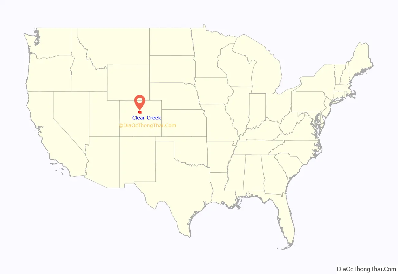
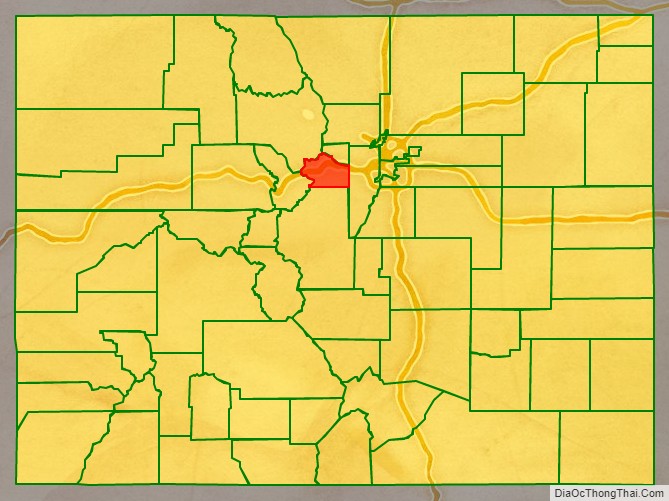
Clear Creek County location map. Where is Clear Creek County?
History
Clear Creek County was one of the original 17 counties created by the Colorado legislature on 1 November 1861, and is one of only two counties (along with Gilpin) to have persisted with its original boundaries unchanged. It was named after Clear Creek, which runs down from the continental divide through the county. Idaho Springs was originally designated the county seat, but the county government was moved to Georgetown in 1867.
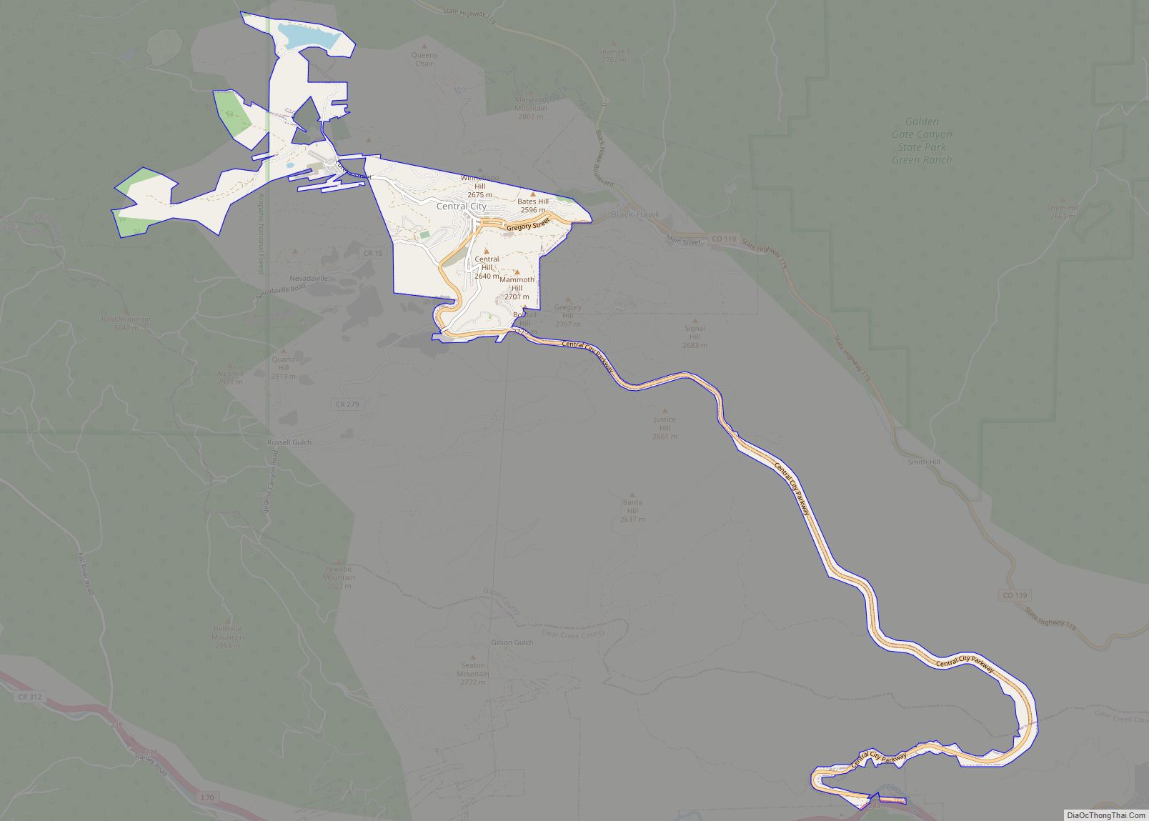
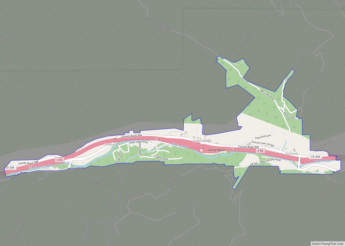
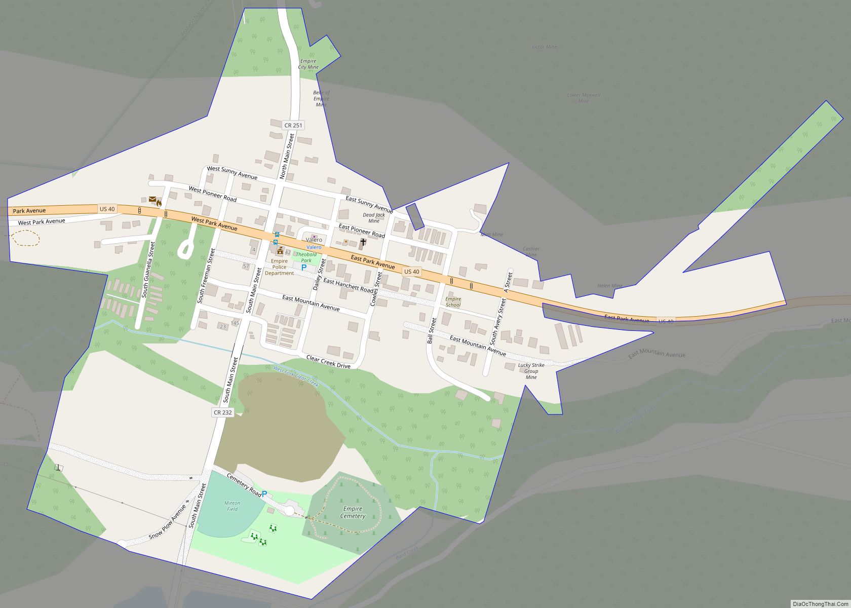
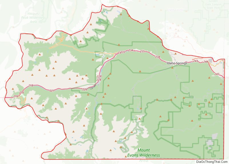
Clear Creek County Road Map
Geography
According to the U.S. Census Bureau, the county has a total area of 396 square miles (1,030 km), of which 395 square miles (1,020 km) is land and 1.3 square miles (3.4 km) (0.3%) is water.
Adjacent counties
Major highways
- Interstate 70
- U.S. Highway 6
- U.S. Highway 40
- State Highway 5
- State Highway 103
- Central City Parkway
National protected areas
- Pike National Forest
- Roosevelt National Forest
- James Peak Wilderness
- Mount Evans Wilderness
Scenic trails and byways
- American Discovery Trail
- Continental Divide National Scenic Trail
- Grays Peak National Recreation Trail
- Mount Evans National Recreation Trail
- Guanella Pass Scenic Byway
- Mount Evans Scenic Byway
Clear Creek County Topographic Map
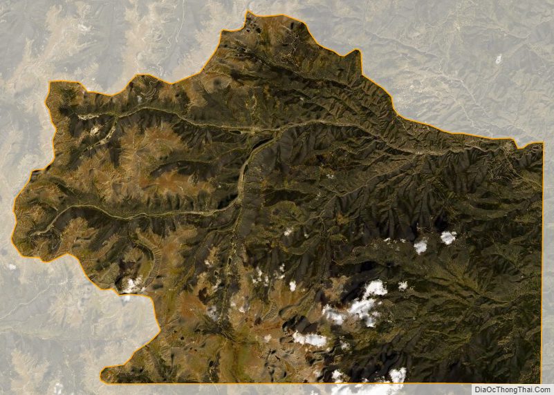
Clear Creek County Satellite Map
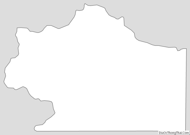
Clear Creek County Outline Map