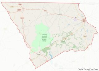
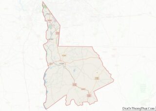
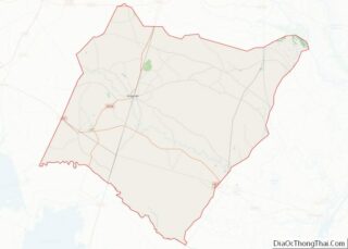
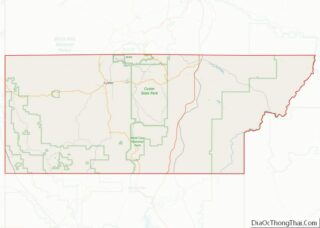
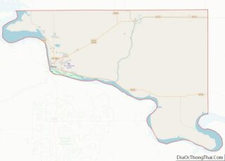
Map of Graham County, North Carolina
Graham County (locally /ˈɡreɪˌhæm/) is a county located in the U.S. state of North Carolina. As of the 2020 census, the population was 8,030, making it the third-least populous county in North Carolina. Its county seat is Robbinsville. Graham County overview: Name: Graham County FIPS code: 37-075 State: North Carolina Founded: 1872 Named for: William ... Read more
Map of Graham County, North Carolina
Map of Lenoir County, North Carolina
Lenoir County is a county in the U.S. state of North Carolina. As of the 2020 census, its population was 55,122. Its county seat is Kinston, located on the Neuse River, across which the county has its territory. Lenoir County comprises the Kinston Micropolitan statistical area. Lenoir County overview: Name: Lenoir County FIPS code: 37-107 ... Read more
Map of Lenoir County, North Carolina
Map of Pasquotank County, North Carolina
Pasquotank County (/ˈpæskwətæŋk/ (listen)) is a county located in the U.S. state of North Carolina. As of the 2020 census, the population was 40,568. Its county seat is Elizabeth City. The county was originally created as Pasquotank Precinct and gained county status in 1739. Pasquotank County is part of the Elizabeth City, NC Micropolitan Statistical ... Read more
Map of Pasquotank County, North Carolina
Map of Surry County, North Carolina
Surry County is a county located in the U.S. state of North Carolina. As of the 2020 census, the population was 71,359. Its county seat is Dobson, and its largest city is Mount Airy. Surry county comprises the Mount Airy, NC Micropolitan Statistical Area, which is also included in the Greensboro–Winston-Salem–High Point, NC Combined Statistical ... Read more
Map of Surry County, North Carolina
Map of Barnes County, North Dakota
Barnes County is a county in the U.S. state of North Dakota. As of the 2020 census, the population was 10,853. Its county seat is Valley City. In 1872, the Dakota Territory legislature authorized Burbank County (named for governor John A. Burbank); in 1874 they renamed it Barnes County, for Alanson H. Barnes (1818–1890), an ... Read more
Map of Barnes County, North Dakota
Map of Grand Forks County, North Dakota
Grand Forks County is a county in the U.S. state of North Dakota. As of the 2020 census, its population was 73,170, making it the third-most populous county in North Dakota. Its county seat and largest community is Grand Forks. Grand Forks County overview: Name: Grand Forks County FIPS code: 38-035 State: North Dakota Founded: ... Read more
Map of Grand Forks County, North Dakota
Map of Pembina County, North Dakota
Pembina County is a county in the U.S. state of North Dakota. At the 2020 census its population was 6,844. The county seat is Cavalier. Pembina County overview: Name: Pembina County FIPS code: 38-067 State: North Dakota Founded: 1867 Named for: a Chippewa term Seat: Cavalier Largest city: Cavalier Total Area: 1,121 sq mi (2,900 km²) Land Area: ... Read more
Map of Pembina County, North Dakota
Map of Walsh County, North Dakota
Walsh County is a county in the U.S. state of North Dakota. As of the 2020 census, the population was 10,563. Its county seat is Grafton. Walsh County overview: Name: Walsh County FIPS code: 38-099 State: North Dakota Founded: 1881 Named for: George H. Walsh Seat: Grafton Largest city: Grafton Total Area: 1,294 sq mi (3,350 km²) Land ... Read more
Map of Walsh County, North Dakota
Map of Clermont County, Ohio
Clermont County, popularly called Clermont (/ˈklɪrmɒnt/ KLEER-mont), is a county in the U.S. state of Ohio. As of the 2020 census, the population was 208,601. Ordinanced in 1800 as part of the Virginia Military District, Clermont is Ohio’s eighth oldest county, the furthest county west in Appalachian Ohio, and the eleventh oldest county of the ... Read more
Map of Clermont County, Ohio
Map of Guernsey County, Ohio
Guernsey County is a county located in the U.S. state of Ohio. As of the 2020 census, the population was 38,438. Its county seat and largest city is Cambridge. It is named for the Isle of Guernsey in the English Channel, from which many of the county’s early settlers emigrated. Guernsey County comprises the Cambridge, ... Read more
Map of Guernsey County, Ohio
Map of Licking County, Ohio
Licking County is a county located in the central portion of the U.S. state of Ohio. At the 2020 census, the population was 178,519. Its county seat is Newark. The county was formed on January 30, 1808, from portions of Fairfield County. It is named after the Licking River, which is thought to be named ... Read more
Map of Licking County, Ohio
Map of Noble County, Ohio
Noble County is a county located in the U.S. state of Ohio. As of the 2020 census, the population was 14,115, making it the fourth-least populous county in Ohio. Its county seat is Caldwell. The county is named for Rep. Warren P. Noble of the Ohio House of Representatives, who was an early settler there. ... Read more
Map of Noble County, Ohio