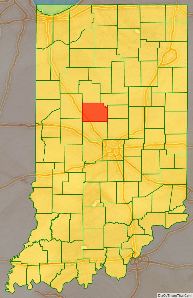
Clinton County is a county located in the U.S. state of Indiana. As of 2010, the population was 33,224. The county seat is Frankfort.
| Name: | Clinton County |
|---|---|
| FIPS code: | 18-023 |
| State: | Indiana |
| Founded: | 1830 |
| Named for: | DeWitt Clinton |
| Seat: | Frankfort |
| Largest city: | Frankfort |
| Total Area: | 405.25 sq mi (1,049.6 km²) |
| Land Area: | 405.07 sq mi (1,049.1 km²) |
| Population Density: | 82.0/sq mi (31.67/km²) |
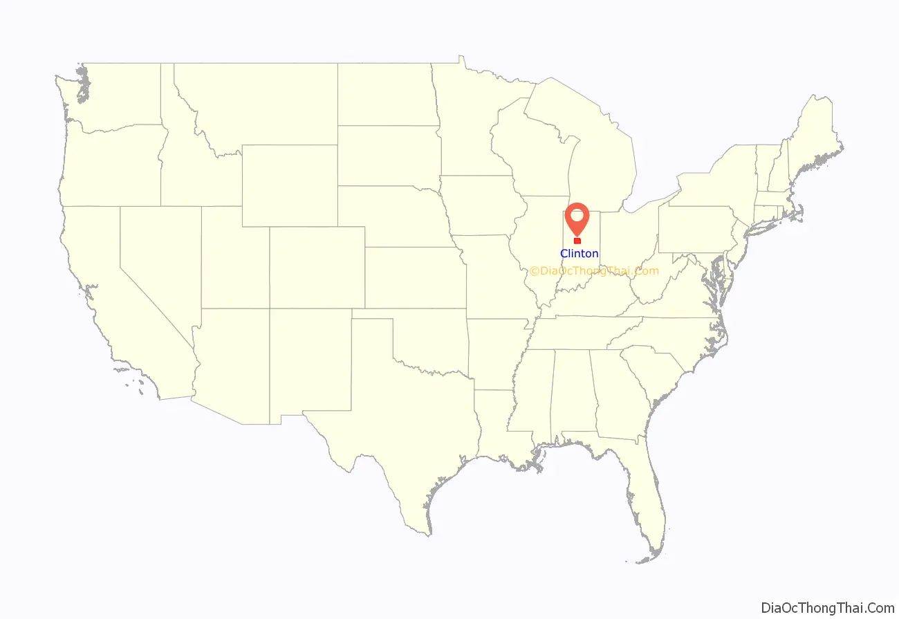
Clinton County location map. Where is Clinton County?
History
Clinton County officially came into existence on March 1, 1830, and was named in honor of DeWitt Clinton, the sixth Governor of New York State and architect of the Erie Canal, which opened up the Upper Midwest to settlement. The act forming the county was approved by the Indiana General Assembly on January 29, 1830, and created Clinton from the eastern parts of neighboring Tippecanoe County.
Lieutenant General James F. Record was born and raised in Clinton County; Gen Record was awarded 3x Distinguished Service Crosses for his gallantry during the Vietnam War.
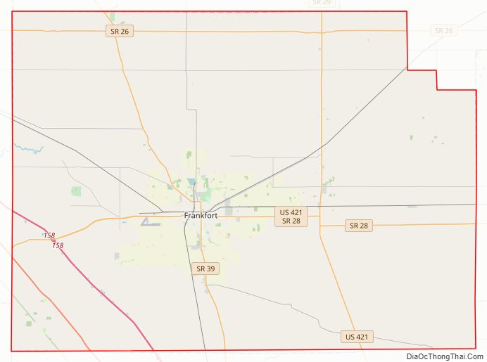
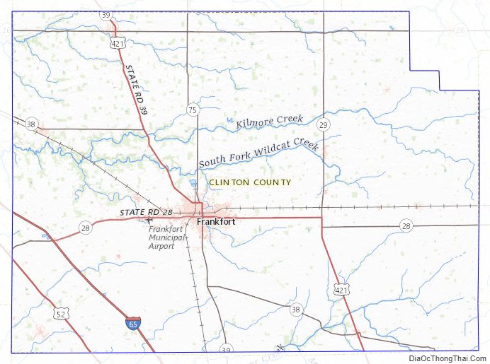
Clinton County Road Map
Geography
According to the 2010 census, the county has a total area of 405.25 square miles (1,049.6 km), of which 405.07 square miles (1,049.1 km) (or 99.96%) is land and 0.18 square miles (0.47 km) (or 0.04%) is water. There is E85 in Clinton County.
Adjacent counties
- Carroll County (north)
- Howard County (northeast)
- Tipton County (east)
- Hamilton County (southeast)
- Boone County (south)
- Montgomery County (southwest)
- Tippecanoe County (west)
Cities and towns
Unincorporated towns
Extinct towns
- Berlin
- Martinsville
- Prairieville
Townships
Major highways
- Interstate 65
- U.S. Route 52
- U.S. Route 421
- Indiana State Road 26
- Indiana State Road 28
- Indiana State Road 29
- Indiana State Road 38
- Indiana State Road 39
- Indiana State Road 75
Airport
Clinton County is served by the Frankfort Municipal Airport.
Railroads
- CSX Transportation
- Norfolk Southern Railway
Clinton County Topographic Map
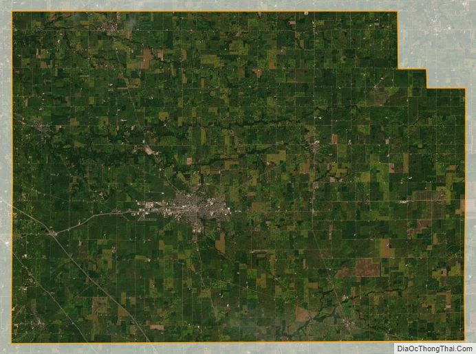
Clinton County Satellite Map
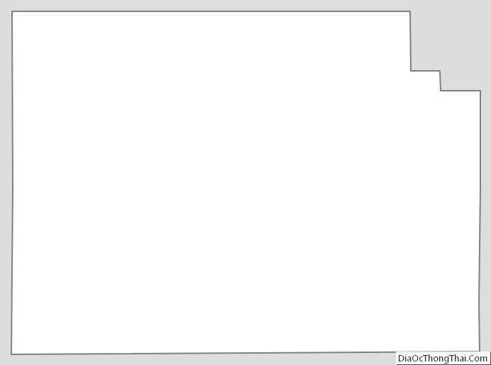
Clinton County Outline Map