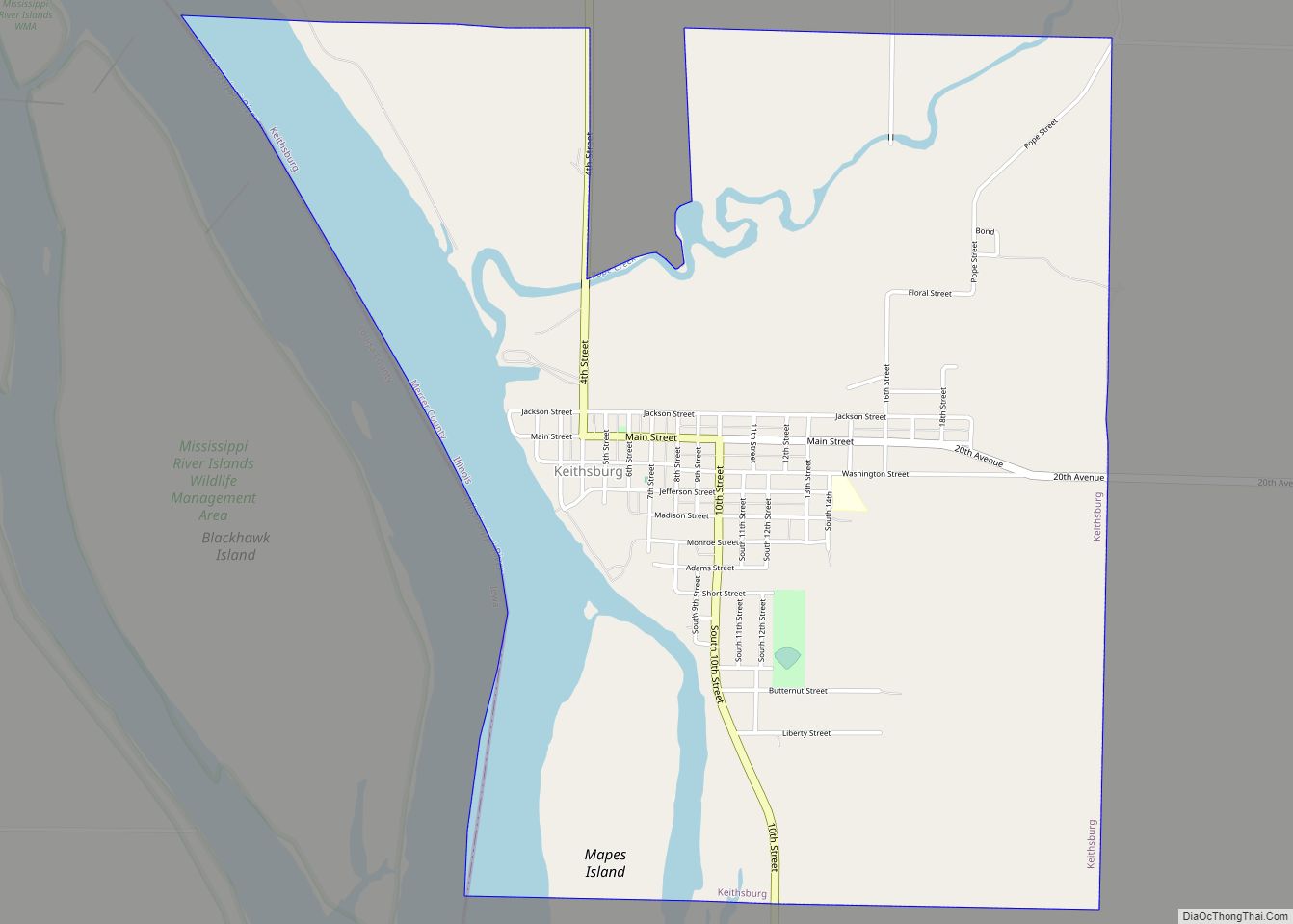
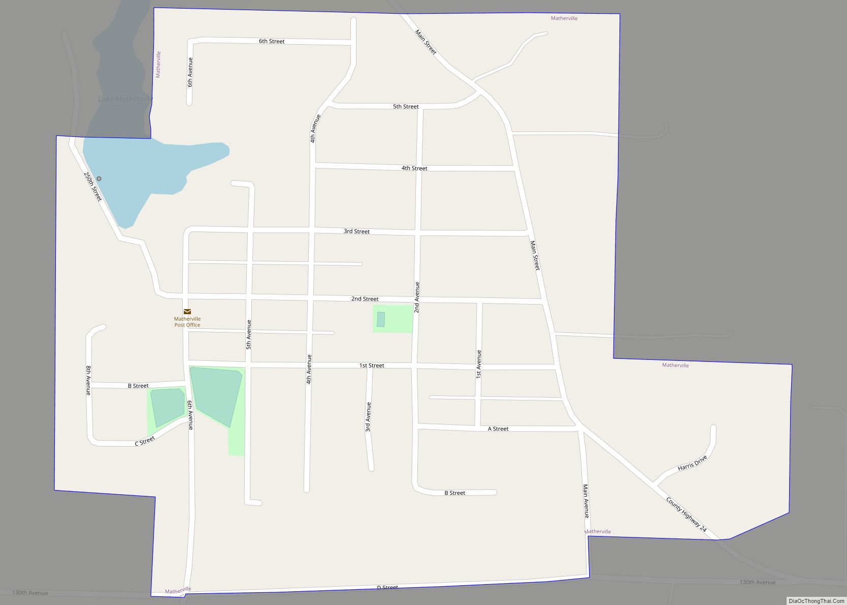
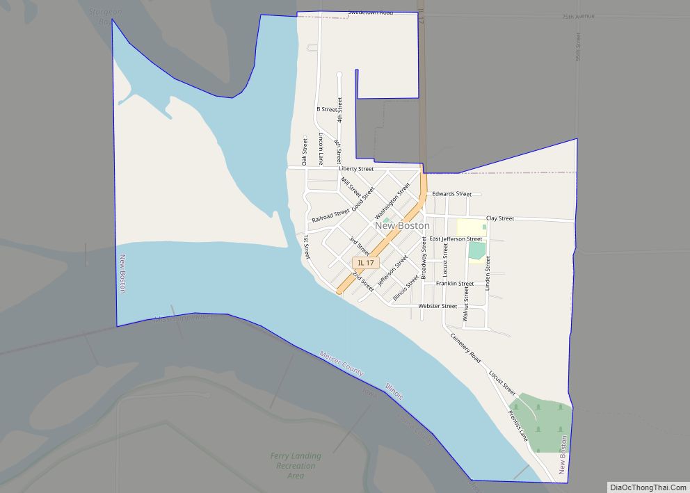
Mercer County is a county in Illinois. According to the 2010 census, it had a population of 16,434. Its county seat is Aledo.
Mercer County is included in the Davenport–Moline–Rock Island, IA-IL Metropolitan Statistical Area.
| Name: | Mercer County |
|---|---|
| FIPS code: | 17-131 |
| State: | Illinois |
| Founded: | January 13, 1825 |
| Named for: | Hugh Mercer |
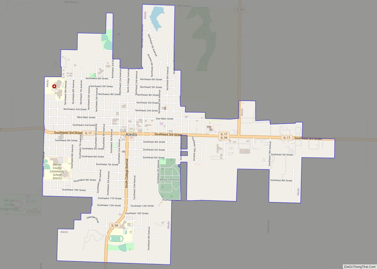
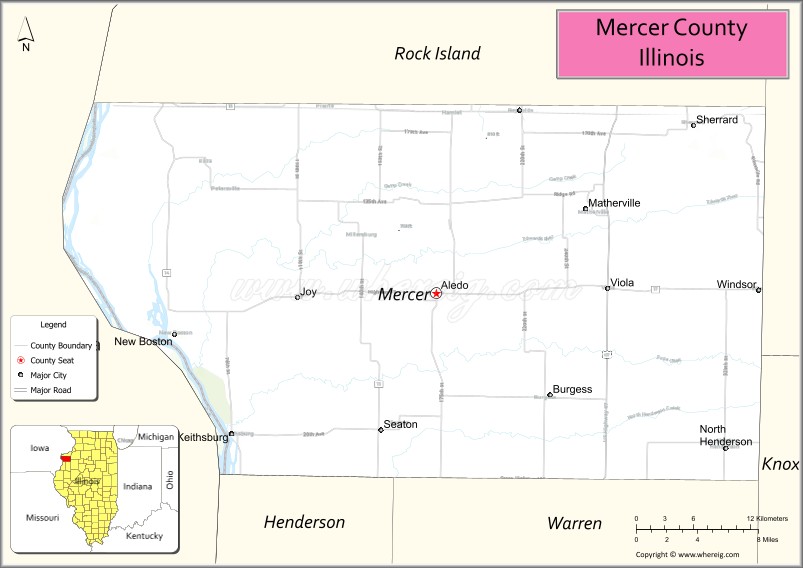
| Seat: | Aledo |
| Largest city: | Aledo |
| Total Area: | 569 sq mi (1,470 km²) |
| Land Area: | 561 sq mi (1,450 km²) |
| Total Population: | 15,699 |
| Population Density: | 28/sq mi (11/km²) |
| Time zone: | UTC−6 (Central) |
| Summer Time Zone (DST): | UTC−5 (CDT) |
| Website: | www.mercercountyil.org |
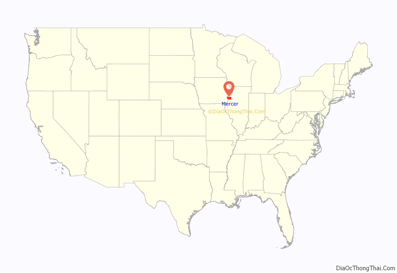
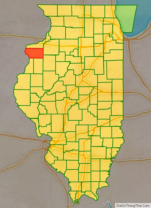
Mercer County location map. Where is Mercer County?
History
Mercer County is named for Hugh Mercer (1726–1777), a physician and general during the American Revolution who died from wounds suffered at the Battle of Princeton.
In May 1812, Congress passed an act which set aside lands in Arkansas, Michigan, and Illinois as payment to volunteer soldiers in the War of 1812. Mercer County was part of this “Military Tract.”
Seven years after Illinois became a state, Mercer County was founded. It was formed from unorganized territory near Pike County on January 13, 1825. Although the county had been created, its government was not organized for several years; for administration purposes it was attached first to Schuyler County (until 1826), then to Peoria (until 1831), and finally to Warren County. The organization of the county government was finally completed in 1835, after a large influx of settlers following the Black Hawk War.
Mercer County at the time of its creation in 1825
Mercer County in 1827, reduced to its present borders
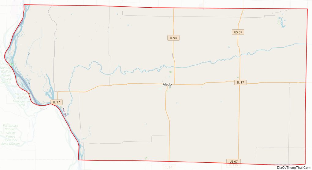
Mercer County Road Map
Geography
According to the U.S. Census Bureau, the county has a total area of 569 square miles (1,470 km), of which 561 square miles (1,450 km) is land and 7.5 square miles (19 km) (1.3%) is water.
Climate and weather
In recent years, average temperatures in the county seat of Aledo have ranged from a low of 11 °F (−12 °C) in January to a high of 84 °F (29 °C) in July, although a record low of −30 °F (−34 °C) was recorded in February 1905 and a record high of 113 °F (45 °C) was recorded in July 1936. Average monthly precipitation ranged from 1.27 inches (32 mm) in January to 4.43 inches (113 mm) in June.
Major highways
- U.S. Highway 67
- Illinois Route 17
- Illinois Route 94
- Illinois Route 135
Adjacent counties
- Rock Island County – north
- Henry County – east
- Knox County – southeast
- Henderson County – south
- Warren County – south
- Des Moines County, Iowa – southwest
- Louisa County, Iowa – west
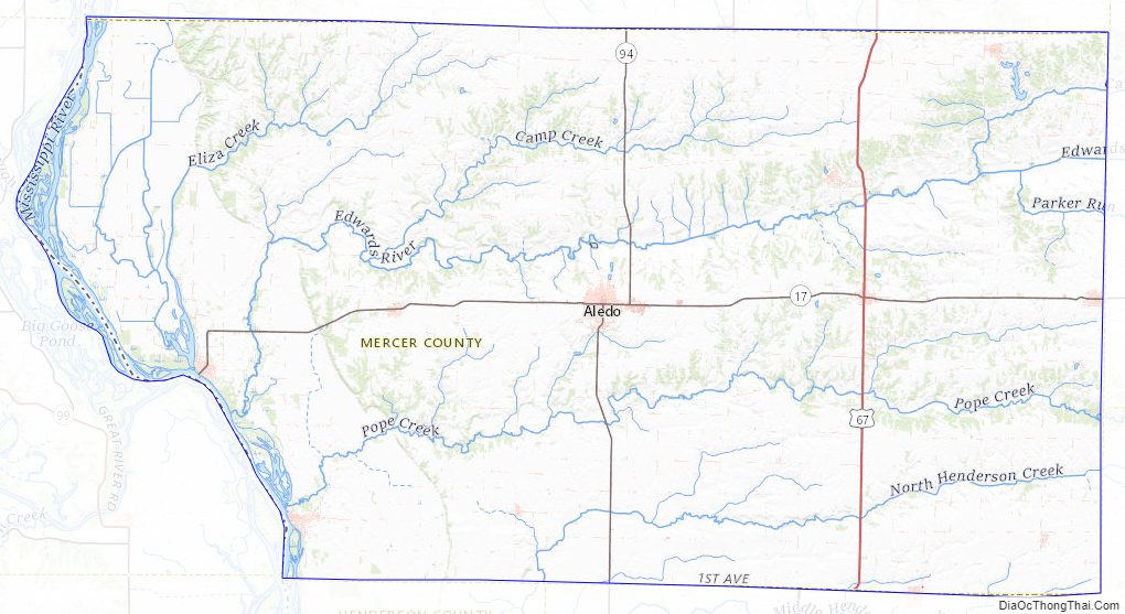
Mercer County Topographic Map
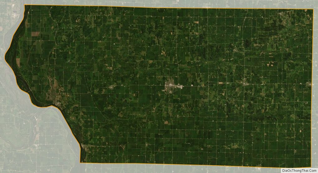
Mercer County Satellite Map
Mercer County Outline Map