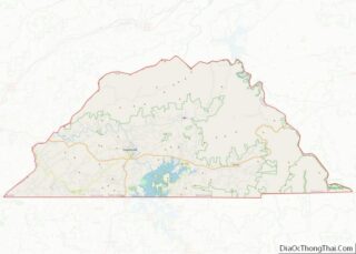
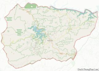
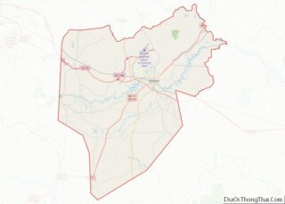
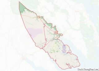
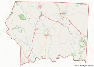
Map of Smyth County, Virginia
Smyth County is a county located in the U.S. state of Virginia. As of the 2020 census, the population was 29,800. Its county seat is Marion. Smyth County overview: Name: Smyth County FIPS code: 51-173 State: Virginia Founded: 1832 Named for: Alexander Smyth Seat: Marion Largest town: Marion Total Area: 452 sq mi (1,170 km²) Land Area: 451 sq mi ... Read more
Map of Smyth County, Virginia
Map of Wise County, Virginia
Wise County is a county located in the U.S. state of Virginia. The county was formed in 1856 from Lee, Scott, and Russell Counties and named for Henry A. Wise, who was the Governor of Virginia at the time. Wise County overview: Name: Wise County FIPS code: 51-195 State: Virginia Founded: 1856 Named for: Henry ... Read more
Map of Wise County, Virginia
Map of Grays Harbor County, Washington
Grays Harbor County overview: Name: Grays Harbor County FIPS code: 53-027 State: Washington Founded: April 14, 1854 Named for: Grays Harbor Seat: Montesano Largest city: Aberdeen Total Area: 2,224 sq mi (5,760 km²) Land Area: 1,902 sq mi (4,930 km²) Total Population: 75,636 Population Density: 38.3/sq mi (14.8/km²) Grays Harbor County location map. Where is Grays Harbor County? History The county is ... Read more
Map of Grays Harbor County, Washington
Map of Skamania County, Washington
Skamania County (/skəˈmeɪniə/) is a county located in the U.S. state of Washington. As of the 2020 census, the population was 12,036. The county seat and largest incorporated city is Stevenson, although the Carson River Valley CDP is more populous. Skamania County is included in the Portland–Vancouver–Hillsboro, OR-WA Metropolitan Statistical Area. Skamania County overview: Name: ... Read more
Map of Skamania County, Washington
Map of Calhoun County, West Virginia
Calhoun County is a county in the U.S. state of West Virginia. As of the 2020 census, the population was 6,229, making it the third-least populous county in West Virginia. Its county seat is Grantsville. The county was founded in 1856 and named for South Carolina politician John C. Calhoun. Calhoun County overview: Name: Calhoun ... Read more
Map of Calhoun County, West Virginia
Map of Logan County, West Virginia
Logan County is a county in the U.S. state of West Virginia. As of the 2020 census, the population was 32,567. Its county seat is Logan. Logan County comprises the Logan, WV Micropolitan Statistical Area, which is also included in the Charleston–Huntington–Ashland, WV–OH–KY Combined Statistical Area. Logan County overview: Name: Logan County FIPS code: 54-045 ... Read more
Map of Logan County, West Virginia
Map of Preston County, West Virginia
Preston County is a county located in the U.S. state of West Virginia. As of the 2020 Census, the population was 34,216. Its county seat is Kingwood. The county was formed from Monongalia County in 1818 and named for Virginia Governor James Patton Preston. Preston County is part of the Morgantown, WV Metropolitan Statistical Area, ... Read more
Map of Preston County, West Virginia
Map of Wyoming County, West Virginia
Wyoming County is a county in the U.S. state of West Virginia. As of the 2020 census, the population was 21,382. Its county seat is Pineville. The county was created in 1850 from Logan County and named for the Lenape word meaning “large plains”. Wyoming County overview: Name: Wyoming County FIPS code: 54-109 State: West ... Read more
Map of Wyoming County, West Virginia
Map of Douglas County, Wisconsin
Douglas County is a county located at the northwest corner of the U.S. state of Wisconsin. As of the 2020 census, the population was 44,295 Its county seat is Superior. Douglas County is included in the Duluth, MN-WI Metropolitan Statistical Area. Douglas County overview: Name: Douglas County FIPS code: 55-031 State: Wisconsin Founded: February 8, ... Read more
Map of Douglas County, Wisconsin
Map of La Crosse County, Wisconsin
La Crosse County is a county located in the U.S. state of Wisconsin. At the 2020 census, the population was 120,784. Its county seat is La Crosse. La Crosse County is included in the La Crosse-Onalaska, WI-MN Metropolitan Statistical Area with a population of 139,627 and is the most populous county on Wisconsin’s western border. ... Read more
Map of La Crosse County, Wisconsin
Map of Ozaukee County, Wisconsin
Ozaukee County is a county in the U.S. state of Wisconsin. As of the 2020 census, the population was 91,503. Its county seat is Port Washington, making it one of three Wisconsin counties on Lake Michigan not to have a county seat with the same name. Ozaukee County is included in the Milwaukee–Waukesha–West Allis, WI ... Read more
Map of Ozaukee County, Wisconsin
Map of Trempealeau County, Wisconsin
Trempealeau County (/ˈtrɛm.pə.loʊ/, TREM-pə-loh) is a county in the U.S. state of Wisconsin. As of the 2020 census, the population was 30,760. Its county seat is Whitehall. Many people of Polish, Norwegian and German descent live in this area. Trempealeau County overview: Name: Trempealeau County FIPS code: 55-121 State: Wisconsin Founded: 1855 Named for: Trempealeau ... Read more
Map of Trempealeau County, Wisconsin