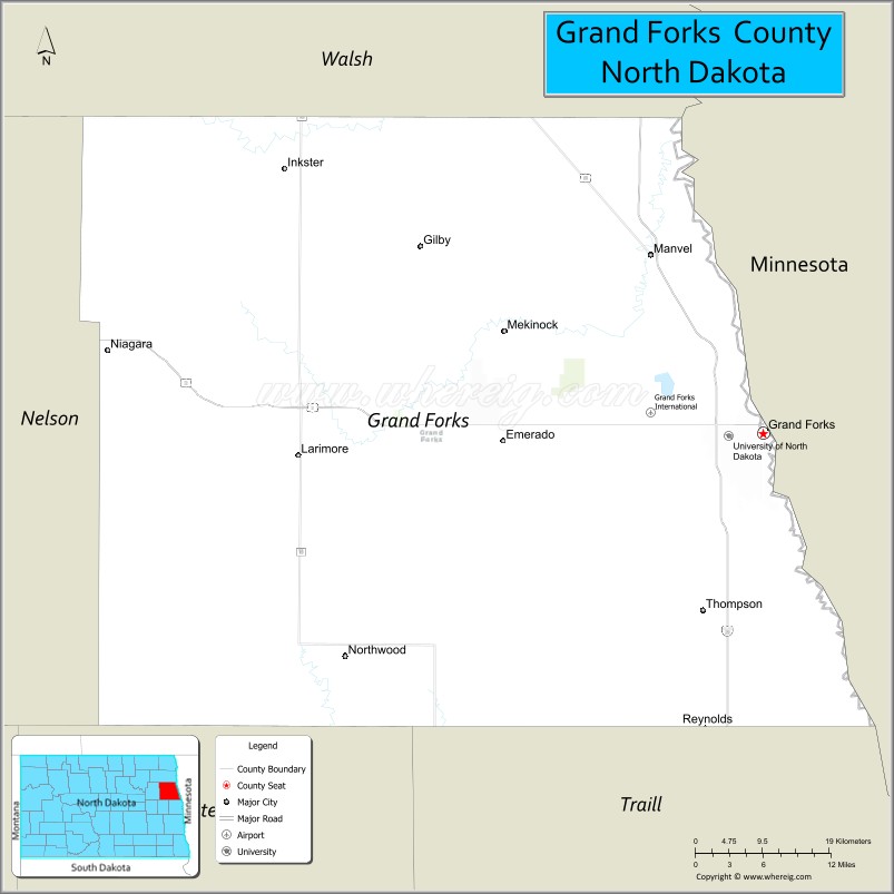
Grand Forks County is a county in the U.S. state of North Dakota. As of the 2020 census, its population was 73,170, making it the third-most populous county in North Dakota. Its county seat and largest community is Grand Forks.
| Name: | Grand Forks County |
|---|---|
| FIPS code: | 38-035 |
| State: | North Dakota |
| Founded: | 1873 |
| Seat: | Grand Forks |
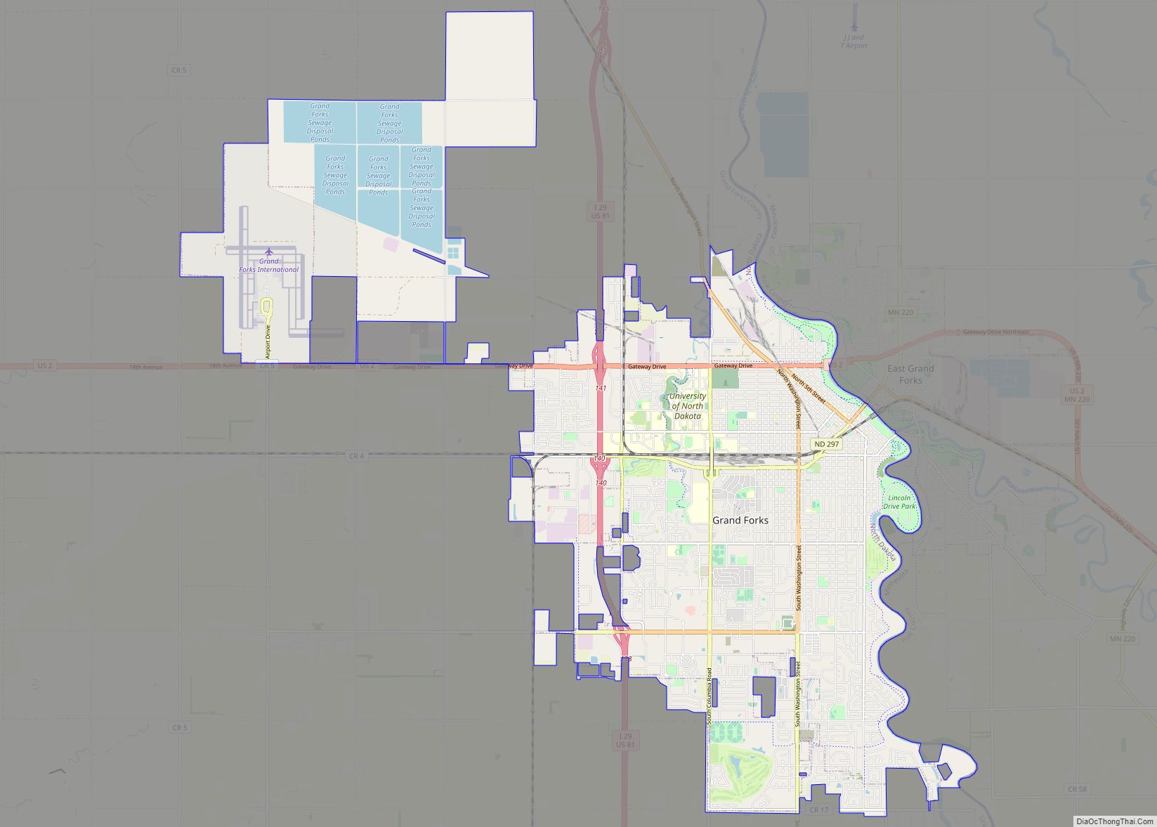
| Largest city: | Grand Forks |
| Total Area: | 1,440 sq mi (3,700 km²) |
| Land Area: | 1,436 sq mi (3,720 km²) |
| Total Population: | 73,170 |
| Population Density: | 51/sq mi (20/km²) |
| Time zone: | UTC−6 (Central) |
| Summer Time Zone (DST): | UTC−5 (CDT) |
| Website: | www.gfcounty.nd.gov |
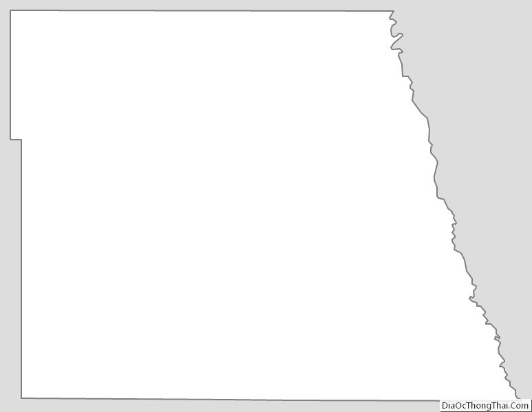
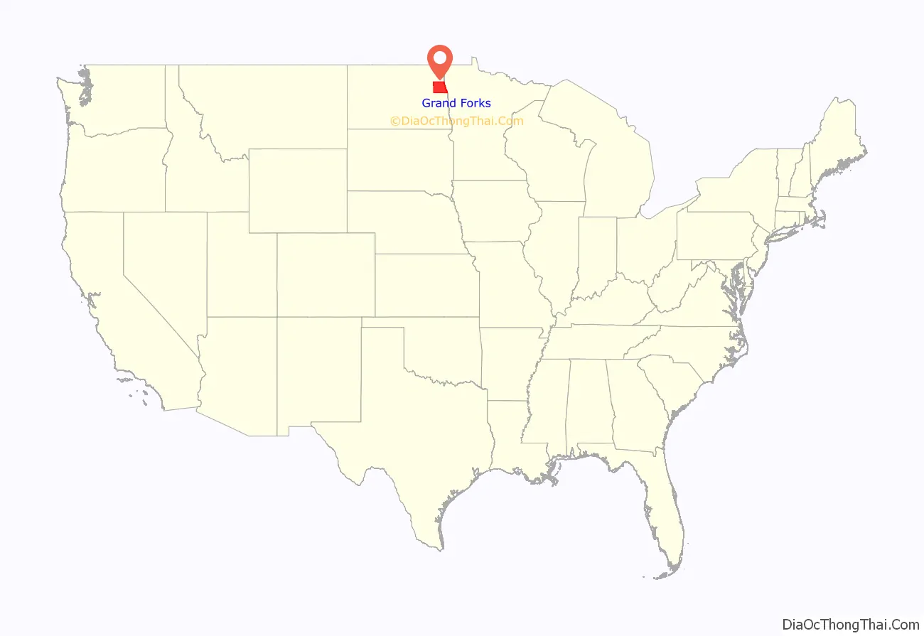
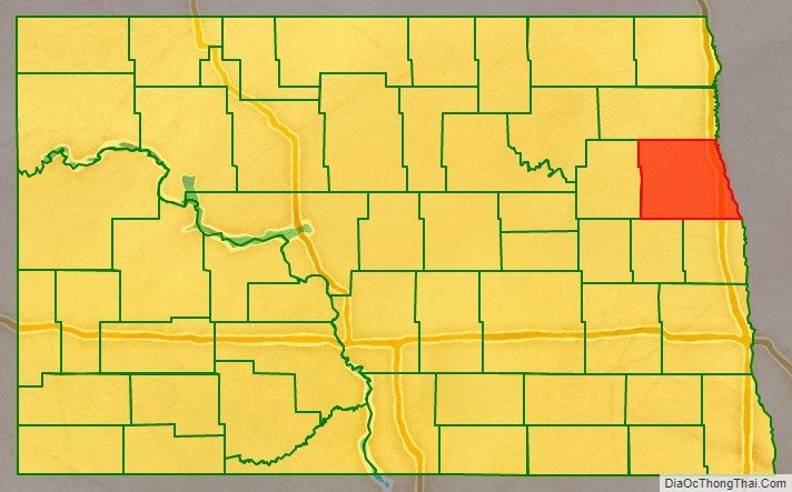
Grand Forks County location map. Where is Grand Forks County?
History
Using territory annexed from Pembina County, the Dakota Territory legislature created Grand Forks County on January 4, 1873. Its governing structure was not established at that time, nor was the territory attached to another county for administrative and judicial purposes. The government was organized on March 2, 1875.
The county’s boundaries were altered in 1875, 1881, and 1883. It has retained its present boundary since 1883.
Grand Forks County is included in the Grand Forks, ND-MN Metropolitan Statistical Area.
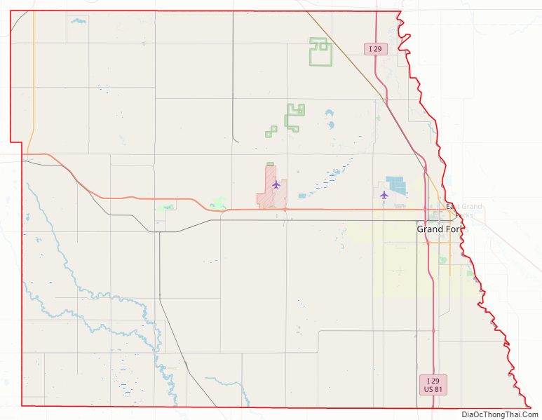
Grand Forks County Road Map
Geography
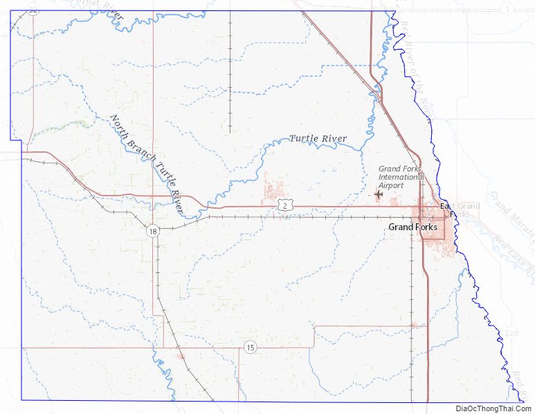
Grand Forks County lies on the east side of North Dakota. Its east boundary line abuts the west boundary line of the state of Minnesota (across the Red River). The Red River flows northward along the county’s east border, on its way to Lake Winnipeg and Hudson Bay. The Forest River flows easterly and northerly across the upper western part of the county.
The terrain of Grand Forks County consists of low rolling hills, devoted to agriculture except around urban areas. The terrain slopes to the north and east; its highest point is a hill at its southwestern corner, at 1,450′ (457m) ASL. The county has a total area of 1,440 square miles (3,700 km), of which 1,436 square miles (3,720 km) is land and 3.1 square miles (8.0 km) (0.2%) is water.
The University of North Dakota has established a Field Biology Station on Forest River, at the county’s northern border. In 2013 it partnered with ND Game & Fish Department to establish a 160-acre (0.65 km) wildlife management area at the station, to monitor whitetail deer activity in the forest. The field station is tasked with identifying plants native and endemic to the area. A total of 498 plants have been collected at the Forest River Biology Station and Wildlife Management Area.
Major highways
- Interstate 29
- U.S. Highway 2
- U.S. Highway 81
- North Dakota Highway 15
- North Dakota Highway 18
- North Dakota Highway 32
Adjacent counties
- Walsh County – north
- Marshall County, Minnesota – northeast
- Polk County, Minnesota – east
- Traill County – southeast
- Steele County – southwest
- Nelson County – west
Protected areas
- Forest River Biology Station/Wildlife Management Area
- Grand Forks County Larimore Dam Recreation Area
- Kellys Slough National Wildlife Refuge
- Little Goose National Wildlife Refuge
- Prairie Chicken State Game Management Area
- Turtle River State Park
Lakes
- Fordville Dam
- Larimore Dam
- Smith Lakes
Grand Forks County Topographic Map
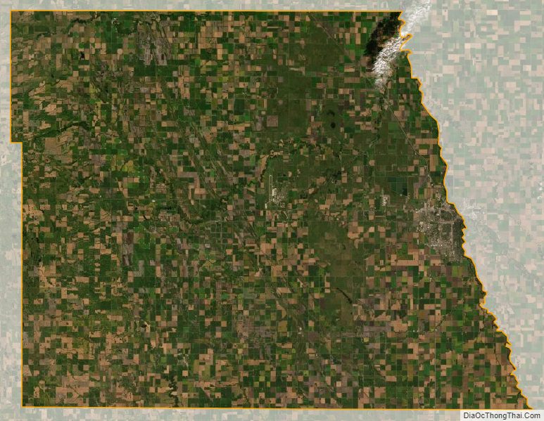
Grand Forks County Satellite Map
Grand Forks County Outline Map