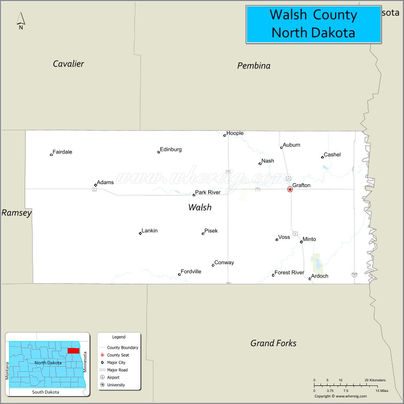
Walsh County is a county in the U.S. state of North Dakota. As of the 2020 census, the population was 10,563. Its county seat is Grafton.
| Name: | Walsh County |
|---|---|
| FIPS code: | 38-099 |
| State: | North Dakota |
| Founded: | 1881 |
| Named for: | George H. Walsh |
| Seat: | Grafton |
| Largest city: | Grafton |
| Total Area: | 1,294 sq mi (3,350 km²) |
| Land Area: | 1,282 sq mi (3,320 km²) |
| Total Population: | 10,563 |
| Population Density: | 8.2/sq mi (3.2/km²) |
| Time zone: | UTC−6 (Central) |
| Summer Time Zone (DST): | UTC−5 (CDT) |
| Website: | www.co.walsh.nd.us |
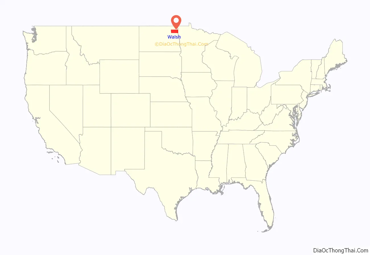
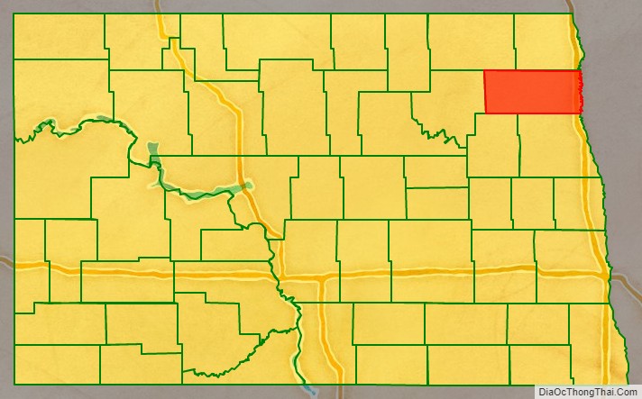
Walsh County location map. Where is Walsh County?
History
The Dakota Territory legislature created the county on May 2, 1881, with areas partitioned from Grand and Pembina counties. It was organized on August 30 of that same year, with Grafton as county seat. It was named for George H. Walsh (1845–1913), a newspaperman and politician in Grand Forks.
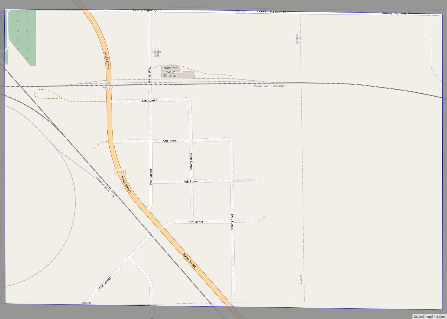
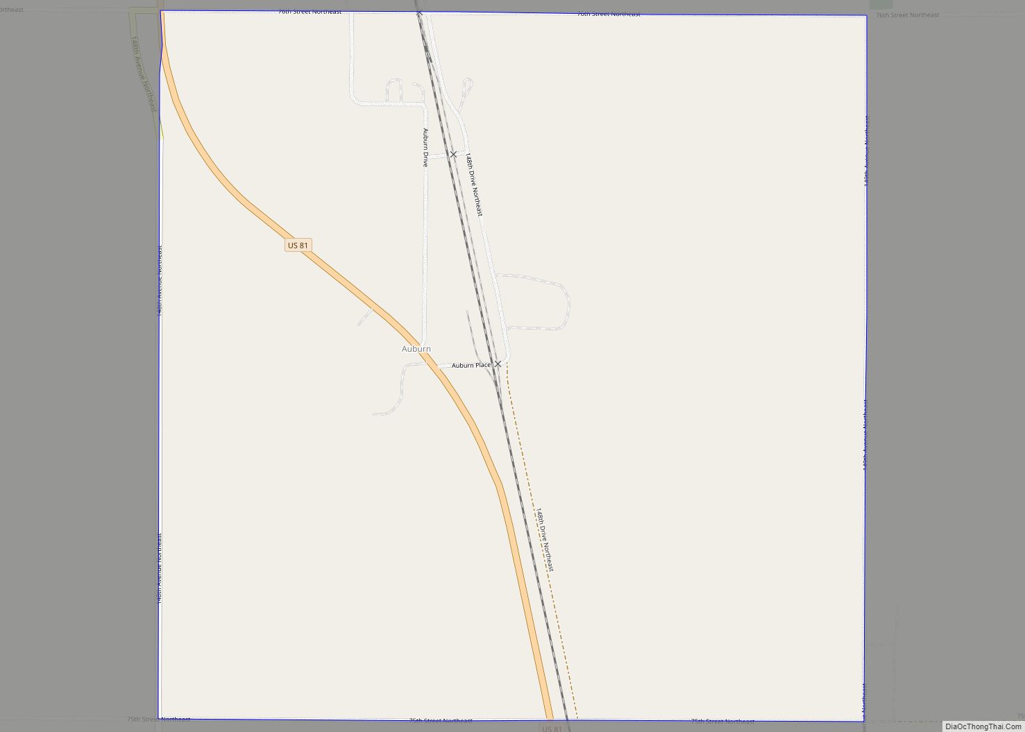
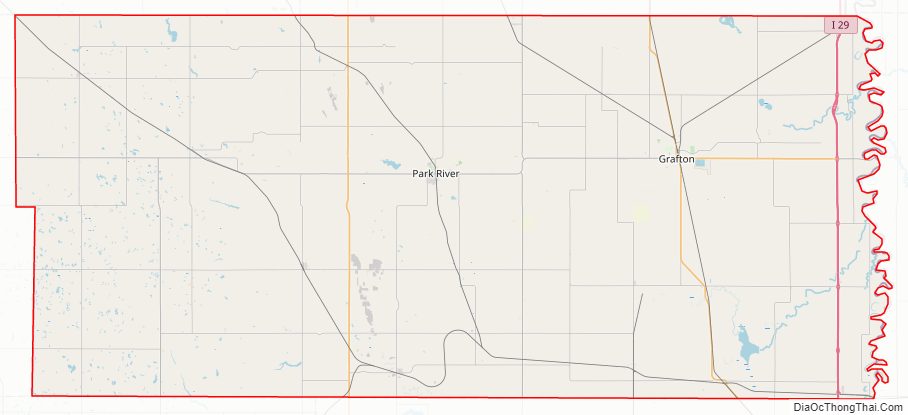
Walsh County Road Map
Geography
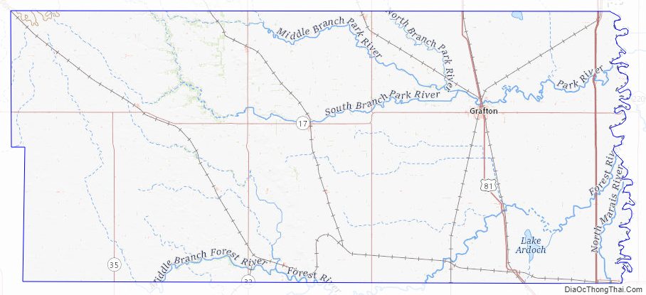
Walsh County lies on the eastern side of North Dakota. Its east boundary line abuts the west boundary line of the state of Minnesota (across the Red River). The Red River flows north along the east side of the county on its way to Hudson Bay in Canada. The south branch of the Park River flows easterly through the county to discharge into the Red on the east side of the county. The terrain generally slopes to the north and east, but the highest point is its northwest corner, at 1,647′ (502m) ASL. The county has a total area of 1,294 square miles (3,350 km), of which 1,282 square miles (3,320 km) is land and 12 square miles (31 km) (0.9%) is water.
Major highways
- Interstate 29
- U.S. Highway 81
- North Dakota Highway 17
- North Dakota Highway 18
- North Dakota Highway 32
- North Dakota Highway 35
Adjacent counties
- Pembina County – north
- Kittson County, Minnesota – northeast
- Marshall County, Minnesota – east
- Grand Forks County – south
- Nelson County – southwest
- Ramsey County – west
- Cavalier County – northwest
Protected areas
- Ardoch National Wildlife Refuge
- Fairdale Slough National Waterfowl Production Area
- National Waterfowl Production Area
- North Salt Lake State Game Management Area
Lakes
- Fairdale Slough
- Homme Lake
- North Salt Lake
- Salt Lake
- Waterloo Lake
Walsh County Topographic Map
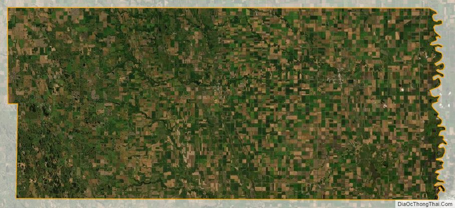
Walsh County Satellite Map
Walsh County Outline Map